Date: April 18, 2010
Partners: Carl Dowdy, Marc Barella, Matt Kamper, Chris Kamper
Route: Ascent of East Slopes from 9,100` on the Mt. Princeton Road, summit ski descent of East Couloirs, re-ascent to shoulder, ski descent of southeast facing gully to 10,200`
Stats: 5,500` climbed, 3,600` skied, 13 miles, 10 hours
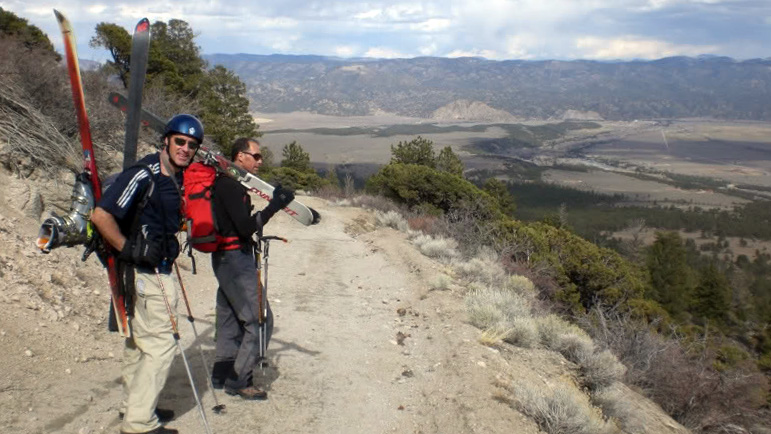
Matt had plenty of time to scope out Princeton from BV during his mid-week Sawatch ski campaign. After he told me it looked good and was almost certainly in from the summit, I started working to convince Carl that we should ski it Sunday. Eventually Carl was in, as were two other skiers, Marc (Carl`s neighbor) and Chris (Matt`s brother). The five of us met at the Young Life camp at the bottom of the road at 6:30am and geared up for a long road hike after being ousted almost immediately by a snow drift a hundred yards in. This road isn`t ready to permit vehicles just yet, give it another 2 weeks if you`re hoping to drive to the radio tower.
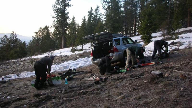
Starting out the day on the Princeton 4WD road.
We started hiking into a perfect spring day. A few miles up the road there`s a switchback that offers the opportunity to climb a gully straight to Tigger`s northeast shoulder. Since the gully was plastered with a nearly perfect skinning surface, we took the bait.
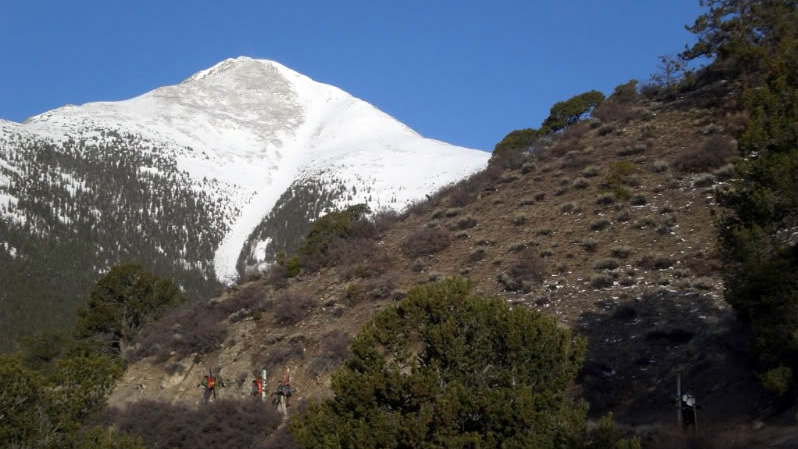
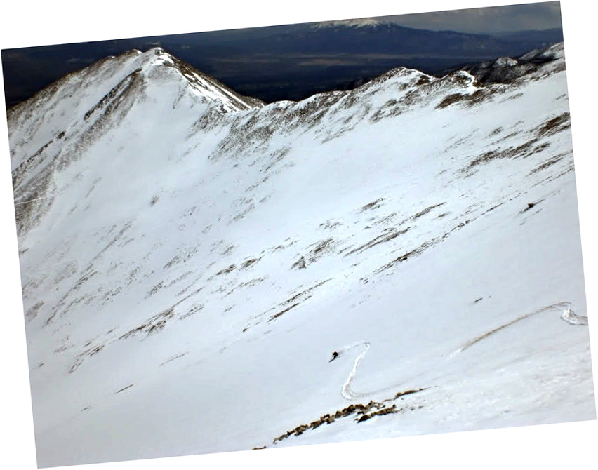
Hiking the road, the gully we used is looker`s right of the prominent gully in this photo.
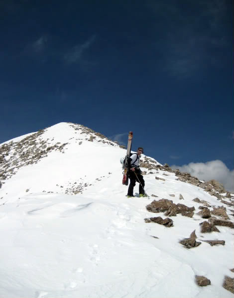
The day was warm already, though we could see spindrift coming off Tigger`s summit so we knew it was breezy up higher. We pushed to the shoulder at 12,000` and switched to booting as we had a long road of talus hopping ahead of us to get to the summit ridge. Negotiating these talus slopes in ski boots is the not-so-fun part of skiing Princeton.
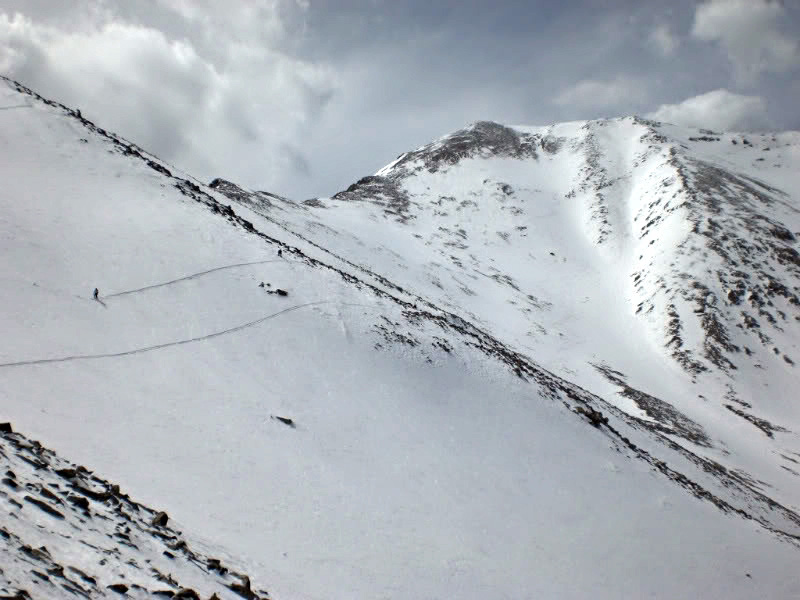
Matt and Mt. Princeton.
We stopped to take a break on the ridge and enjoy the comforts offered by warm temps and low winds.
We started working our way up the final thousand or so feet to the summit. Photo by Matt.
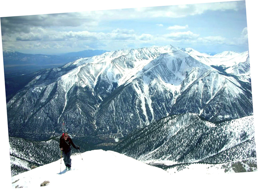
Matt on the ridge with Antero’s North Face behind him. Looks like an interesting ski route.
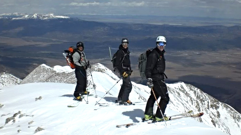
The summit was totally white capped.
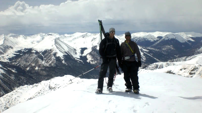
Marc and Carl.
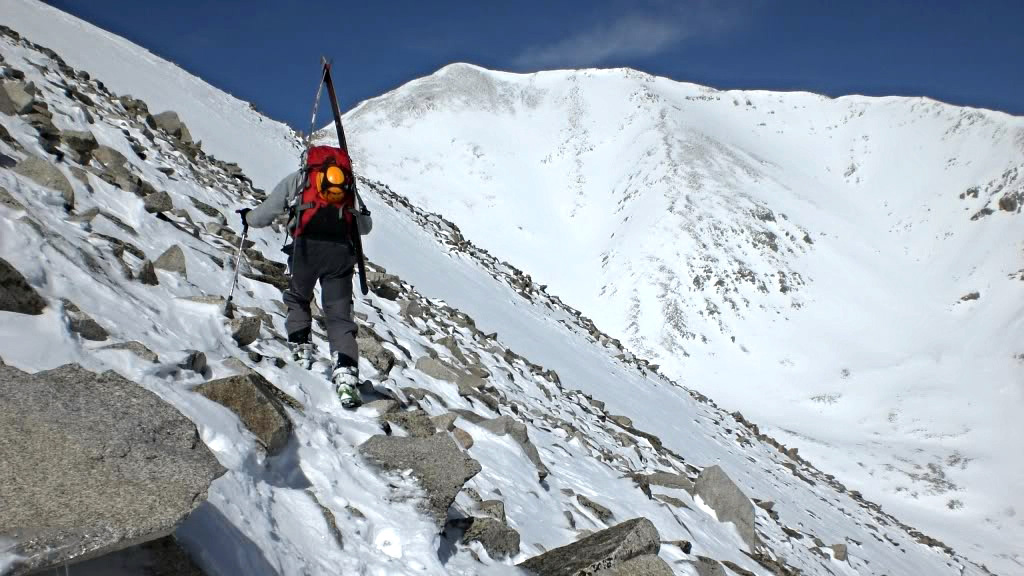
We lounged around a bit and then clicked in for the ski descent. Pretty much the only way to ski Princeton off the top is to head northeast down the ridge line a bit and drop skier`s right into one of the east facing chutes.
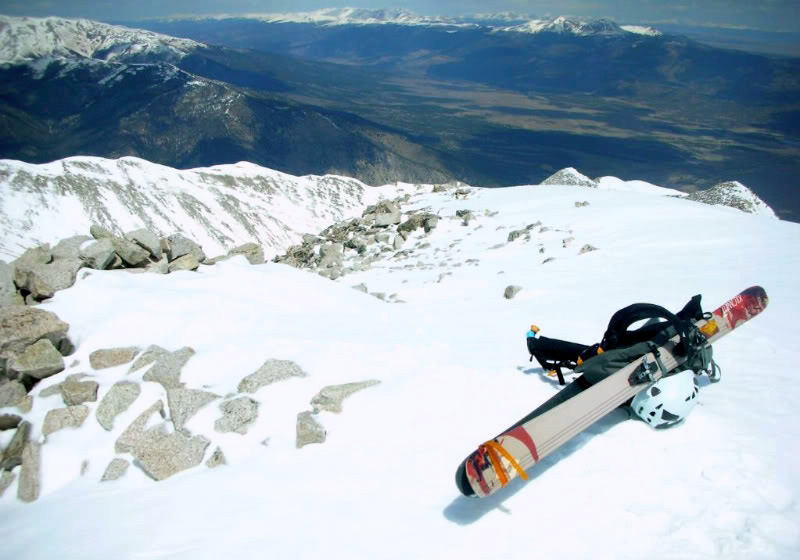
Ready to drop in.
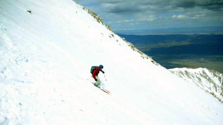
We ended up skiing the two prominent gullies off the ridge. The snow was best described as “tricky”; wet and heavy and alternating between corn and dust affected mush. Now for some ski shots.
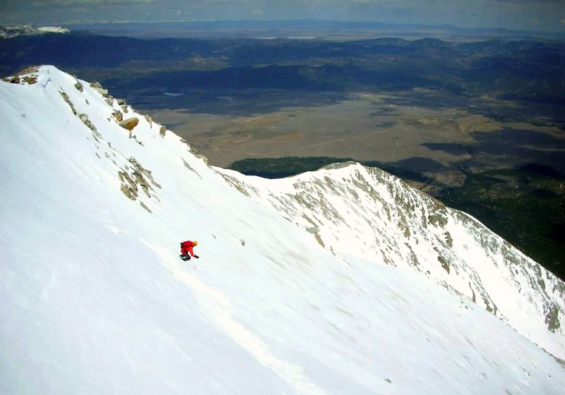
Matt.
Marc.
Chris.
…and myself. Photo by Carl.
We skied to around 12,400` and traversed around the bowl before taking the skis off and booting 400` back up to the summer trail. The skis went on a few times where a dropping traverse was preferable to a posthole fun fest.
Ski traverse back across the standard route.
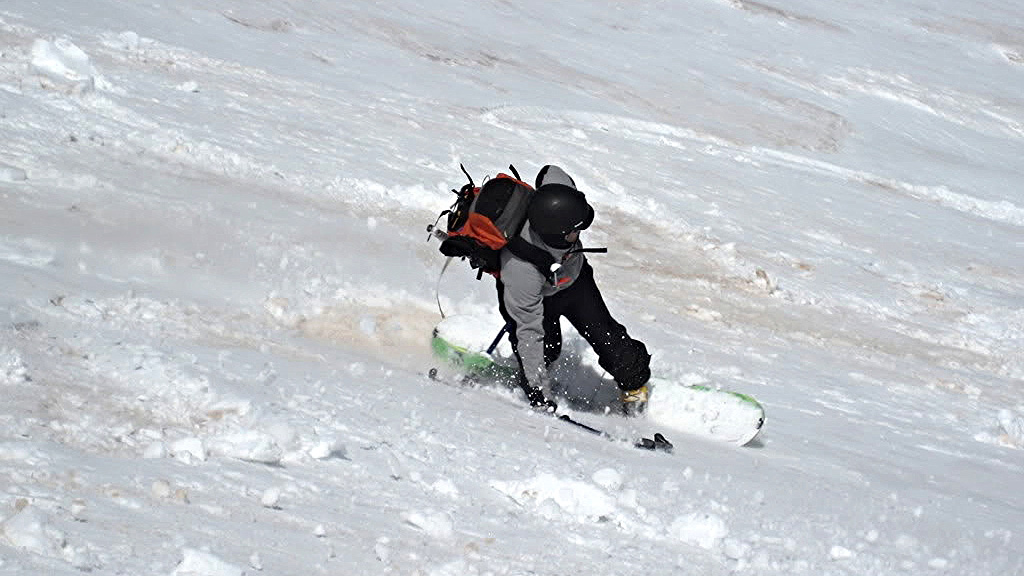
We booted back to the 12,000` shoulder and put the skis back on for another 1,800` of gully skiing on Tigger`s east flank. There were some decent turns to be had in the shade in this gully, though a few of us torpedoed once or twice lower down in the rapidly warming mush.
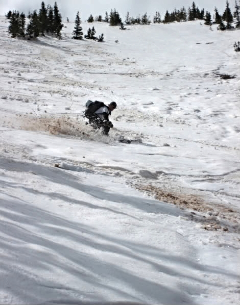
Dirt harvest. Photo by Matt.
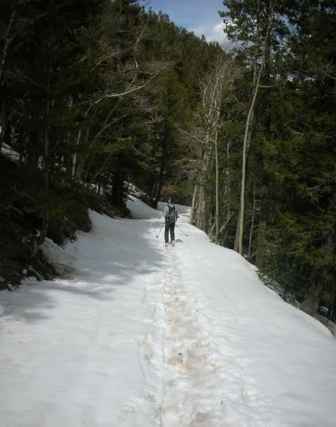
We retrieved our shoes at the road switchback and skied a few hundred yards down the road before finally giving up on the skiing. A few more miles of hiking in the afternoon heat and we were back at the cars enjoying beer and shade. I should mention this was Chris`s first time out in awhile and he enjoyed every second of the trip. Congrats on getting back into it man!
The road held snow for awhile…
…then it was down to hiking through the desert in trail shoes.
Anyone going for Princeton in the near future may want to wait on the road for a week or so, after which it`ll offer up some great skiing without a ton of effort to get to it.
Looking at maps it seems that it would be less traversing if one could ski down in the main fall line into Dry Creek, and then continue down Dry Creek until it intersects the Colorado Trail. Have you considered this?
You could, it’d just be a lot of bushwhacking and that terrain down in that gulch gets tedious. Ultimately I think it’s easier to just climb out and take the road out of there.