We’ve taken a lot of photos over the years, a select few of which have been cropped and randomly cycle at the top of our website. Here are the details about each…

Mt. of the Holy Cross seen from the Notch Mountain shelter in the fall of 2012.

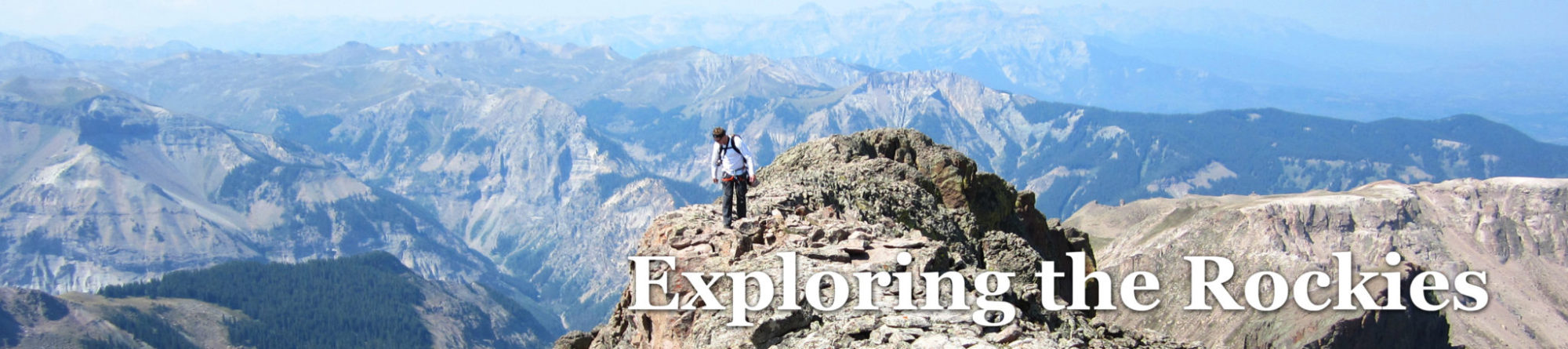
San Juan colors on Pilot Knob seen from Ice Lakes Basin.

Skiing the lower section of Cirque Mountain in Yankee Boy Basin, April, 2013.

Burned trees from the Ox Cart Fire in the Sangre de Cristos, November, 2014.

Longs Peak and part of the Glacier Gorge Traverse, seen from the summit of Taylor in the fall of 2011.

Skinning up the lower-Nisqually Glacier on Mt. Rainier in June of 2012.

Middle Teton seen from the upper-Exum RIdge on the Grand Teton. July, 2010.

Pacific Peak seen from Crystal Peak in the Tenmile Range. Photo by Bill Middlebrook, 2012.

The Wham Ridge on Vestal Peak in 2011.

The Grenadier Range – East Trinity, Storm King, Silex, and Guardian – seen from Trinity Peak in 2011.

Sunlight Peak emerging from the Gloom. Taken from Trinity Peak to the north in 2011. Photo by Sarah Behnke.

The Pigeon Group and others seen from Snowdon Peak’s summit in the spring of 2016.

Skinning into Avalanche Gulch on Mt. Shasta in 2012. Photo by Alex Hudgins.

A waning sun over the Sangre de Cristos. Photo by David Yarian.

Centennial 13er Dallas Peak near Telluride, seen from the east in 2012.

Rock formations near Blue Lakes Pass in Yankee Boy Basin.

A 4×4 road somewhere in the mountains of Colorado. Photo by David Yarian.

“Peak G” seen from the Ripsaw Ridge in 2015.

The Ripsaw Ridge again, this time seen from “Peak G”.

Making turns down the Graupel Gully on “Rain Peak” in the Gore Range in 2014. Photo by Brandon Chalk.

Navajo Peak, Indian Peaks Wilderness, 2014.

Taken from the Lavender Col on Mt. Sneffels – a sea of San Juan peaks.

“Peak L” seen from the summit of “Peak Z” in the Gore Range, 2013.

Jagged Mountain seen from Vallecito’s summit in 2015.

Centennial 13er Horseshoe Mountain on an overcast day. Photo by David Yarian.

The Grenadiers again, looking east from The Guardian’s summit.

The Grenadiers yet again, this time seen from Peak One’s summit.

Glacier gnar in the Vallee Blanche, Chamonix, France.

Gilpin Peak seen from Yankee Boy Basin in 2016.

Independence Monument seen from Rim Rock Drive in 2015.

Wildflowers in Deluge Creek, Gore Range, Colorado. Photo by David Yarian.

Views from Burns Gulch near Silverton, Colorado in 2013.

Craggy peaks seen from the Brevent Ski Lift in Chamonix, France in 2014.

Making turns down the Boxcar Couloir, Mt. Wilson, Colorado.

Mt. Alice seen from Lion Lakes in Rocky Mountain National Park, 2012.

Mt. Alice again, seen on the approach to Bluebird Lake, Rocky Mountain National Park.

The Horcones Valley seen on approach to Aconcagua base camp in 2009.

Skier on the east face of Mt. Adams in the Sangres, May, 2016.

The Truros, seen from Larson Peak in June, 2016.

“El Punto” and Wetterhorn, Middle Cimarrons. July, 2016.

Another shot of “El Punto”.

Climbing “Heisshorn” in the Middle Cimarron, 2016.

Precipice Peak and Dunsanine Mountain in July, 2016.

Ulysses S. Grant Peak and neighbors seen from South Lookout, September, 2016.

The Vermillion Group seen from Pilot Knob in September of 2016.

Aspens seen along the Beaver Lake Trail in September, 2016.