- Peaks:
- Ellingwood Point (14,057′)
- Blanca Peak (14,350′)
- Route: Ellingwood’s Southwest Ridge > Ellingwood-Blanca Traverse > Como Road Hellscape Egress
- Distance: 13.89 Miles
- Vertical Gain: 6,211 feet
- Climbers: Zambo, Brian Lich, Troy Schultz, and Brian Schneider
- Dates: 7/23/23-7/24/23
- Strava Track: https://www.strava.com/activities/9515265069
I felt the urge to write this trip report for two reasons:
- The southwest ridge up Ellingwood is a very cool route. But we don’t really have any documentation of it on the site. So, this felt like a good chance to highlight its many enticing features.
- The Lake Como road is NOT a cool route. And in spite of how much documentation exists in the world about how much it sucks, I still feel the need to remind everyone of what a nightmare that road still is.
As late July rolled around, it was time for our annual ex-coworker 14er get together. Even though we haven’t all worked together for close to a decade, every year four of us still set out to try some harder 14ers. Most of these guys are getting pretty close to finishing their lists, so it’s fun to tag along and help support their goals. And solid company in the wilderness is always worth making an effort to get out with.
We settled on Ellingwood and Blanca for this year’s outing. Normally just the thought of all the effort required to get up to these peaks would have led me to steer us elsewhere, but I was keen to finally check out Ellingwood’s class 3/4 southwest ridge. This was one of those routes that sorta had been in the back on my mind forever, but I never really had a reason to actually go do it. This trip afforded me the long-awaited chance to finally climb it.
And so, after braving lunatic front range traffic from Denver to Pueblo, a round of Hills Have Eyes humanoid encounters in Walsenburg, and psychotic oversized truck loads on La Veta Pass, Brian and I finally turned onto the dusty Lake Como Road from the foot of the San Luis Valley. It had been 10+ years since I had been on it. I was about to remember why.
The road pretty much instantly sucked more that I remembered. We both gave a nervous chuckle as we passed the freshly installed helipad at the bottom. Apparently the sheer volume of people who find themselves in trouble on these peaks necessitate their very own helicopter SAR team. And I’m not joking. Kudos to the hikers who broke it in essentially on the very first day it was finished. A sobering statement about the current state of climbing in Colorado…
Anyway, with that omen fresh in our minds, we bumped, jostled, and grinded our way up to 8,700′ before stashing the Jeeptruck. Driving this road is genuinely not a fun experience. Even on the easy parts. We were just in time to hike in at the very heat of the day.
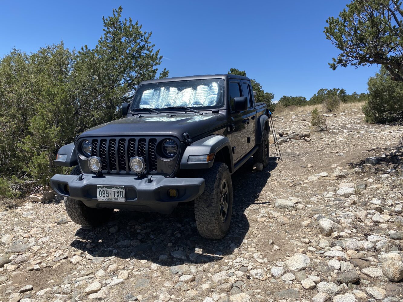
Good job, Jeeptruck. I was floored at how many vehicles were parked well above the usual 8,800′ stopping point. We saw a Jeep Trailhawk almost a thousand feet higher! I mean, kudos, but sheesh. Apparently driving up such a nasty road really comes down to A) Picking excellent lines and B) How little you actually care about your vehicle.
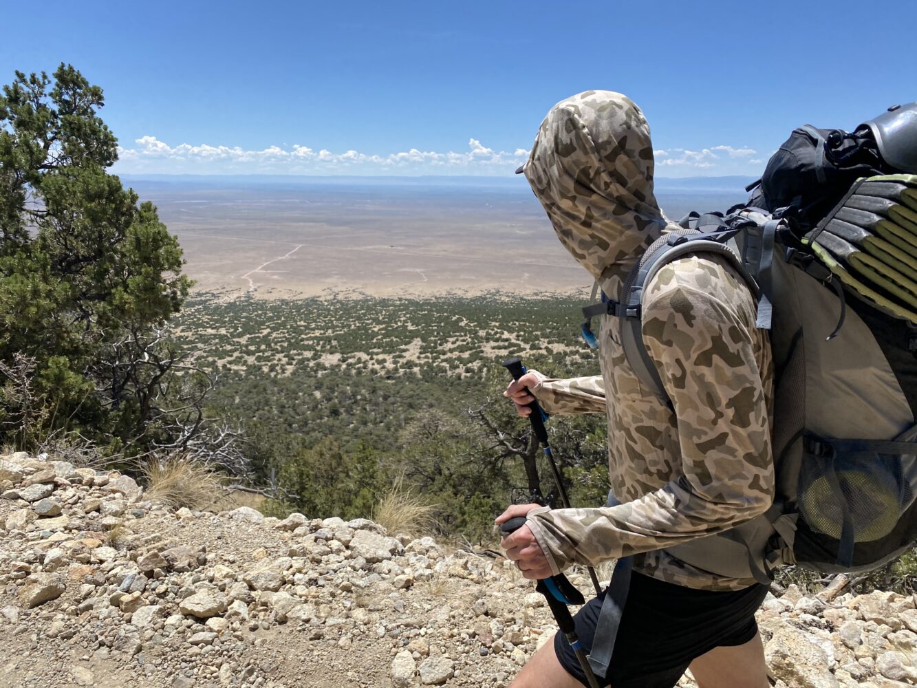
We started right about the apex of the sun, which was a miserable time to hike anything on this day. It was hot. I think the optimism of the climb to come carried us through on the way in. This is something that would most decidedly NOT happen on the egress.
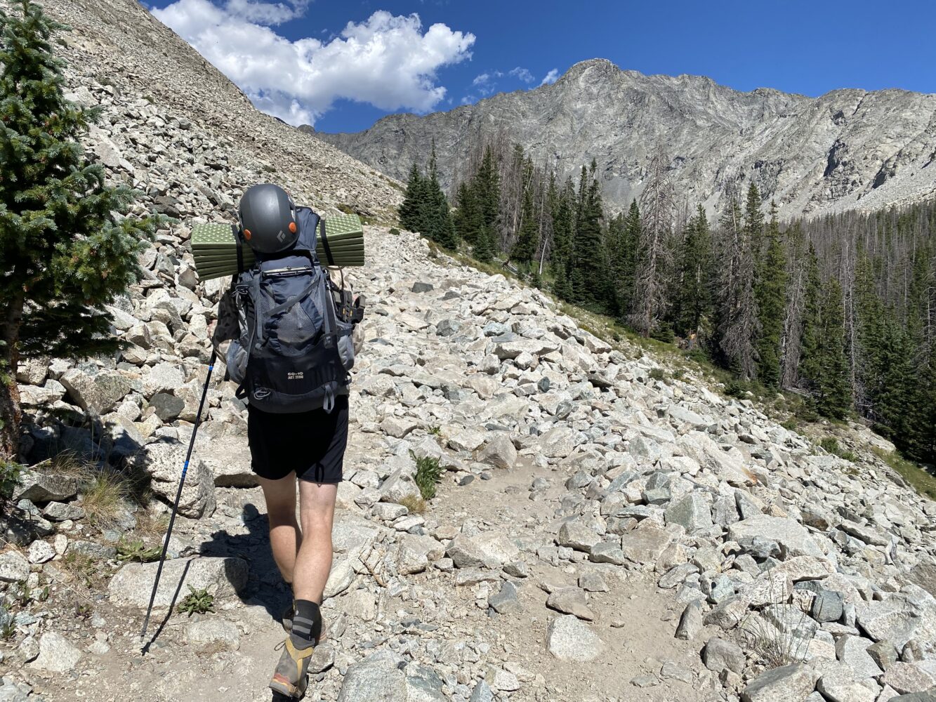
As expected, we were happy to make it up to the lake. Splitting this effort into two days certainly saved some headaches. Although, I was pretty bummed to see all the beetle kill up around Lake Como. Unfortunately, that’s another thing that’s all to common these days with Colorado climbing.
We rendezvoused with the other guys (who had wisely hiked in earlier that morning) before settling into camp for an early bedtime. As expected, the flies and mosquitos were quite horrendous this time of year. So, we were all content to take the old man approach and retire before the sun was fully down. And continuing with the old man theme, we were up and atom before dawn the next day, excited to hit a new set of peaks and routes for everyone.
BELOW: Still a pretty great spot for a night out. (Video by Brian)
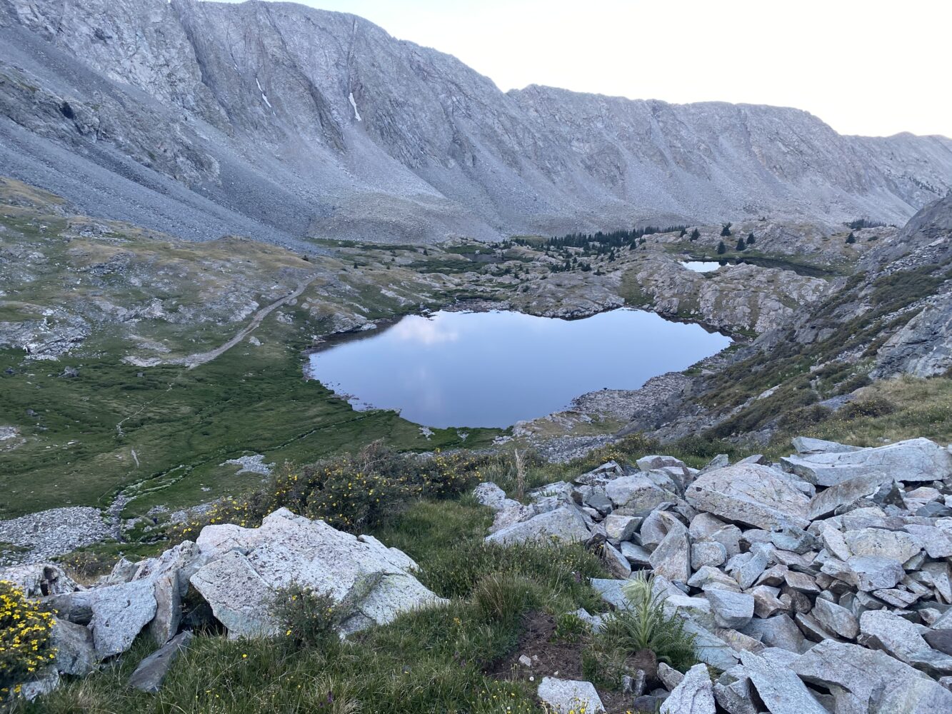
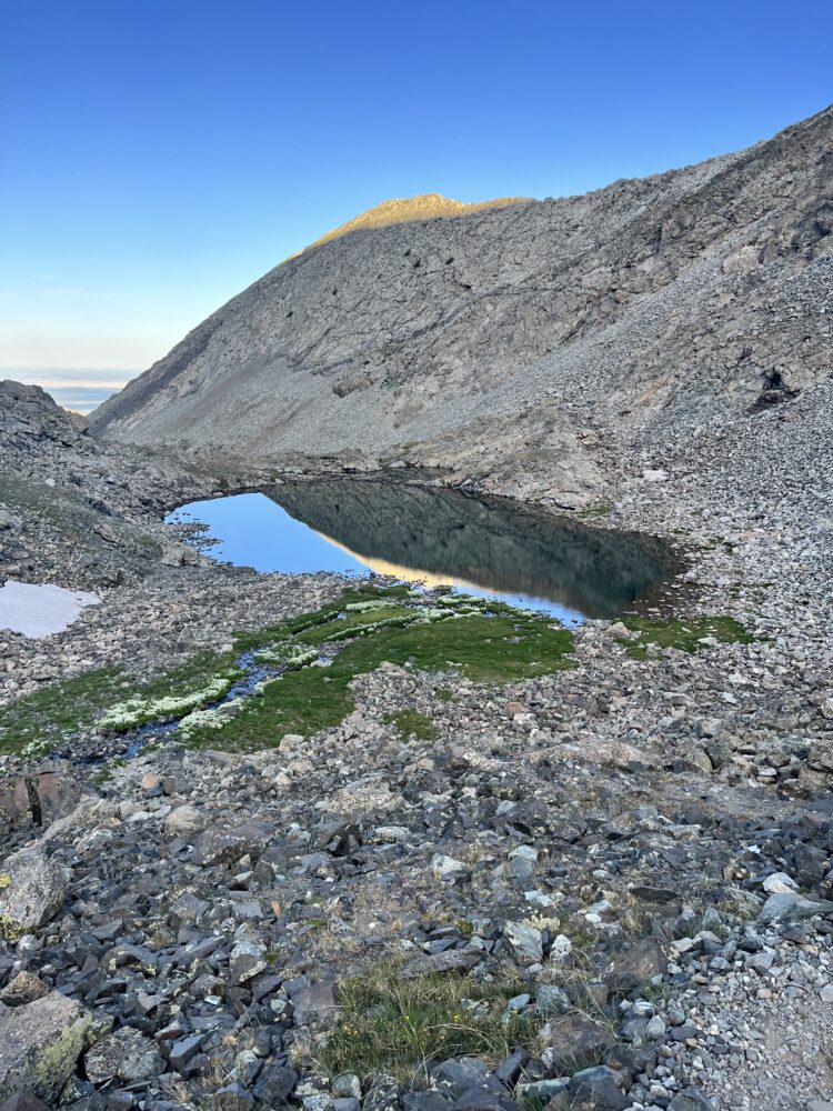
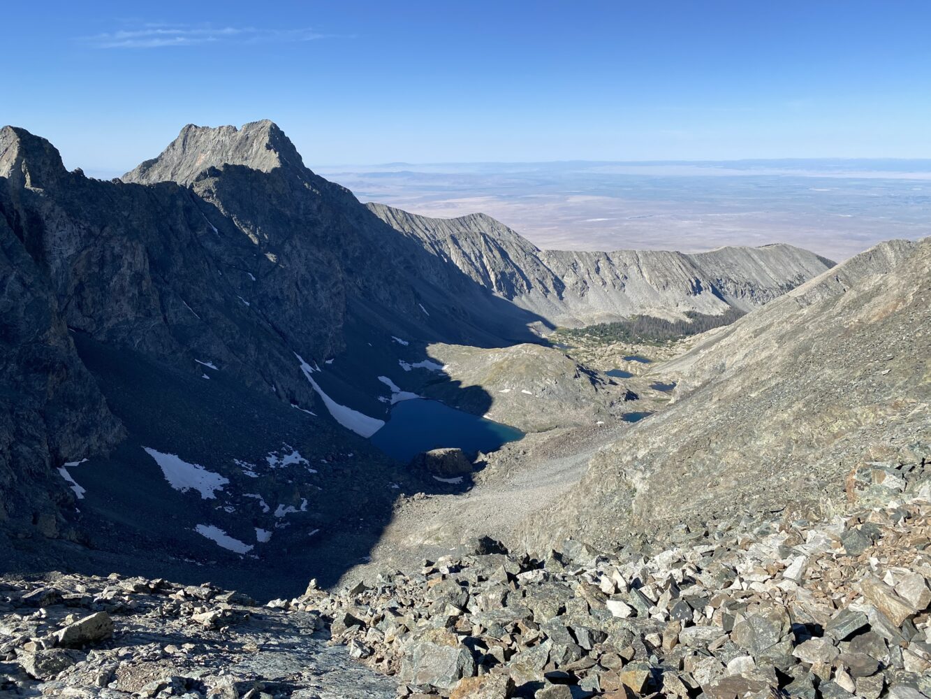
A beautiful, quiet morning above Blue Lakes. We had passed about two dozen parties exiting during the inbound hike the day prior. Suffice it to say, Monday’s are still the way to go when climbing anything above 14k in Colorado.
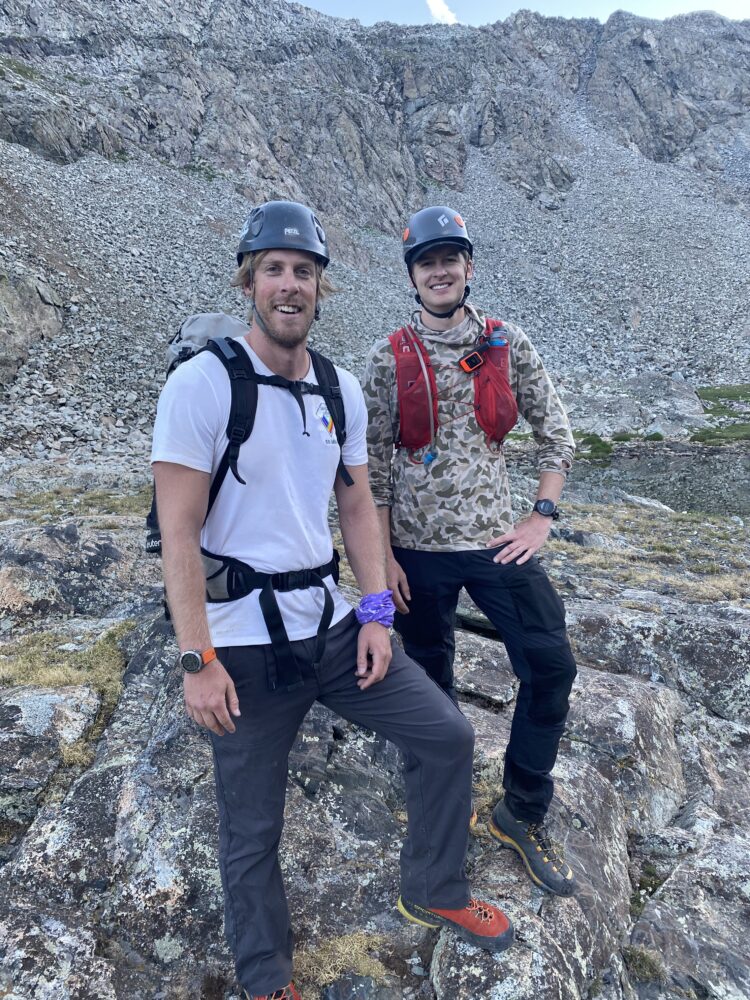
Brian S. and Troy decided to head up the standard routes for the day. Our plan was to meet at the summit of Ellingwood. That left Brian L. and I to head for the southwest ridge ourselves. First step: tackle that nasty talus couloir in the background. (Photo by Troy)
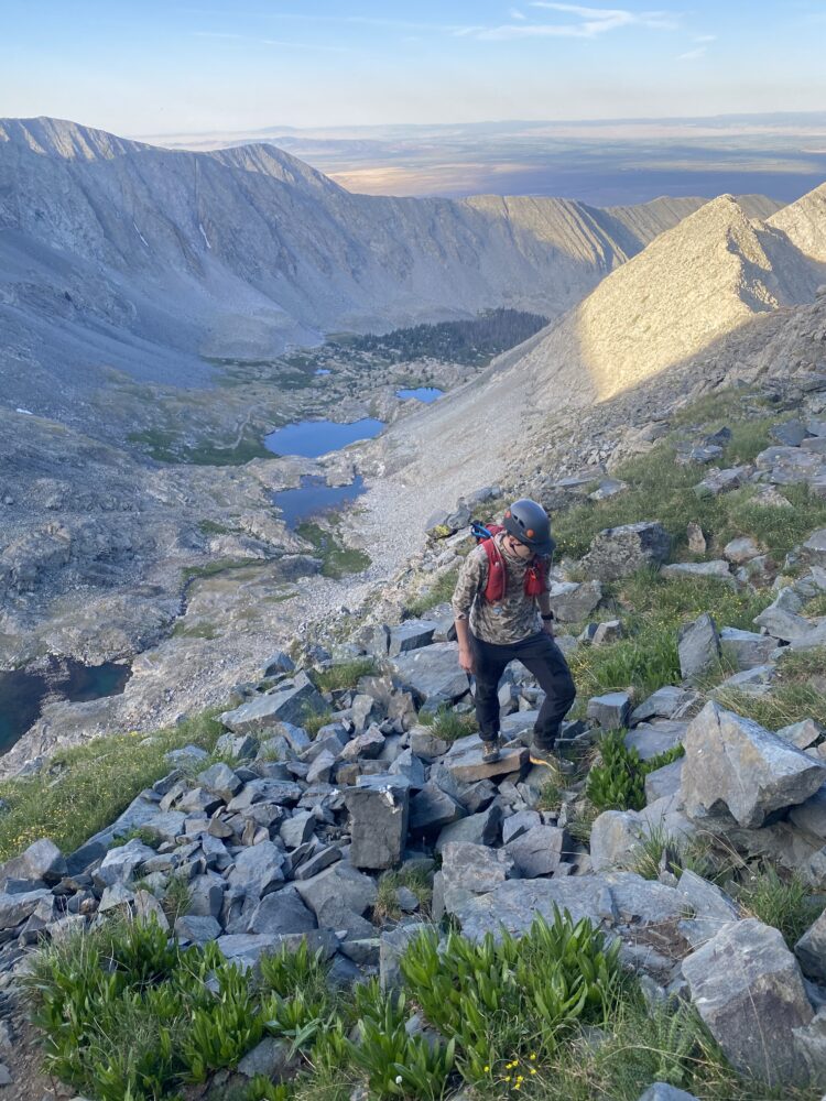
BELOW: Brian giving a nice overview of the route to come. That talus field wasn’t quite as heinous as it appeared. Up high, we were able to find somewhat reasonably firm rocks along the rightmost wall of the couloir. At times we simply climbed the wall thanks to the much more solid rock.
I won’t provide too much in terms of a hyper-detailed route description. As usual, Bill Middlebrook’s (more on him in a moment), write up of the route proved to be perfectly on-point. I essentially just checked in with his details at every major junction. Easy enough to follow.
I wouldn’t really call the route finding ‘tricky’ on this one. But there were a few key moments to pay close attention:
- Gain the correct gully and exit at the top correctly (on the right).
- Get over the initial headwall (really not that complicated).
- Mostly then follow the ridge proper the whole time (almost always class 3, albeit with pretty significant exposure in some places).
Tough to get too turned around if you generally follow those steps + the specifics outlined in Bill’s write up.
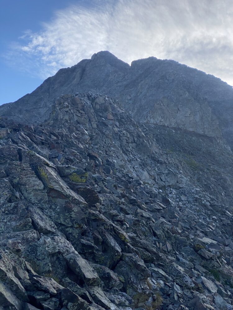
Finally at the top of the loose talus gully that is the key to gaining the ridge. Now looking onwards to towards the full route to come.
BELOW: Brian again with the video overview.
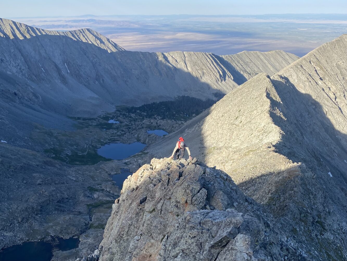
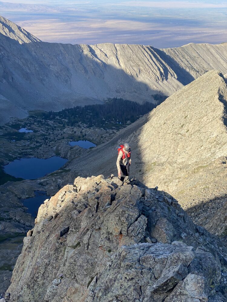
With the loose gully behind us, we were now free to enjoy the ridge. We found it to be wonderfully fun scrambling. This ridge is long, interesting, and has a lot of sustained class 3 moves. As much as almost any other route out there. The exposure was quite big in some places. But it was rarely sustained and almost always pretty easily avoidable.
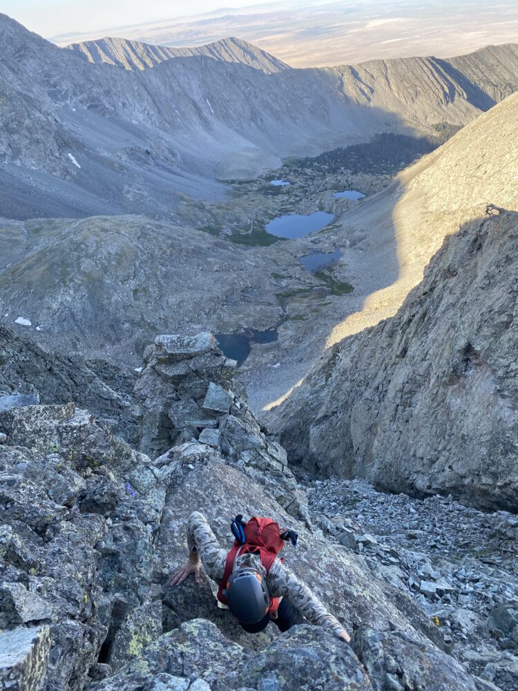
With plenty of spicy moves along the way to keep it fun. For the confident, experienced scrambler, I think this route is a must do. It almost all goes class 3 with the occasional, maybe class 4 move along the way. But the path of least resistance was almost always easy to follow and navigate.
BELOW: Some typical climbing on the lower portions of the route. While it may be ‘only class 3’, this was by far the spiciest route I’ve ever done at the grade. Good times!
At a few points along the ridge things became somewhat ‘knifey’ with solid exposure on each side. But certainly far, far more relaxed than the counterpart Little Bear-Blanca connecting ridge across the way.
BELOW: Brian crosses a few of the aforementioned ‘knife edges’.
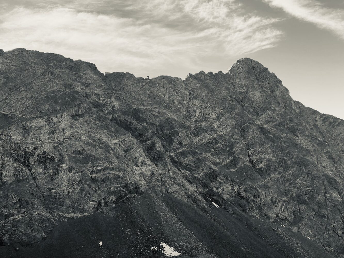
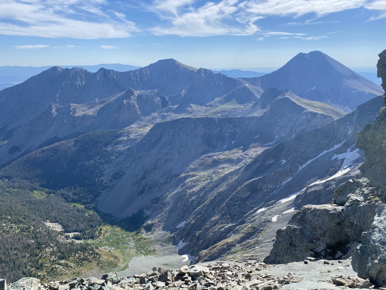
All the while we were climbing, the ‘big brother’ Little Bear-Blanca traverse loomed. Such an awe-inspiring route, that one.
The thing that surprised me the most on our route was how long it was. It was a bit deceptive while on the ridge itself, but later when we summit Blanca we could really see just how stretched out it was. We moved at a pretty mild pace, but it still was a very sustained, lengthy time on the ridge. That not only made it a lot of fun, but also, it certainly would make this an unpleasant place to be in a storm.
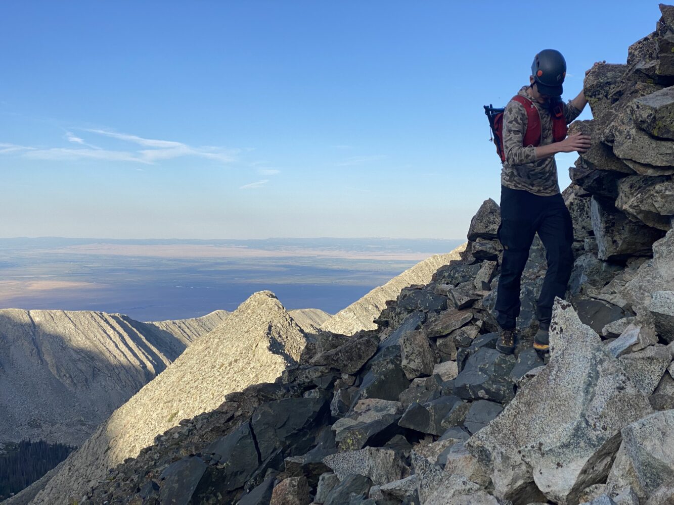
BELOW: More typical climbing from higher along the way.
By the time we reached final obstacles we had grown somewhat tired of trying to follow the route too religiously. At some point we basically just stuck to the ridge in a straight shot to the summit. Solid rock and forgiving climbing made it a lot of fun.
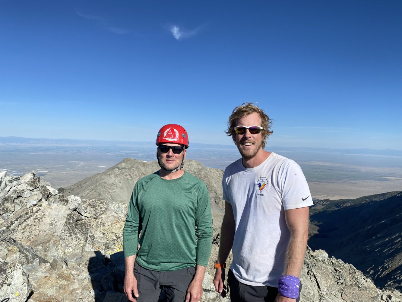
By the time we topped out we felt very pleased with the whole thing. The weather was fabulous (albeit very warm already), the ridge had been great, and we had the peak all to ourselves except for one other solo climber. After a few seconds of chatting I recognized that it was none other that Bill Middlebrook himself. It was good to finally bump into him on a peak after all these years. Obviously because of his prodigious work with 14ers.com (for which we can never say thank you enough), but even more so because he and I actually have a ton of common friends at this point. It was great getting to chat with him for a bit and to finally meet in person.
Bill was climbing that day to take some updated pictures for the standard route on Ellingwood (go figure). He remarked, “I needed better photos of the Ellingwood turn off. It’s easy to miss.”
Not one minute later we got a text from Troy, “We made a wrong turn to Blanca. Stupid. Going up now if you guys want to traverse over.” We all got a nice little chuckle out of that one. It seems Bill’s efforts that day were well timed indeed.
With that message in hand, Brian and I quickly packed up and headed over to our second summit of the day.
Relative to the southwest ridge, the Ellingwood-Blanca traverse seemed pretty straightforward. There were a few cool moments to be had, but careful route finding and well-trundled benches made for a quick and easy passage.
The route up Blanca’s face, on the other hand, proved to be much more of a wind suck than I remembered. That extra 300 feet of elevation really took it out of us. We were panting and gasping, quite ready to be done with it all by the time we finally topped out and met back up with Brian S. and Troy.
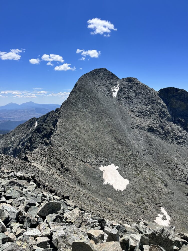
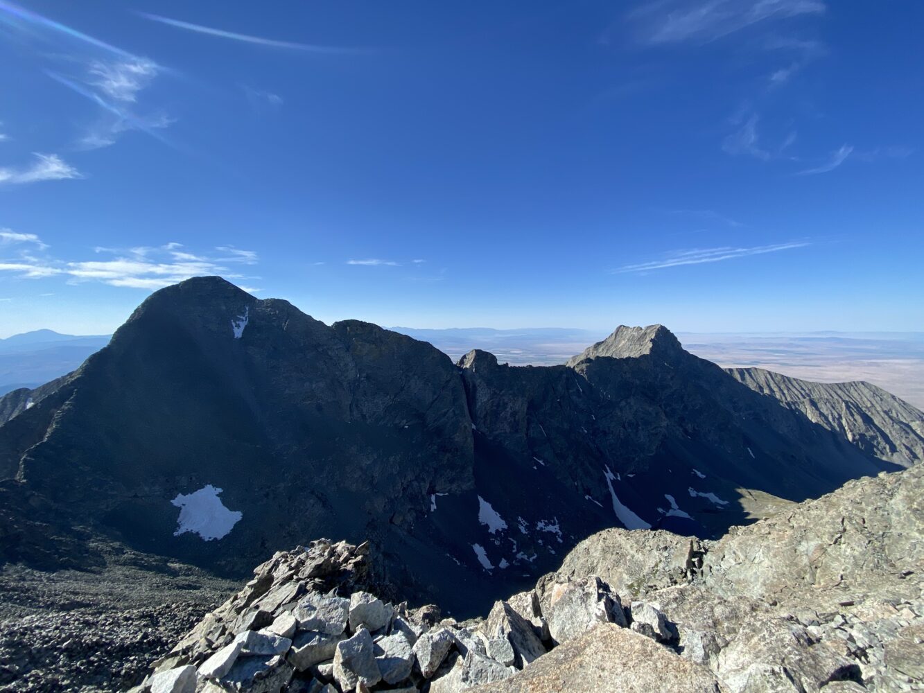
Blanca’s a lot taller than I remembered. But then again, I seemed to misremember a lot about this area. (Photo by Troy)
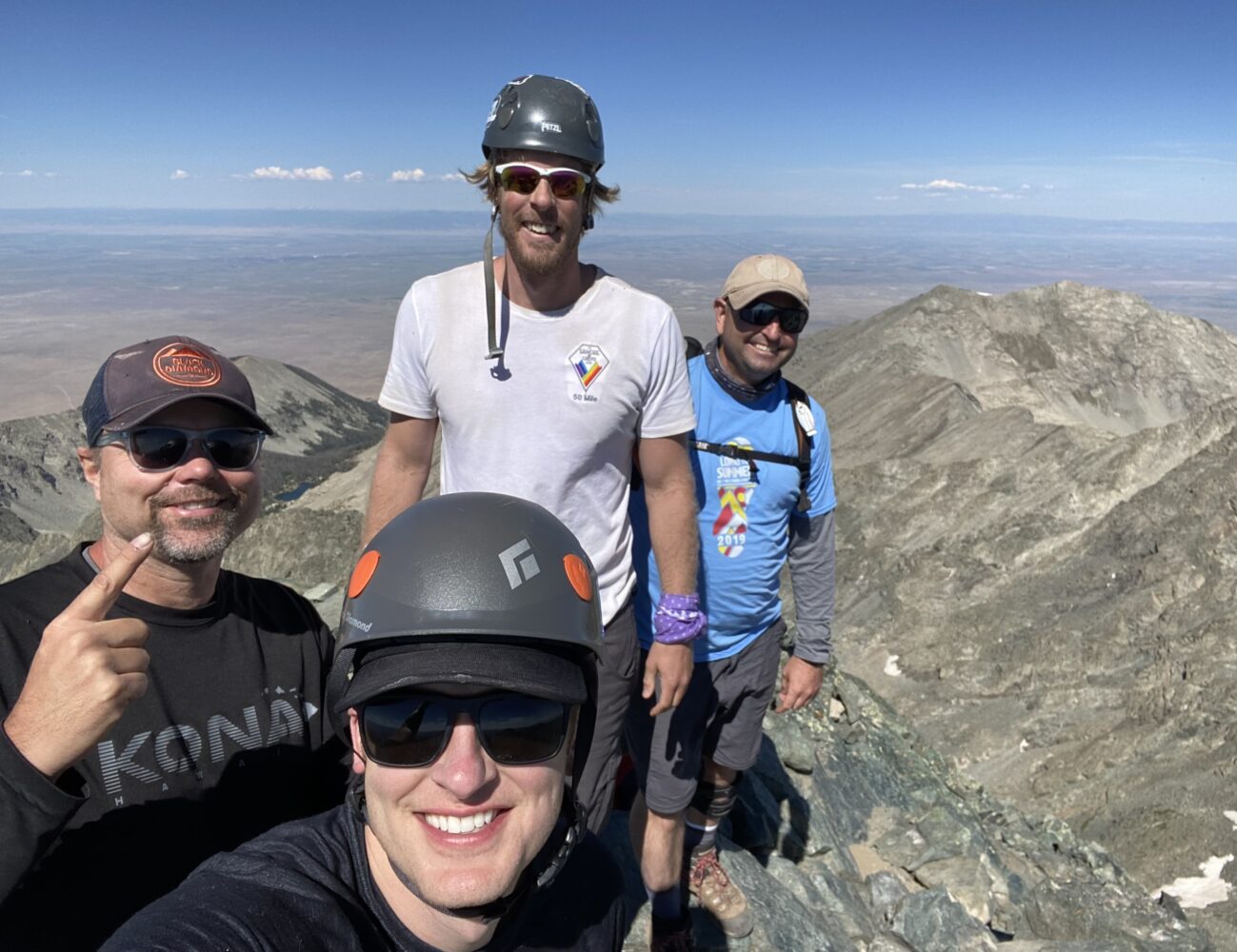
Finally met back up with Brian S. and Troy. Congrats to all the fellas for their new summit. Getting closer and closer to that magic #58, eh? (Photo by Brian)
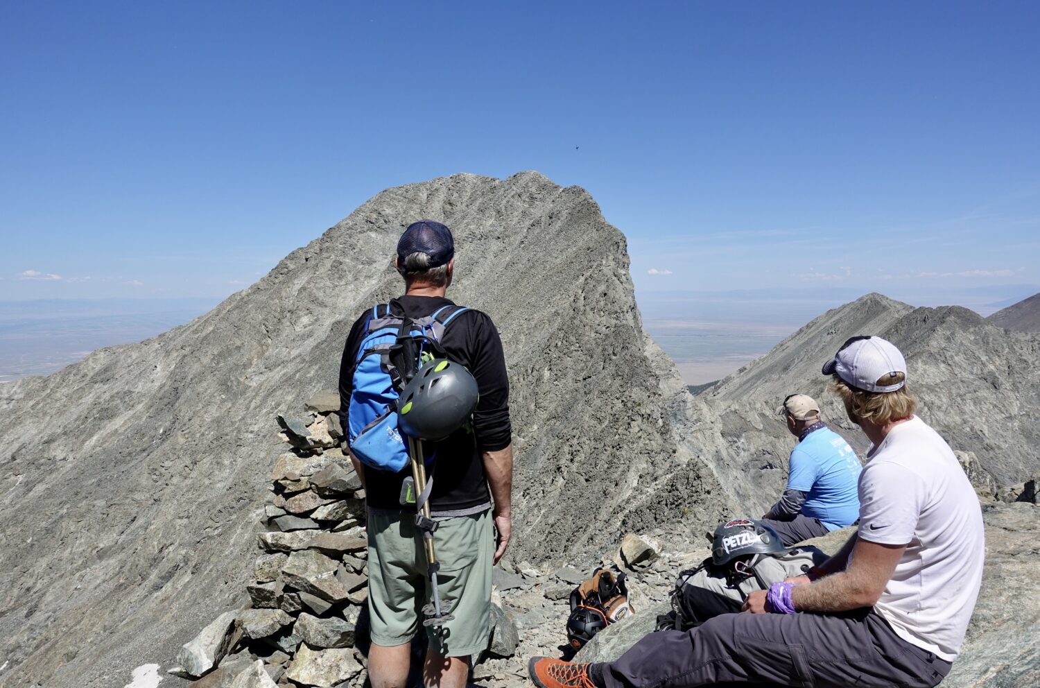
Looking back towards Ellingwood. Troy and Brian S. had some good adventures of their own on the traverse, eventually successfully completing both peaks in the day. Nice work, fellas. (Photo by Brian)
We were able to descend together back to the saddle, at which point we said farewell to Brian S. and Troy. Brian and I boogied back to camp to try to get home ASAP. We quickly packed up and were on our way. What ensued next was probably a top 3 all-time miserable mountain descents.
I’ll spare all the details, but our hike out was essentially a miserable combination of excessive heat (it was ridiculous in the valley), biting flies, and relentless sun on the shade-less road.
We had once again found ourselves hiking in the heat of the day. I couldn’t help but notice the big fluffy clouds almost everywhere else in the surrounding horizon. But our little heatlocker of a drainage was as sun-baked as it probably ever gets.
Brian and I were both close to full on nerd-raging and hallucinations by the bitter end. Top borderline moments of insanity included:
- When three very cheerful, very attractive young females on their way up gleefully asked Brian how he was doing, all he could manage was a brisk, grumpy, old-man worthy “Fucking hot!” response in return.
- At one point I started muttering aimlessly to myself and felt like a complete emotional breakdown was on the way, with maybe some mild hallucinations on the side. It was in this moment that I realized a few minutes in the shade and bit more water were in order. Heat exhaustion will really fry ya.
- Apparently I looked as beaten up as I felt. So much so that a very nice guy in a passing Tacoma offered to drive me out the last little bit. I was extremely grateful, but I still declined. “I’m not going to let this goddamn road beat me” I hollered. He laughed and bounced merrily along his way. But my secret was that, I literally only had .15 miles to go, otherwise I’m sure I would have not been nearly as brave.
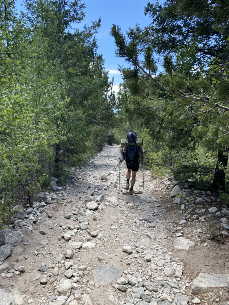
The one semi-nice spot on the whole descent. The Lake Como Road trees are magic though, actually. They don’t cast a shadow regardless of the time of day.
By the time we reached our journey’s end we couldn’t even relax. It took only a few minutes in the shade before the flies found us. All we could do was slug down a full Gatorade or two and pile back into the Jeeptruck. It was time to swap one ass-pounding for another as we endured a miserable, windows-down bumpy ride all the way back to the valley floor and the helipad at the end of the road.
However, in spite of all my complaining, in retrospect the trip was a huge success. It was fantastic to hang with this crew, as always. Everyone safely achieved their objectives, which is what really matters. And Brian and I crushed a brand new ridge. Huge kudos are in order to him for doing so well on this one, especially since its about as intense of a route as he’s ever done. Kudos!
Well, there you have it. Hopefully this trip report achieved some semblance of it’s goals to highlight the southwest ridge’s awesomeness and to successfully complain about the misery of the Lake Como Road. I’m pretty sure I’ll never climb that thing again (certainly not in summer), but I think I said that last time. Maybe if I wait another 10 years it would be acceptible to try it again. Maybe.
Thanks for reading if you did. Happy climbing!

LOVE IT! The SW ridge is one of the best 14er routes out there in my opinion – one of the rare ones I’ve done twice. I haven’t looked at Bill’s directions for gaining it, but does it involve accessing the right-trending ramp in the far right view of your first video? That was what I aimed for, from a small pond, back in 2006 from Roach’s description, and it worked well.. That day was nuts too, because I was in the clouds the whole way, so I really had little choice but to stay ridge proper all along, due to visibility. From both my trips up, only notable deviation needed from the top is for the notch where the south-facing couloir hits the ridge. Great day, Zambo! And the Como road sucks – the crux of any trip up and back is possibly breaking an ankle descending that cantaloupe-choked road. Another great scramble up Ellingwood Pt that avoids the road would be to hit the north ridge, over 13660, But only if doing it by itself.
Nice, Steve! I’m glad to see another southwest ridge enthusiast! I actually thought about you while writing this report. I found your old tour-de-sangres report with Hamilton that goes right around this ridge. That North ridge looks sweet. There really are endless ridge running possibilities in the Sangres, aren’t there?
You are right on about the entrance gully. Follow it up and then turn right. The rest is just knifey bliss.
Thanks for reading and commenting. Man, we’re SO overdue for an outing together. We gotta make it happen someday soon.
SW Ridge on Ellingwood is such a classic. I did it in May many many many moons ago and have vivid memories. All your sentiments on 4wd’ing Como Road, its exposure and its overall shittiness. I remember when I had my Xterra, even with solid tires and clearance, I remember getting maybe 100 yards beyond the lower parking area, getting a migraine from the teeth chattering terrain, said a very definitive “fuck this” and parked and walked basically the entire road. I have seen a stock 4runner at the lake before. I had to do a quadruple take.
It definitely feels like an underrated classic, that’s for sure. I thought about you too on this climb, actually. I was reminded of Peak L in the Gores. This ridge seemed to have a similar feel to me (ish). At the very least, it’s hard to find many other peaks than those two with such sustained scrambling.
re: The stock 4runner, I’m not saying you’re a liar, but I’m not saying I believe you either. Wow…