- Climbers: Solo
- Peak: Búrfell, Þingvellir, 1,759 feet (1,122′ prominence)
- Route: South slopes and summit circuit via sheep paths, alpine bogs, and rolling ridges.
- Distance: ~5 miles
- Vertical Gain: ~1,500 feet
- Date Climbed: Friday, August 30, 2019
AUTHOR’S NOTE: As I sit to write this trip report, the Coronavirus is in full-swing throughout the world. As a result, pretty much all forms of travel, recreation, shopping, and generally doing just about anything are not allowed. So, with little else to do, I figured what better time to finally document this climb from 7+ months ago? This is especially true when I think about my reflections from this particular summit.
A Green Walk on the Sky – Mt. Búrfell, Þingvellir, Iceland
In late August 2019, my family and I began our autumn European sojourn. Our first destination was Iceland. This was a much anticipated stop as Iceland is one of the best places we’ve ever been. Add in the chance to spend time with Thor, Freyja, Thoranna, and the rest of our dear Icelandic family, and well, this was a week we were very much looking forward to.
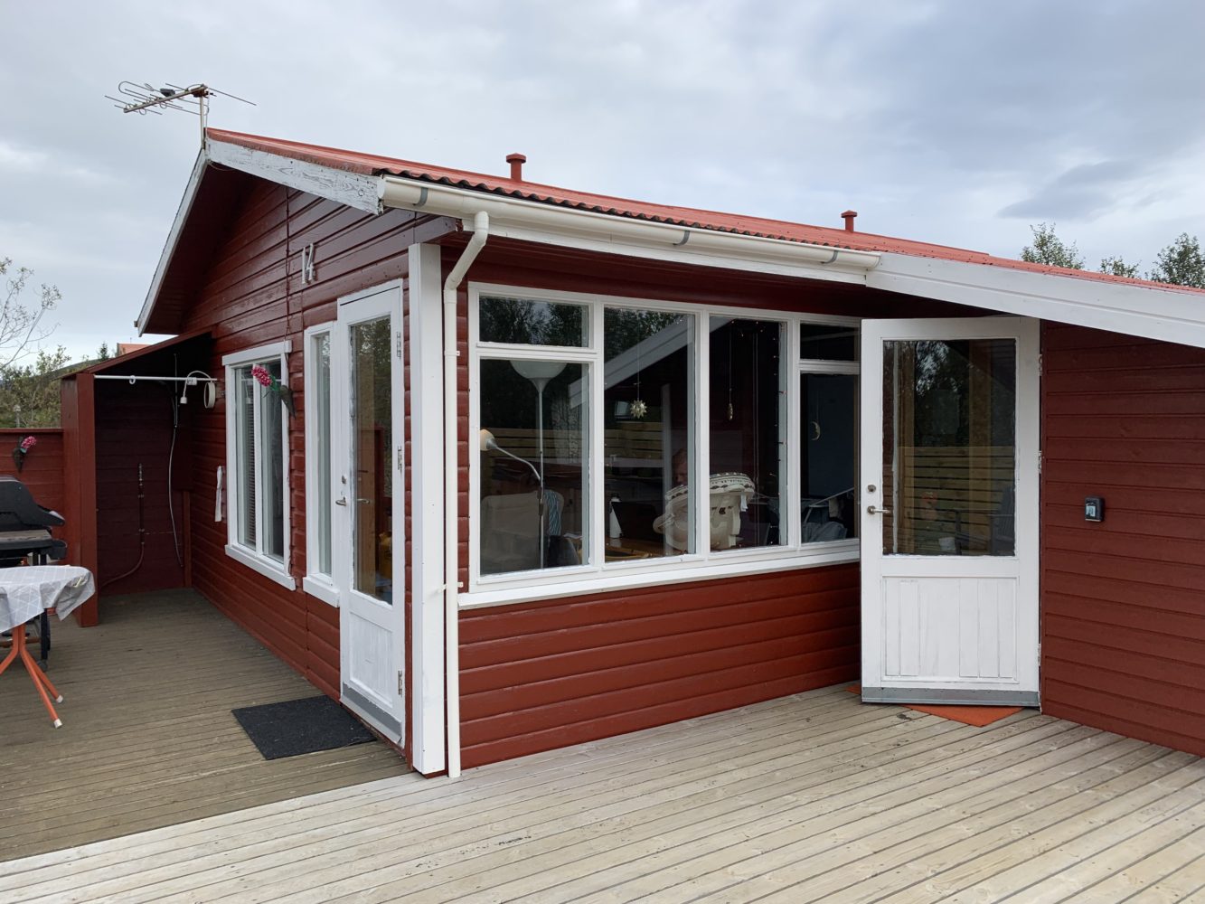
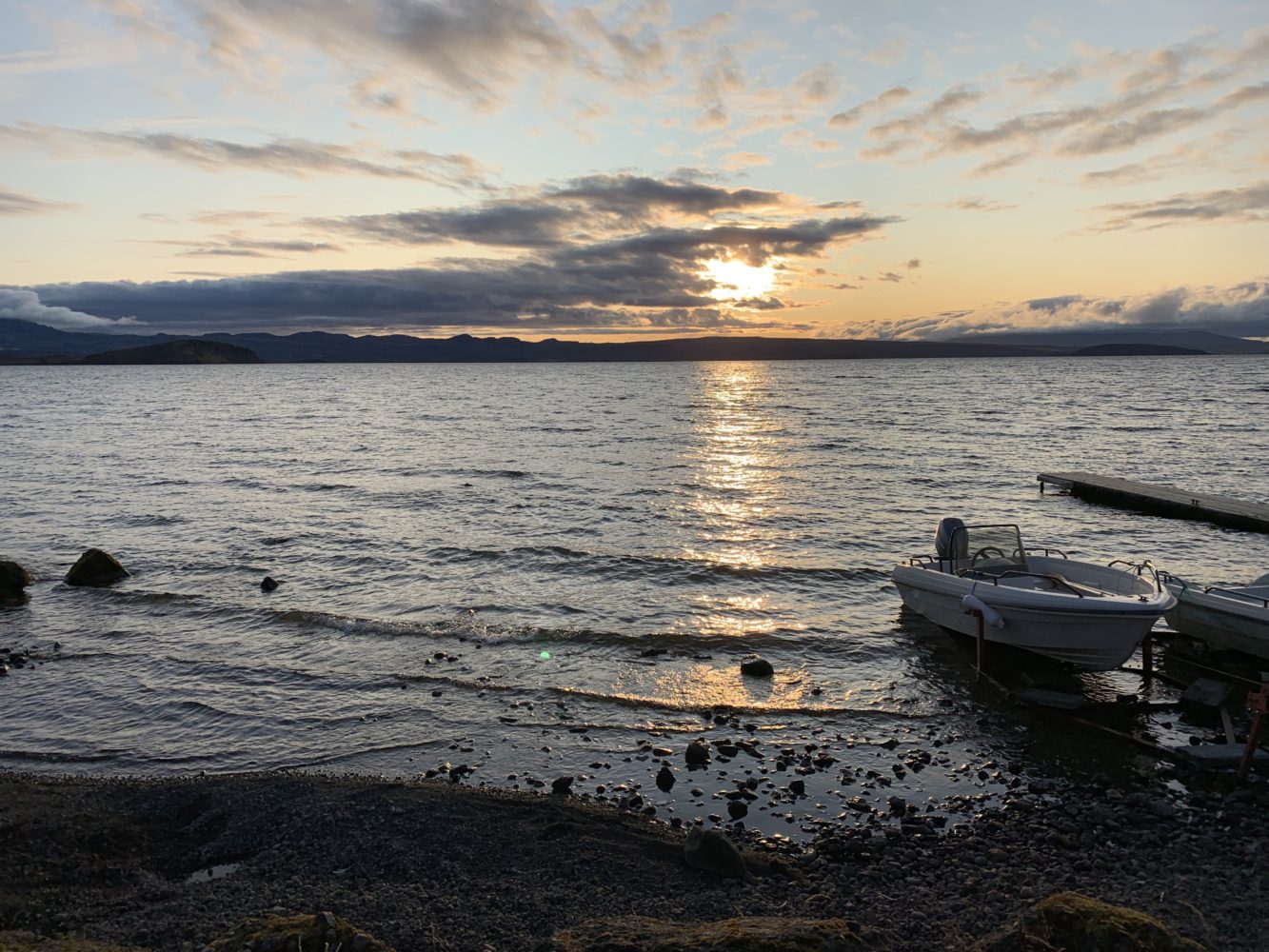
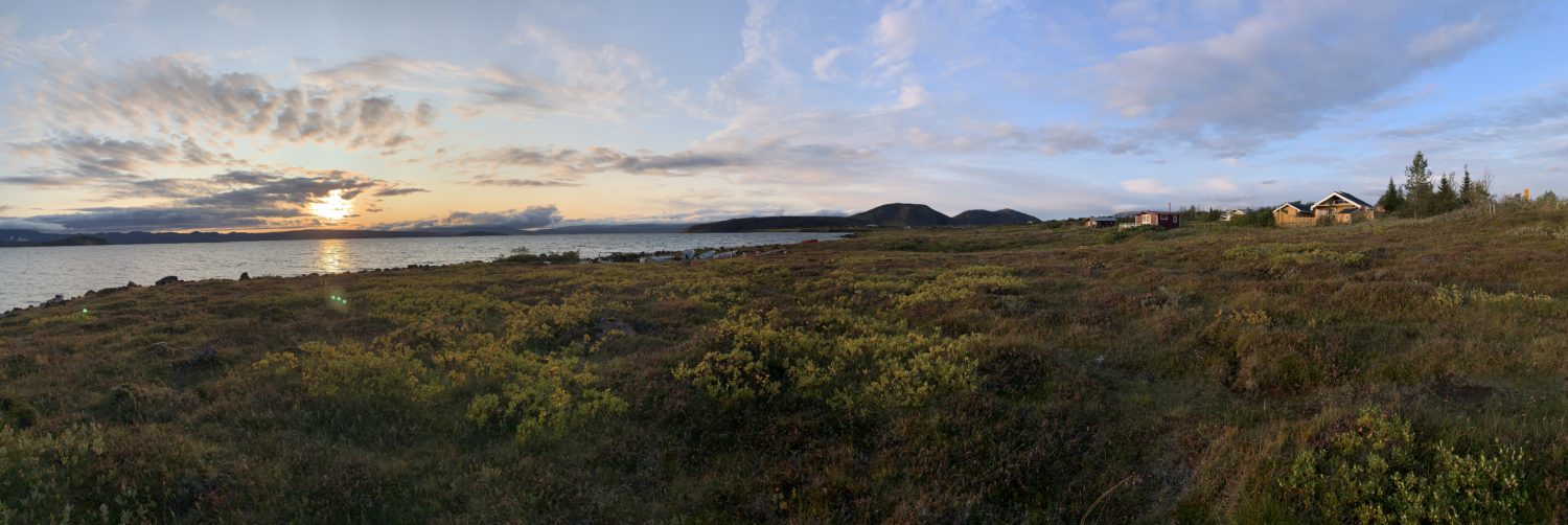
In past trips to Iceland, we have spent all our time circumnavigating the country via the famous Ring Road. That trip is worth every penny. But for this one, we decided to stay a bit more rooted to the southern coast, doing day trips all from one spot. Katie found an incredible little cabin just outside of one of Iceland’s most well known national parks – Þingvellir (aka: Thingvellir). Situated on the edge of the park on the shores of Iceland’s largest lake – Þingvallavatn – we could’t have asked for a better home base.
We spent each day taking wonderful adventures with our family: volcanoes, glaciers, lakes, hikes, horses, and wide open spaces as far as the eye can see. Iceland offers a breath of the wild like few other places. Suffice it to say, we were, and still are, very much smitten with this place.
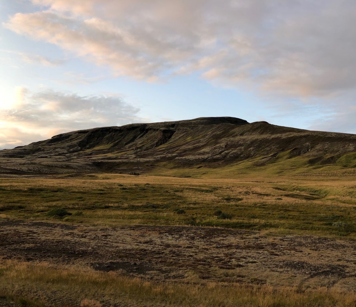
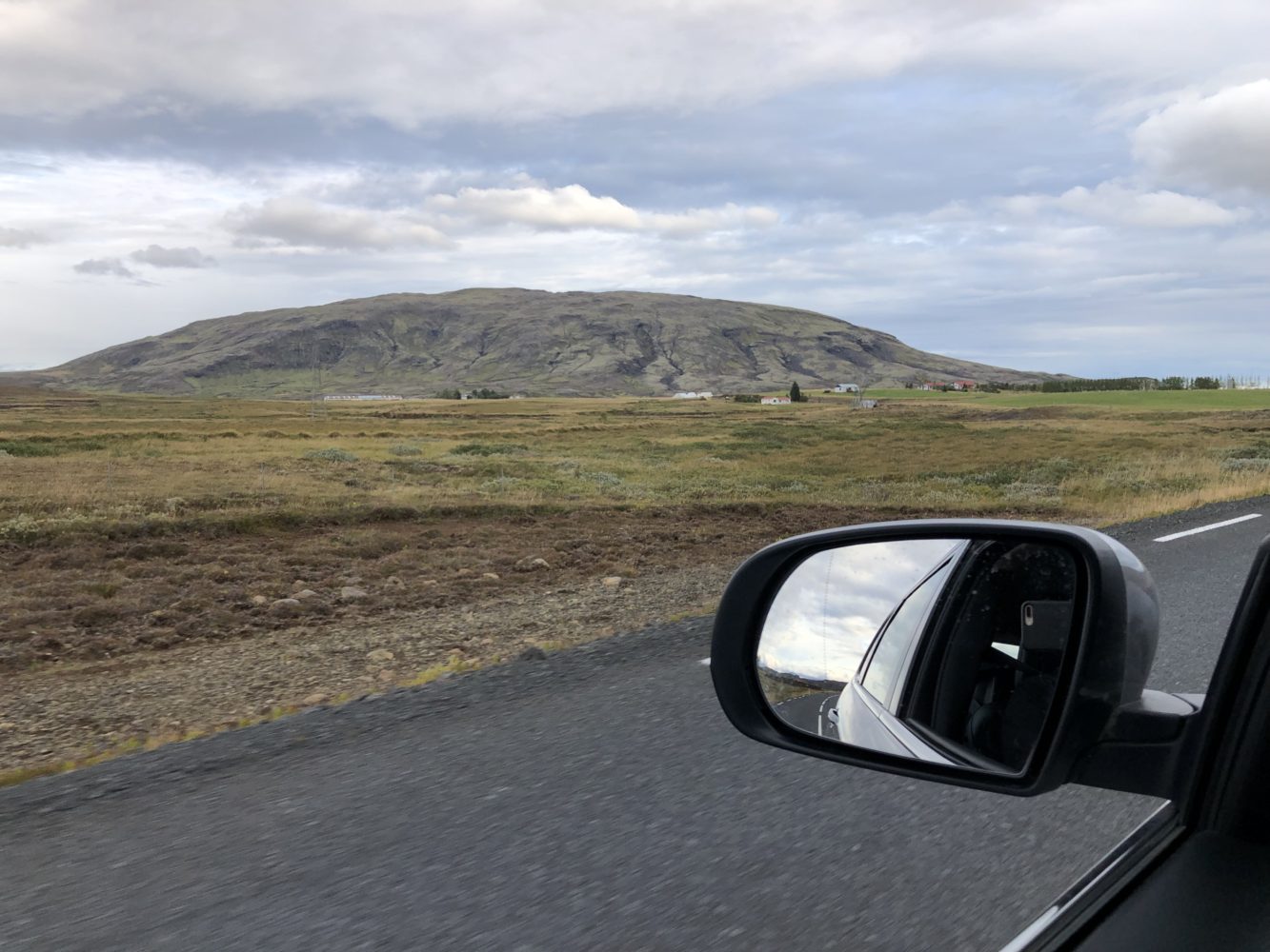
Anyway, as we drove to and from our cabin each day (doing anything worth doing in Iceland usually takes quite a bit of driving), I kept noticing a somewhat nondescript peak just off the roadside a few miles from our gate. It was a long, lofty, sloping mountain, perched in the midst of an otherwise flat plain. High peaks are all around in this part of the country, but usually at a far distance. The way that this hulking green mound of a mountain sat so much all to itself set a noteworthy scene.
Naturally, the desire to climb it only grew each time we drove by. The trick would be how.
Although it looked straightforward enough from the road, I still spent a few days searching the internet for any sort of beta. As it turns out, there are several mountains in Iceland named ‘Burfell’ and this one seemed to be the least noteworthy of the bunch. Aside from a few low quality pictures on Google images, there seems to be almost no beta online (in English, anyway), about this particular mountain.
How wonderful.
That’s exactly the sort of thing that makes Iceland so special, in my opinion. Although things are certainly explored here, they feel far from being truly known. Simply put, there is an elusive, almost mystical quality about the landscapes and natural world in Iceland. One marvelous scene gives way to another, in an almost endless procession of beauty and special sights. A friend once described Iceland as “heartachingly beautiful” and he could not have been more right.
Which brings us back to Mount Burfell.
The fact that a huge peak right next to the country’s most visited national park can go more or less unheralded is pure Iceland. It simply exists, just as the people who live about it do. Deeply appreciated by them, I’m sure, but unspoiled and unknown to the rest of the world. It is for this reason that I felt such a draw to get on top of this mountain. A green stairway onto the Icelandic sky.
After several days of online scouring, I finally found (sort of) what I was looking for in terms of information: a somewhat obscure world topo map showed a looping trail ascending the mountain directly from the south. A quick Google Earth investigation showed a dirt farm road next to some power lines where I could park my rented Jeep Cherokee. Good enough for me. I knew I could figure the rest out once I hit the ground.
And so, with the arctic sun still relatively high in the evening sky, I said goodnight to the boys, gave the misses a kiss, and was off to attempt to scale the peak. A 30 minute drive led me to my ‘trailhead’: a dirt patch of ground off the side of a remote road in the depths of one of the world’s most remote countries. This was living.
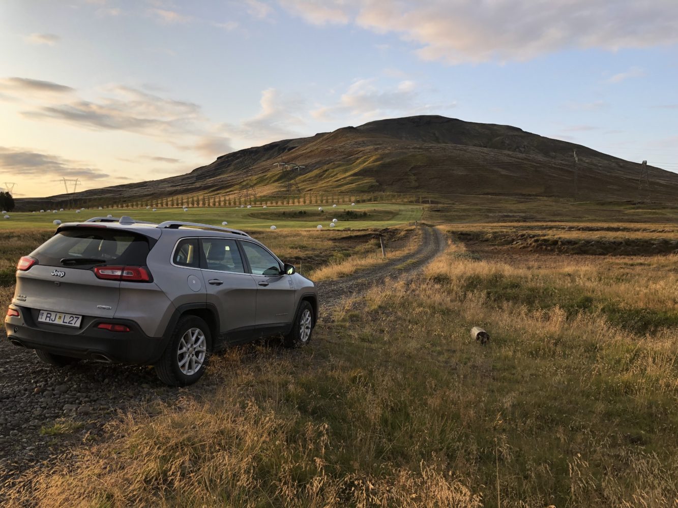
At the ‘trailhead’. Being so far north, what felt like it should have been a short sunset actually hung around for hours. I was worried about daylight lasting when I began, but soon realized just how slowly the sun sets this time of year. (click to enlarge)
A quick jog on a dirt road next to some farm fields eventually gave way to what I was looking for: a rugged dirt track making an ascending traverse across the southwest slopes of the peak. Although not very tall, Mt. Burfell is certainly long. Stretching several miles from top to bottom, I knew I had a decent amount of ground to cover to reach the true summit at the north end of the massif.
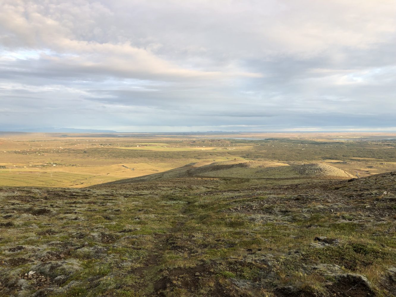
Thankfully the old track proved true enough for the beginning. Perhaps still somewhat used by humans, this gets 10x the traffic in sheep hooves these days, I’m sure, which kept it in manageable shape. Dodging the mud and rocks and I ran upwards, the views got better and better with each step.
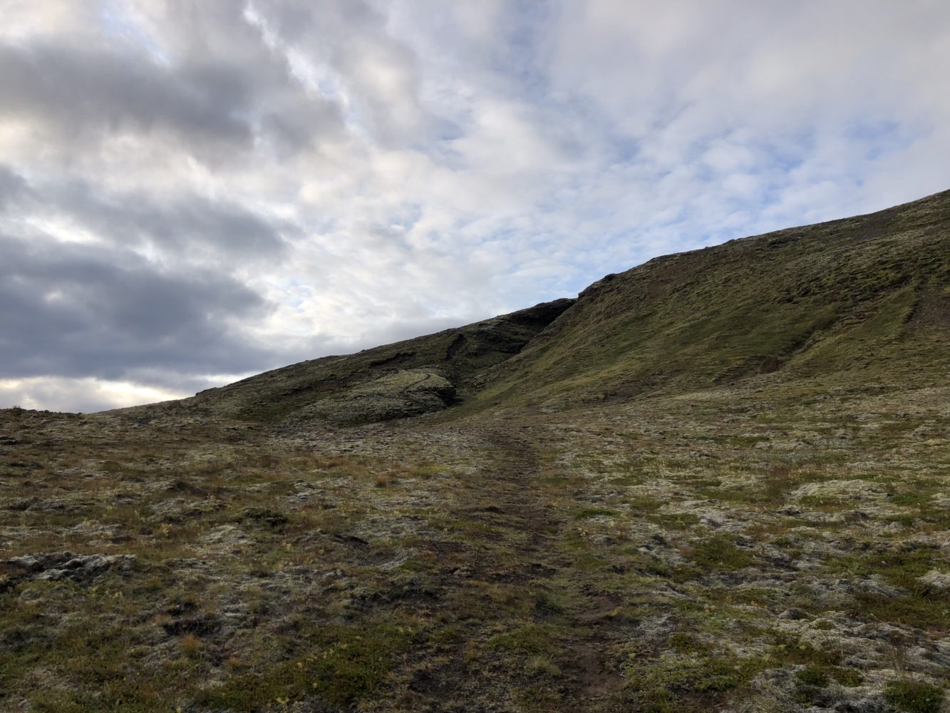
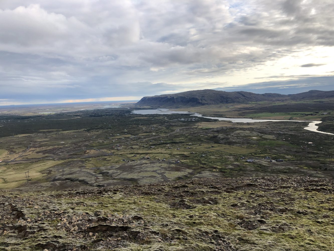
The green moss and gentle rolling slopes made judging distance tricky on this one. Burfell isn’t tall, but it is certainly big. (click to enlarge)
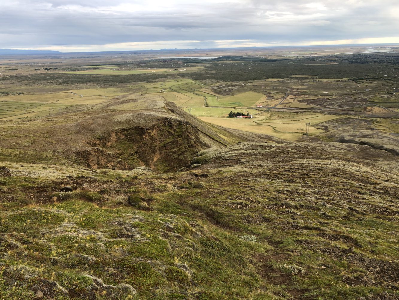
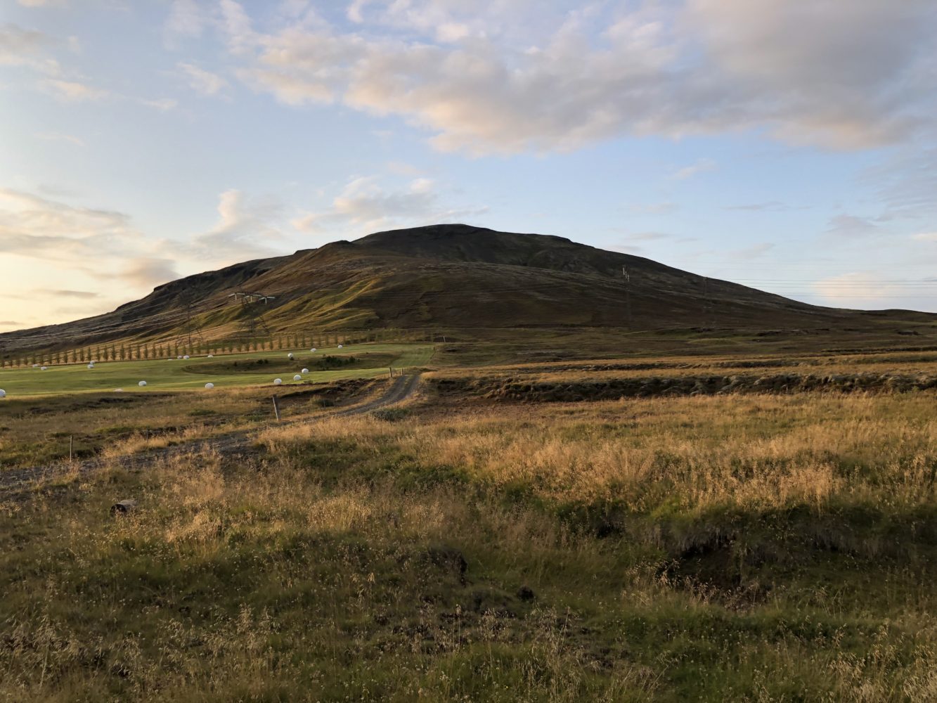
Up, up she goes. I parked to the left of the farm house in the distance, just behind the shoulder in the frame. (click to enlarge)
As I climbed higher, eventually the track ran out (or I lost it). No matter, I thought, as the way from here was more or less clear. As I bushwhacked ahead on spongy turf and moss I marveled at just how expansive the upper reaches of the peak were. Far more than the narrowly defined summit ridge I was expecting, there was an entire ecosystem and region of territory up there. Quite the surprise, but certainly a welcomed one.
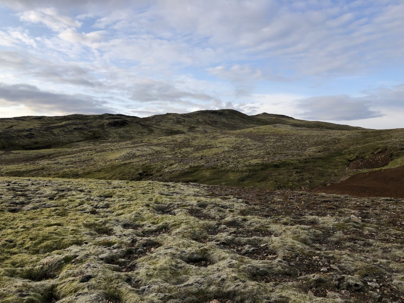
What appears to be a line of distant hills are really all part of the same upper mountain massif. (click to enlarge)
Trudging onwards, I double checked my map to make towards what appeared to be a small basin beneath the true summit. Although I couldn’t see it yet, the map showed a little lake there. I wondered what it might be.
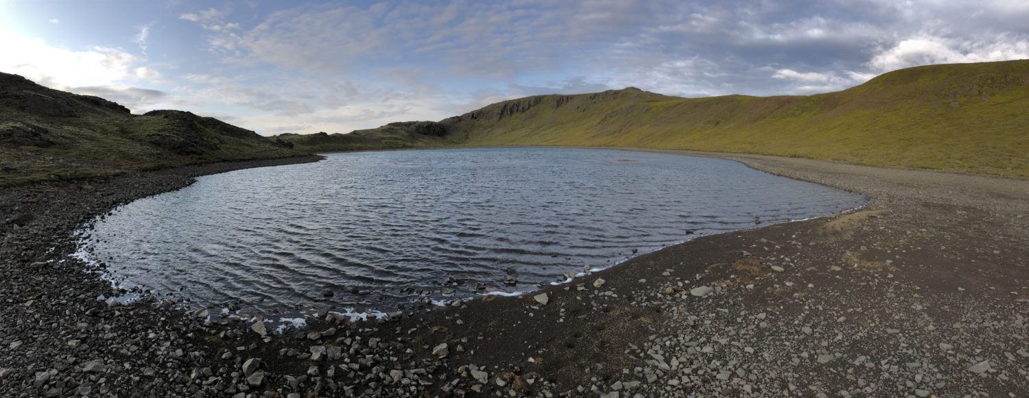
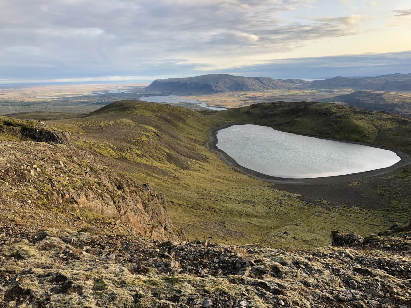
The lake was far bigger than I was expecting. It filled an entire basin of land beneath the summit ridge. It was backed by a parallel ridge behind. Without a higher peak anywhere nearby, the effect was such that this lake was completely and utterly hidden to all bit those who come to find it. I stood at the shoreline simply smiling at this unexpected treat.
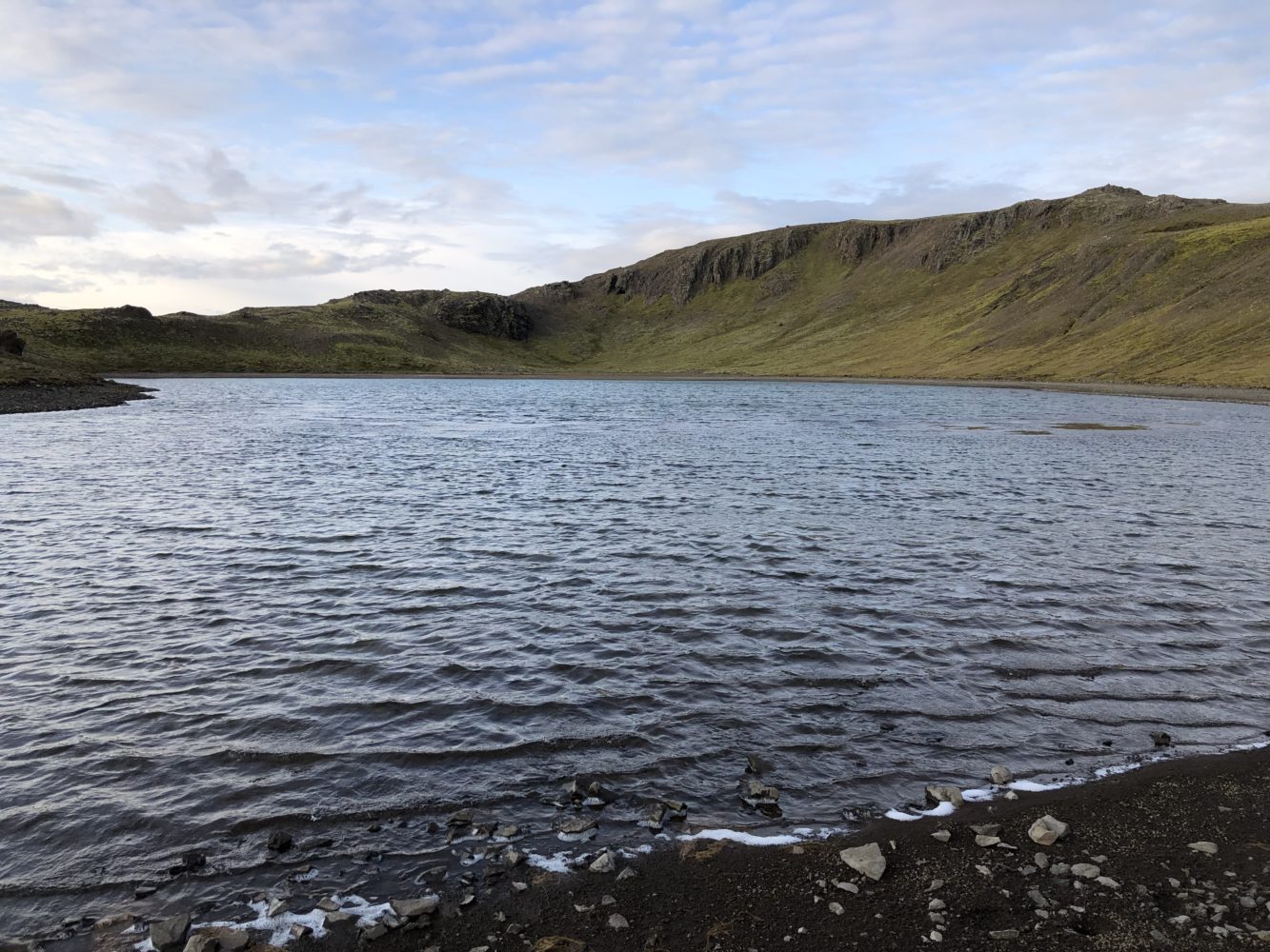
On the shores of Burfell’s hidden alpine lake. The true summit is just behind the highpoint on the ridge beyond. (click to enlarge)
I found another track working its way around the shore line. There we cairns here too. As I surmised later, there are some cabins (Icelandic summer retreats) on the west side of the lower mountain. As best I can guess, those visitors make their way up to the lake with some regularity in the summer. It’s little wonder why.
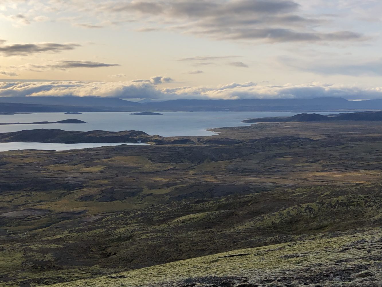
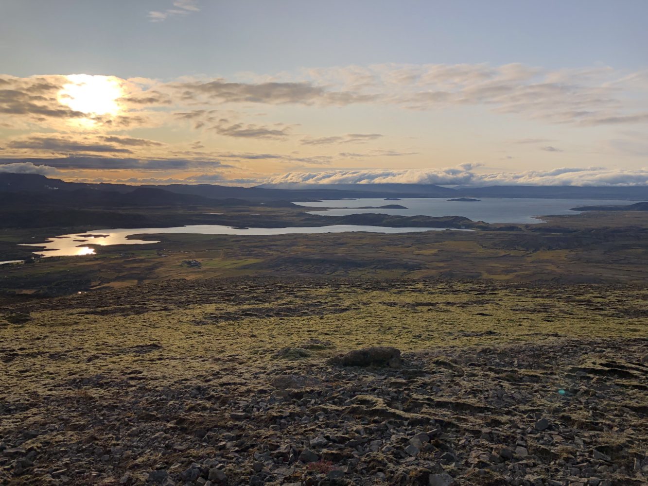
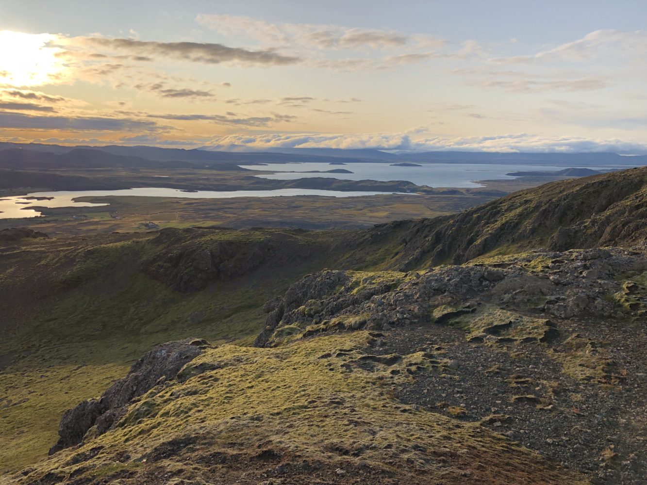
A quick scramble up the final hundred or so feet led me to an absolutely gorgeous sunset summit. The sun was slowly slipping into Lake Thingvallavatn, but not before casting a long, long bout of alpenglow across the land. The sweeping vistas were nothing short of magnificent.
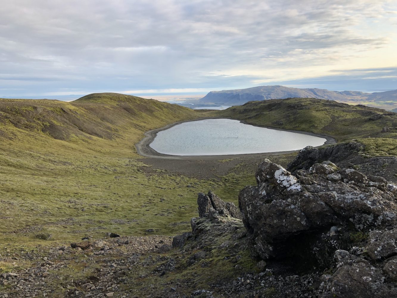
Lake view from the other side, seen from the craggy final reaches of the summit ridge. (click to enlarge)
As I am wont to do, I took the time at the top to reflect and think about life a bit. I thought about my past few years and all the things that led me to this place. The mountains are best for that sort of thing. This one afforded a unique opportunity to soak it all in.
On top of Burfell I thought about the idea of hope. Namely, I thought about how important hope is (or should be) in my life. As Andy Dufresne once said, “Hope is a good thing. Maybe the best of things. And no good thing ever dies.” That’s damn right.
This gave me great comfort on that summit. If I am honest, too often I find myself living live out of a place of fear rather than hope. Out of worry rather than faith and action. This summit was a reminder to trust in hope. To trust it and live life in a hopeful way. Because from that hope springs joy.
This was an encouraging thought then. It is equally so now.
It’s fascinating to live in such an unprecedented global time. No one knows where these things will lead. But then again, neither have any of those who have come before us. As another wise man once said, none of get to choose the times in which we live, “All we have to decide is what to do with the time that is given to us.” Indeed.
With those thoughts in my head, I said a quick word of thanks, took one last look around in awe, and began down the opposite side of the summit ridge. The path took me directly over top of the friendly lake below. A green walk on the sky in southern Iceland.
The way down turned out to be quite a bit easier than up. I descended directly down the broad south ridge of the peak, which turned out to be somewhat drier. It had a track most of the way as well. There were also quite a few cairn piles there, which made it that much easier to navigate. Perhaps this mountain isn’t quite as secret as I thought. At the very least, I am happy to share it with just a few Icelandic farmers and vacationers.
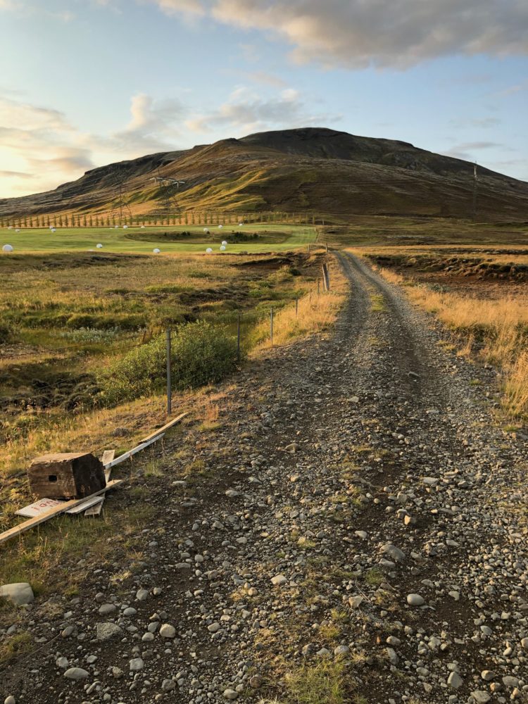
Back at the car after my journey. It was only 5 miles and ~1,500 vertical feet, but Mt. Burfell registers every bit of a worthy mountain in my book. (click to enlarge)
Postscript – Two More Hopeful Moments
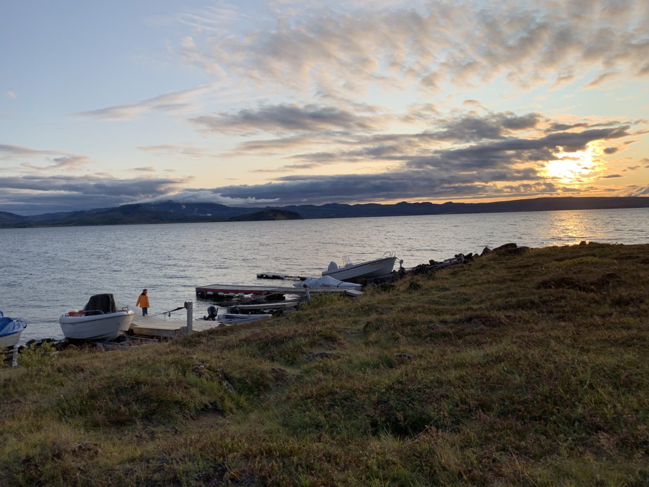
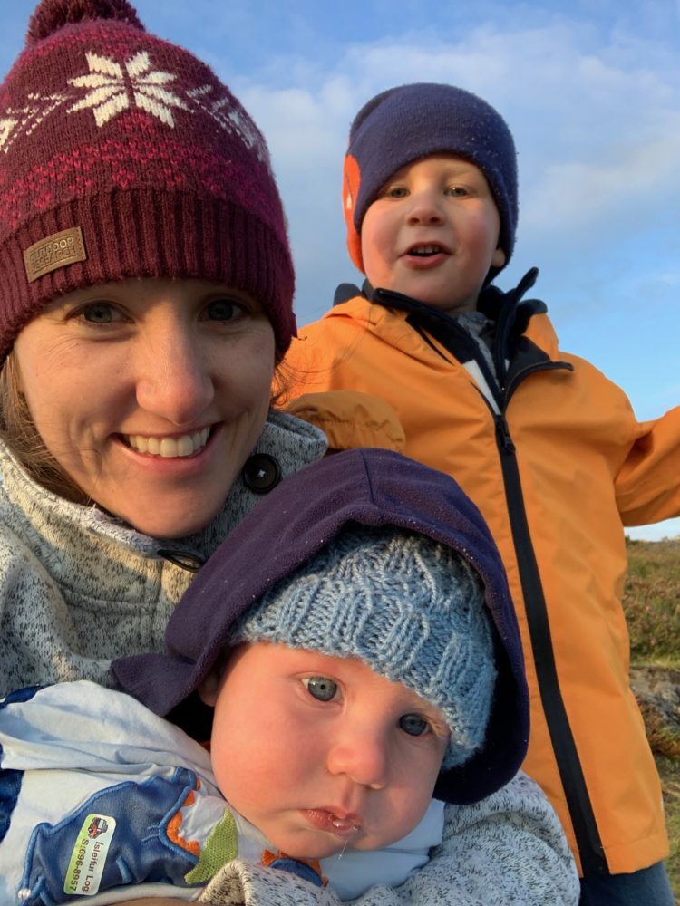
By the time I got back to the cabin it was nearly dark. I excitedly told Katie about how successful my exploring had been. Apparently things had been good ‘back at the ranch’ as well. She and the boys had been able to enjoy the very same sunset as I did from the shores of the lake. A poignant reminder how much we’re all connected, even if we forget it.
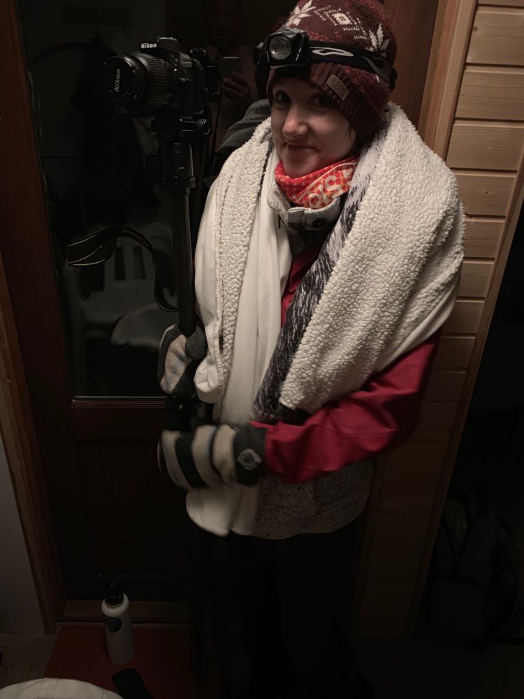
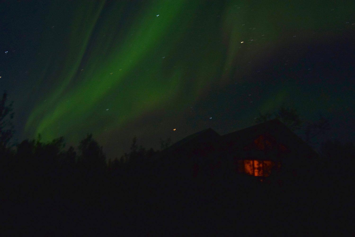
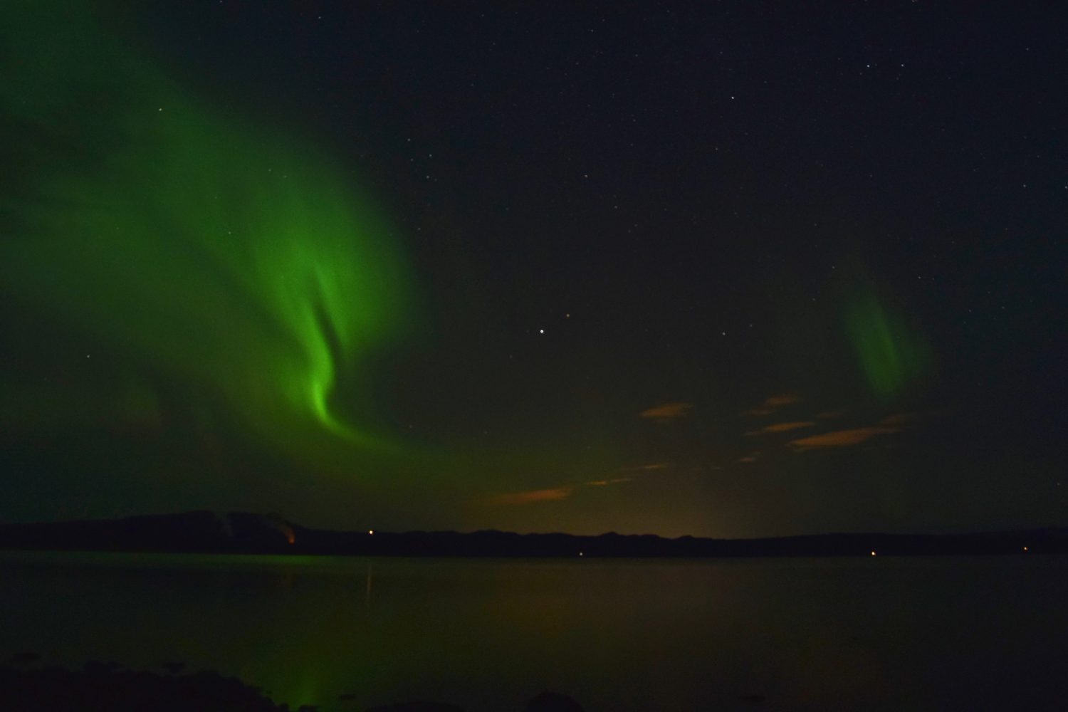
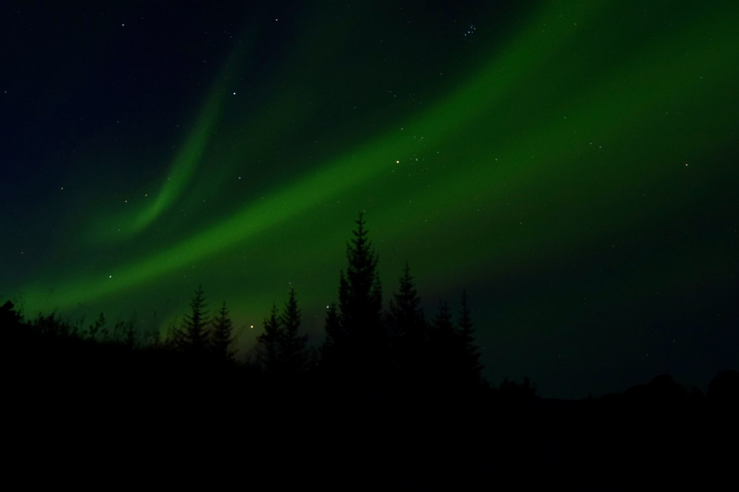
Two nights later Iceland would serve up one last portion of goodness. Although I was quite content to watch from the cabin, Katie bundled up at 3:00 in the morning to brave sub-zero temps and arctic winds to capture maybe the most hopeful sign of them all: The Northern Lights. We have been blessed to see them twice now. Most things in life just don’t quite live up to their expectations, but these do. That night was no exception.
Thanks for reading if you did. All the best to you and your families.
Happy climbing!

Great write-up @Zambo. Felt like I was there.
Would have only been made better by a double order from Bæjarins Beztu Pylsur.
Haha….indeed. No better post-sun snack.
Well, maybe that’s not 100% true….