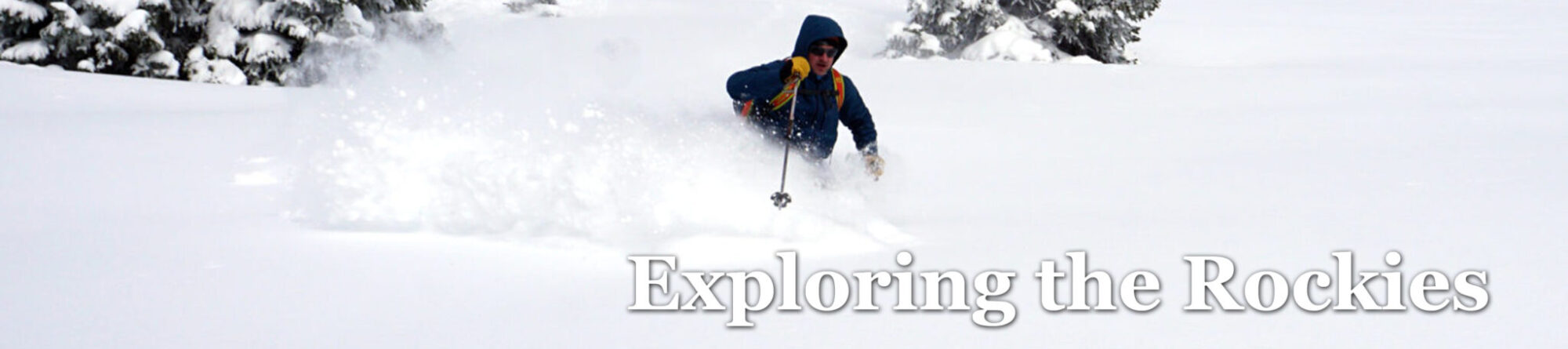
Trelease left, Golden Bear is the unimpressive rounded lump in the distance.
Suddenly the holidays arrived, and I realized I’d not been in the mountains since mid-October. It would feel like a sin with this crazy warm weather, except that’s just it: when each weekend has brought 60s and sunshine down in Denver, the bike’s siren call cancels out that of a thirteener with upper 30s and wind chill.
Saturday December 16: a quick hike up to the summit of Golden Bear. I slept in to 6:30 and made the quick drive to the Loveland exit, then the hairpin onto the dirt road tracing back, beneath Mt Trelease. The road was packed and I made good time up it, then followed a snowshoe track into Dry Gulch. Now for the game changer: I’d foolishly heeded online opinions not to mess with snowshoes, and every step became a posthole.
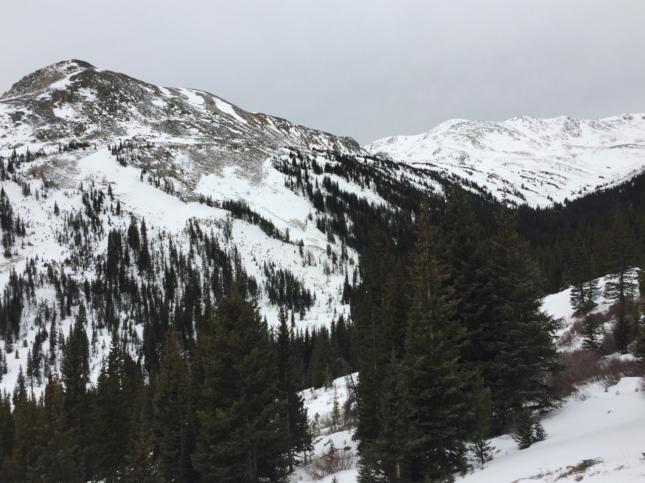
Citadel’s summit from its western sub-summit.
Looking up, I found a patchy network of bare ground leading up the slopes to the ridge between Bethel and the Citadel. So the plan changed: Golden Bear by way of Citadel and Hagar.Having done these two with Pettingell four years ago, I was excited to repeat the scrambling on those summits. From here, the pictures tell the tale.
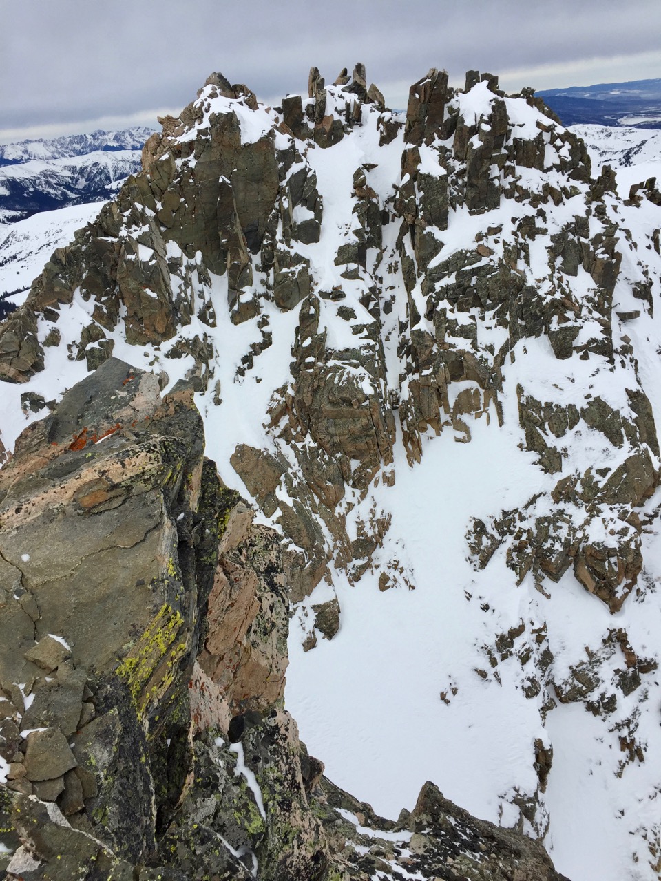
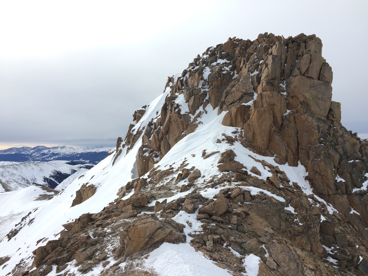
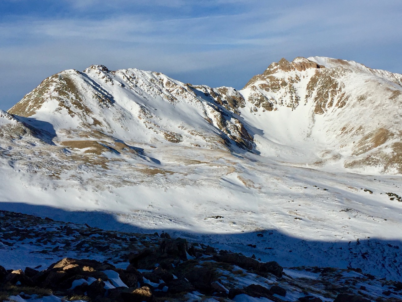
Dry traverse beneath the lump between Citadel and Bethel; Citadel’s craggy summit ahead.
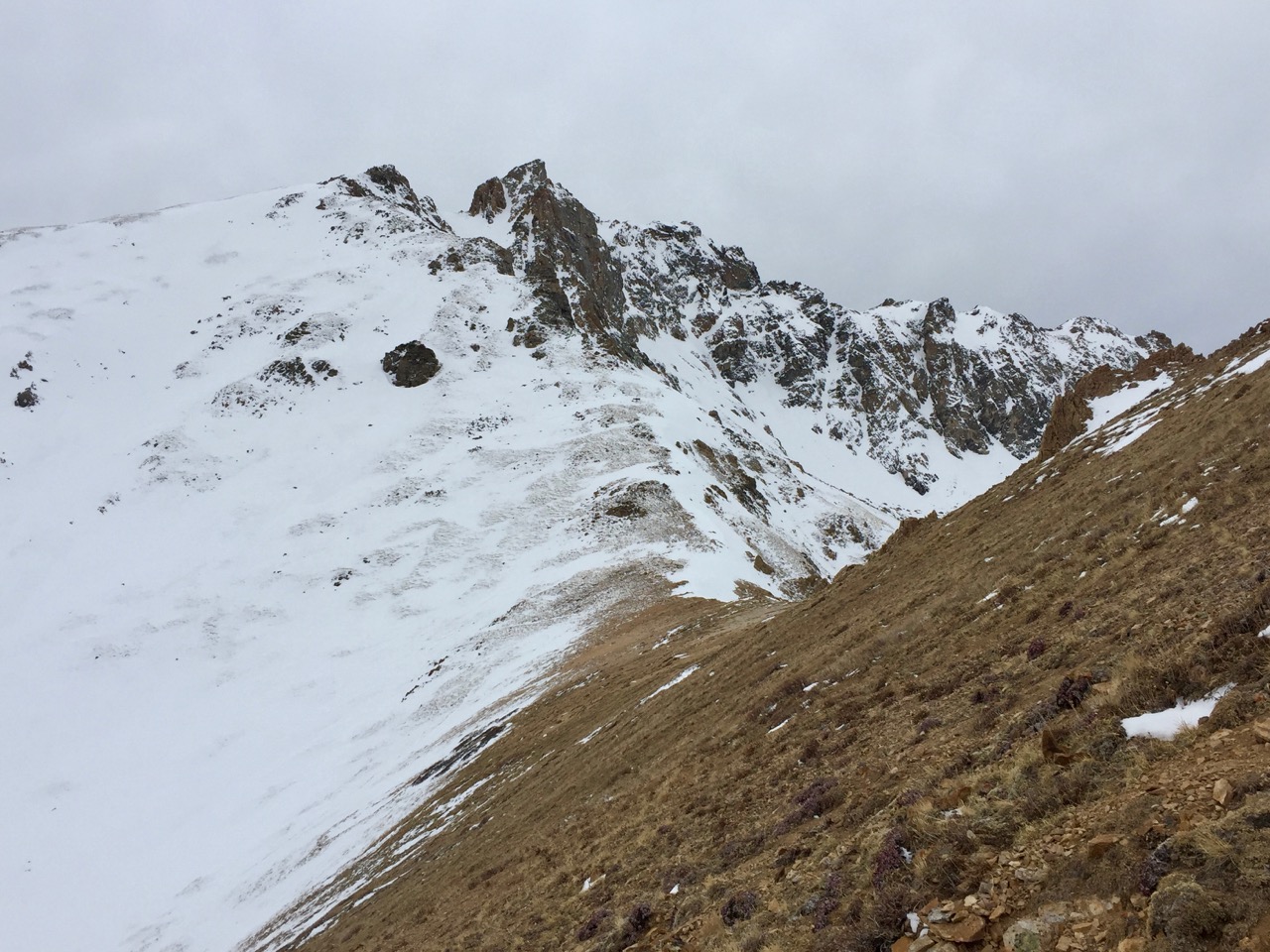
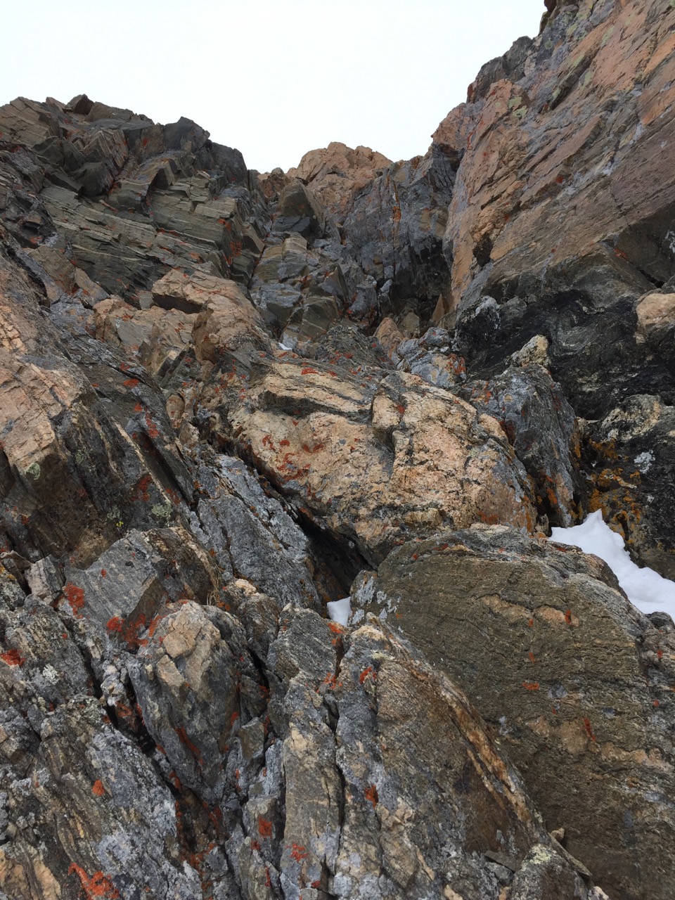
View back to a surprise down climb just before reaching Citadel’s summit crag. I call it 3+/4-.
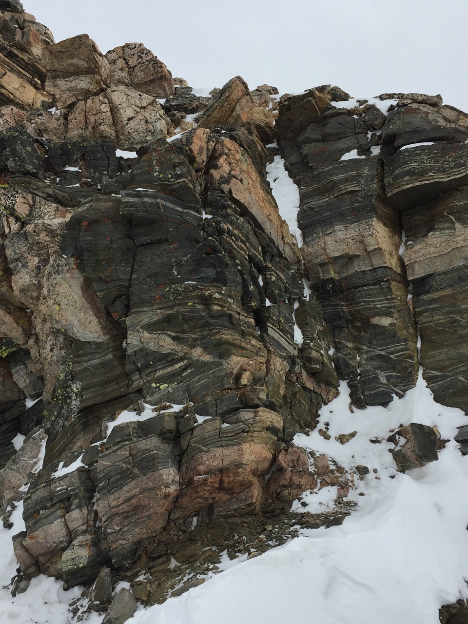
The mostly class 3 route up to the Citadel. A touch of easy 4 in the upper portion, where the rocks angle diagonally.
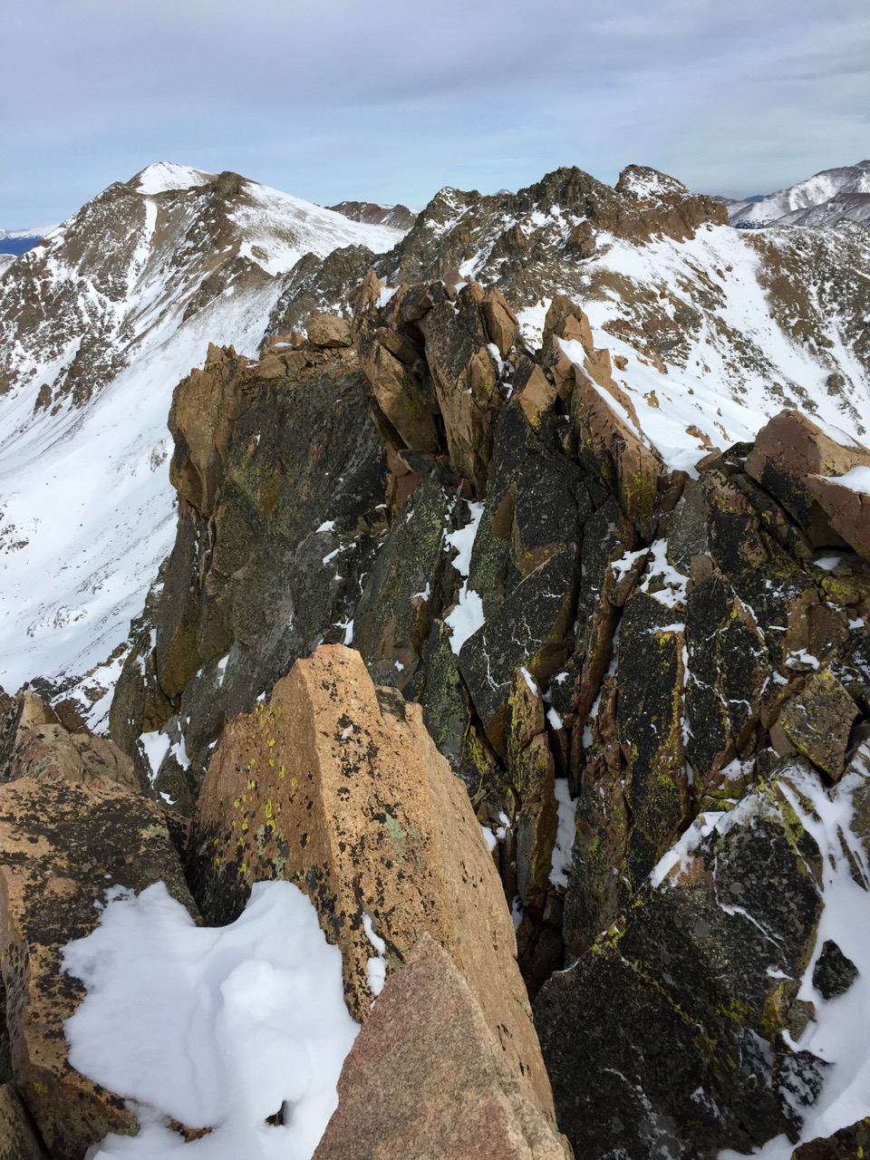
View back to the summit from the western crags. The short traverse between the two is easy class 3.
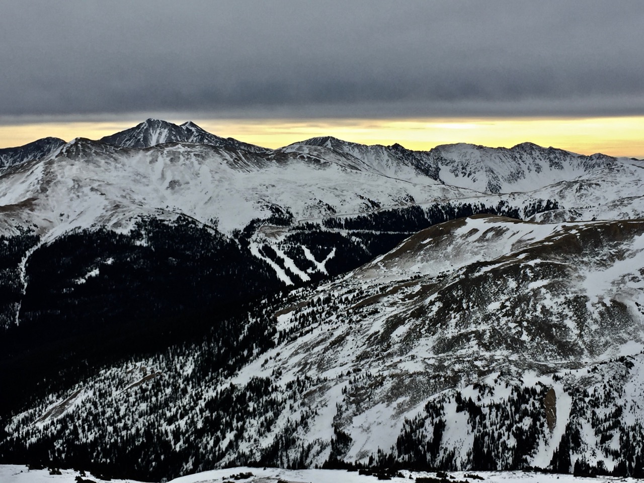
View south to Loveland Ski area and I think Lenawee is the tall peak at back left.
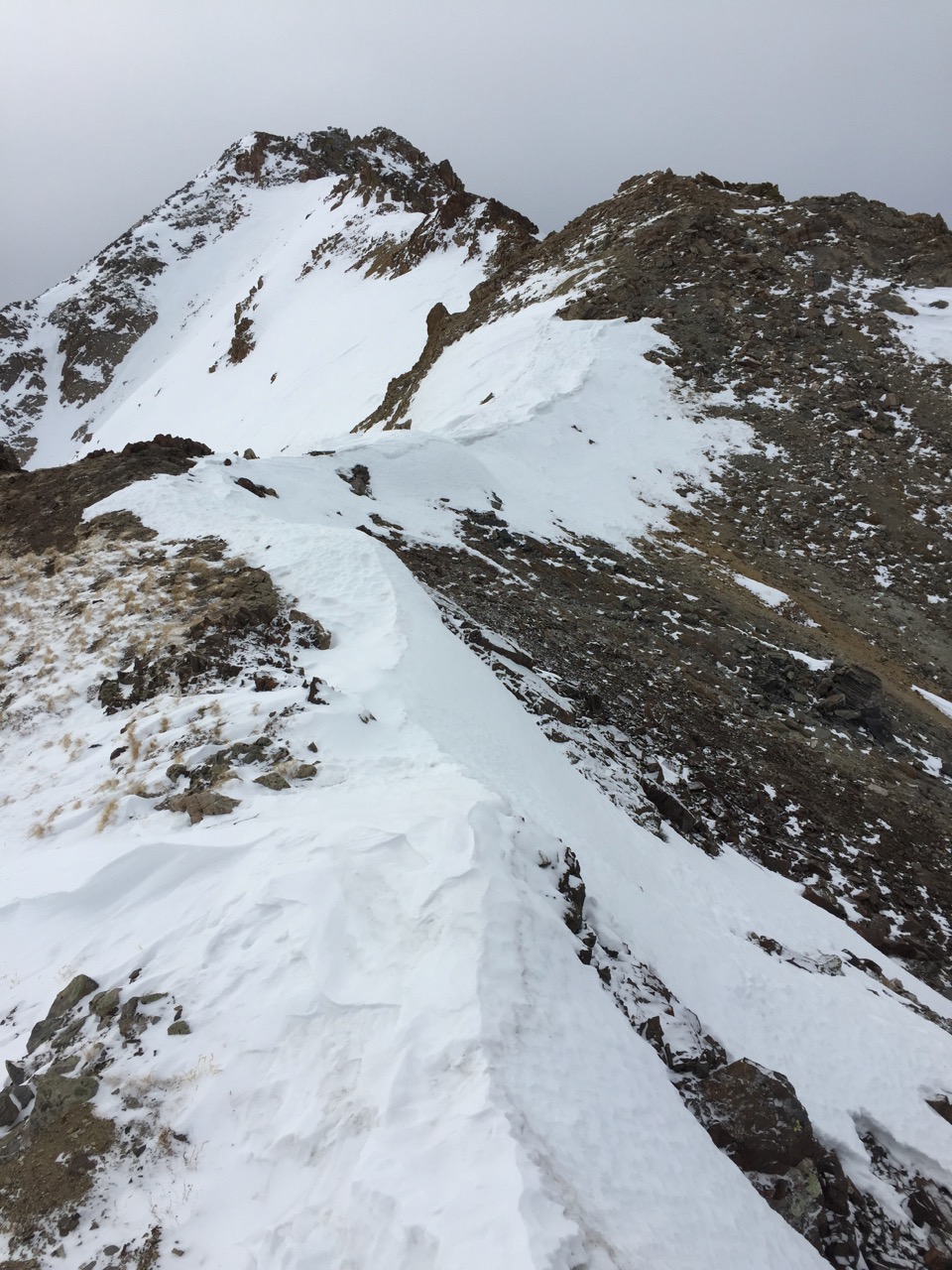
Ridge west to Hagar after threading down class 3 from Citadel’s western sub-peak.
Summit of Hagar, a fun, short scramble.
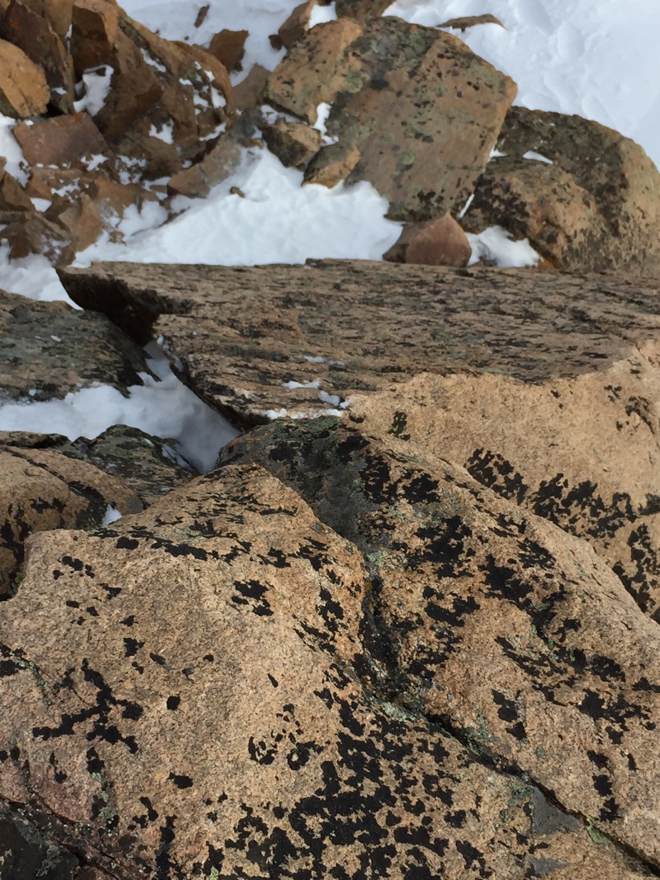
View back down a slab used to gain the ridge. I recalled this feature from my prior climb: a foot hold down low allows one to grab the edge and the move a foot into the crack beneath the edge.
From Hagar’s summit, a view back to Citadel (back, right of center) and Pettingell (further back, left of center).
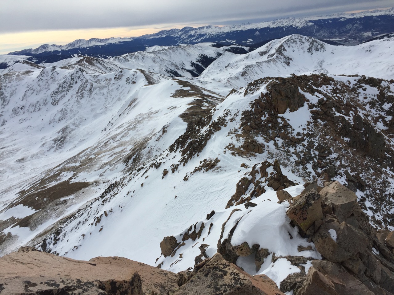
Down climb from Hagar and easy but longish arcing ridge over to Golden Bear (the summit is out of sight to the left).
Hagar (left) and Citadel (right),with Pettingell’s more rounded top behind.
Once off Hagar, the ridge to Golden Bear was an easy hour. I drank in the sunshine on this sublime wintry but wind-less afternoon. After 10-15 minutes, I descended Golden Bear’s east ridge, following the posts that mark the border of the Loveland ski area. I had considered returning over the bare top of Trelease, but not wishing to sink thigh high into the snow in the trees on the eastern side, I opted to turn south and bee-line down the valley toward I-70. This stretch was a post-hole-mageddon, as I sank in calf deep or knee deep with each step. I tried following a watercourse, thinking it might be frozen over and thus offer more solid snow, but the stream was still running slowly underneath, so the post-hole misery was augmented by accumulating frozen snowballs to the tops of my boots.
The snow thinned and became more solid when I reached the unused Loveland lift, and I was to I70 in only a few minutes from there. Hiking back to the car along I70 was not aesthetic, but it made for quick time to reach the car just before dark. All in all, a splendid way to spend a winter day.
Looks like some nice views from up there, Steve. Good work.
Good work getting this in, Steve. I’m pretty sure Blythe told you that we did a (somewhat failed) attempt at this a few weeks prior. Oh, and that we should have invited you…. Haha, my bad man. misread the text and well, there it went. Glad yu knocked it out tho – cool loop.
Thanks, guys! Consider this report karma, Zambo! ?