Sawtooth Wilderness, Idaho. A land of jagged mountains and mesmerizing sapphire lakes. Also a land, unfortunately many years, of smoky haze from wildfires.
Mary Beth and I visited friends who recently moved to Boise, and we enjoyed some camping in the Sawtooth region. Camping is hard to come by: the campsites all around Redfish Lake fill up quickly. When we came into the tiny town of Stanley on Wednesday, August 2, we thought there might be sites available, but we found ourselves camped on a high mountain road several miles northeast. One perk was that we had a nice little stream by our camp and we were comfortably above the haze from wildfires in Oregon.
The next morning, while my fellow campers slept comfortably, I drove back to Redfish Lake and to the backpacker parking lot. The initial trail goes by a roaring creek (Fishook Creek) and soon enough comes to a branch for Marshall Lake. It’s pretty level to this point and then makes a steep climb soon after the junction.
It was shortly after the junction that the sun arose. I could see Thompson Peak peeking from the tree line and I ran up the trail to gain ground to get a good shot. The trail struck below a rise; impatient to get a view, I left the trail to gain ground and get a good vantage. After shuffling to and fro to get the best vantage, I snapped a photo, and then my eyes were drawn to the ground.
All around me were thick stalked grasses, but by my feet lay a small pile of rocks. One mostly obscured by others was smooth. I lifted up the covering rocks to view it and found a oblong pink stone with a woman’s name engraved in it, and the dates of her lifespan. I wish I could remember her name now. What chance or serendipity led me to that spot? I meditated for a few moments on the rock, the woman, how she must have loved this area, and her loved ones who lay this memorial to her at this place.
After that reflection, I returned to the trail. Thompson continued to lure me on.
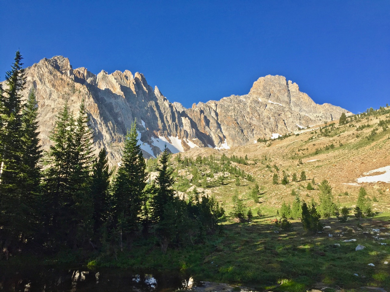
Thompson (right) and the awesome spires of its east ridge. This was taken from farther past the memorial stones.
Aesthetic as Thompson is, it was the second peak of the day, and I looked for an expedient option to gain Williams’ ridge. At a spot where the trail descends a little bit and continues on, I stopped and headed due north to gain the ridge. In hidsight, I’m not sure this is the best option: it’s a lot of ridge.
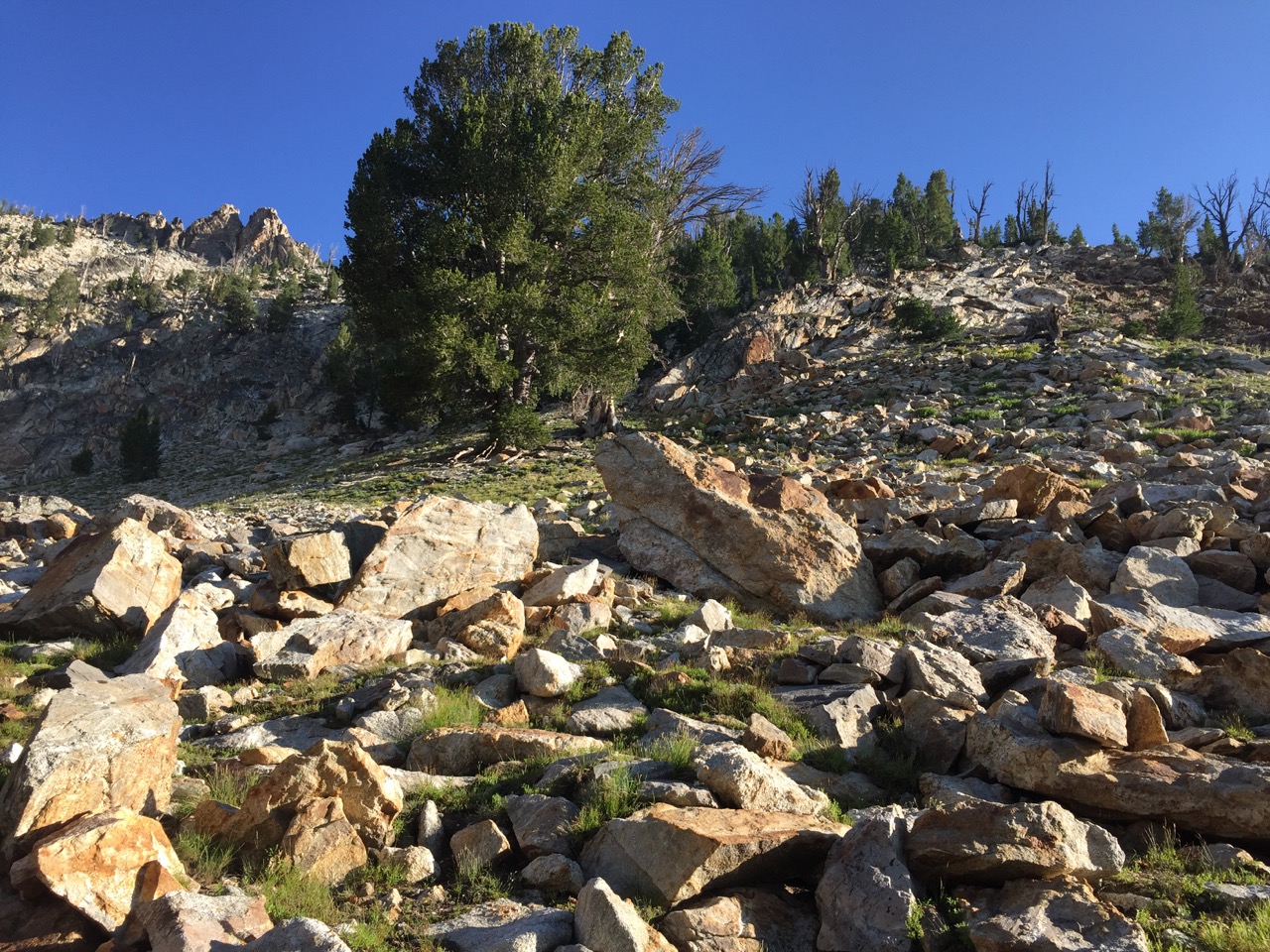
A fair enough route to the ridge. The problem: it’s a long ridge. Perhaps staying the trail longer could have found a more expedient route.
I got on the ridge, all fresh and eager, and thinking Williams’ summit was much closer than it was. I soon learned that a lot of ground lay unseen between each new high point and the next. Also, I found it unfeasible to stay on top of the ridge the whole time, but had to find ways to bypass steep sections of treacherous rock.
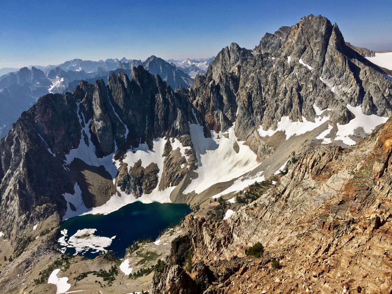
All the while, the view south is arrested by Thompson, and the difficulties of Williams’ east ridge is rendered trivial by gazing upon the spires of Thompson’s east ridge.
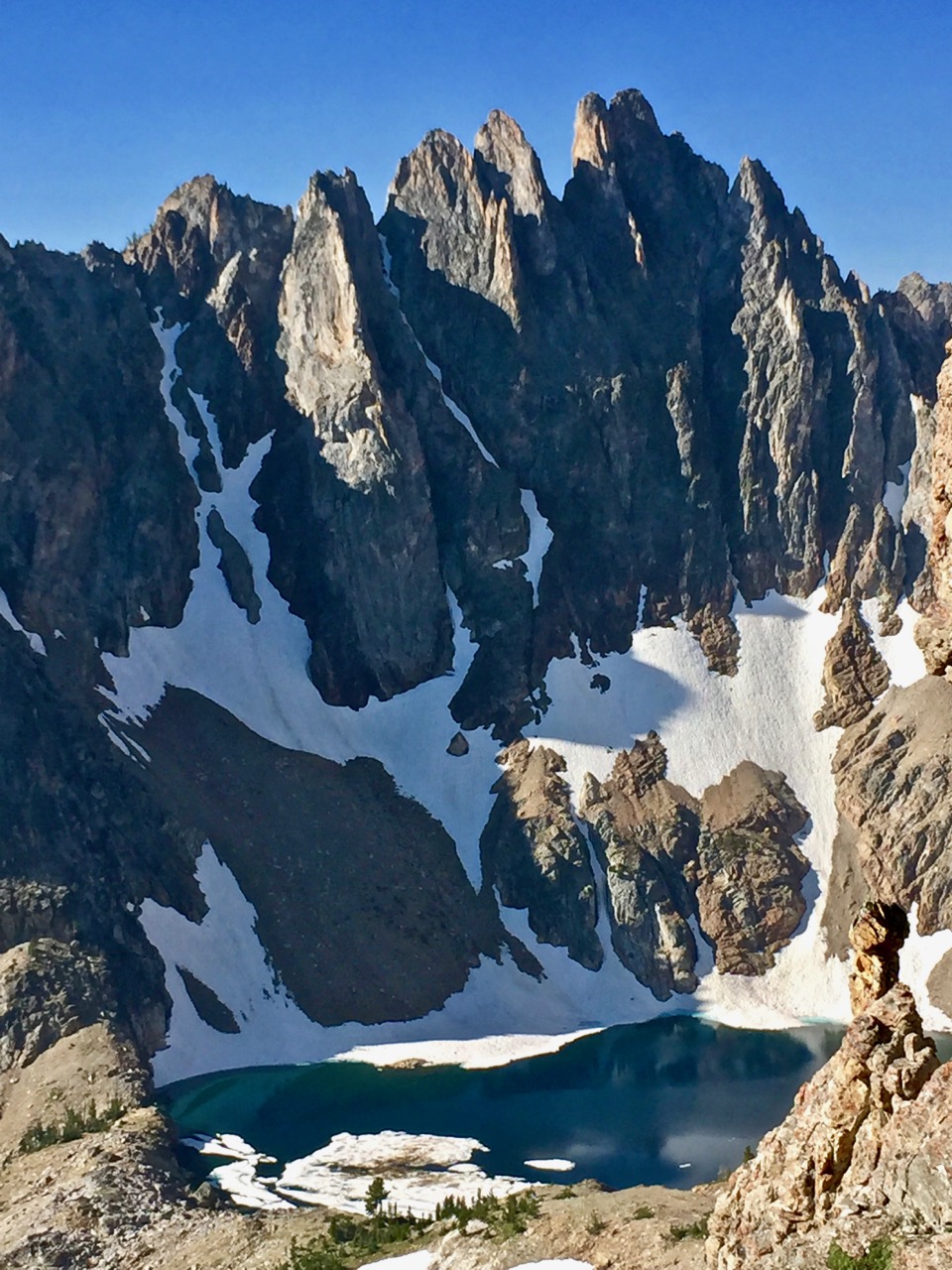
These spires call for Abe, or Ryan of Monster fame. Not for this middle-aged shell encapsulating a too-youthful soul.
After a little of this:
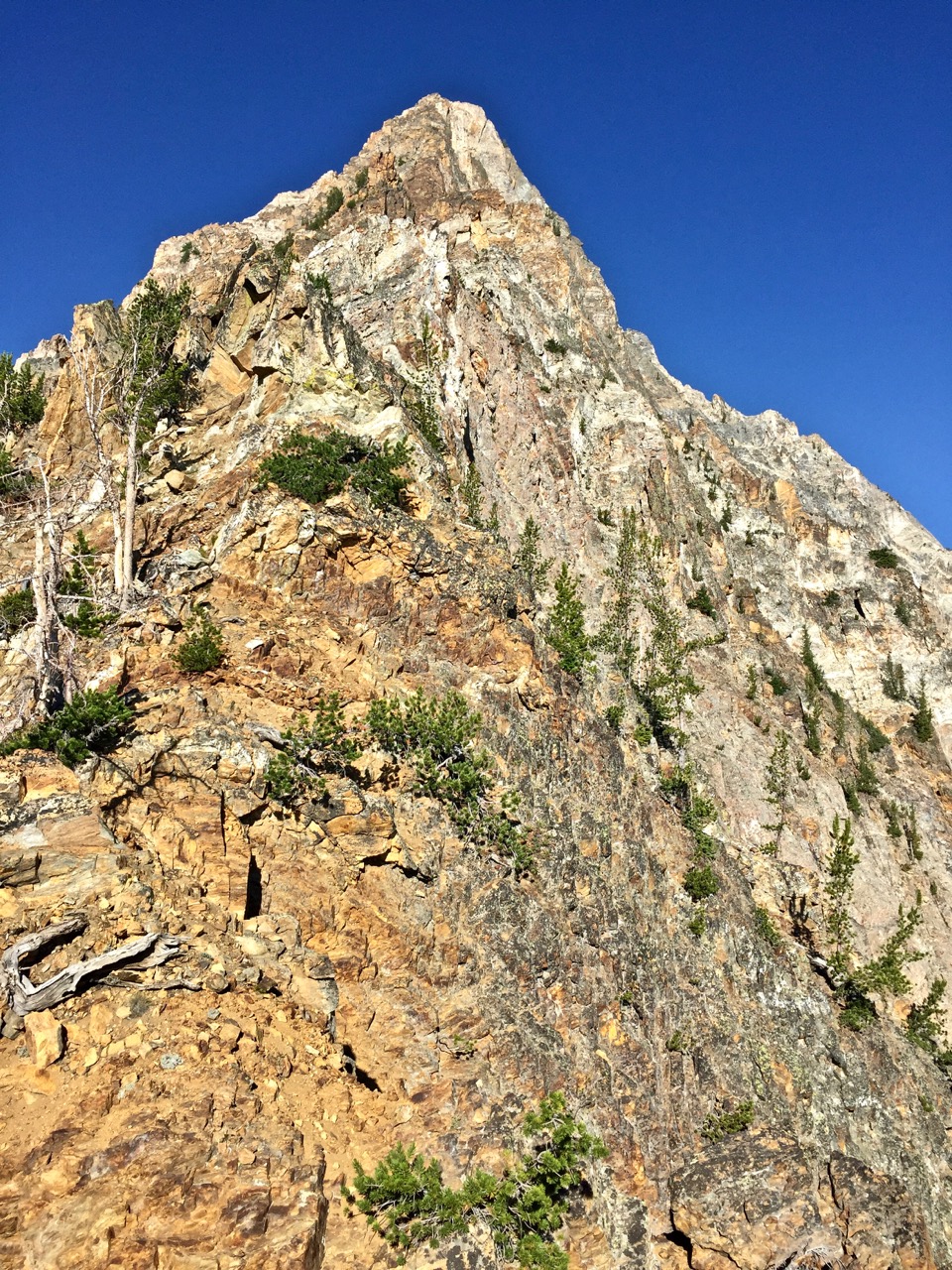
So close! Yeah, that’s not the summit.
Some of this:
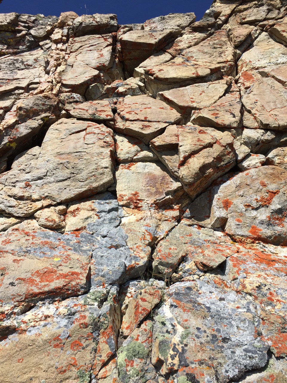
I don’t trust these rocks not to give Humpty Dunpty a good fall. Bypass!
and this:
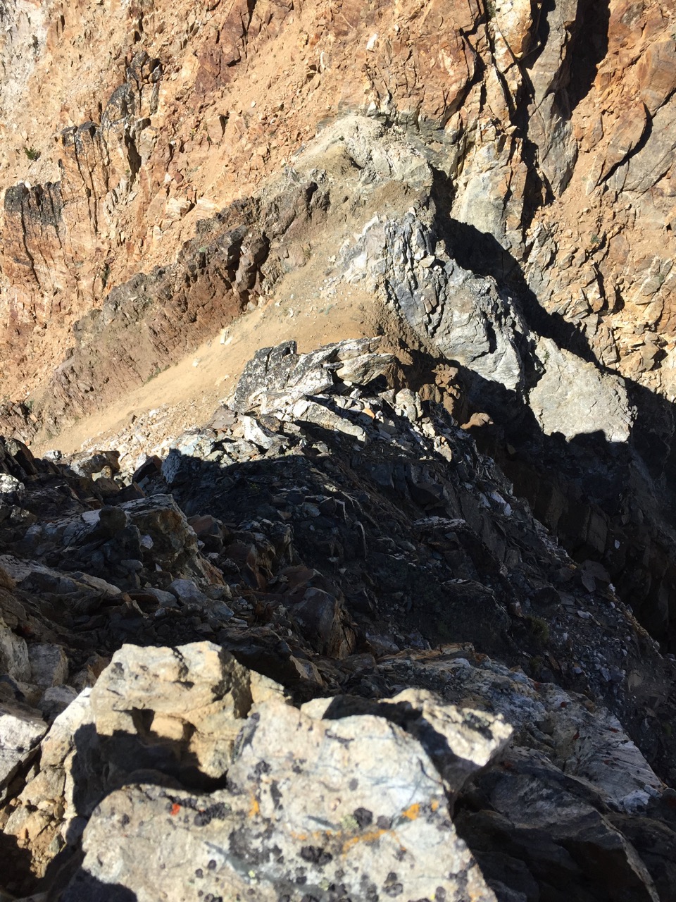
No, Mom, I definitely didn’t climb down this!
I finally saw ahead to this:
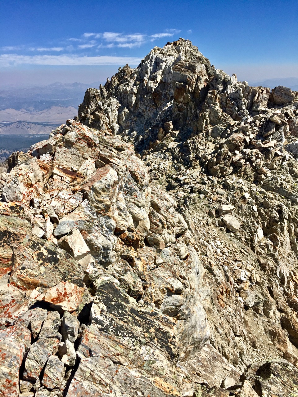
The true Williams summit, close at foot, at last.
I took a few minutes to relish the summit and rest from the taxing ridge. It was a mix of class three, hard class four and I don’t know, I rarely back off anything class 4, but I don’t know if the stuff that deterred me was really class 5 or it was just that the rock was rotten. Class two stretches were predictably made tedious with rubble.
Onward to Thompson. I found an agreeable stroll heading south toward the lake, on Williams’ west side, walking down an easy-angled slope of soft shavings, beneath a column of formidable pinnacles.
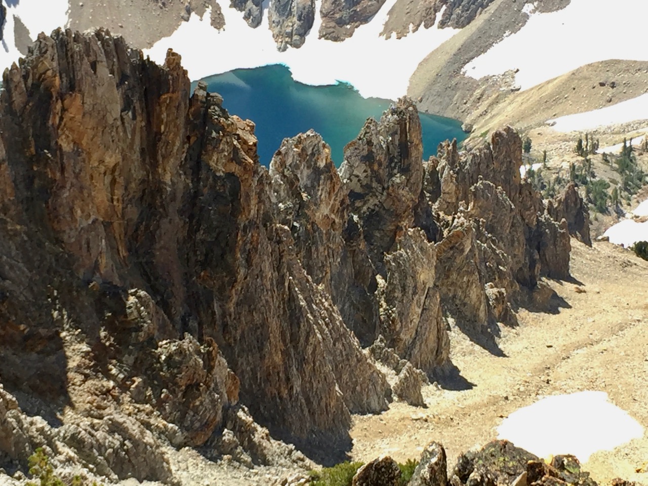
Making quick work of this section, I contoured above the headwall west of the lake to gain the saddle to Thompson.
Before that, though, a quick look back at Williams’ west side: it’s funny how things can look entirely different than they are.
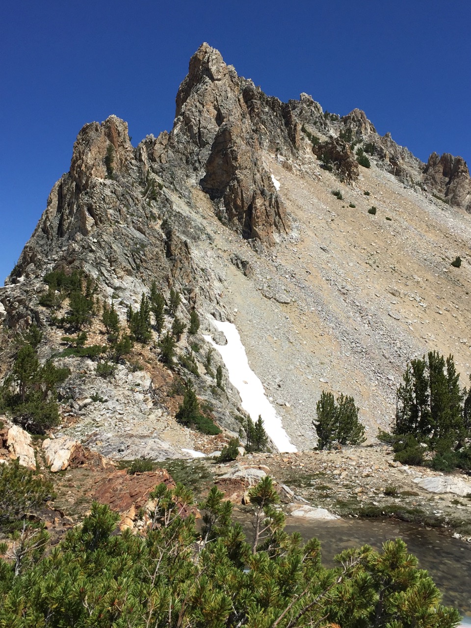
Williams’ rugged west ridge spires. The descent route was left of all that nonsense.
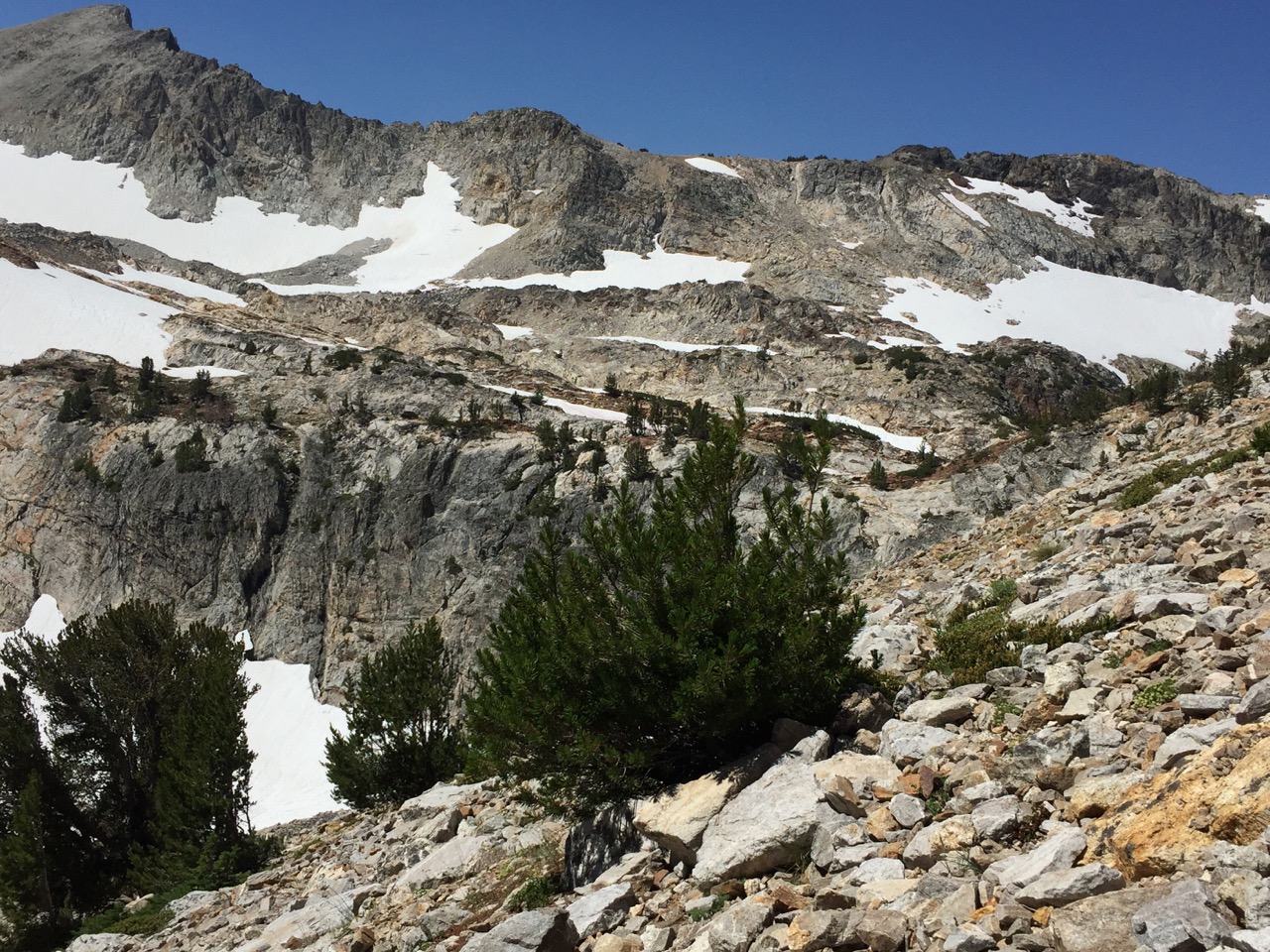
The ridge on the skyline is not the objective: just the slabby ground above the headwall streching left from center. That ridge and the mountains to the west made an impressive view, though.
The way to Thompson from here is straightforward if you follow the peakbagger’s adage not to gain too much ground too quickly.
I was good to here:
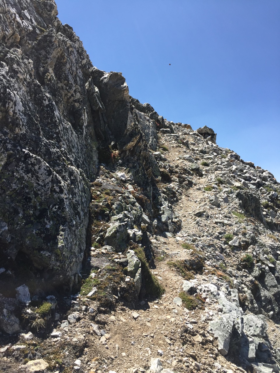
A trail!
And to here:
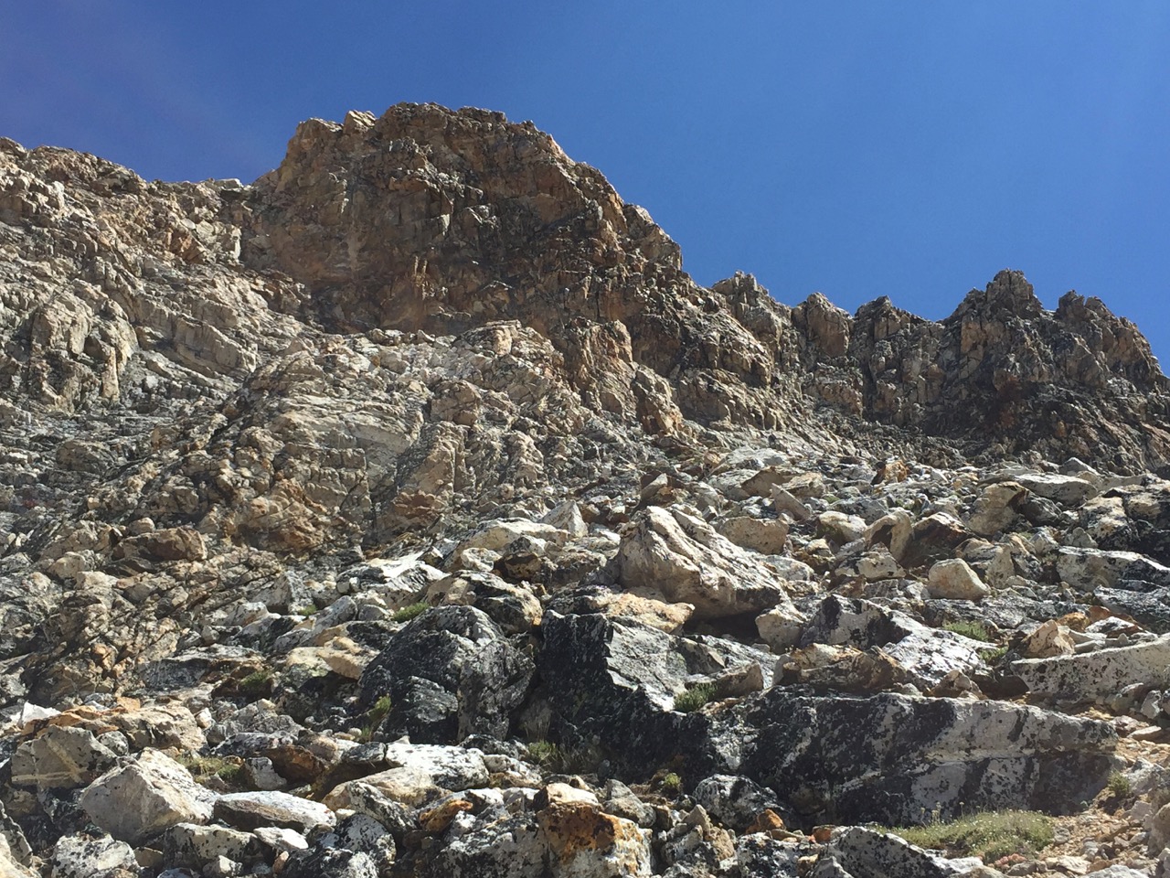
But I aimed ridgeward too soon, which was plenty of fun, but definitely not the “standard” route, which I found on the descent.
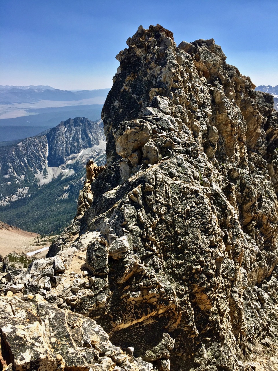
Fun! (And those who wish to avoid this fun should continue below and past the prominent spires at far right in the prior picture.)
On Thompson’s summit, I had a stupendous view to the lake below, and also an interesting summit register (thank full metal jacket).
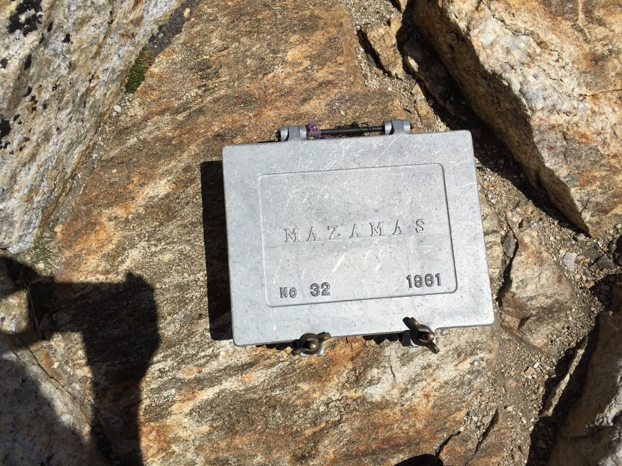
Another peak I found with an ammo box was by Las Cruces, NM, which does have an air force base nearby. But Idaho is the land of militias, so I guess this fits.
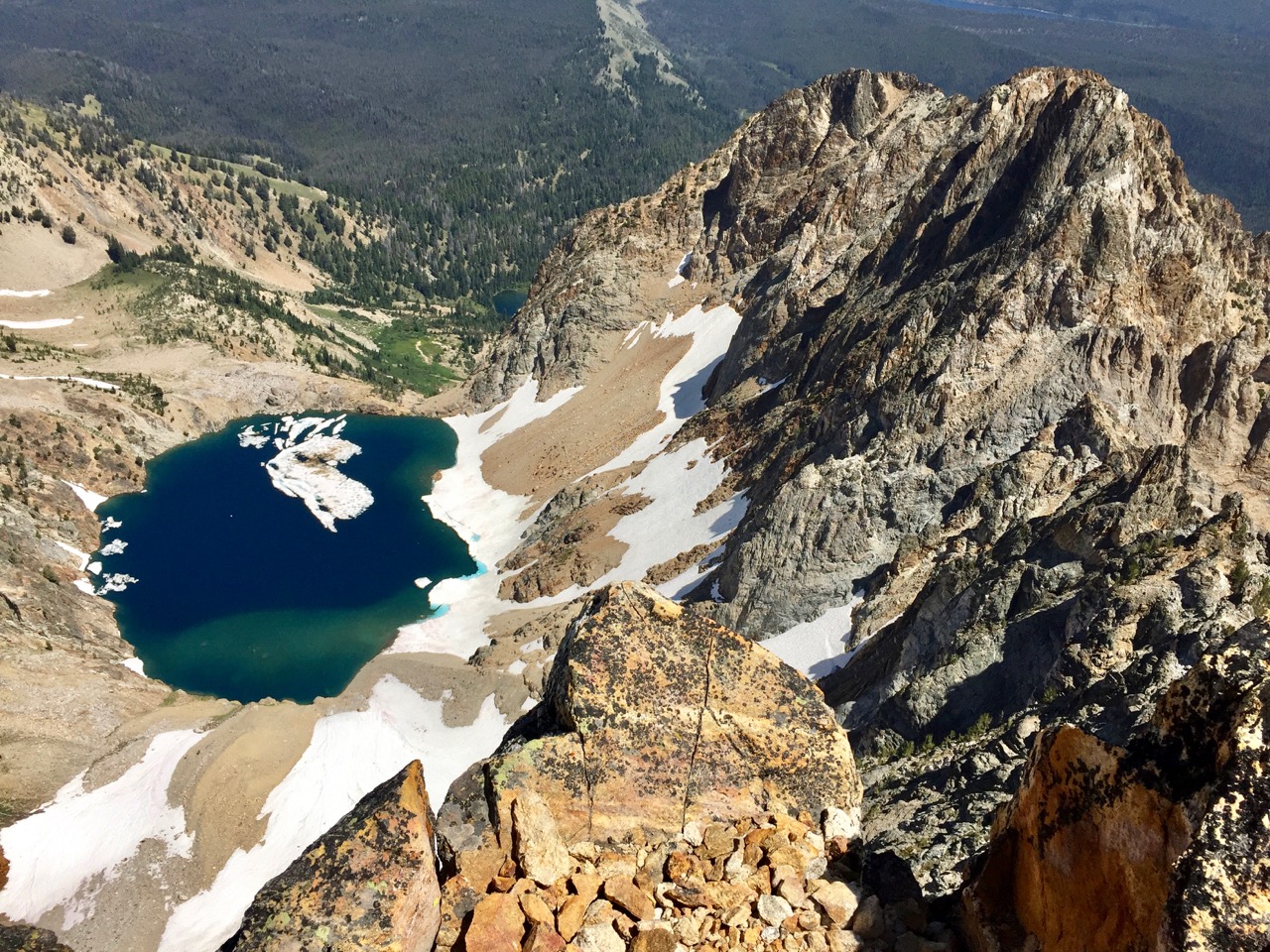
Just a hop skip and jump back to the trailhead.
Getting down from Thompson’s summit required close attention to footwork. Another hiker – the sole soul I saw all day in this basin – was descending as I neared, and I watched to trace his route down. Then, it was a quick jaunt to the saddle and to find a way down the headwall. I can’t recall that part now; I think it’s that I thought there was a good way down really close to the Thompson Peak side, but that I decided against that and retraced nearly all the way back to descent from Williams.
Getting back around the north side of the lake was not as fast as I expected – some ups and downs over broken ground – but soon, after, it was back to the trail, and then cruising at low altitude (these summits are only 10,635 and 10,751).
The next day, smoke from the wildfires completely obscured the view of any of the peaks from Redfish lake, and I was glad to have this single day to get above the fumes on some craggy peaks in a beautiful place. This area is like so many others: crawling with campers and tourists around the lowlands, but offering solitude and tranquility on the heights. I realized as I hiked out that I had just scratched the surface of the Sawtooth (why not sawteeh?) and that many exquisite backpacking opportunities lie in this pristine area.

WOW! Man, those are some beautiful mountains. Hope you’ve been well, buddy.
Thanks, Jason. Been a long time, man! Happy holidays to you and the fam.
Hi, do you have a picture of Thompson’s summit register in full metal jacket that you came across?
Thank you
Sorry, the reason I ask is because the description under the picture of the Mazamas ammo can talks about Idaho. So I guess the right way to ask would be – Was the Mazamas box #32 (on the picture here) found on Thompson Summit?
Thanks again!
Hi Elen! Yes, the Mazamas box #32 was on the summit of Thompson. It’s unusual to find these and it made me think of a prior occasion, where I found an ammo box on Organ Needle near Las Cruces, NM. Sorry for the confusion.
My thought on both cases was, “this is a heavy thing to lug up a mountain!” But really cool.
Hi Steve – By any chance, do you have the GPX map route you took up to the summit of Thompson Peak? I’m planning to head that was this weekend.
Liina,
Hi. Thanks for your interest. I was merely using a garmin topo and did not create. Gpx – sorry!