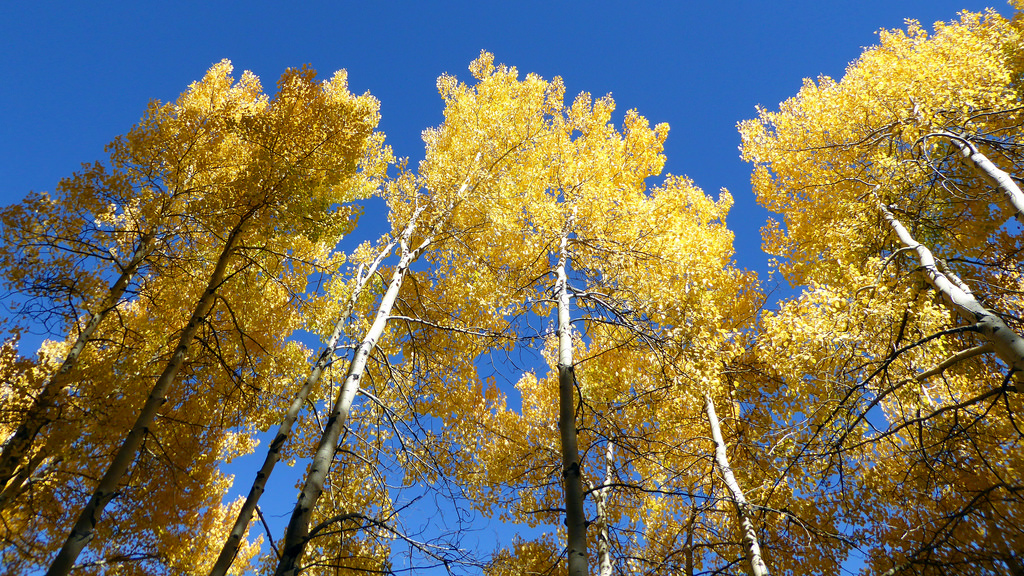
Aspens along the Beaver Lake trail, September 26th.
Fall is here and the Holy Cross Wilderness is a pretty good place to visit for an aspiring leaf peeper such as myself. I knew I couldn’t head up there just to look at leaves though. I needed an excuse.
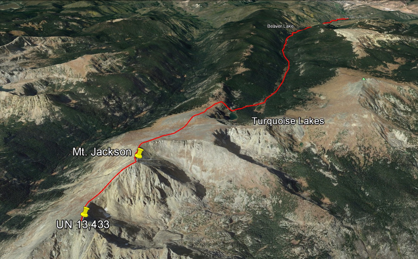
Mt. Jackson (13,670 ft) is the high point of a long north/south ridge line separating Cross Creek to the east and Lake Creek to the west. Located in the northern HCW, the peak affords great views of Mt. of the Holy Cross, Gold Dust and Finnegan peaks, and the Elks to the west. The shortest route up Jackson entails a 21 mile round trip, predominantly on trail, so I had always been intrigued about doing it as a trail run. With two races coming up and the prospect of knocking off a solo-able peak that had long been on the wishlist, Jackson was an easy choice. And now I had my excuse to go gape at those aspens too.
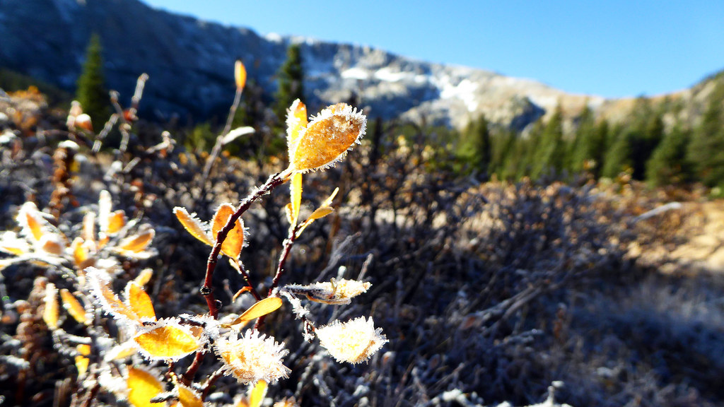
Morning frost at treeline.
The 7 mile trail approach up the long Beaver Creek drainage went quickly. I started at 7am from the upper parking garage in Beaver Creek and kept a brisk pace up the trail. Evidence of winter’s creeping slowly into the air was everywhere. Not just golden aspens but frost laden foliage and snow dusted ridge lines.
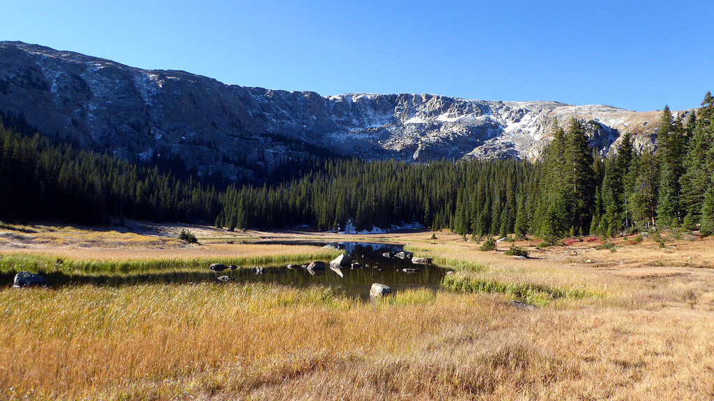
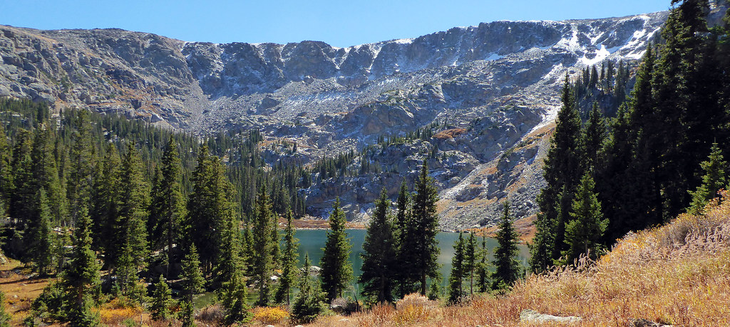
The Turquoise Lake cirque.
I love this time of year. Pumpkin beers are in, temps finally start to drop (even at lower elevations), and the hints of winter’s coming bring about flashes of excitement of ski season on the horizon.
I stayed on the trail to just shy of the upper-lake, looked to the west, and spotted the steep gully that grants access to Jackson’s north slopes. From the top of the gully a long tundra walk eventually led to this view…
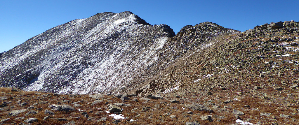
Mt. Jackson’s short and sweet north ridge proper. It goes at class 2+ with a few moves of 3 to get around some rock outcroppings.
I hit the summit and took a break to admire the majestic views of the HCW and down some much needed food and water. The summit register seems to have disappeared, replaced by a tin can containing a few Jolly Ranchers and a Jon Kedrowski business card. Oh well, can’t win em all I suppose.
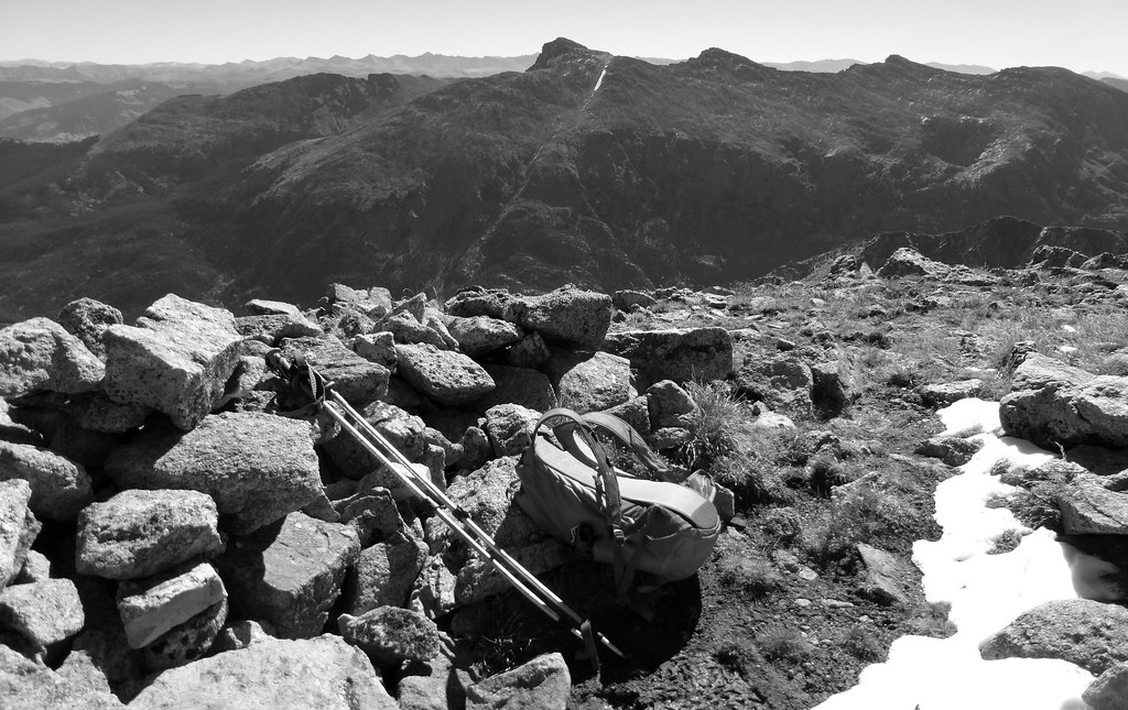
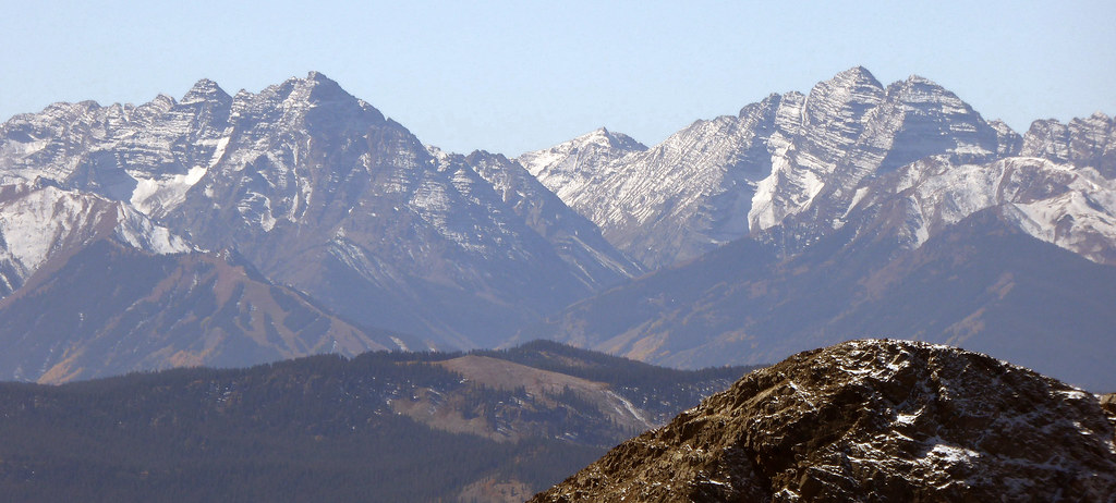
Mt. Jackson summit with Holy Cross and Holy Cross Ridge visible across the way.
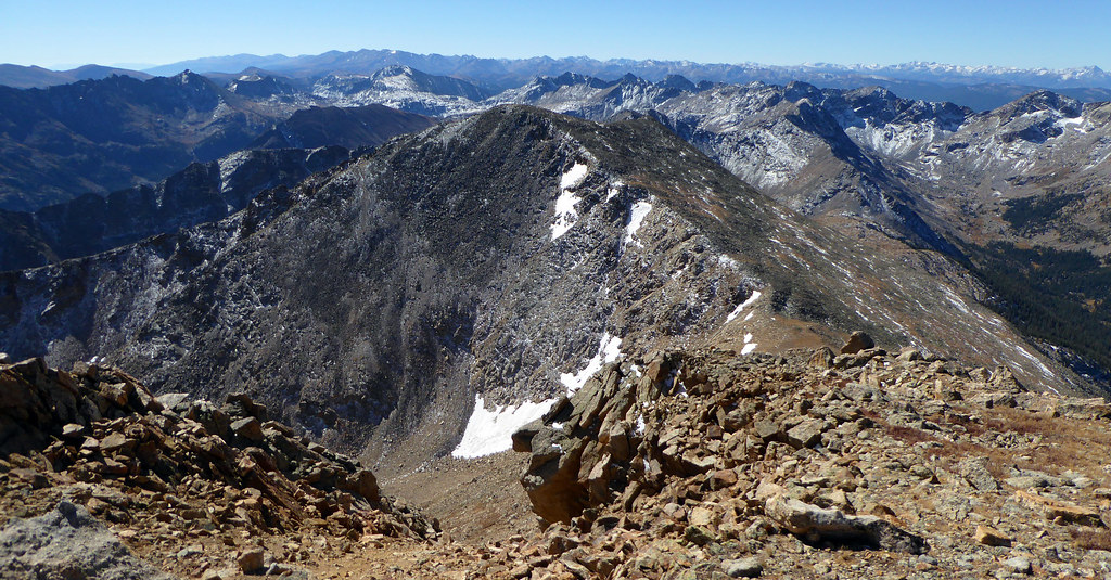
Unnamed 13,433 to the south. A thousand feet of elevation gain from Jackson’s summit is required to tack this puppy on and it certainly makes sense to do so.
Being so far back in there I wasn’t about to leave without adding Jackon’s ranked southern counterpart into the itinerary. After the 10 mile, 5,600 jaunt to the top of peak number one, peak number two felt like it went down rather easily. It didn’t take long to drop 600 ft to the saddle and gain 400 ft to the summit.
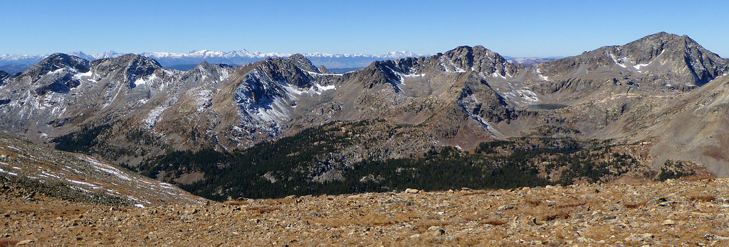
It’s a unique feeling, being really far in there on a day like this. Bluebird sky and complete solitude. I savored the summit of 13,433 for longer than I originally planned. The views from the top of this one are pretty awesome and I wasn’t really in a time crunch per say.
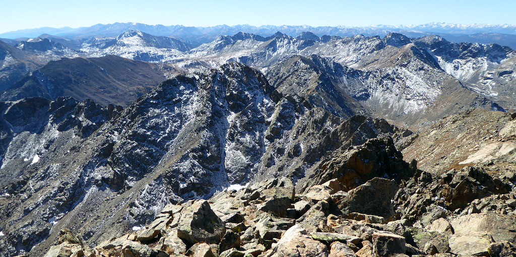
UN 13,433 summit, looking south.
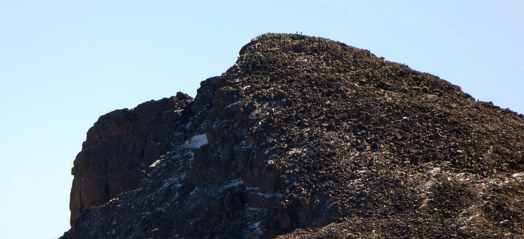
People on the summit of Holy Cross.
Even on the nicest days though, we can only be visitors here. Back up and over Jackson and down the long, gentle ridge line I went. Then down the gully and back to the trail. I had 7 miles to go, and the actual “running” part of the day finally commenced.
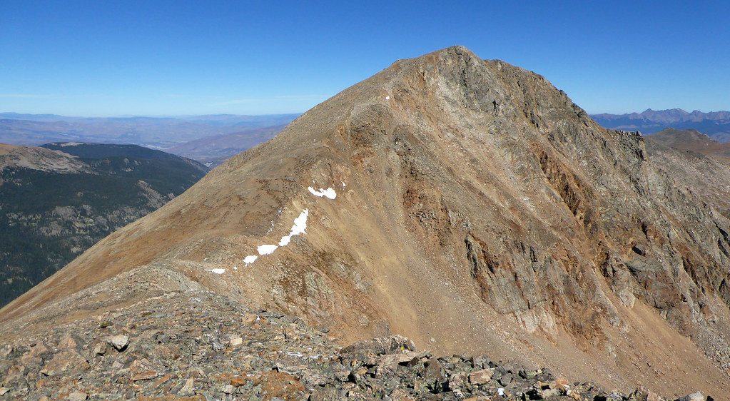
Jackson from 13,433. The return trip requires going up and over Jackson again.
I cruised down the trail back to Beaver Lake and took a moment to soak in the views of those leaves. After all, they were what I really came for.
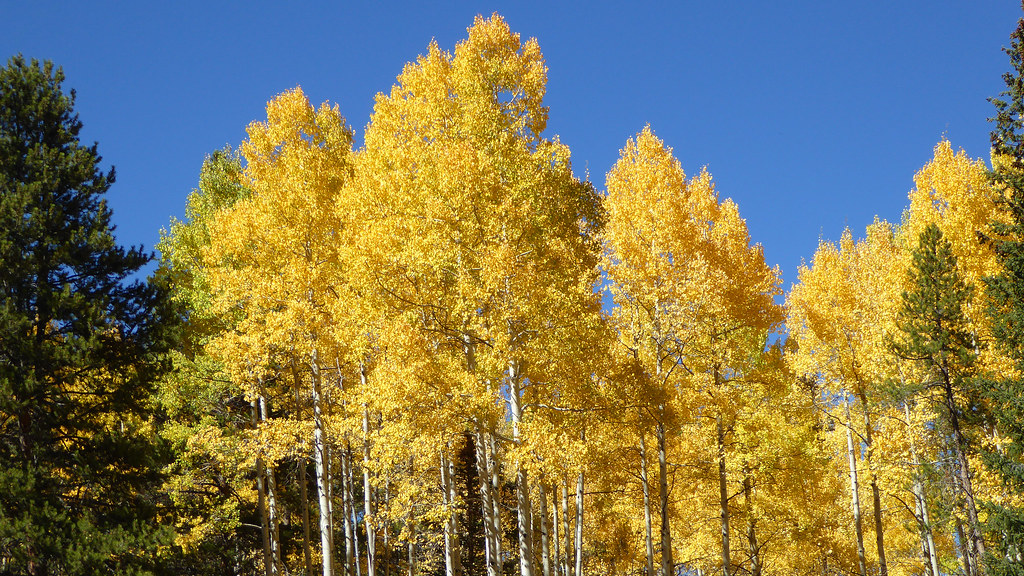
Peep I did.
I coasted the final few miles into Beaver Creek and capped off the day at the Coyote Cafe (post-climb in the parking garage just didn’t seem all that appealing). It’s definitely fall up there. And I’m definitely looking forward to a change of pace and a new season here shortly. Thanks for reading and happy fall ?

That’s a great peak to do as a trail run on the approach to the ridge, Ben! Nice work man. Gorgeous pics to boot. Good luck on your races!
Thanks Brando. I thought about giving you a call before I realized you were probably in Hawaii. One race down, didn’t go as well as I had hoped but I have an opportunity for redemption.

Hope you had a fun time on the beach
Nice jaunt there Ben. Sorry to hear about your first race, but good luck on the next one. Leaf gaping is completely justified when going 5 MPH on a trail – if 5 MPH on a 2-lane road, then you deserve to be caned. Congrats on a great day out. By the way, I had to carry Floyd out from Jacque like a suit case for the last mile last weekend. Start doing your shrugs now and in 10 years you’ll be prepared in case Jax’s legs start giving out.
Hey Scot, thanks man. That’s too bad to hear about Floyd! Sounds like he had a solid run though. I can’t imagine carrying Jax off a peak. He’s a heavy SOB.
Enjoyed the report, as always; After some super early snow (August?!). this has been a truly splendid autumn.
Agreed Steve. Glad to hear you got down south for Lake City round 2 before the real snow starts flying.