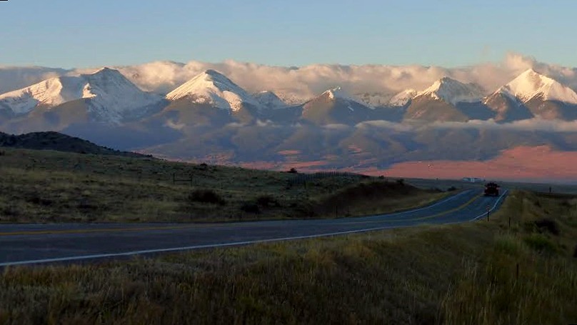
Here’s a view of the range from the Wet Mountain Valley, with Humboldt on the left and Colony Baldy to the right of it.
Saturday, October 24. The forecast called for a perfect autumn day: cloudless and a high of 42 above tree-line, with little to no wind. So Brian and I swung by Highlands Ranch to pick up Ben on our way to the Sangres and to the Horn Creek trailhead for a day hike of Colony Baldy and post-hike bar-b-q. Besides us three, we had Ben’s dog, Jax, a canine alpinist, and my brat, Opus, a cute mutt whose terrier heritage manifested itself in growls in the car and at the trailhead.
Once we got over the pass through the Wet Mountains en route to Westcliff, we were greeted with a spectacular view of the alpenglow on the snow-shrouded peaks, with an inversion lending to the beauty. We now realized that we underestimated the recent snowfall and should have brought gaiters. Oh well, it would be a warm day.
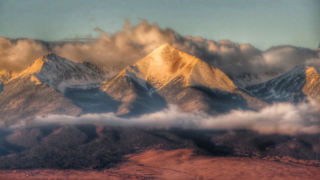
Brian honed in on Horn for a nice zoom shot.
As we didn’t leave Ben’s until 10 minutes or so after 5 and we also made a quick breakfast stop that involved an impulsive and ill-advised consumption of gas station breakfast sandwiches, we did not get an alpine start, but meandered up to the Ranbow trail some time after 8 am. (Luckily, the sandwiches didn’t wreck our innards.)
The Rainbow trail was dry and we hiked about 3.5 miles up until we reached a good spot to launch into the trees. This was roughly a half mile from the Macey Lakes trail junction; just as we rounded a bend and saw Humboldt across the way, we decided we perhaps had gone too far and it was time to tree bash.
The trees were not too dense, and the first several hundred feet were relatively dry, but then quickly progressed from a dusting to six to eight inches of snow. As we got higher, the pines gave way to firs, and we found ourselves in a Christmas tree grove. I reveled in a few slow deep breaths of that fresh forest scent.
Once above the trees, the snow cover diminished quickly. After the hill in the next photo, Colony Baldy’s broad east face steadily funneled into a gentle ridge, and we kept to the left (south), as north looked to be wind-loaded, while the south was generally bare from scouring winds and baking sun. NOAA (perhaps uncharacteristically) had nailed the forecast, and we reveled in a warm sunny day with the lightest of breezes. Opus rejoiced to be out of the trees and the chest-deep snow (he’s a little guy).
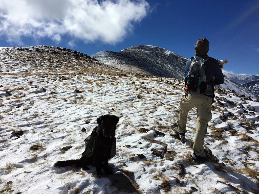
After some more hiking, the lunch bell went off for me. It was 11:20 and we’d been hiking for about three hours. We stopped at this prominent spot on the ridge, with the first false summit in view ahead of us. We took about twenty minutes and then moved along. It would take us another two hours to the top, for a total of roughly 5 hours from the trailhead, but we took this day pretty leisurely.
Ben and Brian were scoping out ski lines; Horn Peak in particular showed a promising south-facing couloir.
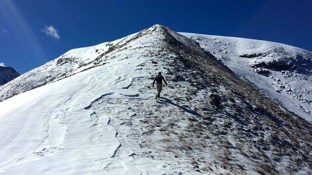
As we moved along and upward, Humboldt’s long east ridge paralleled us to the south, but my gaze was drawn northward, where the rugged profile of Adams and the pyramid-topped ridges of the Horn group beckoned. After a second false summit, I gazed ahead, wondering if I espied the true summit at last, or a third falsie. It would turn out to be the latter, but nothing of consequence, just a mere landing for that final step up the staircase.
Opus and I arrived a couple minutes behind Ben and Jax, and Ben, an attentive owner, was busy getting water for his canine friend. It’s a good thing that Opus wasn’t thirsty, because I bounded around the flat, spacious summit, taking in the views of the Crestones, “Obstruction Peak,” and Kit Carson mountain immediately to the west. You’d think I’d never been to a summit before.
It seems like virtually every peak in the Sangres offers a view of the Crestones. They are monarchs among the peaks of this magical range that rises like the colossal skeleton of some prehistoric monster from the surrounding flats. I’ve glimpsed them from afar: northward from the Sierra Blanca, southward from Rito Alto, Eureka, and the many peaks in between. I’ve stared at them up close and personal: westward from Humboldt and southward from Kit Carson. But the best view I’ve had of Crestone Peak was from Colony Baldy. You can see all the rock fangs leading from the Needle to the Peak, as well as the Peak’s menacing north face.
We all snapped many photos, and no photo can capture the glory of being there. But Ben managed a great zoom of the Crestones, and Brian shared a skillful panorama.
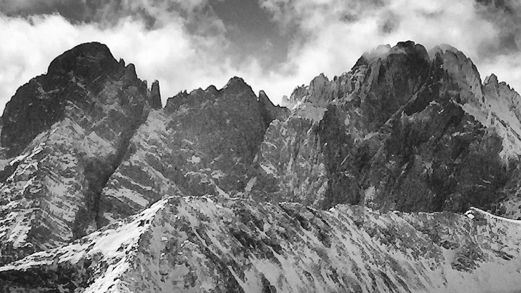
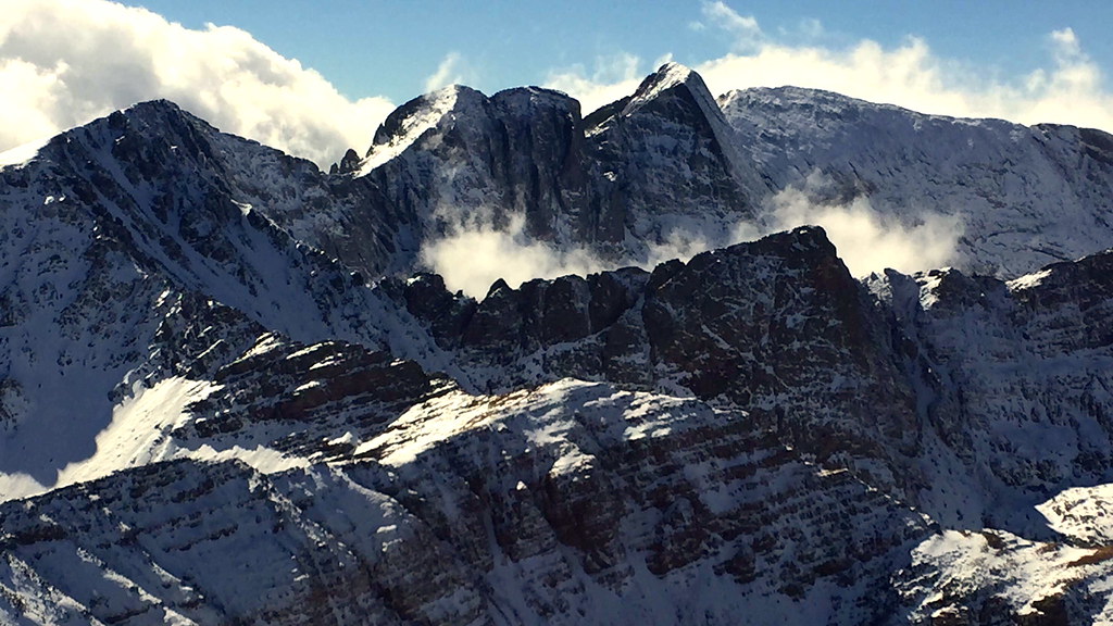
I gaped more than a herd of gapers at the Crestones and tried to retrace some of my footsteps with my eyes, as I’ve done each peak twice: first, Crestone’s north buttress, later the Needle’s standard route, finally Crestone’s standard route and the traverse to the Needle. Mainly, I tried to figure out where I went astray in Juily 2007, with my adventurous attempt to traverse high from Needle to Peak. The clouds rolled in low, limiting visibility to thirty yards, and I managed a rough down climb of a gully, meaning to hit the saddle east of the North Buttress but somehow wandering northward into a valley that was not South Colony basin. Neither of the two valleys I looked into matched my recollection. Turning northward from those crags and memories, I reveled in a new vantage of the Kit Carson massif:
We took our time to enjoy this summit and didn’t leave until 2:20 or shortly after. Part of this might have been that Brian and I had both packed a summit beer: Isolation Ale. Ben, on the contrary, had steadfastly refused to tote his, leaving it for the post-hike festivities.
We conferred as to whether to follow our tracks back down, or instead look for the northeast branch from the lower ridge to shave a bit of mileage and (hopefully) time. We opted for the latter, which suited me well, as I instinctively prefer loops to out-and-backs, covering new ground.
Going down went very quickly, as we plunge-stepped heedlessly down the slopes, unworried about wet socks in the warm afternoon sun. Progressing on the more northerly side of the ridge, I enjoyed the ripples of sastrugi.
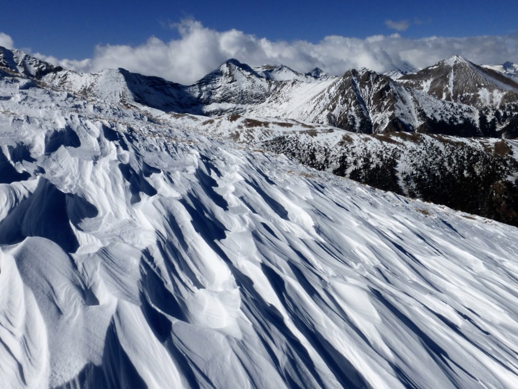
Once we reached the junction for the northeast ridge spur, we found it to be rockier, more snow-loaded, and steeper than the due-east spur that we had taken up. Also, the trees were denser, so, while it made for a decent descent, I think our longer time on the Rainbow Trail led to a faster and easier ascent than if we had split at the Macey Lakes junction or somewhere between there and our spot of departure.
But before we got into the woods proper, we found some twisted krumholz monuments, testaments to what Life can dare and defy – if only for a time.
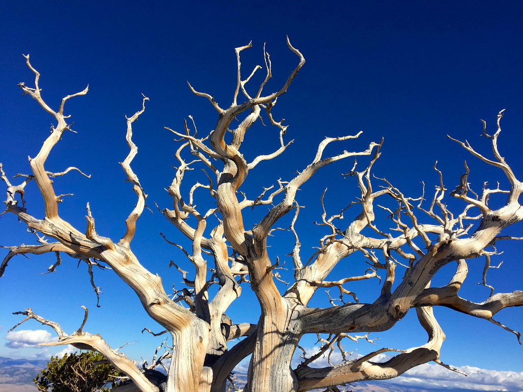
After negotiating some steep snow slopes through dense trees (spending a bit of time on my backside, not of my own volition), we reached the Rainbow trail just about a quarter mile from the Macey Lakes trail junction. We got back to the car around five and commenced our post-hike beers and brats.
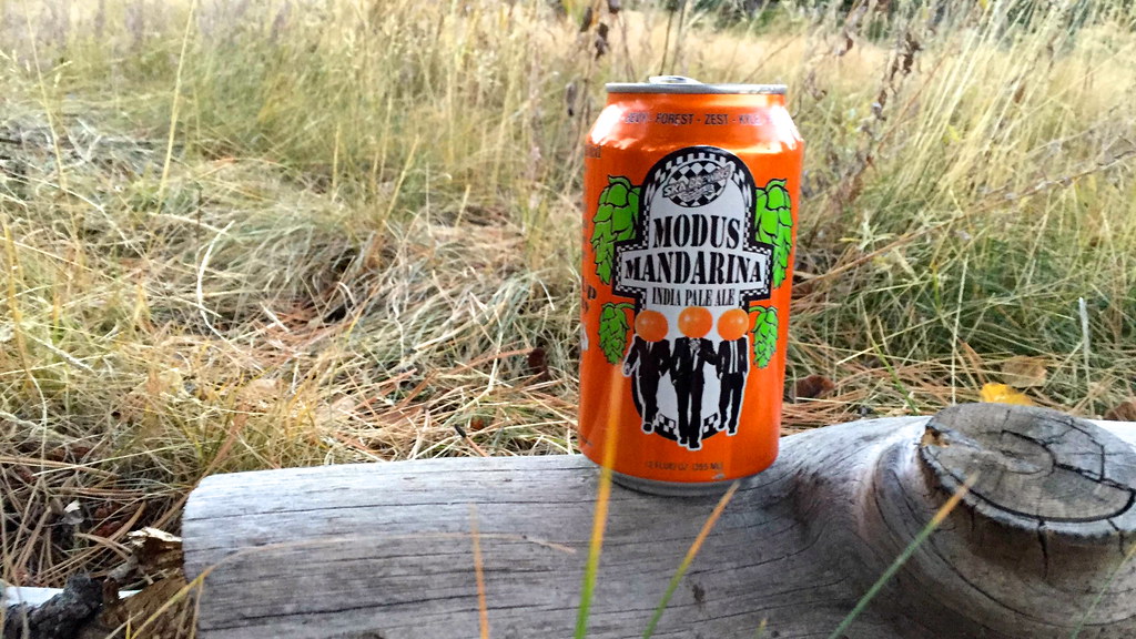
The Modus was courtesy of Ben: besides the regular Hoperandi, we had this orange-infused version. Too bad Brian’s playlist didn’t have Zeppelin’s “Tangerine Dream” on it.
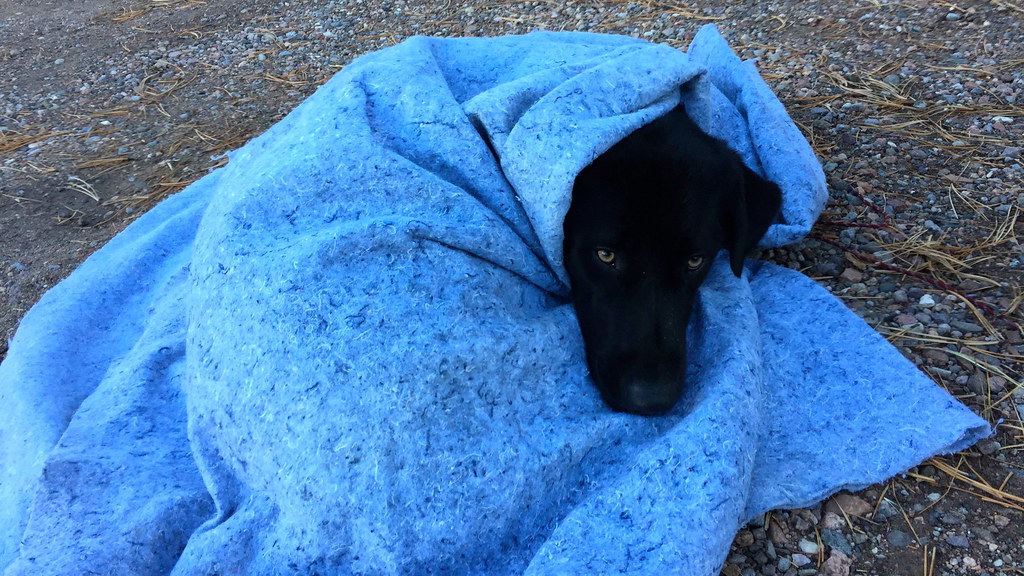
Opus was busy trying to get as much human food as he could, and made off with a spare hotdog bun. Jax, meanwhile, was done and ready for doggy dreams:
While we were eating, a group of eight or so came down to the trailhead, dispersed to their three vehicles and headed home. They’d been to the Macey Lakes and we’d passed them at the junction on the way down. The joy of the solitude of the shoulder seasons!
We returned to Denver contentedly from a relaxing and breathtaking day in the Sangre de Cristos.

Nice TR Steve and recap of a fine Sangre slog. All that’s missing is that “Autumn Wind” Raiders theme song from NFL Films playing as background music.
I like your colorful, almost poetic writing style. Freshens things up a bit 🙂
Thanks, Ben! It was a great outing.
Sounds like the Autumn Wind inspired you throughout this TR Steve. A poetic POMRanian. I’m just glad I didn’t partake in that gas station breakfast sandwich extravaganza.
You sure about that Brian? I seem to recall there being three sandwiches in the car and I know neither Steve nor I ate more than one of them for fear of going into cardiac arrest…
Loops vs. Out-And-Back. When snow is involved, always go with the out-and-back. Enjoyable read and that picture of the Kit Carson massif is something special.
Nice, Steve. Great prose and pics. That line off Horn does look like a good skier’s line. One of the N facing coulies on Little Horn across the valley is good too. The intrepid could do a 2-fer.
Ben – you are off again doing a great hike and Jax looks content – Crestones are indeed amazing and do you plan to ski that couloir . FAJA