9.12.2015 – 9.13.2015
Partners:
Craig Burger
Mike Rodenak
Peaks:
West Deming Elev 12,736 ft CO Rank 834 (Attempt #1)
Deming Mountain Elev 12,902 ft CO Rank 713 (Attempt #3)
Peak Q Elev 13,230 ft CO Rank 455 (Attempt #3)
8.21.2009 Peak Q Attempt #1
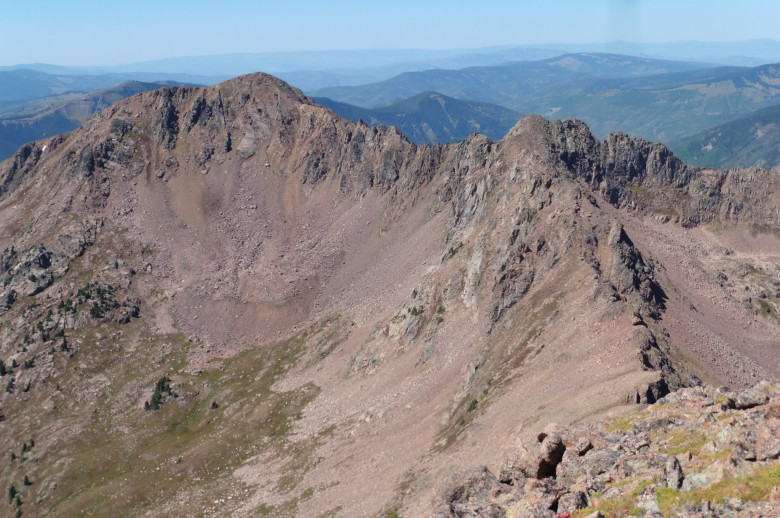
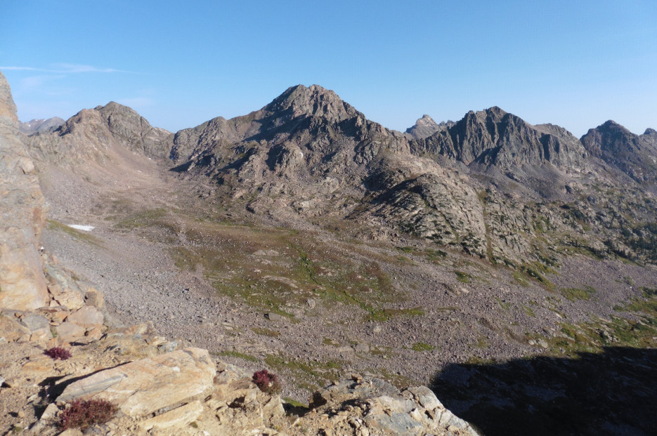
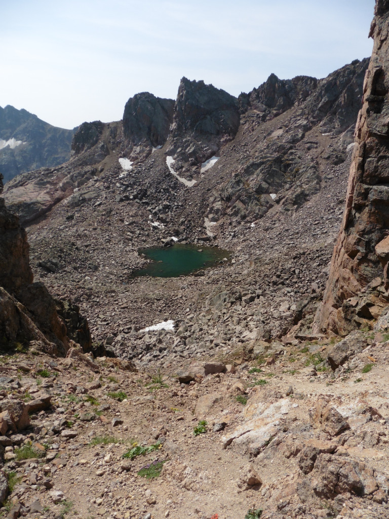
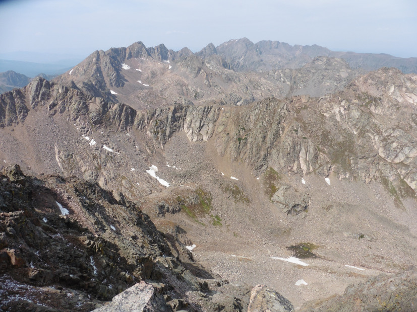
The TR can be found here but, long story short, a side trip up Keller before packing into Slate Lake is not recommended. This trip was also before Cooper’s Scrambles Book increased the popularity of the basin so I couldn’t find any resemblance of a trail beyond Upper Slate Lake. It was Gore bushwhacking at its purest. Regardless, I was spent after somehow making it up R & S. I did, however, manage to get close enough of the peak to take this picture:
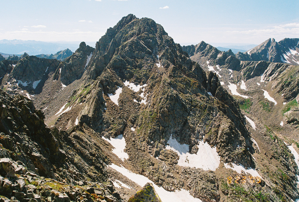
This image would haunt me for the next 6 years.
Afterwards, Peak Q became a sort of quiet obsession of mine. It’s rugged, remote, and beautiful. Unbelievably, it’s not even my favorite peak in the basin as Peak L still ranks higher for the climbing quality, but Peak Q is everything that is great about a mountain.
1.10.2010 Deming Mountain Attempt #1
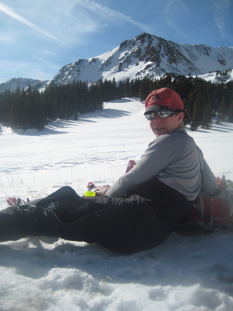
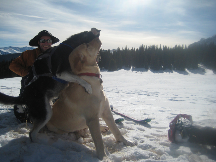
This one didn’t get too far off the ground before we knew it was doomed as we didn’t think Eccles Pass would allow safe passage this day. But, we made the most of it though as Craig, Colin, and I had a great afternoon lounging in the winter sun for a few hours while the dogs wrestled.
08.25.2011 Deming Mountain Attempt #2
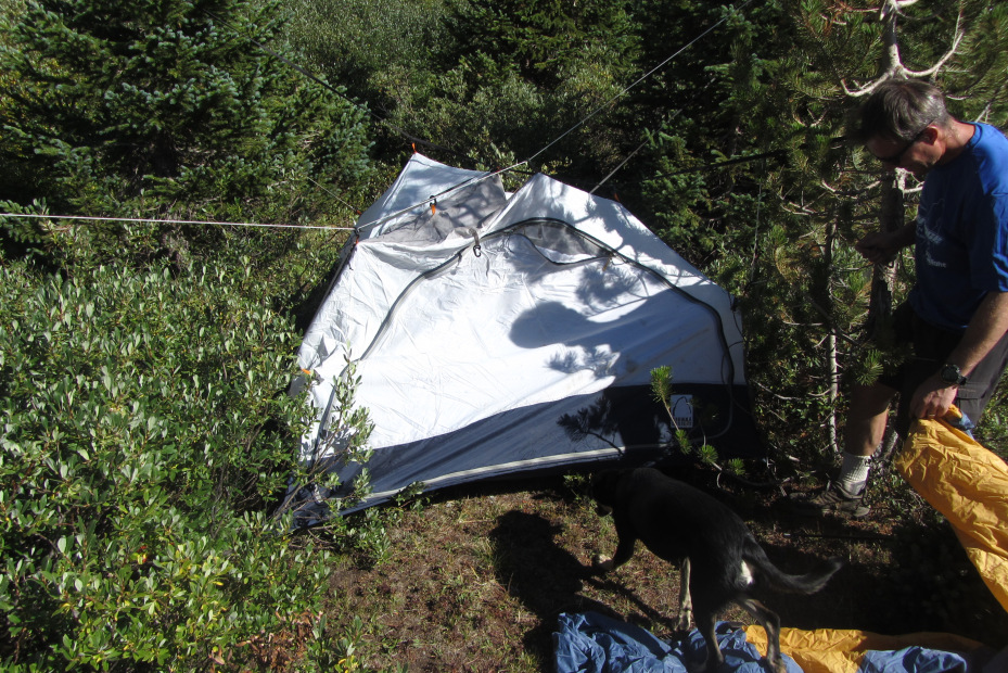
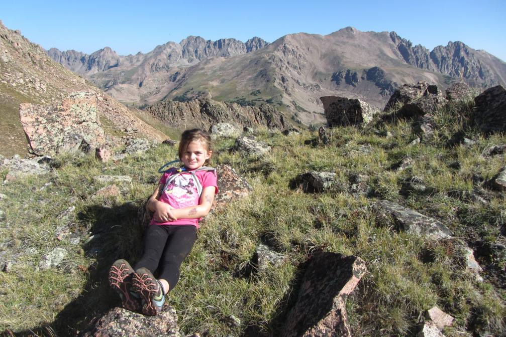
I’ve documented several of my excursions with my daughter. This one didn’t make it to the interwebs though as we came up about 200 feet short of the summit. Maybe I should have pushed her, but she’s still hiking with me, so maybe I made the right decision. Anyways, the trip wasn’t short of its moments since Craig forgot to pack his tent poles. We improvised with twine for the bear hang and our dog leashes – and I think we even surprised ourselves with the outcome. Keep in mind, this was with his 1 year-old who not-surprisingly didn’t get any sleep that night which thwarted any hope he had of a summit attempt.
09.10.2011 Peak Q Attempt #2
Brian’s TR can be found here but this one was beyond frustrating for me. Brian/Mike swore they found an alternative route from the west side. It required a frozen downward sloping mud traverse that lacked any reasonable hand-holds and a fall would have been fatal. I think of myself with greater than average risk tolerance but this was a no-go for me. Hey, at least I could say I climbed 13,130 feet of the 13,230 foot mountain. My only regret from this attempt was not climbing Pogo Pinnacle since I was at its base. I guess I have one other as I forgot all lessons learned about the mountain’s make-up this past weekend, but more on that later.
9.12.2015 Deming Mountain Attempt #3 (Successful)
Pictures of the West Deming – Deming ridge have piqued my curiosity recently. Gore ridge runs are a thing of legend and I couldn’t find any info on this particular route so I don’t think there needs to be any further elaboration on why I wanted to try it. West Deming is one of those mountains that is simply “on the list” for Gore enthusiasts. It’s a steep grunt (3k of vert in about 2.5 miles) from the shoulder of I70. It wasn’t high on my to-do list, but when you throw in an unknown ridge, it became more enticing. Plus, hopefully we could knock it out quickly without expending too much energy for the weekend’s main course.
Craig and I planned to meet at the Meadow Creek TH at 5:30, leave a car there, and then venture over to the base of West Deming. I got there 30 minutes early when the phone rang. Craig fell asleep making his breakfast and was running about 1:30 late. I was glad to have left my car camping pad/bag in my car from the previous weekend which allowed me to get a couple of hours of quality sleep before he showed. With a 0% chance of precip for the entire weekend’s 48 hours, I had little concern about the delayed start and called Mike to let him know we’d be running late.
The grunt up West Deming is just that and we hit the summit about 2 hours after leaving the car. After soaking in the views and studying the ridge for about 30 minutes, we set off for Deming.
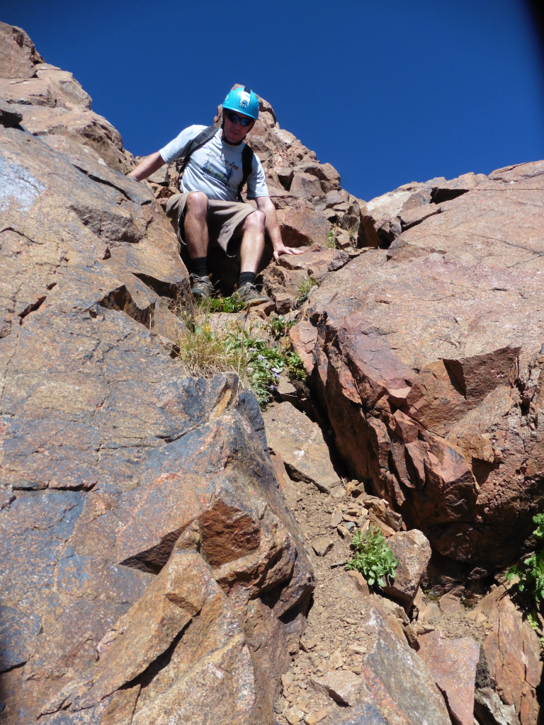
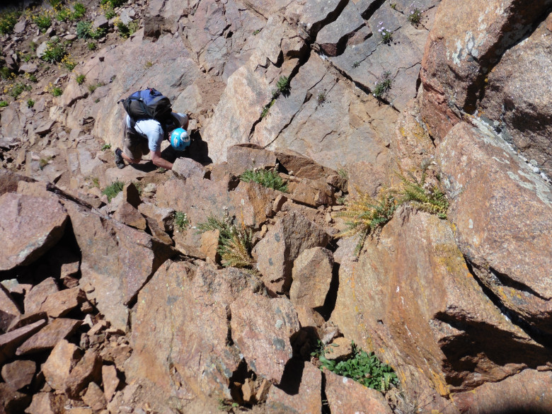
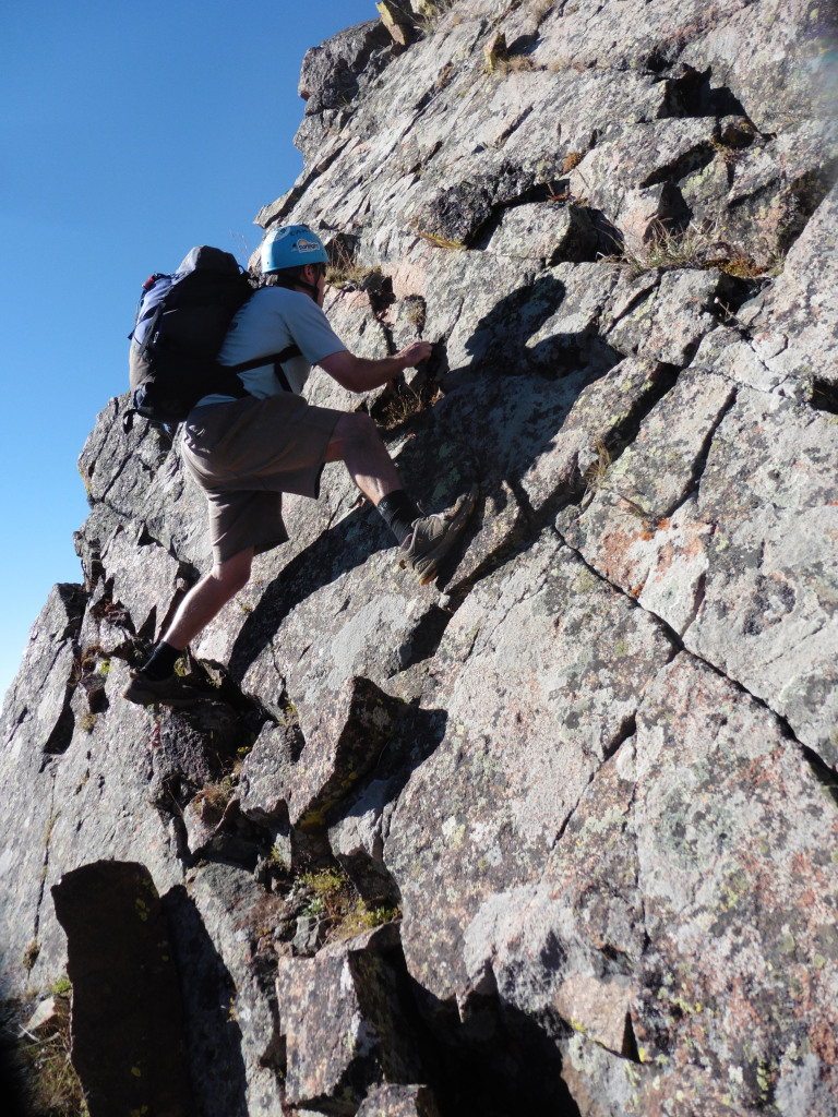
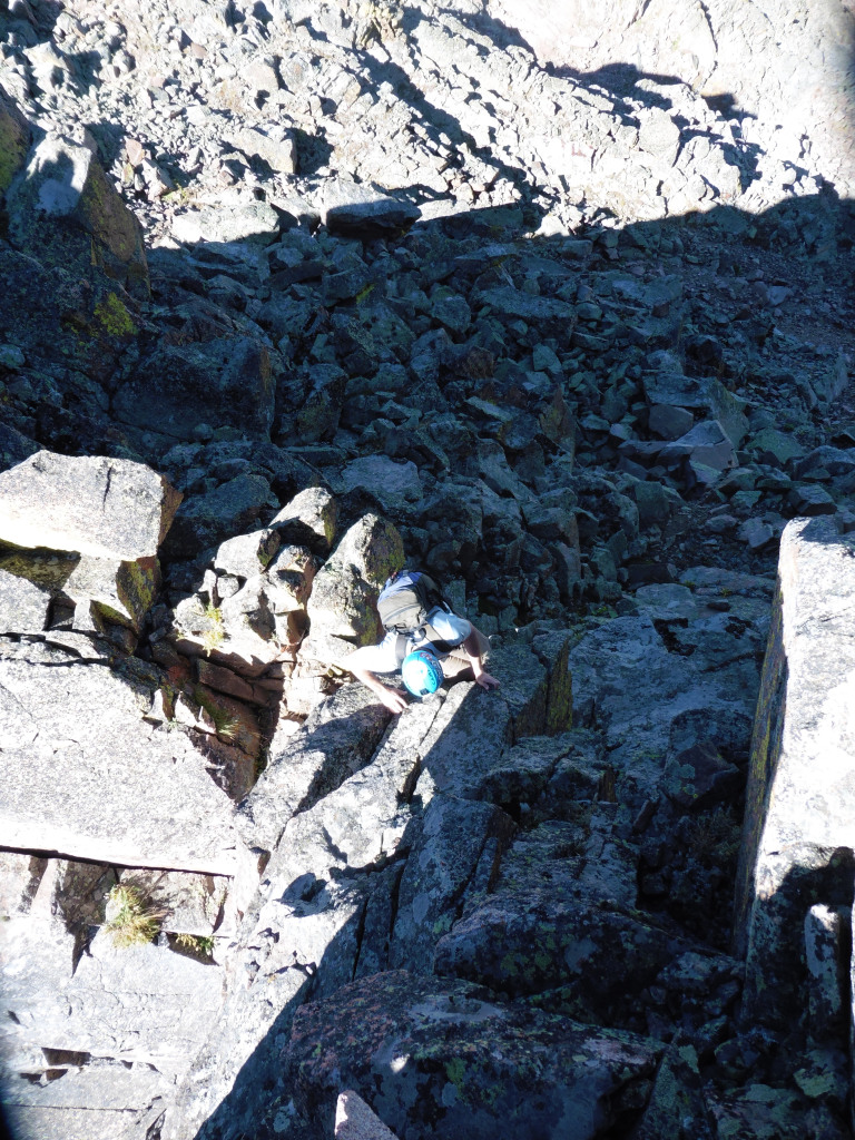
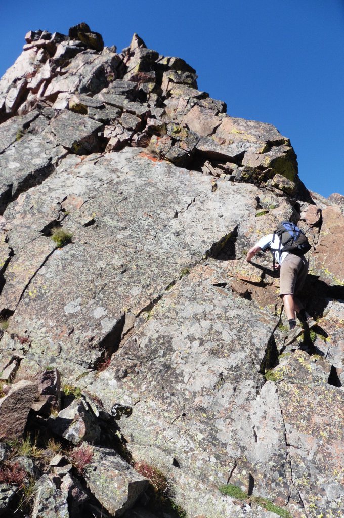
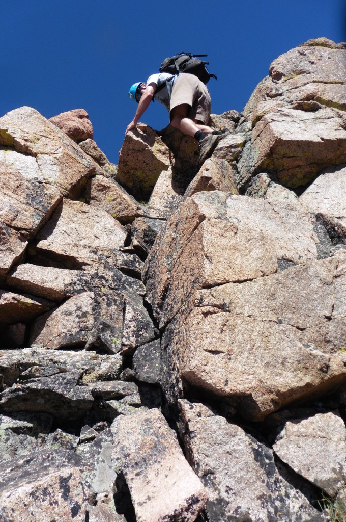
I knew the west ridge up to Deming from Seldom Pass went from a TR by Gore Galore, but I was surprised that it was just a steep grass slope. Oh well, we had a good bit of ridge in front of us before we got down to the saddle. If anyone is interested in this pair, I highly recommend going from Deming to West Deming. Aside from the initial drop onto the ridge from West, which was loose and nasty, we stayed as true to the ridge as possible and it holds a lot of enjoyable, solid class 3-4 climbing – you know… typical Gore stuff. Unfortunately, we downclimbed the best portions and – if done in the opposite direction – the finish to West Deming would have been a classic slab climb, It looked a bit much to downclimb without knowing the landing situation though.
A few hero shots of Craig…
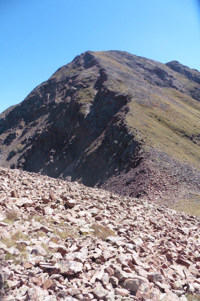
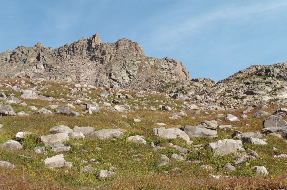
Once at Seldom Pass, we stared up at the 800 feet of grass to get to Deming. Oh well, when you go for the unknown, you have to take the good with the bad (which was a lesson to be learned again the following day).
We high tailed it down the Meadow Creek Trail and found Mike resting at the trailhead after his morning volunteering with the Forest Service. There was one odd occurrence on the way out though. A hunter in full camo/orange regalia was heading up trail carrying a bright orange plastic sled under his arm (The kind that you get for $5 at King Soopers). Our best guess was he was using it to pack out a kill, but I can’t imagine that sled is going to help much with that trail. It would have been fun to sit around and wait for the culmination of that mission but we had more pressing issues to tend to – like a gargantuan at Jimmy Johns to refuel for the pack into Pitkin Lake.
9.13.2015 Peak Q Attempt #3 (Successful)
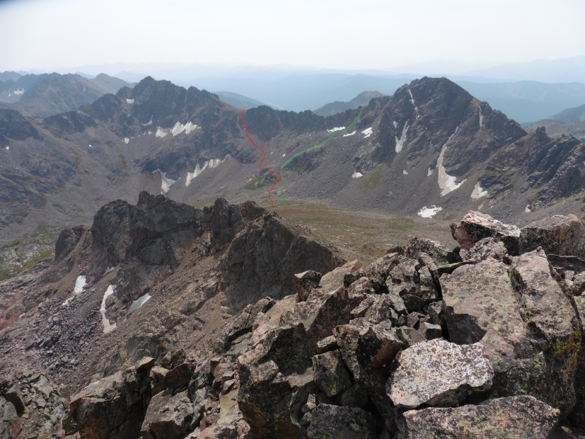
The alarm went off at 5:30 but there was a collective snooze until around 6:30 when we finally got out of our tents. That perfect forecast made it even more difficult to breach our warm bags for the brisk pre-dawn air. On the same recon trip where Mike found the downward sloping ledge on Q, he also found a pass to get from Pitkin to South Slate Basin. Mike doesn’t drink, but I think Brian slipped something in his nalgene on that particular day. The Pitkin side was a nice grass slope. The South Slate side, well, if you like 800 feet of steep hardpan, then you got yourself a route.
Over an hour after dropping into the most heinous gully I’ve ever descended, we reconvened in the beautifully lush upper portions of South Slate Creek. Mike’s goal was Peak S as it would finish off the Eagles Nest Wilderness list for him. Craig had climbed Q before so he was more or less along for the fun of it. So, I would be solo approaching one of the hardest mountains in the state with only my eyes to guide me. I would earn my Masters in route-finding this day, but not without first failing the mid-term exam. Four-years earlier, I stood on the south shoulder of Q staring down at the abyss that was the South Slate drainage and made a mental note to descend all the way to the base of the valley before going up that side. The night before at camp I noted the same when looking at the map. Then, it came time to climb the mountain and I gave into the temptation of a grass ramp that seemed to lead directly to Q’s east ridge above the saddle with R. So, up I went.
I was confident. I honestly felt I solved the riddle that was Peak Q. Thinking I had it in the bag, I was already figuring out how to meet the guys on R. Then, I hit the ridge and…
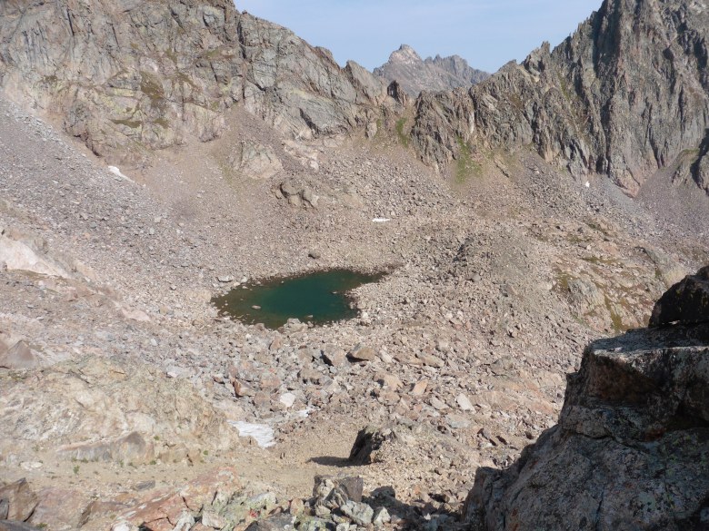
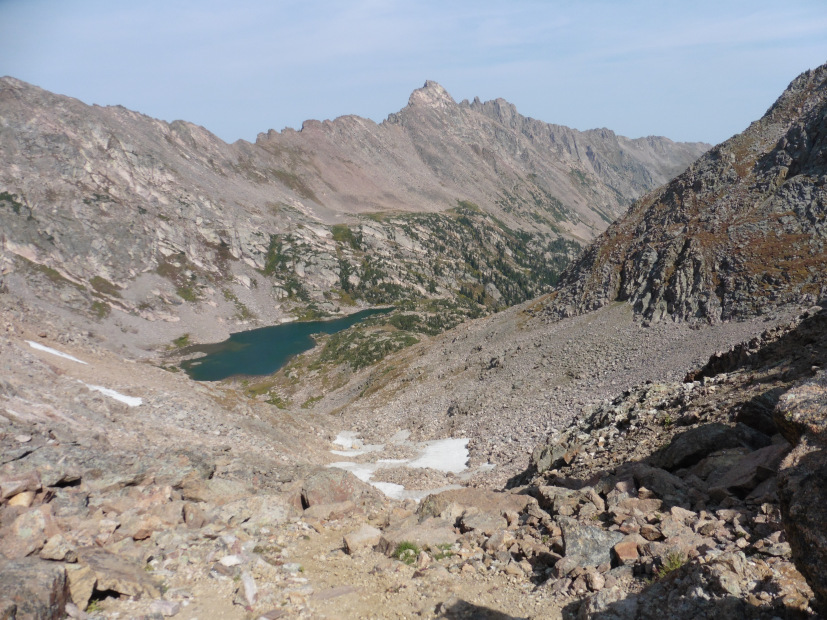
Desensitized to scree gullies from the morning’s previous snafu, I slid down to the small tarn and made my way up the grass to the saddle. Now, that cost me about a half an hour, but I was now staring down to the familiar landscape of Slate Basin. It’s amazing how comforting a familiar view can be even though you know that it’s still 13 miles the nearest trailhead which was another hour drive from where you parked.
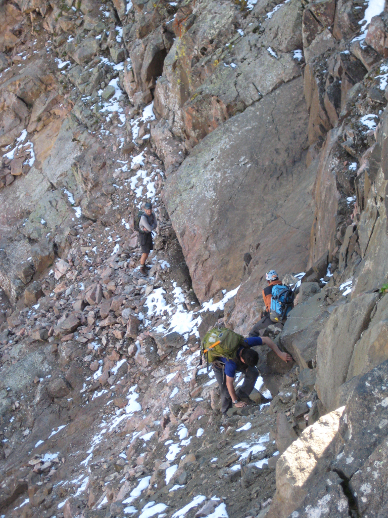
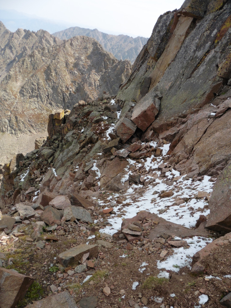
Now, all that was left was to piece together the standard route from memory. I neglected to study the route immediately before this trip because I’ve researched it numerous times in the past and read several trip reports over the years. That, and I had given myself about a 30% chance of being as successful as I had been so far. The route seemed somewhat intuitive and I found a couple of cairns to lead my way. But, just so this mountain would remind me that it wasn’t going down without a fight, some of the ledges were holding snow and ice. At least a fall here would have only been painful and not deadly like the one that turned me back on my previous trip. I already had tremendous respect for this mountain and it continued to throw every scenario at me.
The upper portions of Q are something to experience to truly appreciate. I didn’t find the 4th class chimney to be all that daunting in either direction, but that knife edge will get your attention if you are at all squeamish to exposure. I missed the bypass to the south of the 2nd knife edge leading to the summit block. So, I rode the ridge all the way home. It required a step around move leaving me wondering how anyone under 6 foot tall could do the route. I (literally) said a prayer on the summit for guidance and help getting back across it. When I opened my eyes and turned to descend, the easy bypass became all too evident.
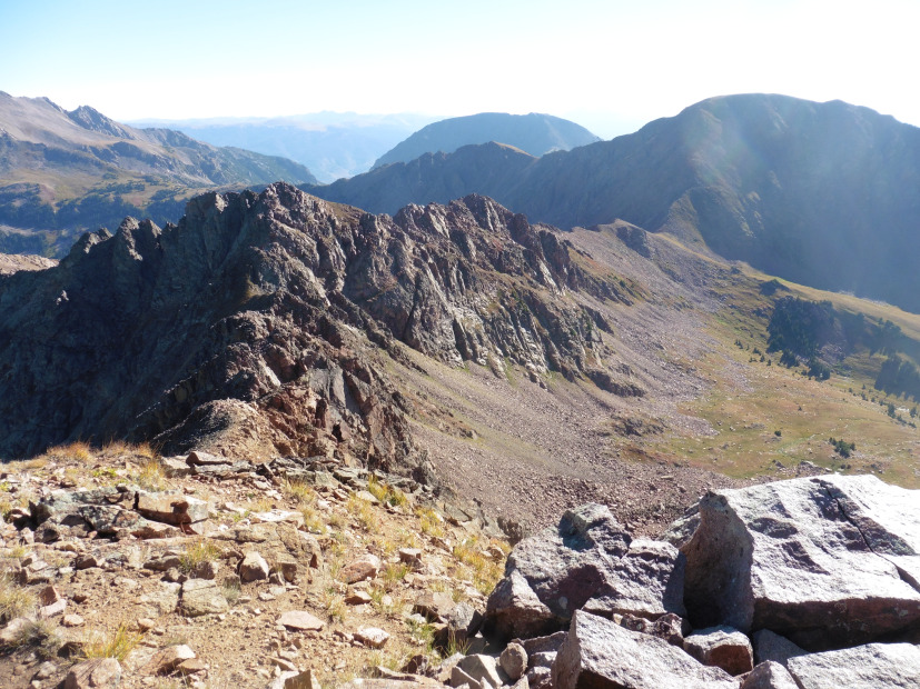
Of course, I didn’t leave without documenting the views,
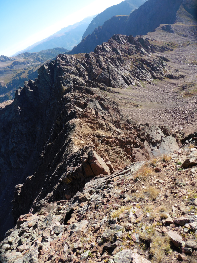
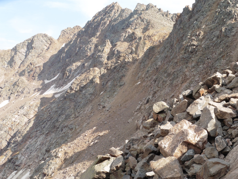
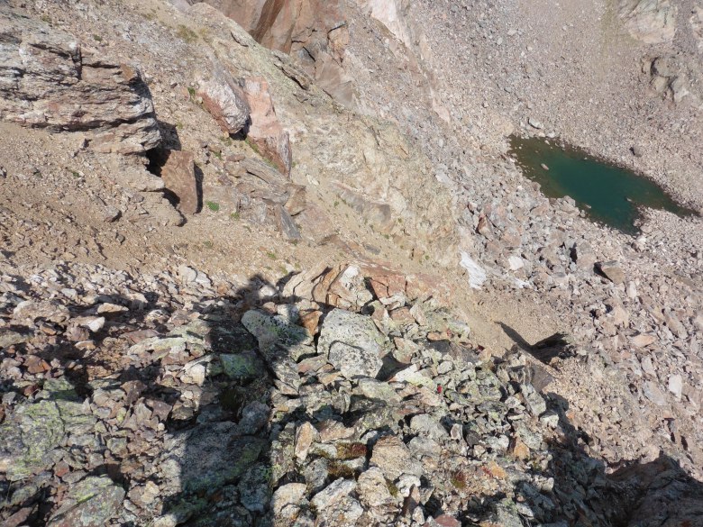
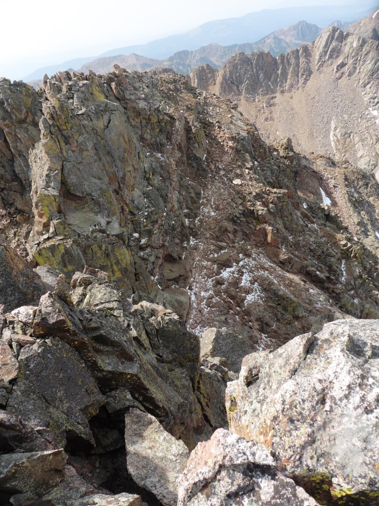
and peering down on the ledge that prompted my return and caused all the work this day and the last four years of frustration.
Now, all that was left was to retrace all of my steps – minus the up-and-over on the southern arm. So, down I went. The descent off the south side of the R-Q saddle is actually quite smooth and I followed grass all the way to the base of the arm that interrupted my morning. I traversed back to the west at around 12,000 feet and found Mike standing on a boulder in the same place that I left him a few hours earlier. I thought I would have timed up fairly well with them, but they skipped R seeing my route finding mistake from below. They were successful on S and, seeing my ascent route from the east, thought I may have found myself at the P-Q saddle again. If that was the case, they (correctly) assumed I would be in beyond nerd-rage status. Luckily, I was only about a half an hour behind them though. Meanwhile, they had scouted a better path to get back over the ridge. There is a large rock outcropping that guides you about two-thirds the way up that side of the ridge. It’s a solid, slabby walk-up to about 200 feet below the ridge crest when it becomes a loose mess. 200 feet of loose talus felt like heaven compared to the thought of reascending what we came down earlier in the day.
We made it back to camp at 5:00, 10 hours after leaving that morning. I was tired, but, as we left camp, I had new life with a trail under my feet again. The hike out was a near sprint and we made it back to the car in about 1:45. The Wendy’s in Dillon must have thought a bus pulled into the drive-thru, but it was just me trying to replace a few of the calories I spent.
Another one in the books, and I don’t want Mike’s accomplishment to go understated. Finishing the Eagles Nest Wilderness list is no small feat. Congratulations to him and I had a heck of a lot of fun exploring some of the more remote portions of the area with him on his journey.
Thanks for reading.




Scot, this is a great report, man. You ETR folks are churning these solid TRs out faster than I can read em! Great stories on the previous attempts and congrats non getting that “monkey” Q off your back! Fantastic!
Sometimes you get quality and quantity. Thanks for the comment Brandon.
Good stuff Scot, thanks for posting. And congrats on Deming and Q! Isn’t it funny how certain peaks that others get on their first try can become a nemesis for you, then peaks you get on your first try can become a nemesis for someone else. Sure feels good to finally knock a nemesis down when you’ve got one, that’s for sure.
Peaks Q and L are my top two priorities for next summer. This TR, along with all the others and continuous talk about Slate Lake from those who have been there have finally done it. I can’t wait any longer!
P.s. Congrats to Mike for finishing the EN Wilderness. That’s a great accomplishment.
Ben, I know it’s been beaten to death, but you need to get in there ASAP. I was thinking that there needs to be 2 such incredible mountains back there or no one would ever brave that approach. It’s not to be taken lightly. Don’t forget the 12ers either. K and R, in particular, hold their own with the big guys.
Scot – when did anyone ever say the terrain below the Partners was enjoyable? What’s worse : descending 800 feet of hardpan or ascending 800 feet of knee deep unconsolidated October snow?
While always a pleasure, it must’ve been kind of weird viewing L from a vantage point that did not involve any time in Slate Basin. The 2 just seem synonymous. When I die, I hope someone spreads my ashes from the summit of that fine peak, staking my claim as the eternal sentinel of the Gores.
Did you get the Triple Baconator? Only way to celebrate a solo venture up a peak like Q after 5 years of waiting if you ask me. And I would expect nothing less from you and Craig re: forgetting tent poles. That’s classic.
No one ever said enjoyable, but I was hoping it would it least be reasonably passable. The trip reminded my why that place is so special but, to be perfectly honest, I was a LOT happier walking out the Pitkin trail.
There wasn’t a Baconator but there may or may not have been a double accompanied by a Spicy Chicken Asiago large value meal with a tub of strawberry lemonade. And, to set the record straight, my tent on that trip was structurally sound.
“No thank you…” It’s funny, your face is pretty much a blur in that pic but I swear I can see your expression (or at least imagine it). Glad you hear you were successful on Q! Loved reading all the back stories leading up to this. Great stuff. Oh, and forgetting tent poles would be awful, but with a barely-toddler thrown into the mix? Good lord… Nice report Scot, made me laugh and smile as your TR’s usually do. Sorry we won’t be seeing you and Helmet this weekend. Hope you have an awesome time.
Sarah – I think you’re looking at Knapp wondering what’s taking everyone so long. I was behind the camera soiling myself contemplating my fate. Sorry you missed out on RMNP, it was a great time.
Glad this trip worked out this year after our past delays! The pic of the infamous Q ledge is worse than I remember it being, haha. I think our descent of the nasty gully off the Partner ridge was actually better than it was when Brian and I went up it with unconsolidated snow. The rock ribs on the side were at least reasonable.
As for the ENW finisher, it was a fantastic journey, and I am happy to continue exploring the area for a long time. Maybe I will get a photo tribute together for the journey, I never managed to do that for HCW.
Mike, thanks (I think) for coming up with the Pitkin idea and congrats again on the finisher! I can’t imagine what you and Brian were thinking on that October day. That trip seems utterly ridiculous.
Nice report, Scot. That’s a cool way to do Q. When we were back there last summer we met a soloist who had come up that way. After seeing almost no one for 13 miles in, it was quite the surprise. We had like, 10 people on the summit, which we suspected might be some sort of Gore record (not that it matters).
But congrats on the nemesis. Like Benny said, it’s funny how some are just hard to get. Makes it all the sweeter when you do. Q is quite the prize for something like that. And congrats to Mike on the finish. Good work all around.
Oh….and depending on what sort of animal that hunter was going after, I wish him nothing but rugged trails, jagged terrain, and completely impassable Gore bushwhacking for that sled. Anyone dumb enough to haul that back there without snow deserves what he gets.
Zambo, I wonder who that soloist was? Anyone coming up from that side is definitely driven. Craig and I exchanged odd stares as that hunter walked by. I’m still confused.