
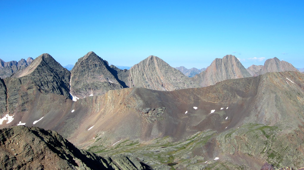
Working our way west off the summit of White Dome towards Peak One with Arrow, Vestal, and the Trinities behind. Click all photos to enlarge.
…continued from Part II…
After summiting Mt. Silex and The Guardian, Steve and I returned to our camp and packed up under darkening late-morning skies. We worked our way out Leviathan Creek and up the Vallecito drainage to a nice campsite just off the trail around 11,500 ft to the north of a few prominent waterfalls. Tired but happy to be nearing the finish line of our trip, we set up camp under a nice sunset and cooked up some grub before trading it in a tad earlier than we had in nights previous. I’m not sure about Steve but I was pretty tanked at this point and ready to get over Hunchback and down to Silverton for a much anticipated beer and meal.
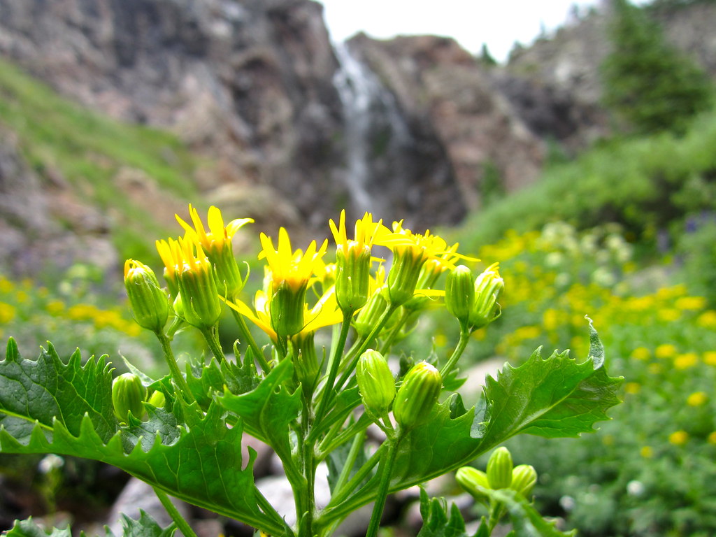
Lush vegetation seen along our trek out of Leviathan Creek drainage.
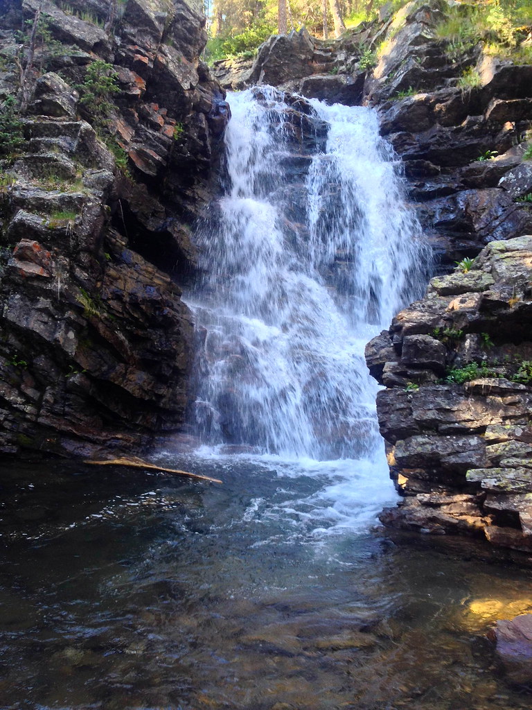
Waterfall and pool near in Vallecito Creek.
Day 5: Hunchback Mountain, White Dome, Peak One, and the deproach
Before we were going to allow ourselves the aforementioned luxuries however, we decided to throw one final objective into the mix – a set of three 13ers extending west from Hunchback Pass which we knew would add a definitive exclamation point to our trip. An early wake up call in the morning had us packed up before sunrise and heading for the pass.
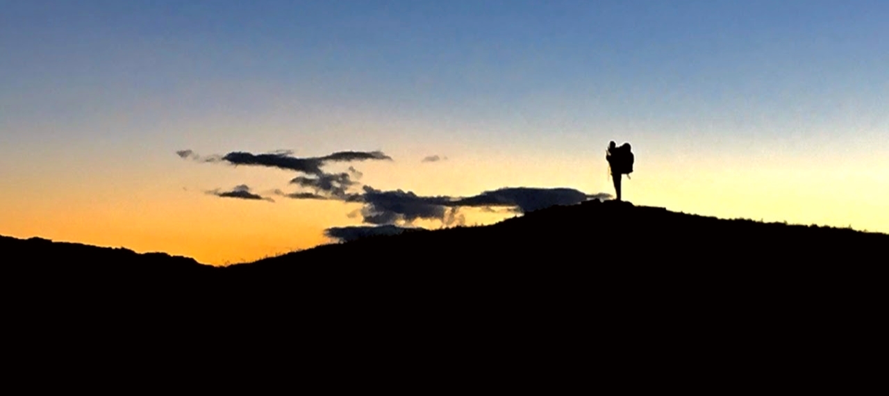
5am the next morning and an incredible sunrise from Hunchback Pass.
We dropped our packs, taking the extra time to rig up some webbing and hang them over cliff to avoid any more unwanted marmot visitations. From there we took advantage of the benefits brought on by 4 days of acclimation and peakbagging, summiting Hunchback mountain in about 25 minutes from the pass. From there we could see the the ridge run over to White Dome and beyond.
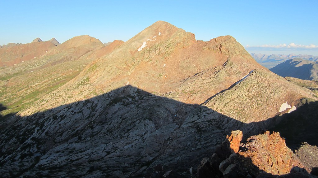
White Dome and Peak One behind it back left. Most of the contouring return route we used to get back to Hunchback Pass can be seen lower left in this photo.
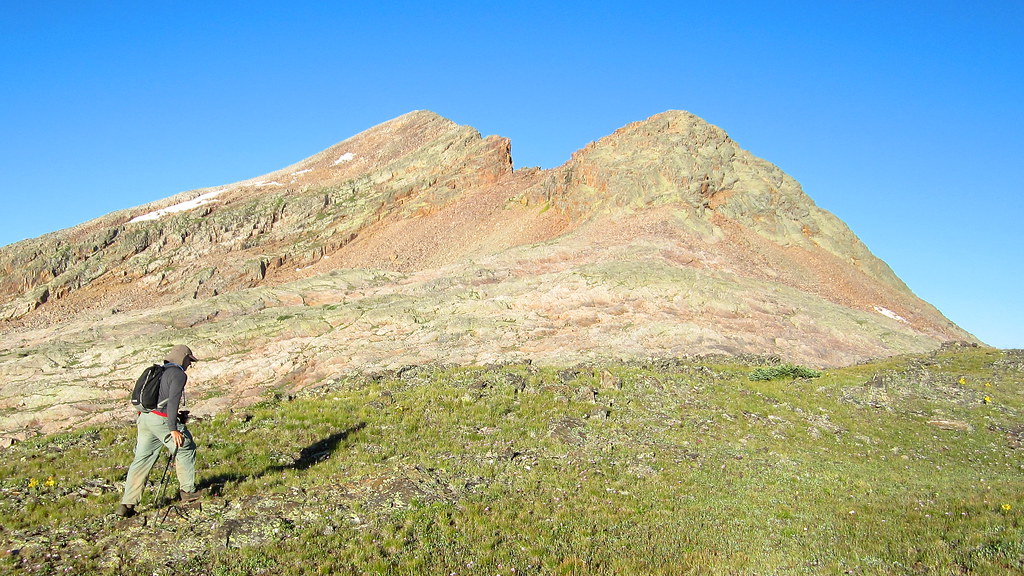
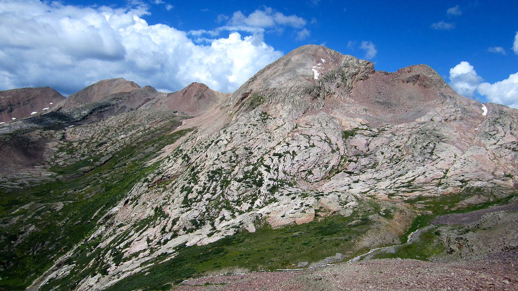
White Dome’s double summit seen from the low point between Hunchback and White Dome.
After discussing all the peaks we hit on this trip, we lumped White Dome in the top half, mainly because of the fun series of scramble sections we found en route to its summit. The rock was solid through these sections and a few moves were interesting to figure out.
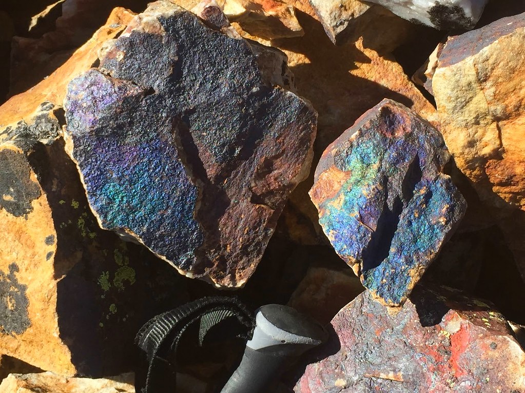
Interesting “petroleum” rocks.
From the top of White Dome we made our way down its west ridge, which entailed a few loose down climbs and some more precarious ridge scrambling than either of us were expecting. Up and down a few humps and we had Peak One in our sights, not to be denied our 12th peak of the trip.
We topped out on Peak One and exchanged high fives. I’ve said it in the past but trips like this have a way of creating a certain level of anxiety, if for no other reason than we seemingly get the opportunity for such outings so rarely. It’s always super nice when it all comes together, and on this trip, it really did.
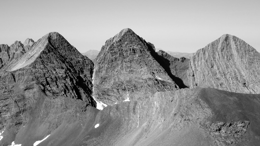
And a zoom shot of the Trinity Traverse.
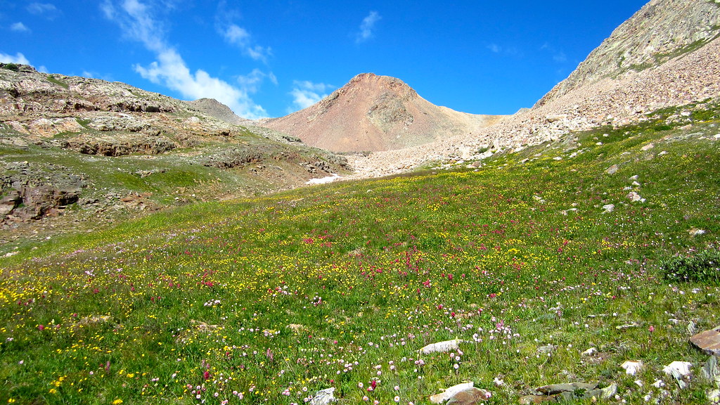
After soaking it all in and gulping down the last bit of our liquids, we took a contouring route down Peak One and across the south side of White Dome, which led us through some nice flower fields and lent us views of another “crazy blue” lake down below.
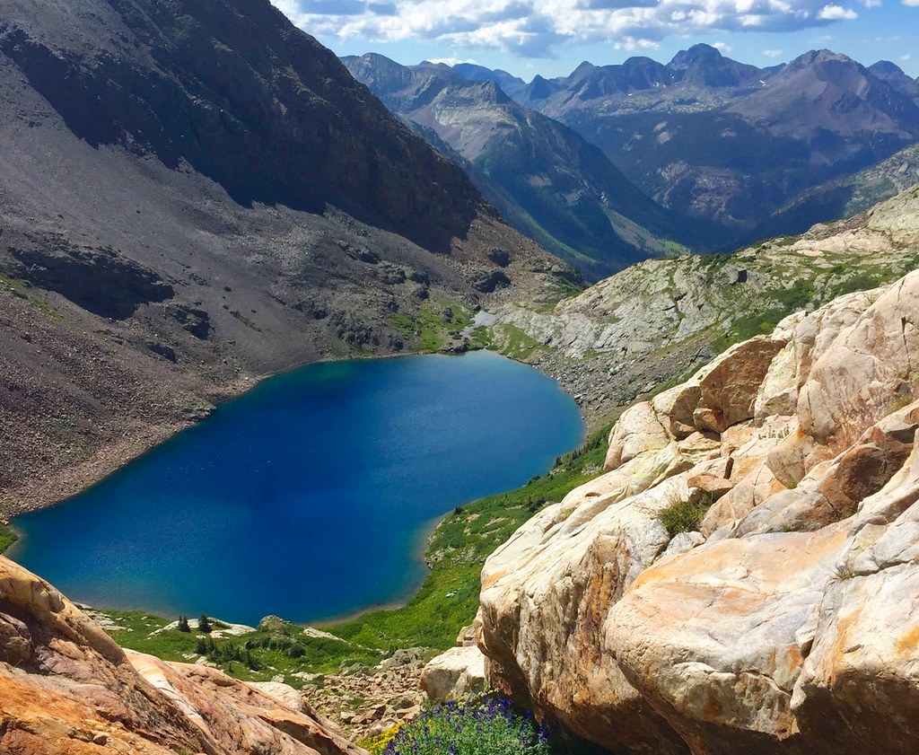
Looking down at Vallecito Lake as we contoured around the south face of White Dome.
From the southeast slope of White Dome we contoured around to the north of Vallecito Lake and ascended to a prominent notch in Hunchback Mountain’s south ridge. It was slow going but we eventually made it to the notch, from which we made an easy traverse back over to our packs.
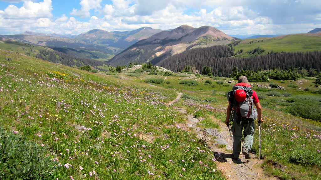
Saddled up for the final time, we plodded on down the north side of Hunchback Pass under the afternoon sun, reaching the car around 2pm. From there it was down to Silverton (thankfully Steve’s brake lines weren’t chewed in half by our furry friends) for a copious amount of pizza and IPA.
This one will live on in my mind for a long time Steve. Thanks again for making it happen with me this summer. Until our next dozen…
The End
P.s. Here’s a map I put together of the 5 days, color coded by day for anyone who’s interested:
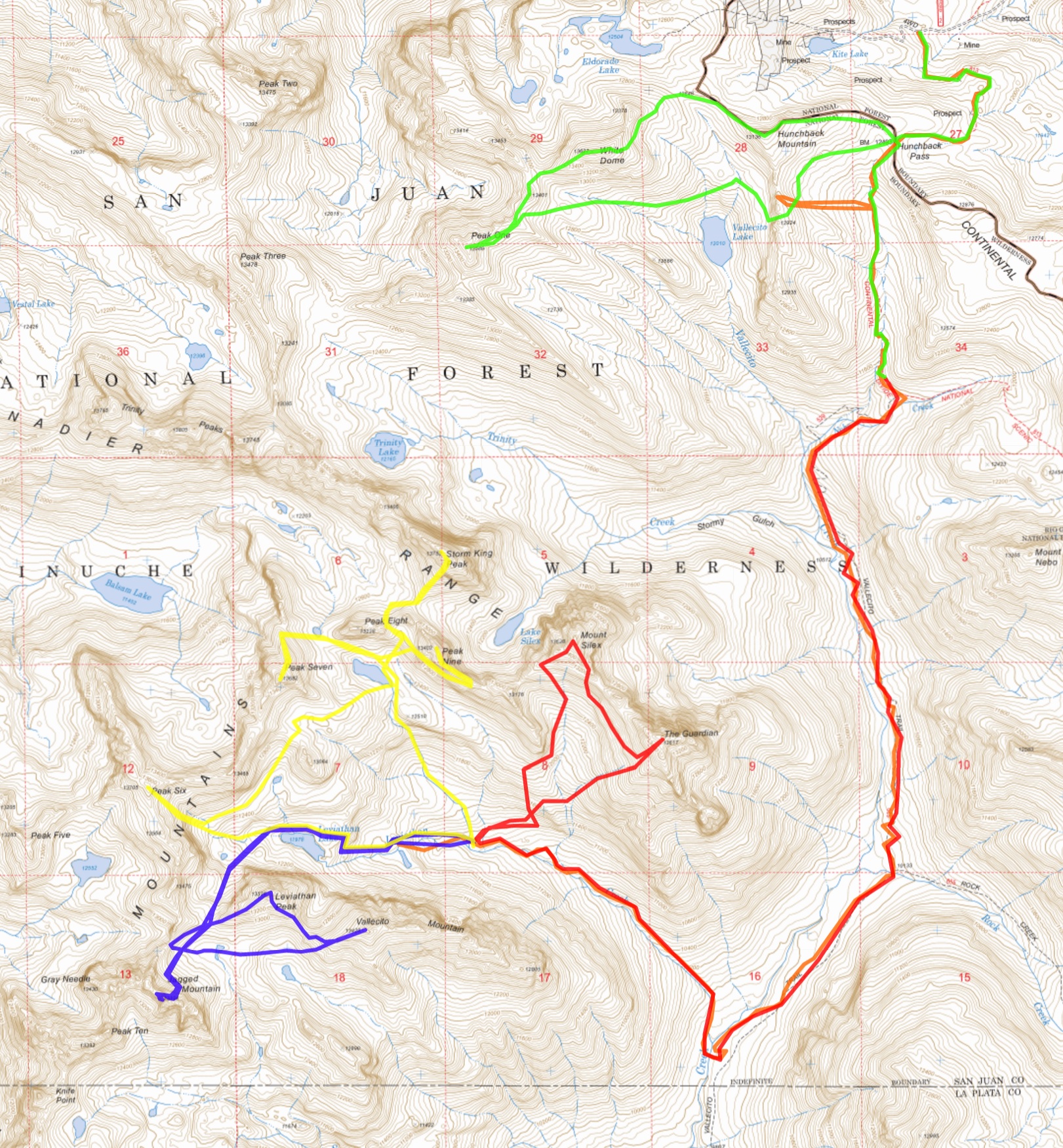
Day 1: Orange, Day 2: Blue, Day 3: Yellow, Day 4: Red, Day 5: Green. Map generated at 14ers.com. Click to enlarge.

Thanks for a great report, Ben. I’d been trying to plan that trip for both ’13 and ’14, so it was great to finally get it done, and I couldn’t have asked for a better partner. And we still have some peaks to get out that way…
No problem Steve! It was fun to write it up, better late than never I suppose. Let’s get the Oso group next 🙂
Thank you for the report, and especially, for the map! Now I can finally see what the heck you were hiking out there 🙂 I camped by that lake at the bottom of Pk 7 unaware I was staring at the hiking routes of Pk 9, Silex and Guardian. It is interesting to see the different routes we took up Pk 6, 7 and Storm King, and I imagine the bushwhack up the Leviathan creek might not have been very pleasant. I’d love to chat to either of you about it at some point. What an area! I am seriously drooling about some technical routes on the peaks in the area. Hopefully, some day…
No prob, Natalie. I agree the map is a big help, even for me to understand what we did out there. Leviathan was somewhat of a task to access but I’m sure you’d manage it just fine 🙂 I’d be happy to discuss it with you at some point though.
Enjoy your early ski season!
Really cool, Ben. Yeah, I’m with Natalie on the help the map gives us is just seeing where the heck you fellers were all those days! Glad that trip came together for you guys.
Thanks Brando. You gotta get down to check this area out at some point. I’ll come with 🙂
I was wondering when we would hear about the end to this saga but this looks like the highlight of another productive year. I know you feel differently, but I already miss the dry ridges but the days will begin to get longer again soon. You hit a ton of terrain that I’m curious of. Please keep all your pictures handy, I will be asking for beta in hopefully the next couple of years.
Scot, no problem! We can discuss the area over IPA and pork loin sometime. Yes snow season is beckoning, but a small part of me is already missing summer hiking season (yep, I said it).
Just looked through this report again, reminiscing (and looking forward already to next summer). The last photo on the way out reminded me of that old curmudgeon on the trail who wasn’t impressed by Hunchback pass. Yeah, that colorful carpet of wildflowers sure was drab and featureless…what an ingrate.
Oh yeah, those guys sure had an “interesting” perspective didn’t they Steve. Oso group up next on the docket?
Oso Group a top priority for 2017!