When I think of playing outside in February in Colorado I generally think of powder skiing at Monarch and touring around low angle terrain at Berthoud Pass. But this year things are a little different as February has felt more like May (minus the snow). In the spirit of trying take what Colorado has been giving, and with yet another warm, sunny stretch of days in the forecast, I decided to head down to the desert this past Monday to take a stab at Bicentennial Twin Peak A north of Fort Garland.
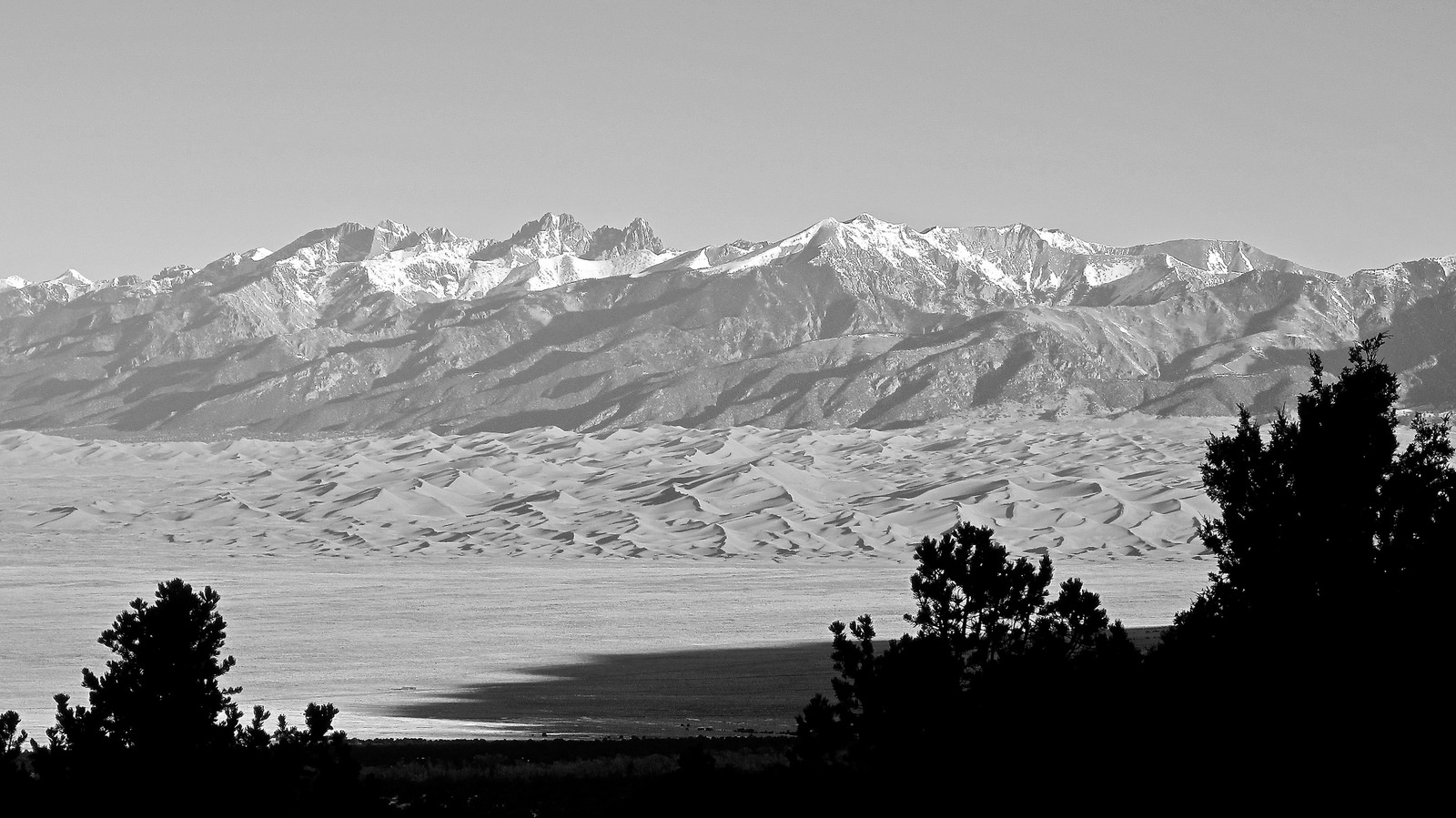
One thing about the Zapata TH is that the views are spectacular right out of the gate. I took this shot less than ten minutes up the trail (click to enlarge).
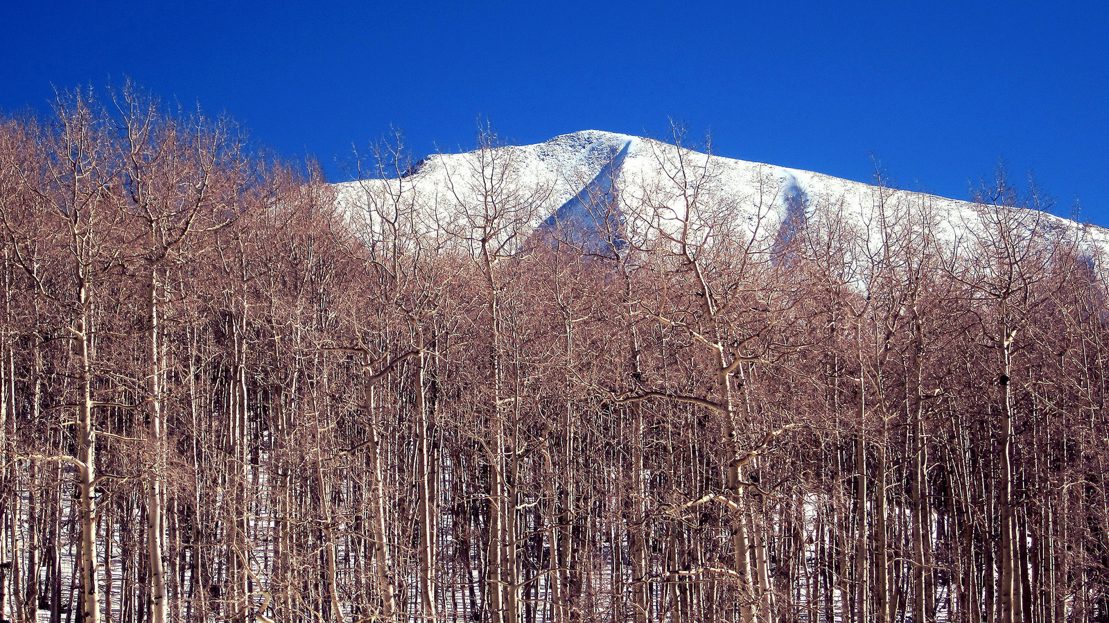
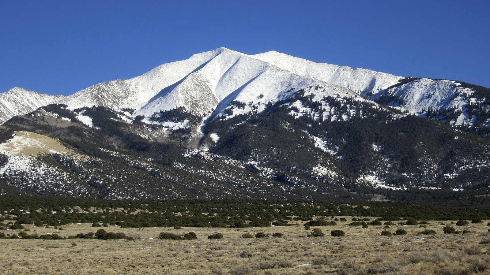
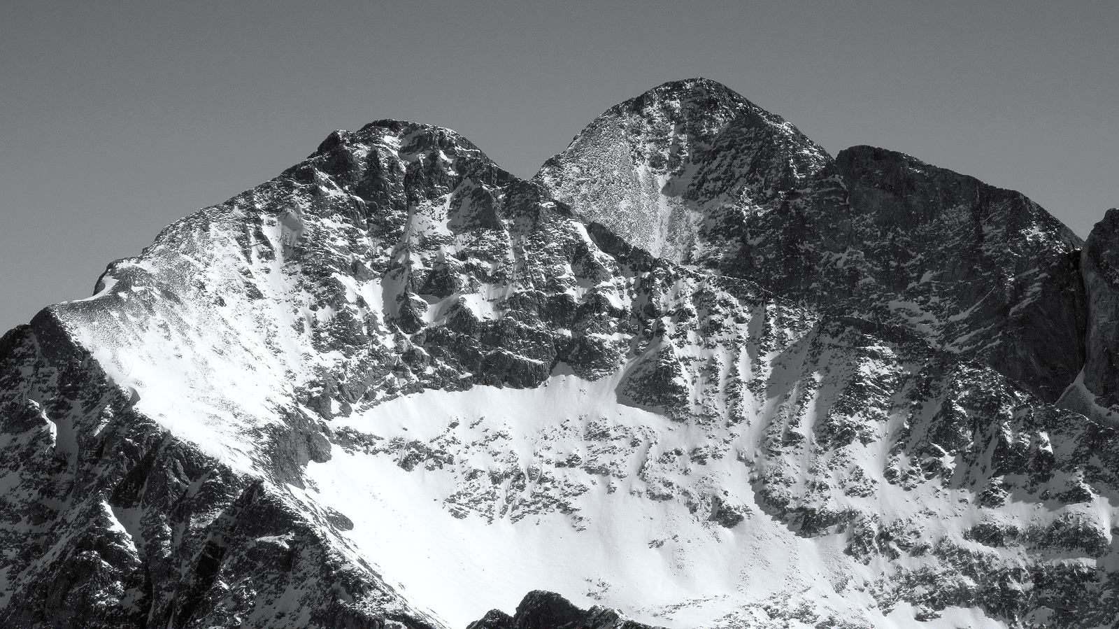
Because Twin Peak A is one of five points in Colorado with an elevation of 13,580′, it is either ranked #198 or #202, or somewhere in between. Being a walkup in close proximity to the Blanca Group 14ers, Twin Peak more often than not gets overshadowed by its taller, more rugged neighbors. And rightfully so I suppose. But what Twin Peak lack in stature and rank it makes up for in uniqueness, as it’s namesake double summit is striking from afar and the views it lends from up there are top notch.
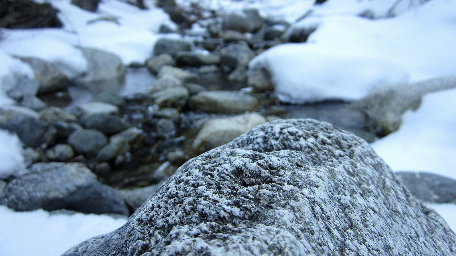
A partially frozen Zapata Creek.
I set off from the Zapata Falls TH at 8am and made my way up a packed trail to the Zapata Lake junction sign. After hanging a right I followed the trail as it contoured up an embankment before switchbacking sharply to the east. This is where I wish I had left the trail to start my bushwhack towards Twin Peak’s northwest ridge, but I didn’t. Instead I continued to where the trail crosses to the north side of Zapata Creek, and then stubbornly wallowed through the woods for awhile before deciding that cutting my losses and gaining the ridge was the best option at that point. I turned south and started up a steep slope in the trees that seemed to take forever to ascend. After wallowing up 40 degree snow covered terrain for the better part of half an hour I managed to get up onto the base of Twin Peak’s northwest ridge.
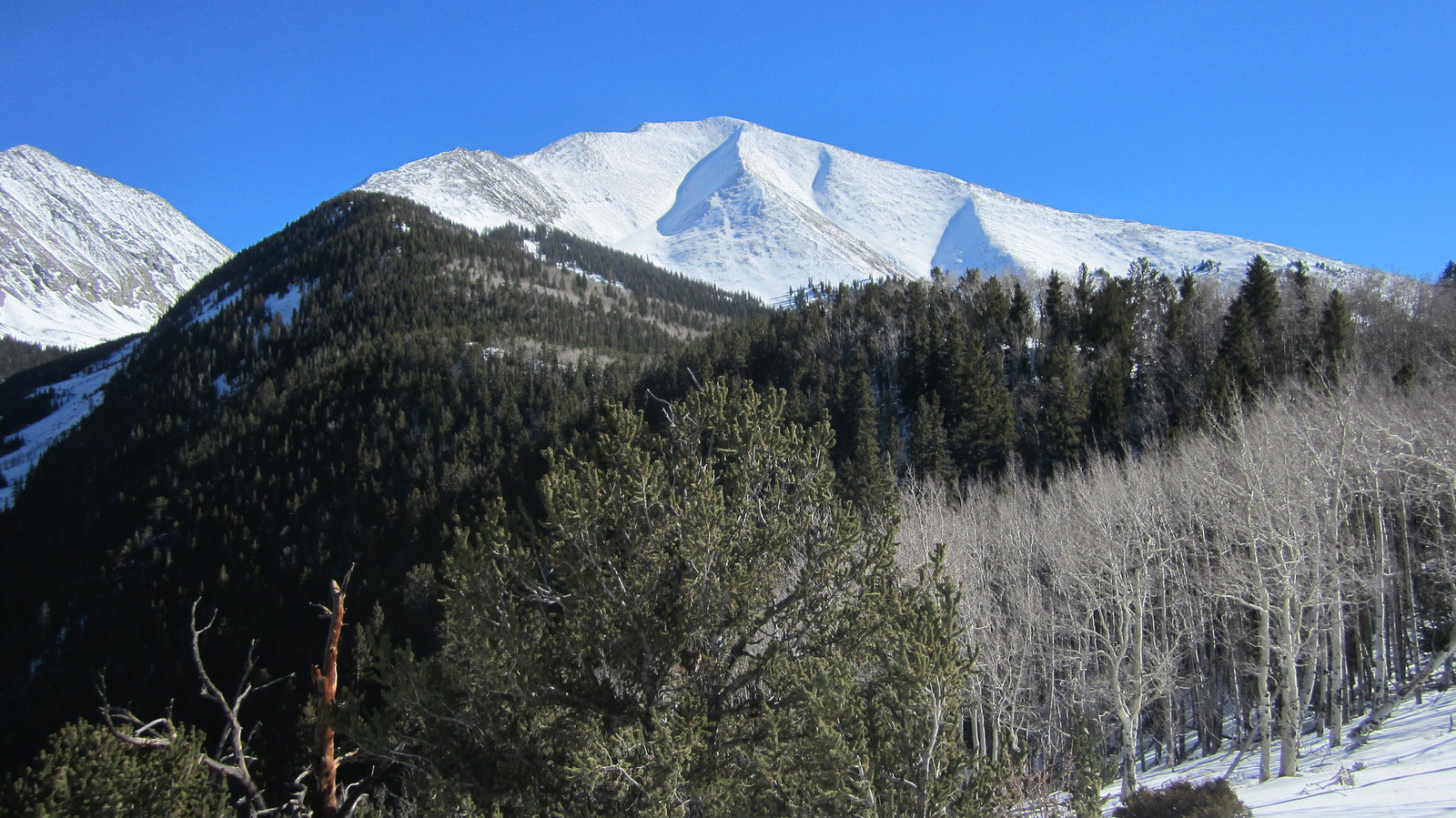
Twin Peak and it’s northwest ridge route first coming into view. It took nearly a mile of knee deep trenching from this spot to where I finally broke out above tree line on the ridge (click to enlarge).
The standard route on Twin Peak takes the trail all the way to Zapata Lake followed by a steep grunt up the northeast slopes to the summit. In winter however the ridge route is a better option for obvious reasons. That said I didn’t expect to find so much snow below tree line, particularly after gaining the ridge crest.
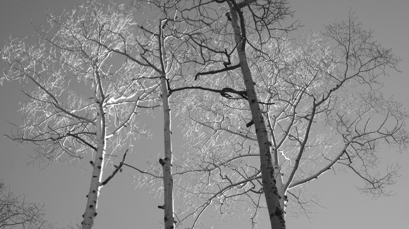
Sangre flora.
I slowly but surely made my way towards tree line but eventually became frustrated by relentless post holing. It seemed like the snow just got deeper and deeper the higher I climbed, to the point where when I could finally see dry talus up ahead of me I was literally balls deep in powder snow and just laughing at the absurdity of the situation (to be quite honest, and this is a rare sentiment, I wish I had brought snowshoes). I FINALLY managed to work my way out of the treed mess, and took a long break on a rock in the sun to dry off and refuel.
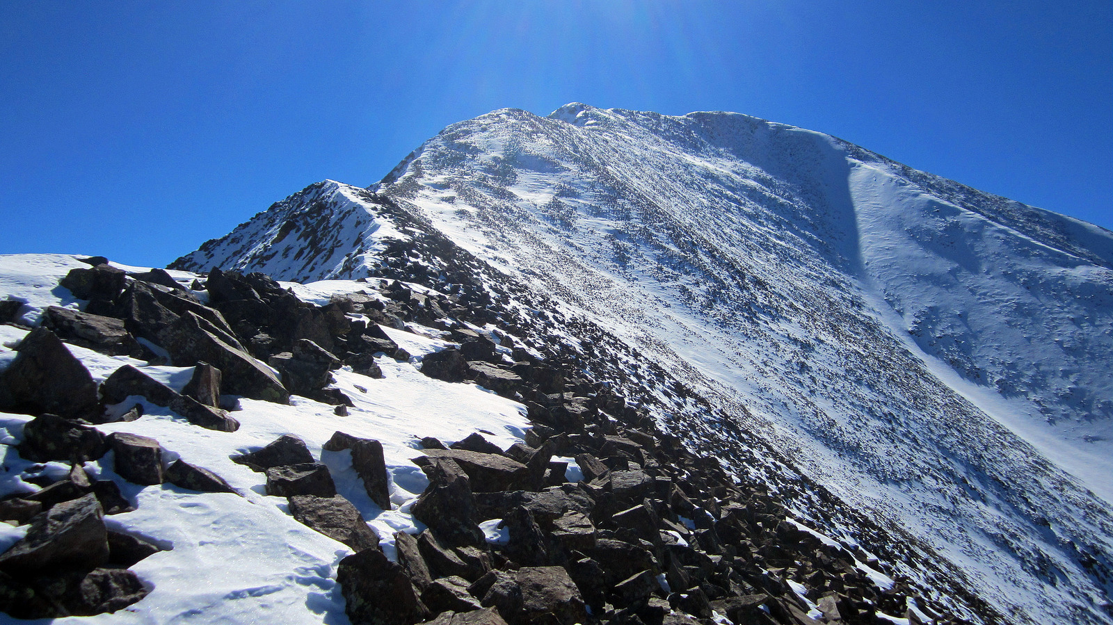
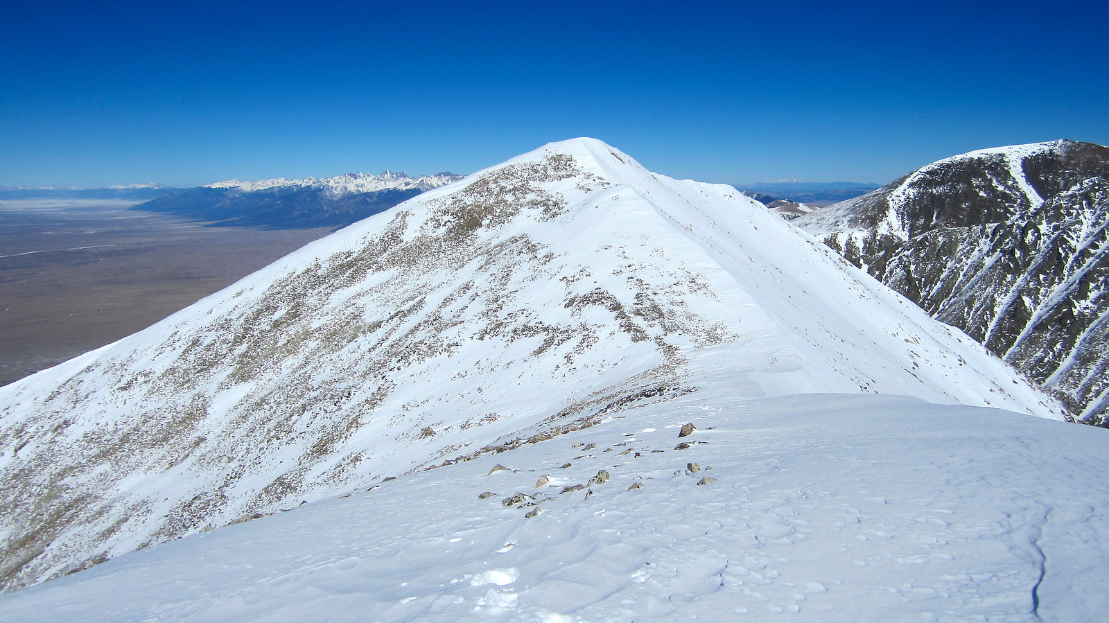
In the clear and on the ridge with the summit in sight.
Once on the ridge past the snow I had fun looking around and enjoying the windless day I had been given. Eventually Ellingwood Point came into view which looked really cool from an angle I had never seen before. I could also see the entire route the guys took up California a week prior.
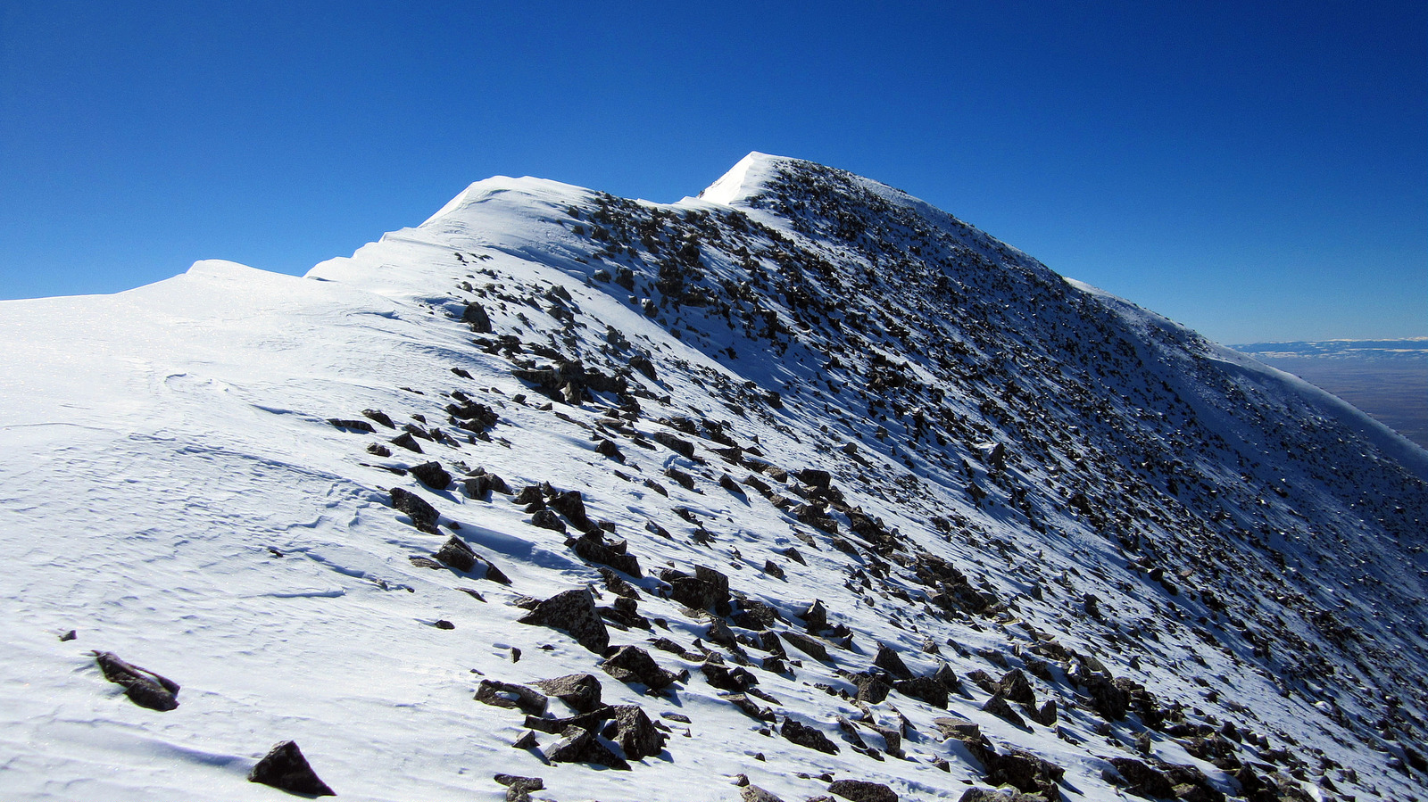
The summit within striking distance.
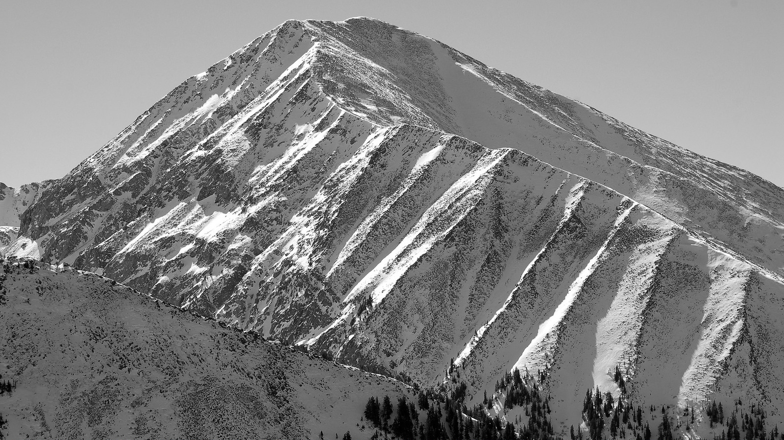
A look at the bulk of Twin Peak’s northwest ridge from California Peak, photo taken by Zambo a week earlier (click to enlarge).
I topped out on Twin Peak at noon, completing the 4.5 mile, 4,700′ ascent in four hours. I felt pretty good about that time given the wallow fest I experienced in the trees.
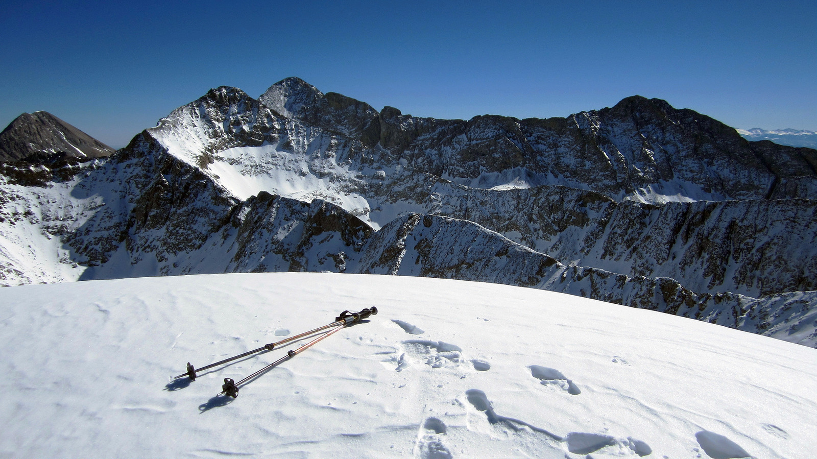
The snow capped summit of Twin Peak with the Little Bear/Blanca Traverse in full view to the southeast.
After eating some grub and enjoying the still windless summit, I dropped my pack and made my way over to Twin Peak’s unranked neighbor to the south. It took me less than ten minutes to complete the docile traverse between the two, and another ten minutes for the return trip.
Looking back at Twin Peak A from the unranked southern summit.
The boots I had on suck and my feet were getting cold as a result, so I left the summit and reversed my route down the ridge and back through the trees. I was able to retrace my trench exactly which made things a tad easier on the descent, but it was still a pain in the arse as the snow was getting saturated by the midday heat.
Twin Peaks in the rearview.
I arrived back at the car at 3pm for a total time of seven hours. I think in summer this peak would be a breeze, especially on the standard route with a defined trail to follow all the way to Zapata Lake. Winter is where it’s at with this peak though in my opinion as trailhead access is easy and the snow capped Sangres are sure cool to look at.
All-Gon Pizzeria in Fort Garland provided a nice end to a satisfying day off from work. Sure beat sitting at a desk on Monday. I think it’s maybe time to do some snow dances…
-benners

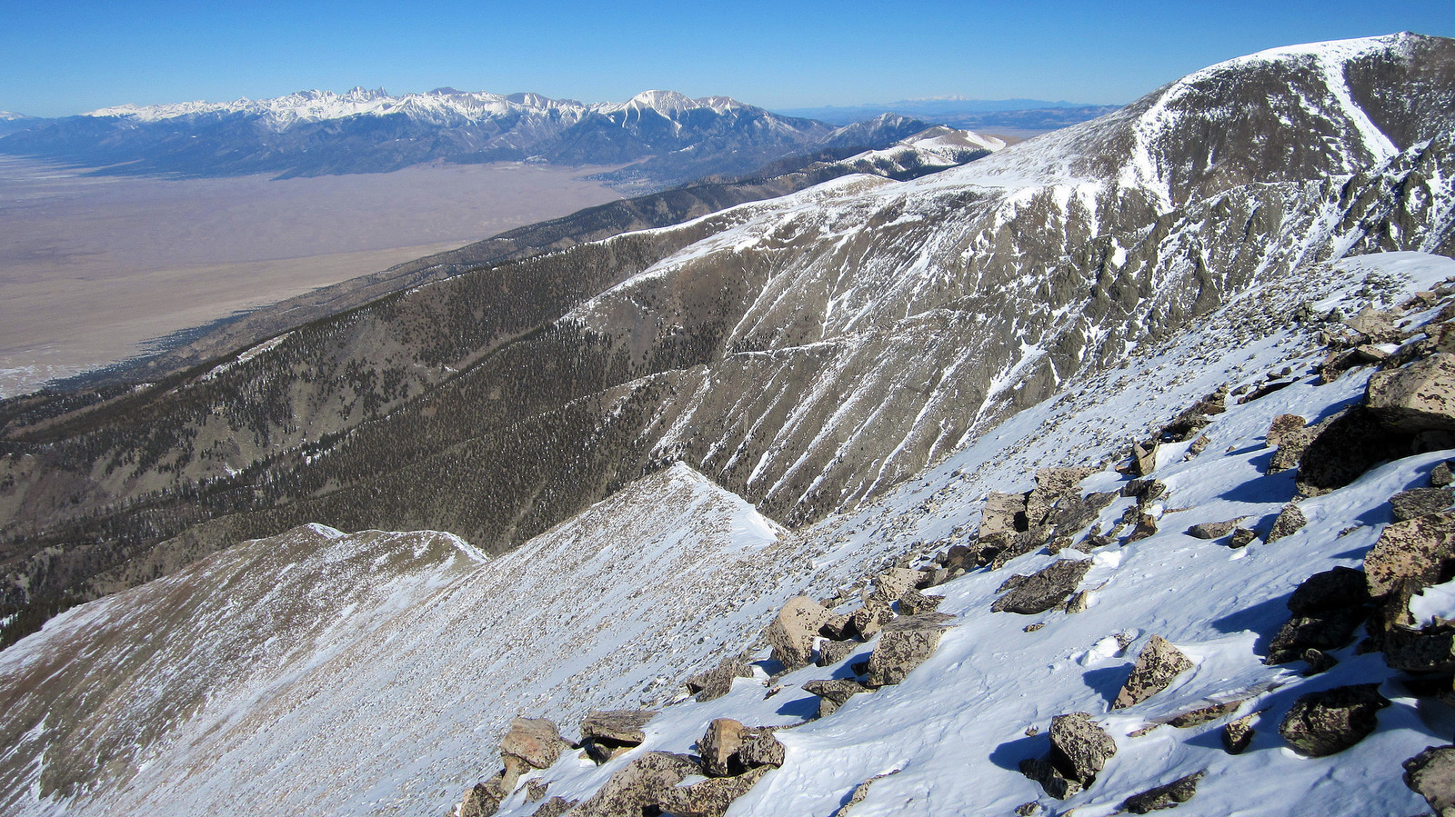
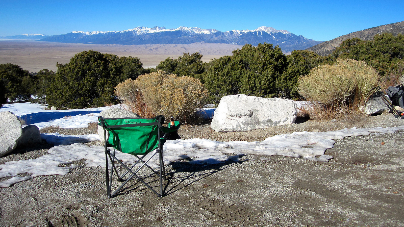
Swaaa-weet trip report Mr. Conners! I enjoyed this thoroughly. What a great view of the sand dunes and then of the Blanca-LB traverse from those angles! Thanks for sharing.
~Britt
Hey thanks Britt! I appreciate it, was a good day out there for sure. One cool thing about some of these more obscure 13ers is the unique views you get of all the peaks you’ve already done. By the way congrats on finishing the Centennials :).
“balls deep”…I like it, Ben. Nice TR man and what a stellar day on a really cool peak we’ve all looked at so much but few of us have actually hiked.
Haha, I’m glad Brando. Did I really write that? Sometimes this stuff just writes itself at this point. Still looking forward to skiing a line or two with you this spring man, even if it’s 183cm wide and drops straight down to the I70 shoulder :). I hope life is good up in the valley.
Oh ya. Now that I think back, we did indeed find a 100 yard section of misery snow in the trees right before treeline. I agree – it was terrible!
Haha, anyways man. Glad it was a good day out and you had fun. The relief off of those peaks is unreal.
Thanks Zambo! It was good to see you guys had a great day out as well and thanks for the beta and photo (ok I guess I stole the photo 🙂 ). Yeah I love the relief in that area, probably the most “sheer” in the entire state. Looking forward to the next one.
Ben, well done sir. We looked into this one last winter but the 10k cloud ceiling turned us back. Looks like a very nice winter option for the future. Congrats on a nice day in the hills.
Thanks Scot. That route is, in my opinion, a very nice winter option. I think a lot of those west ridge runs down there are.
Beats the hell out of going to work – thats for damn sure. And views right out of the gate always adds to the motivation and overall experience of the day.