Peak: California Peak – 13,849′
Distance: 9.2 Miles
Vert: 4,900 Feet
Climbers: Dillon & Zambo
Centennial Sunday – California’s West Ridge
I get excited every time I visit the San Luis Valley. How could you not? It is a 122 mile long, 74 mile wide, vast high desert plain surrounded by mountains. And not just any mountains. To the west, the Sangres rise up like nowhere else in Colorado. Going from 8,000 to 14,000 feet in a matter of 2-3 of miles just never gets old. On every trip I am stunned by the relief off of the valley floor. The fact that most of the high peaks are as rugged as they come only adds to the appeal.
But of course, you have a bunch of other cool stuff here as well: an interesting history, some (IMHO, completely random) sand dunes, countless isolated drainages, and a number of peaks which can rival anything in lower 48 in terms of sheer bad-assery. Oh…and let’s not forget the aliens either. I’m still waiting for my first sighting.
So, when Dillon threw out the option of hitting California Peak for a winter centennial Sunday, I was all in for heading down south. Like all Sangre trips, an early wake up had us cresting La Veta Pass around 6:30, anxious to traverse around the Blanca Group and get our first look at California Peak.
Like so many outings in Colorado, we owe our route inspiration to Mr. & Mrs. G. Roach. Their 13ers book continues to be chock full of useful ideas, albeit a bit lacking in updated beta. I guess that’s what you should expect from a 14 year old guidebook. We can only hope that new edition will be updated, not cost $50+ dollars, and actually get published….sometime.
But griping aside, the ideas and descriptions in that thing are still spot on. Hence, our choice to do the west ridge.
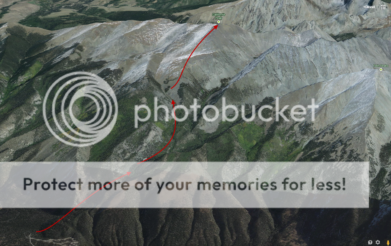
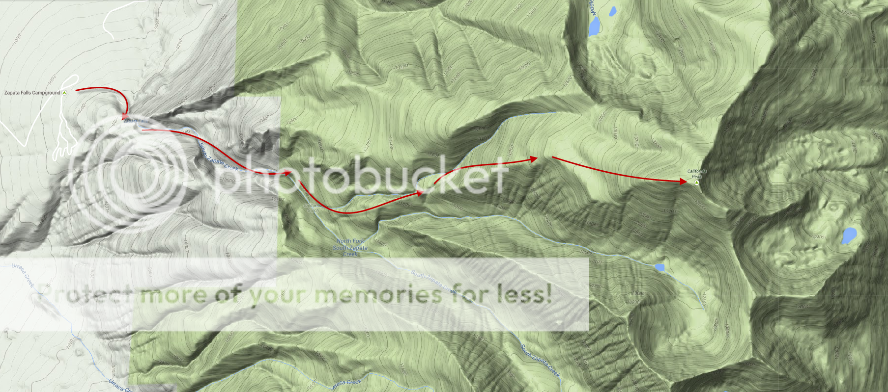
The west ridge route of California starts at the Zapata Falls trailhead. Although we found it deserted, the road is plowed and makes for a great winter outing without the added slog of hiking miles of San Luis Valley approach roads. From the Zapata Falls Campground, an easy warm up takes you past the falls (an interesting frozen detour) and eventually has you meandering up into California gulch along the Zapata Creek Trail. The route leaves the trail around 10,600′ to gain California’s long, angular west ridge leading up to tree line. From there, generally low angle and gentle slopes lead to this centennial 13er summit. Between the great access, the defined trail, and the relatively safe route, this is about as good as it gets for winter 13ering.
We were further encouraged as we could see the upper basin from the TH. Patchy snow mixed in the rocks showed a typical Sangre winter scene: bare. We were happy to see that above tree line we would have an avy-free path all the way to the top. Barren slopes below tree line were representative of what we saw in the whole range; they don’t call these the ‘dry-gres’ for nothing.
An 8:00 start time had us on the relaxed trail which wound its way up along South Zapata Creek. Much to our delight, the trail had seen some recent foot traffic. The great trench was not even necessary most of the time, as the snow was very thin. We were able to cruise the 2.3 miles up to the first junction without ever needing to don the clown shoes.
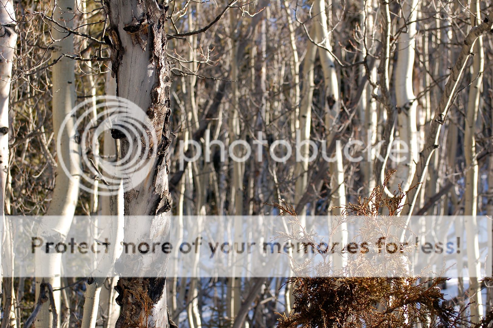
The ‘typically-Sangre’ mix of sage brush and desert bushes eventually gave way to aspens as we rose higher. Pines filled in higher still. (Zambo)
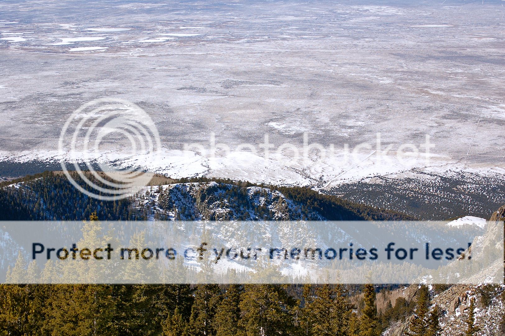
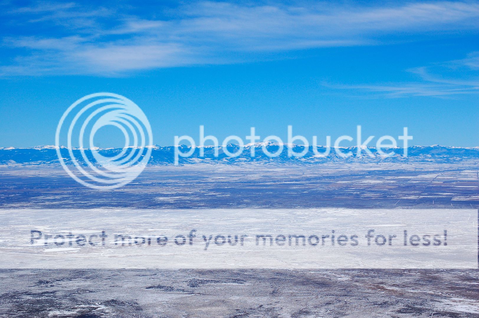
The first real break in the trees is a fun moment on any Sangre hike. The contrast of elevation gained down to the valley below is always stunning. Our approach road is seen far, far below. (Zambo)
A short distance past the California Gulch Creek, the trail crests on a small hill before heading down again as it travels south. This high point is the spot to leave the trail and begin the bushwhack up along the ridge. The tracks we had been following continued right where we needed them to go. So, after a short breakfast, we happily obliged to keep following the trench through the tress. The snow continued to be pretty much exactly what you would expect from this area: 6-18 inches of unconsolidated sugar, with varying degrees of support. But all in all there was nothing to complain about, as the trench and the overall lack of snow continued to make for easy passage. We were even on bare dirt and rock for good sections of the day, enjoying the rapidly warming temperatures.
Around 11,500 we reached a small junction. The route proper travels straight up the ridge here and into a final stand of thick trees before tree line. However, the tracks we had been following continued north of the ridge into California Gulch to avoid the very steep gain along the ridge. Sensing the slog that awaited us in the trees, we opted to follow the tracks in the gulch to make for easier passage. We continued this for a quarter mile or so up the drainage until we found a completely bare scree slope allowing passage to the ridge above. The slog up this slope was about as frustrating as any unconsolidated boulder field can be, but we eventually reached the high point of the ridge again, right at tree line and 12,300 feet. From there, we could see the long, but gentle west slopes to the summit.

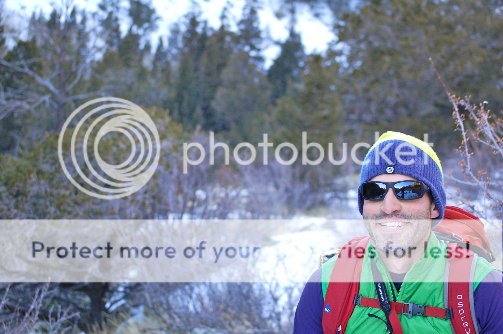
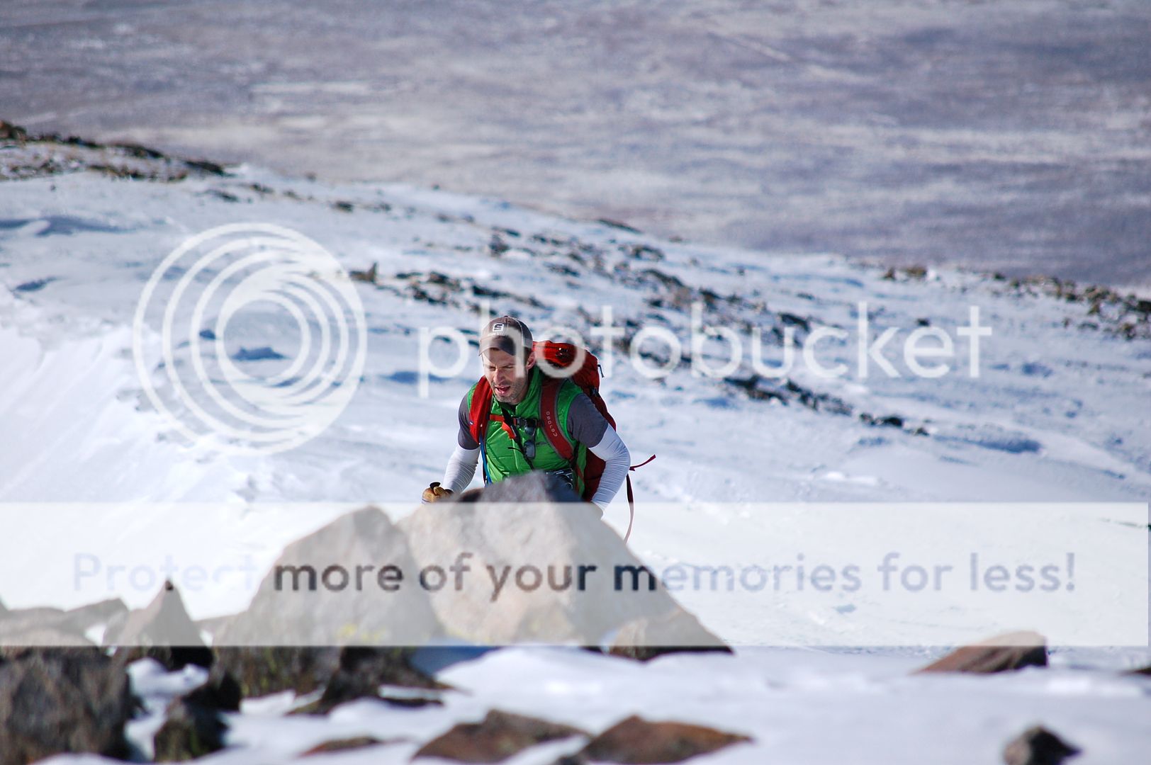
Dillon, happy to be done with the scree slope and the subsequent 200 yards of wallowing through the final stand of trees. (Zambo)
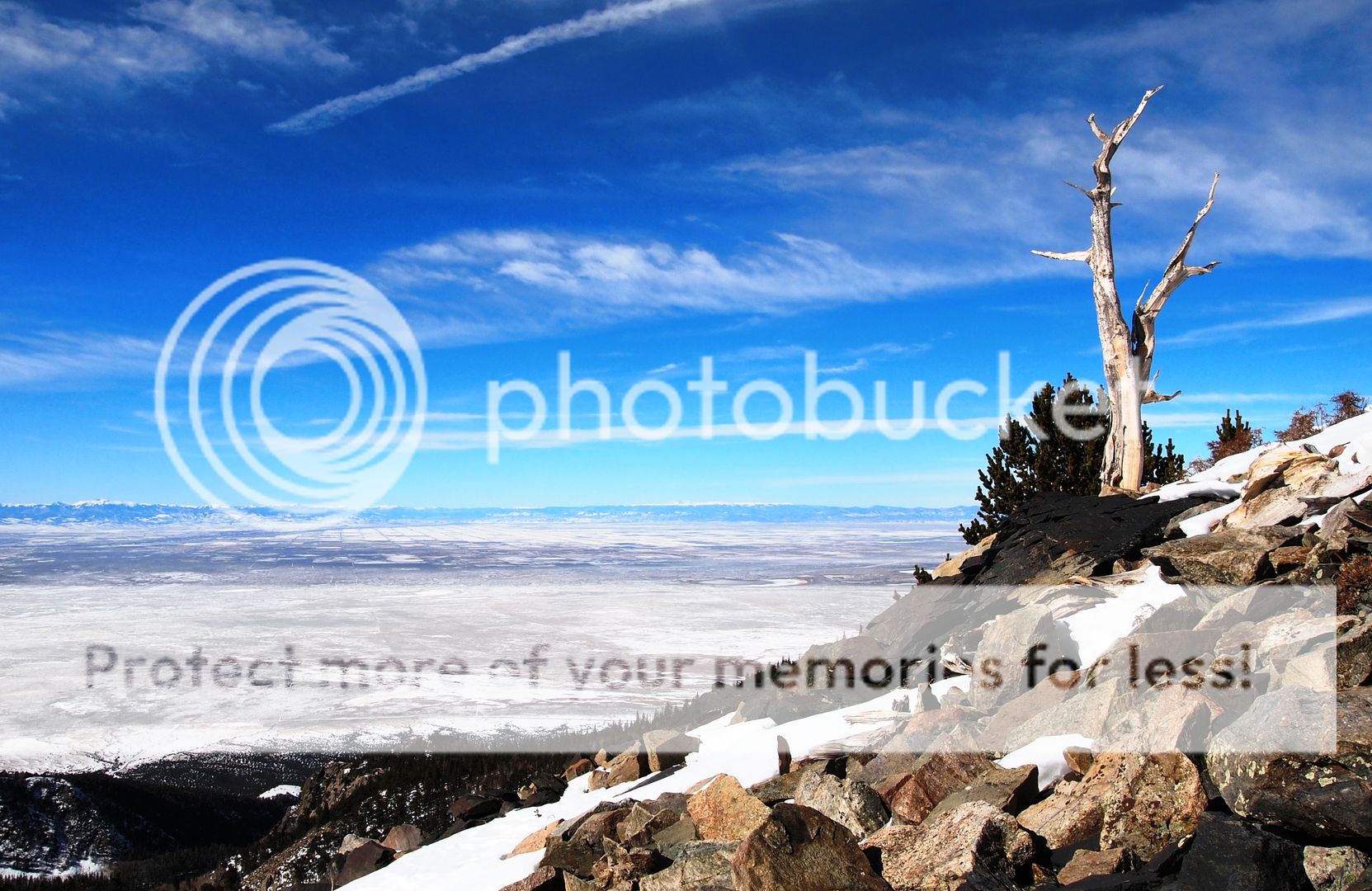
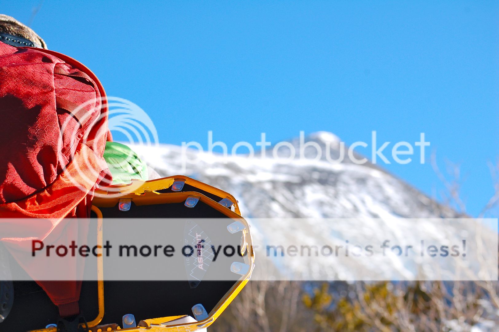
We dubbed this gnarly old dead guy the ‘Zapata Tree’ – a great place to finally ditch the snowshoes. (Dillon)
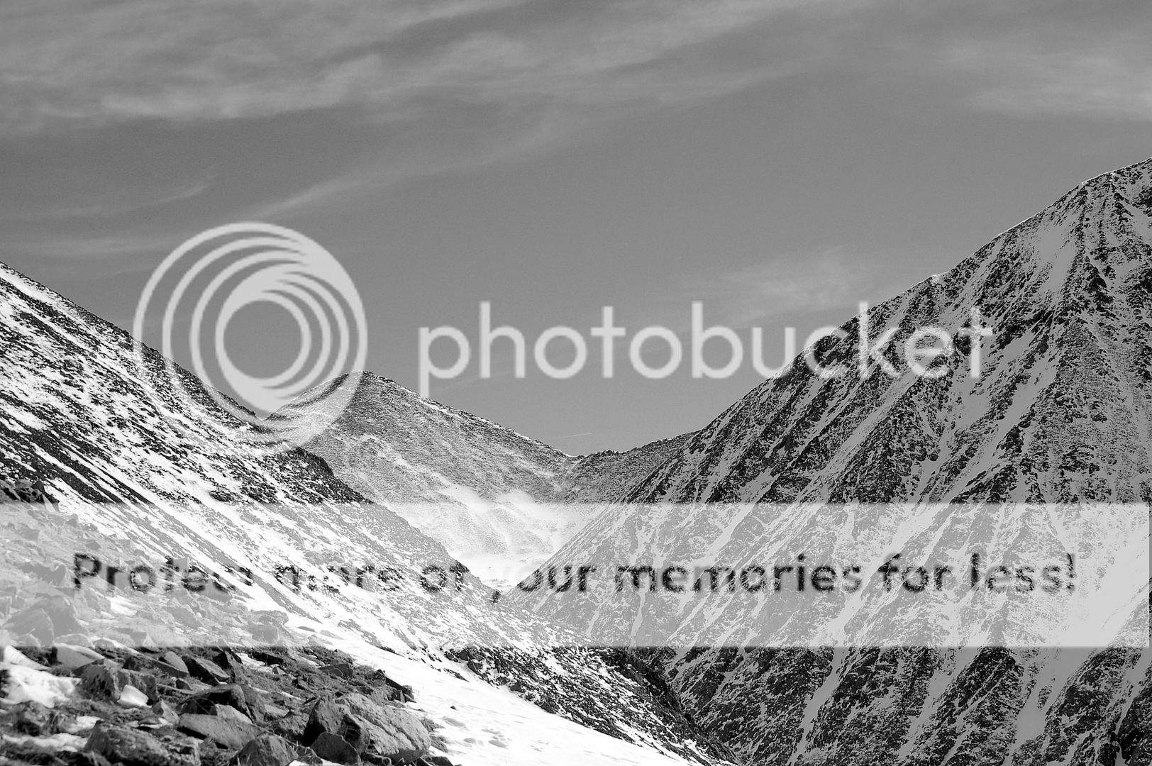
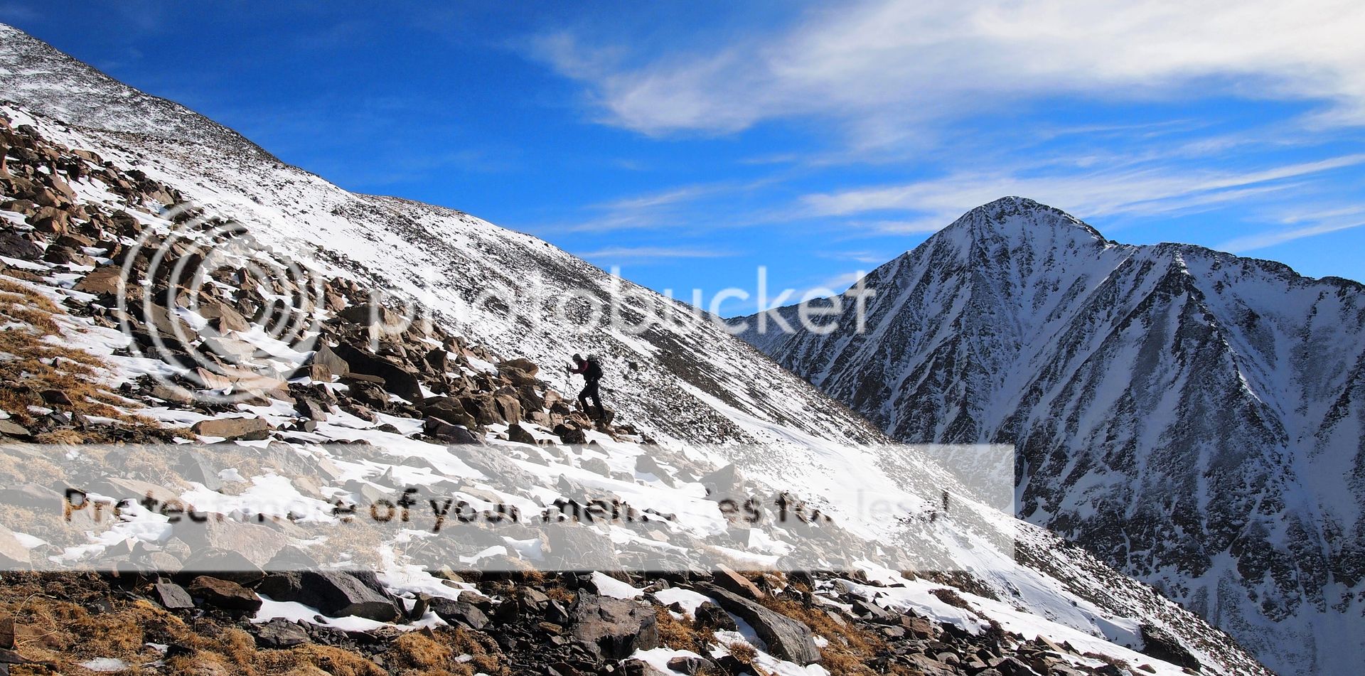
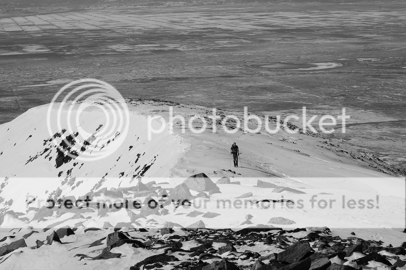
From tree line, the remainder of the route simply follows the slopes west upwards. But as with many Sangre days, this mile long ridge was deceivingly far away. While completely bare and safe, it still gains 600 vertical feet in the span of .3 miles at one point, getting the lungs pumped. It makes you earn it.
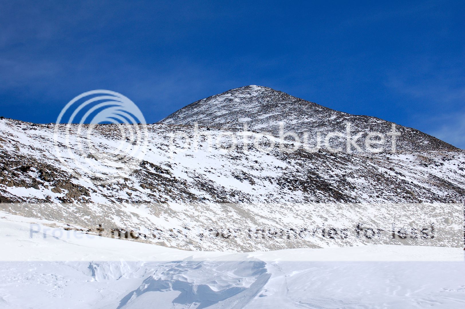
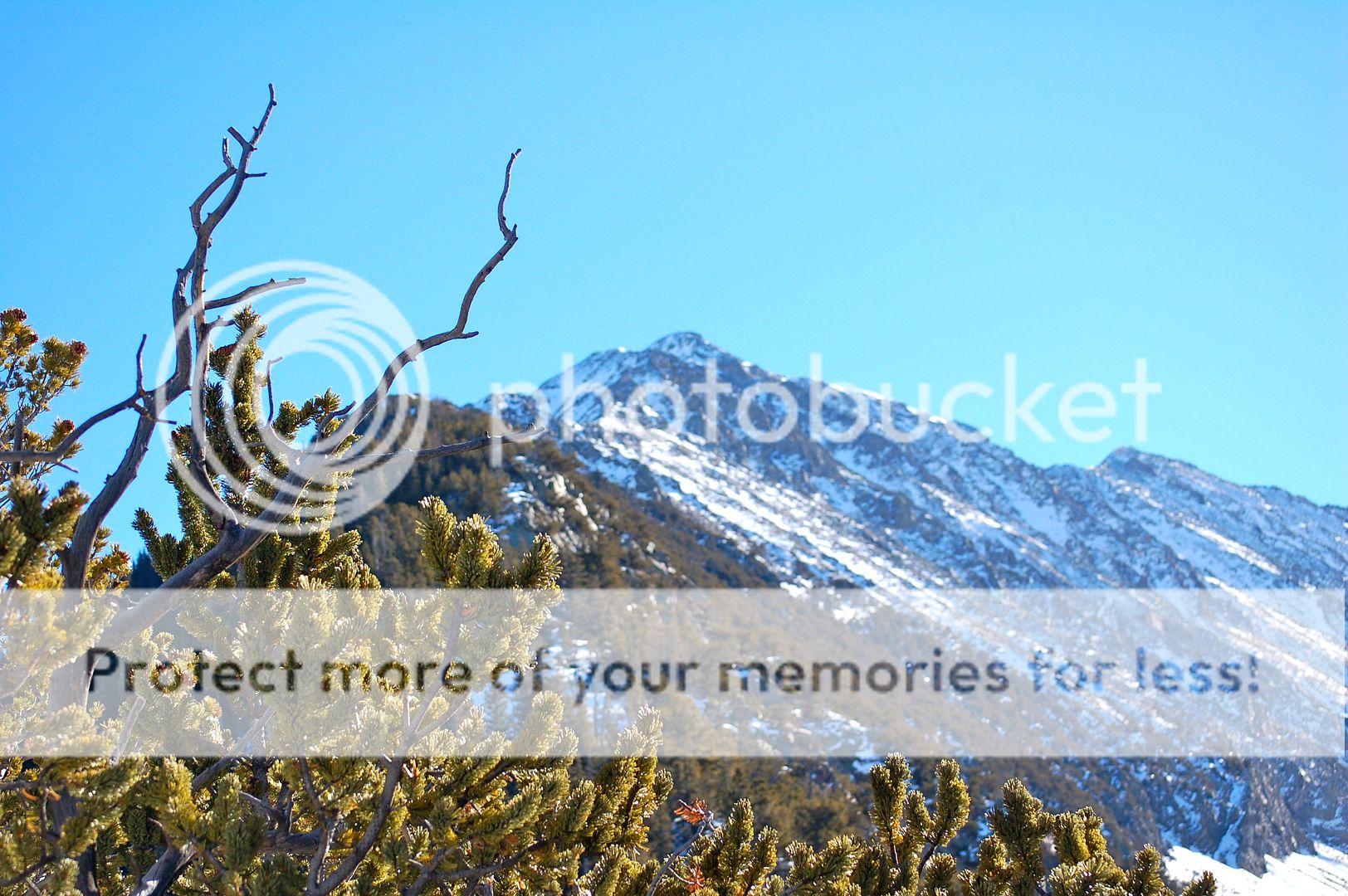
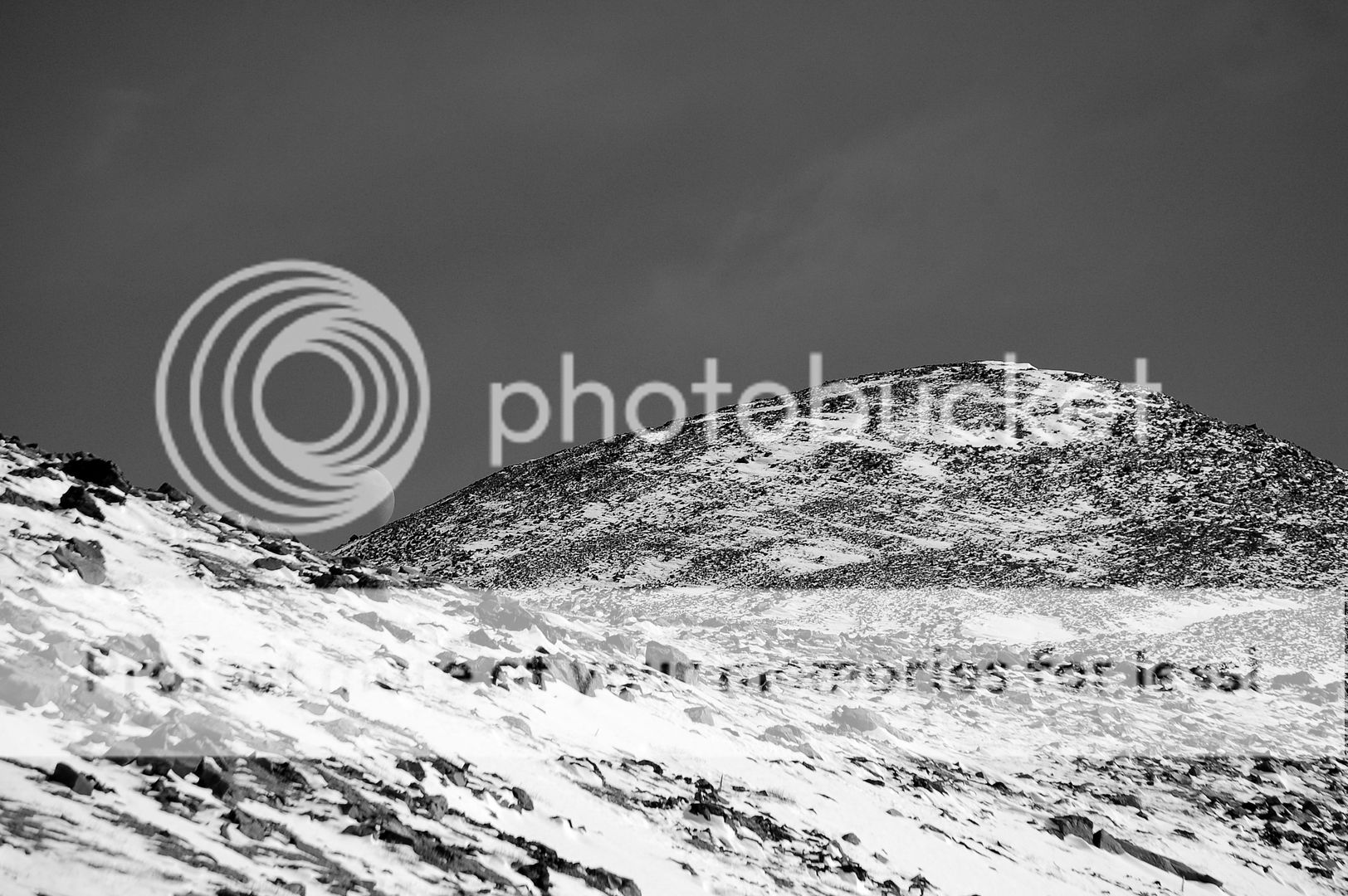
The final few thousand feet. The true summit hides behind this rolling lump until the very end, making for a series of ever-rising false summits. (Zambo)
Right at 13,000 feet the slopes mellow out to an almost completely flat plane, several acres square beneath the final pitch to the top. This was a welcomed relief after the steep ridge leading to this point. Beyond the open ground, the final 800 feet or so rises above in a consistent convex curve. It is one of those slopes that you look up and think, “I just know this thing is going to frustrate all hopes of finding the true summit until the bitter end.” But I suppose experience is useful here. The only thing to do with a slog like that is to put the head down, grind it out, and not think about the real summit until you have no more up to go. It helped that the sun was out, the winds were low, and the temps were down right balmy.
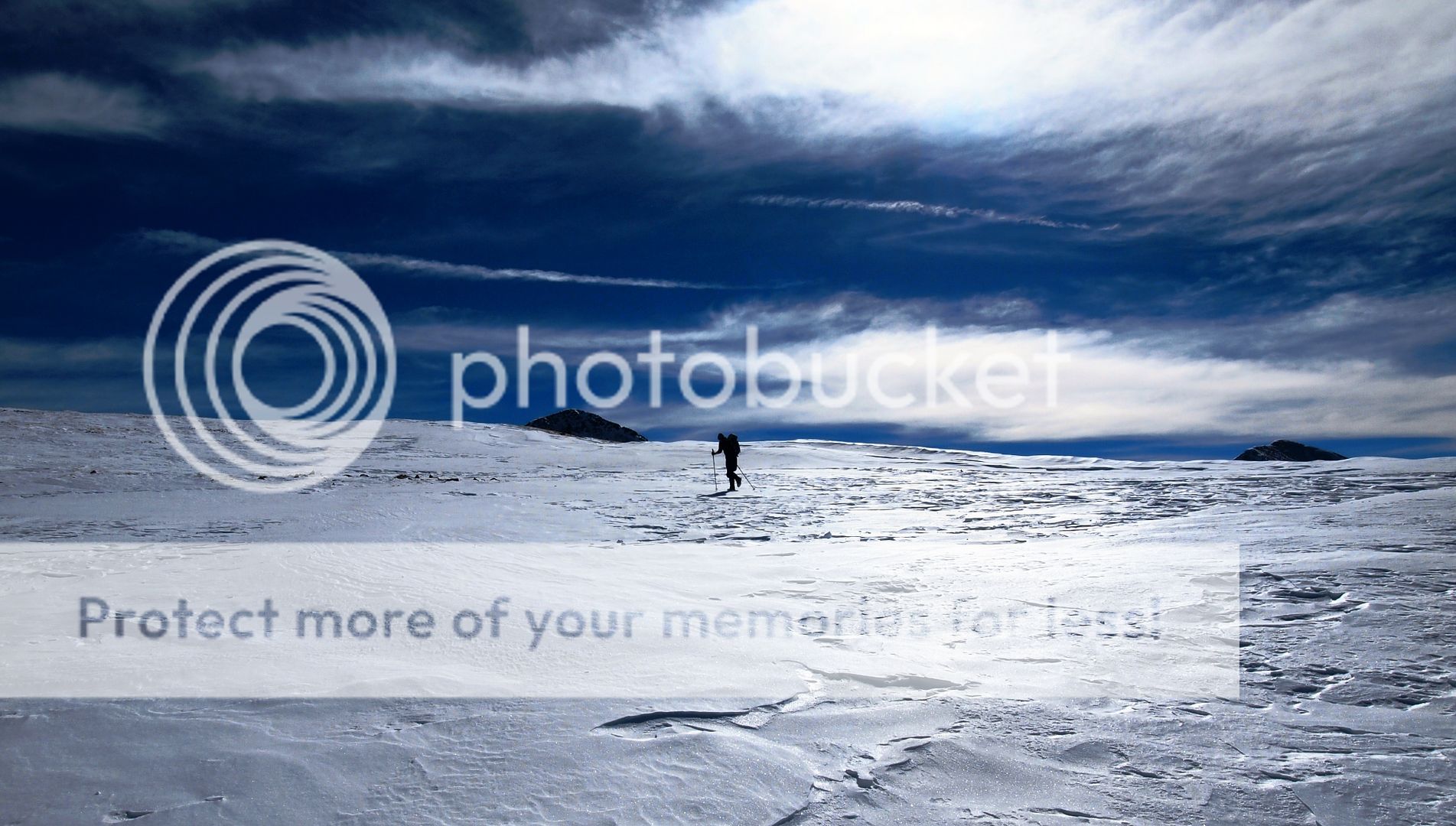
One of only two post-holing spots of the day: a relatively flat, wind loaded plain at 13,000 feet made for soft passage before the steeper rocks beyond. (Dillon)
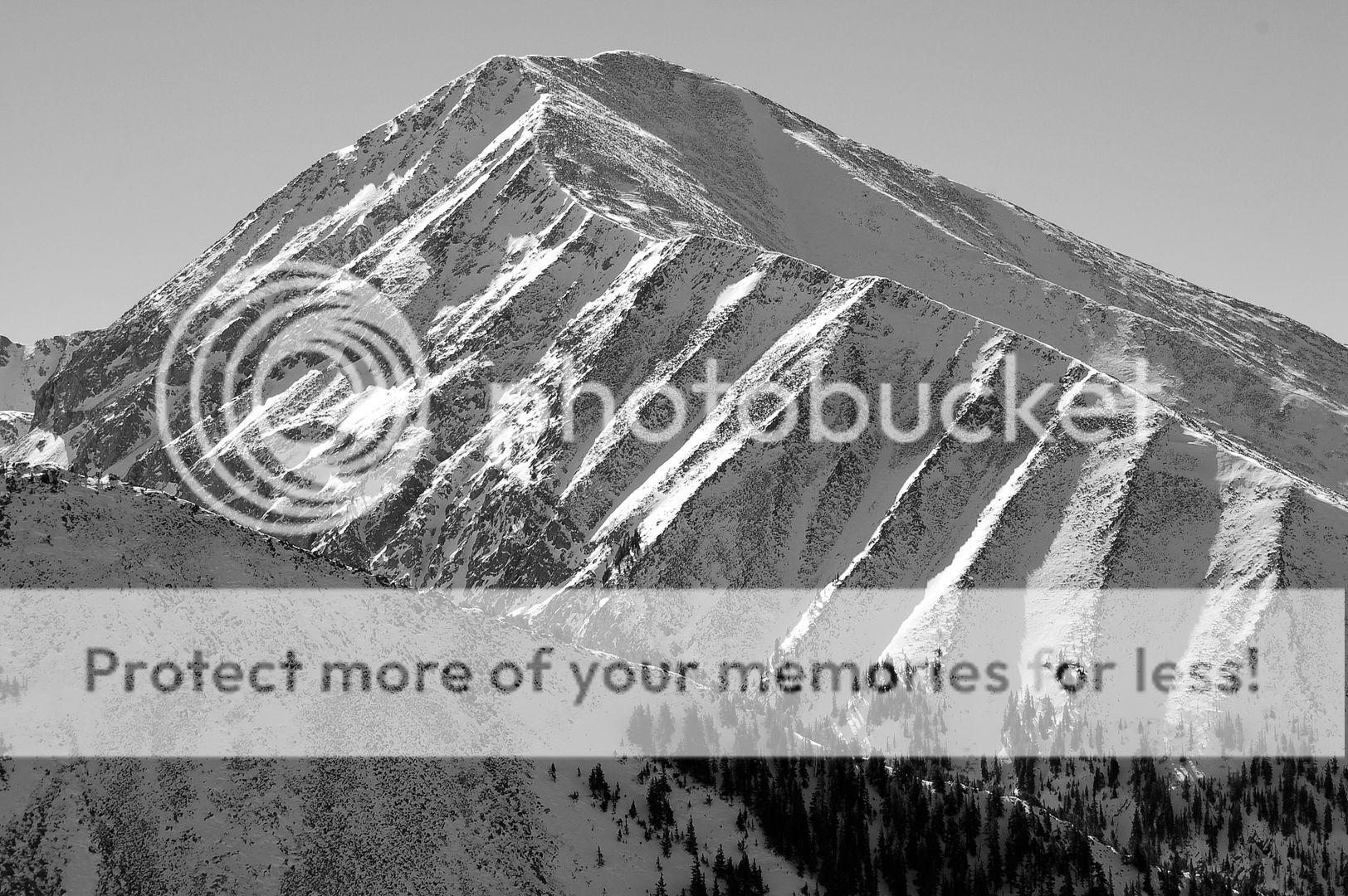
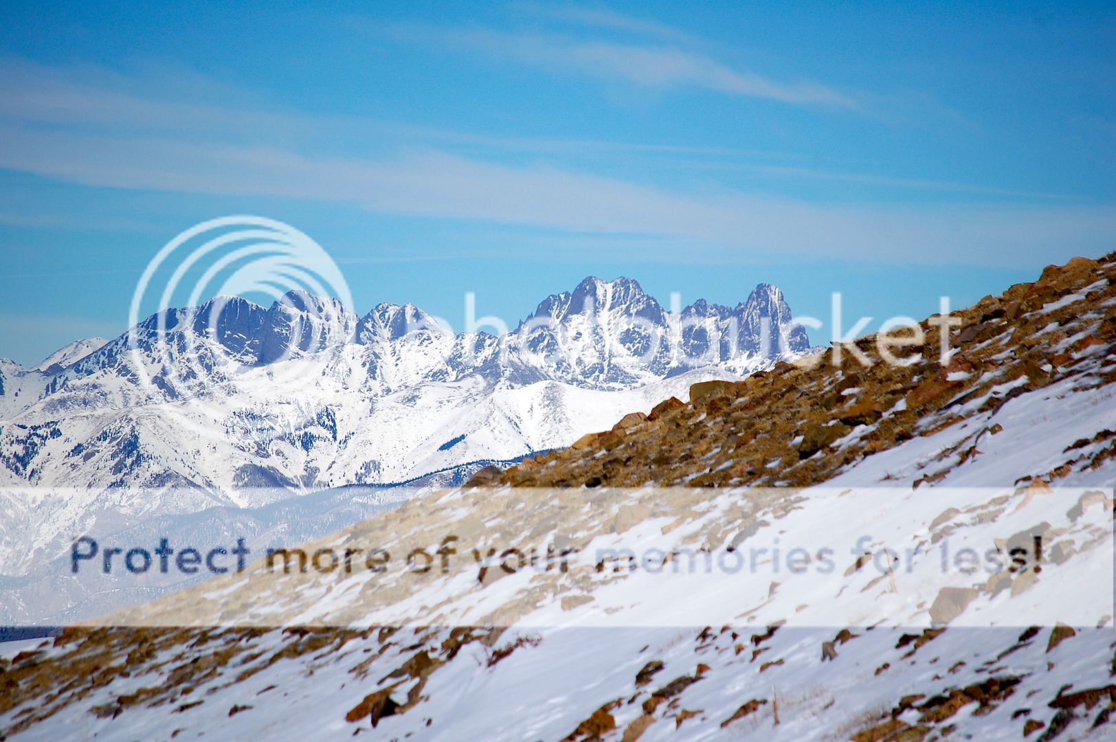
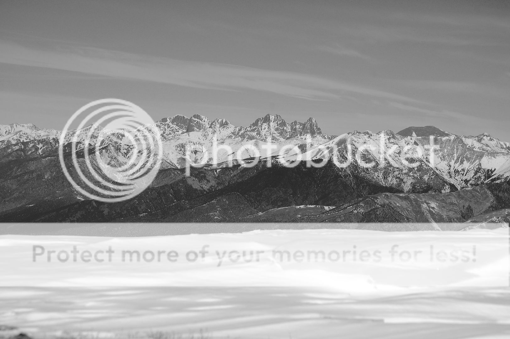
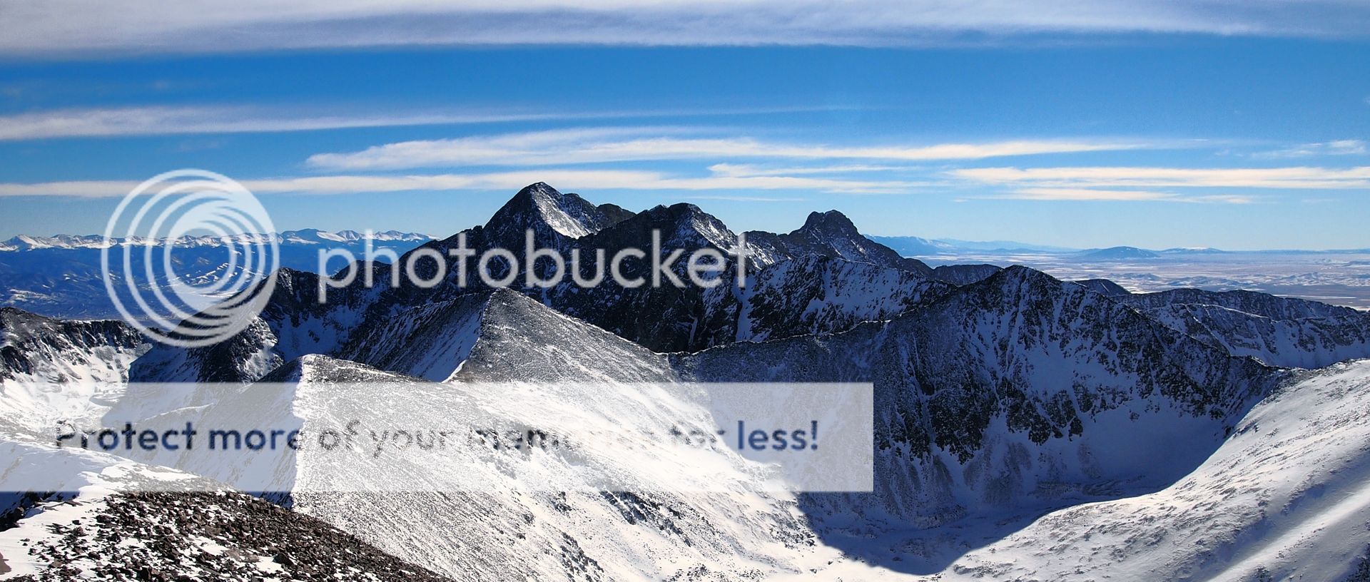
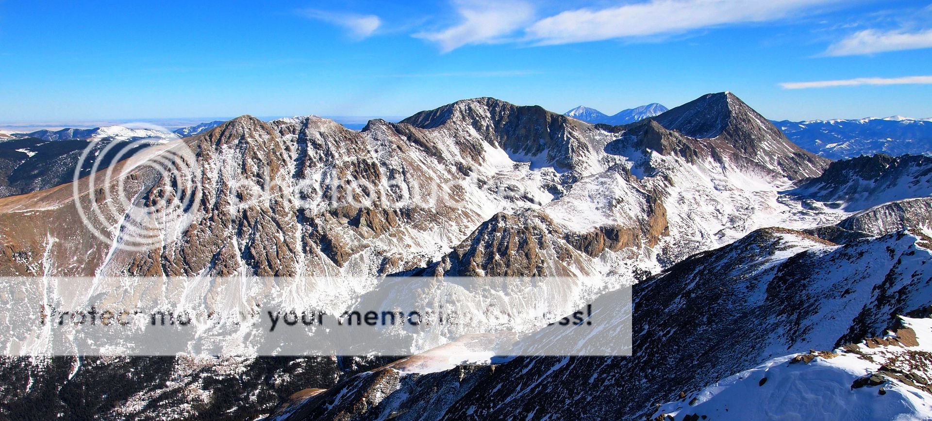
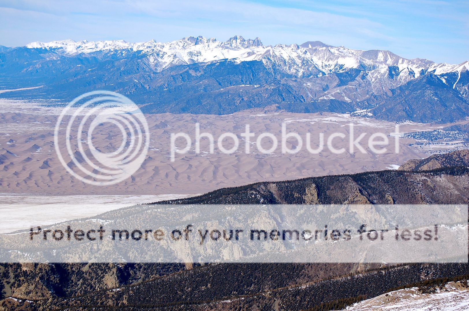
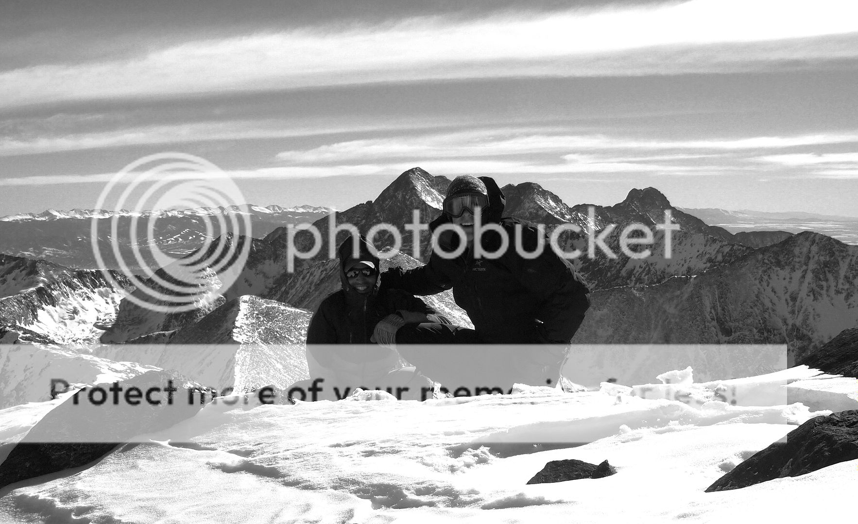
This summit, well, what can I say? It was incredible. To the east, the full stretch of the San Luis Valley is rolled out like an endless carpet. To the north, the sand dunes and Crestones are as uniquely beautiful as anything in Colorado. And to the west & south, the Blanca Group stands in all it’s unbridled glory. Blanca, Little Bear, Ellingwood, Lindsey…it is no wonder the Native Americans believed this place to be holy. And so it remains.

For those who enjoy steep, dangerous, border-line suicidal winter Sangre ski routes, it looks like the red couloir is in…brah. (Zambo)
As it usually does, the wind decided to swirl around the top of this peak. Warm temps dropped quickly as the biting winter gusts displayed their nasty ability to find every exposed piece of skin or wrinkled gear. No matter though, we only needed a few minutes to enjoy the top. We looked at the register and decided we were the second people up here since October. Ironically enough, the tracks we had followed joined with us again for the final 50 feet or so to the top. It seems someone had been here the day before, opting for the valley approach as opposed to staying on the ridge. If this was you, thanks for the trench. Hit me up with a PM and let me know how your day was.
As for us, the way down was as uneventful as you hope a descent will be. Aside from a super-charged Dillon (thanks to some ibuprofen) and an absolutely jaw-dropping display of colors in the sunset sky, we were able to make it back to the cars without incident and just before dark. All told, we were just over 9 hours on the day. All that remained was a feast at the Silver Sage Steak House in Fort Garland. “Yes, we do both want a burger AND a full side of wings.”
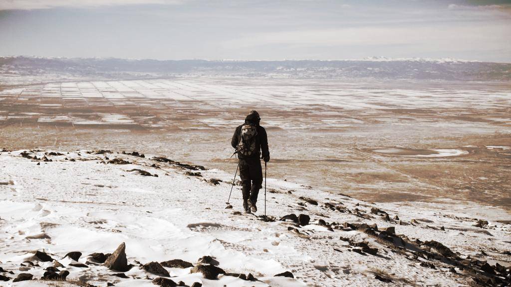
Time to go home. (Dillon)


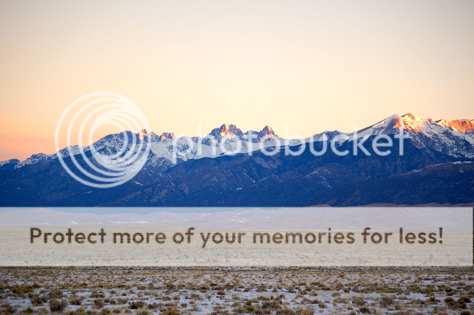



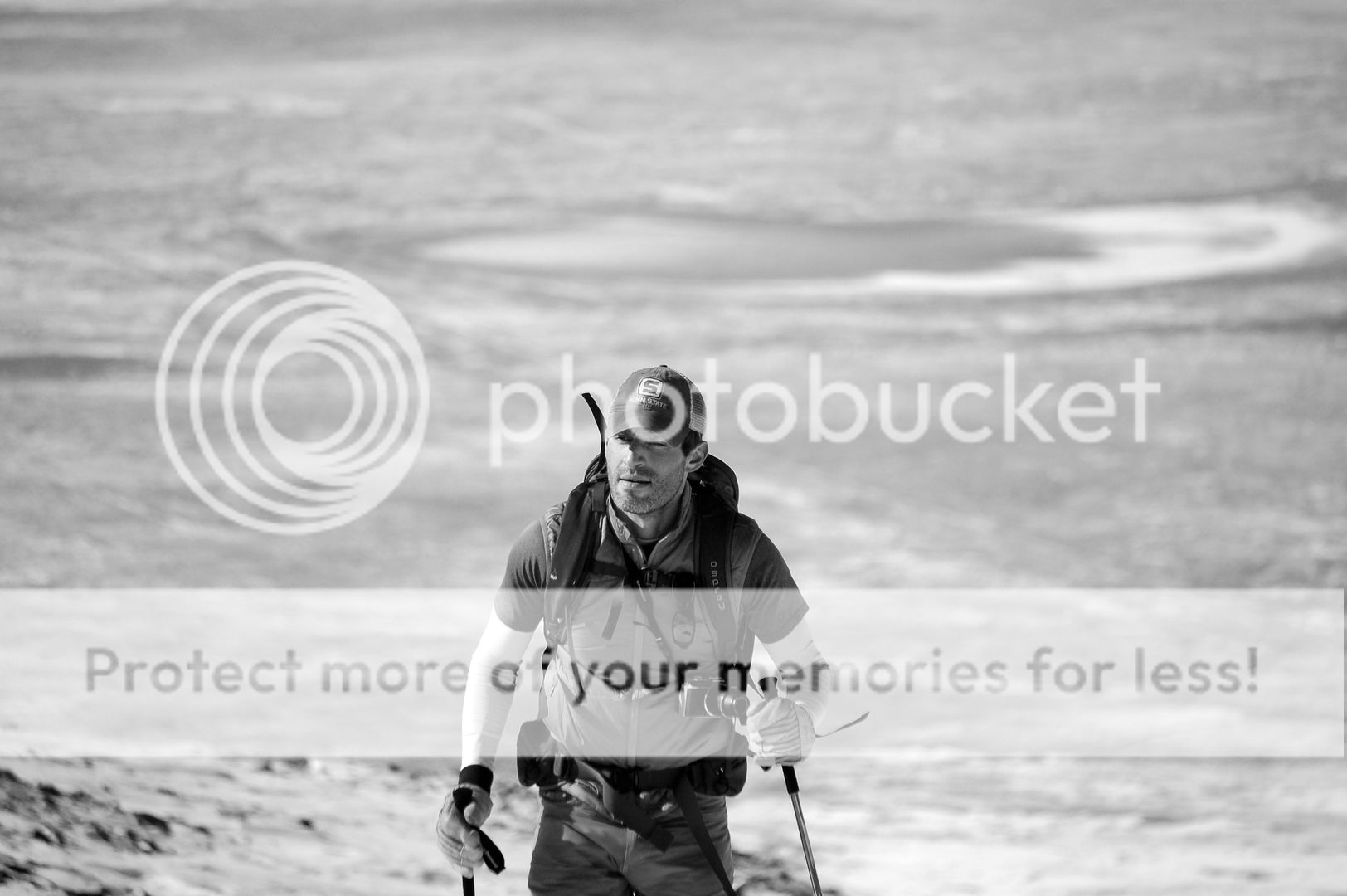

Great read and stunning pics, boys! Congrats on a centennial winter summit! Looks like a nice route to boot. Man, I cannot get over those views and your pics captured the surroundings just magnificently! The mug shots of Dillon are hardcore…they need to go on the cover of the next issue of The Jersey Hiker.
haha, The Jersey Hiker. Keep that mag far away from Sawyer!
Thanks Brandon! Haha…might want to keep ‘The Jersey Hiker’ away from Kristine too, while we’re thinking about it!
^what he said! The pictures are amazing. What a cool place. Like I said on 14ers, well done, nice effort!
Thanks John!
Amazing, guys!!! Well done. 10/10 would agree “pictures are amazing”!!!
Thanks Sam….appreciate the compliment.
This has to be one of the best ways to do that mountain, nice work guys. Zambo – Looks like you’re upping your photography game! Nice shots.
Thanks dooder. It’s mostly just the camera…. 🙂
Zambareeno! Thanks for a long fun day out there, buddy! Centennial Sunday lived up to the hype and the ass kicking. Thanks for the crack pills too. haha. 600 ft over .3 miles and 3000 ft over 2 miles is hard. That’s what I’m taking away from this one. That and the views of the San Luis valley and the meat of the Sangres on a perfect day in January are pretty sick. Your pictures in this write up are are unreal dude. Well done! Silver Stake Steak… who knew. Until next time… Hope you had a solid day on Pikes!
Solid day and a great effort Dill. I’ll never underestimate the power of an ibuproen again! Great idea and suggestion for getting out. Glad we got to do it buddy!
If you want aliens, check out the Pinon Flats Campground in the Dunes around Memorial Day. Camp Dick ain’t got nuthin on those UFG’s (Unidentified F**king Gapers).
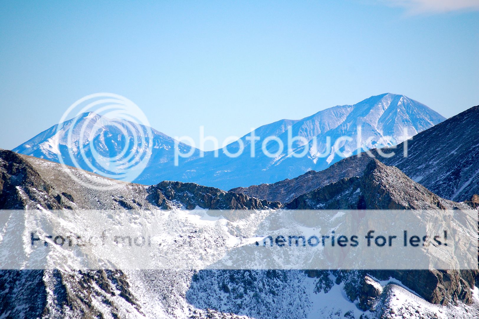
Nice report David, good to see this mountain from a different approach. Its too bad the Spanish Peaks can’t hold snow – those would be some great ski descents.
Looked like a good day in the hill gents!
Ricardo! more fun than skiing inbounds with the tinder ladies? I have a picture to show you. good…lord
Thanks, guys. Great TR, especially the pics.
Zambo, sorry I’m late to the party on this one but that doesn’t mean i’m not thankful for the beta. We were down there last winter and I was curious of how this route goes through the trees. It’s rising on the winter list for sure! By the way, the west ridge of 13,660A in winter is worth checking out but it isn’t quite the gimmie that Furthermore makes it out to be. I’m still not sure if I really loved it or hated it but I do know that the North Fork of Zapata Creek is not the recommended descent route as some tree down there stole my camera.