There’s a little gaper in almost all of us. Not many can pop out of the womb as a prefab Blaurock. I grew up in Colorado and “learned” to ski in Levi 501s. Now I hang out with people who ski routes worthy of films, scramble ridges with some legit badass mountain athletes, and laugh at my former self (I still ski horribly, but I at least ditched the Levis). So in the spirit of goodwill with gapers state-wide in hopes that they can similarly evolve, I offer this report.
My sister, Stacey, and I left Denver at a bit after 5 am on Sunday, July 20 and drove to the Quandary Trailhead. She dropped me off at McCullough Gulch, before turning back down to park on one of the numerous pullouts on the side of the road past the trailhead, as that parking lot is horribly under-sized to match the hordes that hike the standard route.
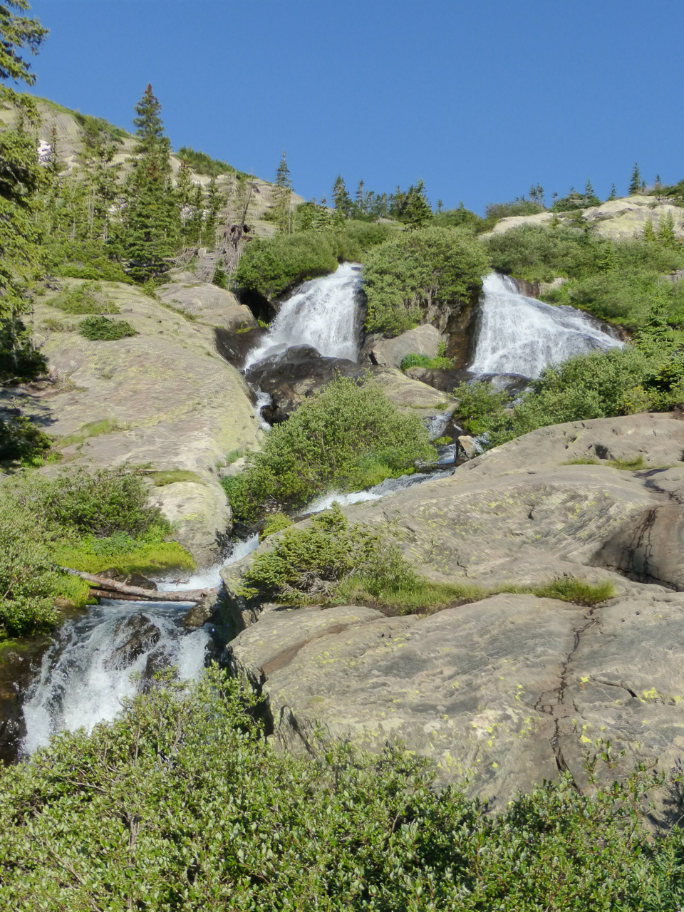
What’s not to love about McCullough Gulch? Short, sweet trail approach with the “White Falls” loop that is so worth the negligible extra distance for a view like this.
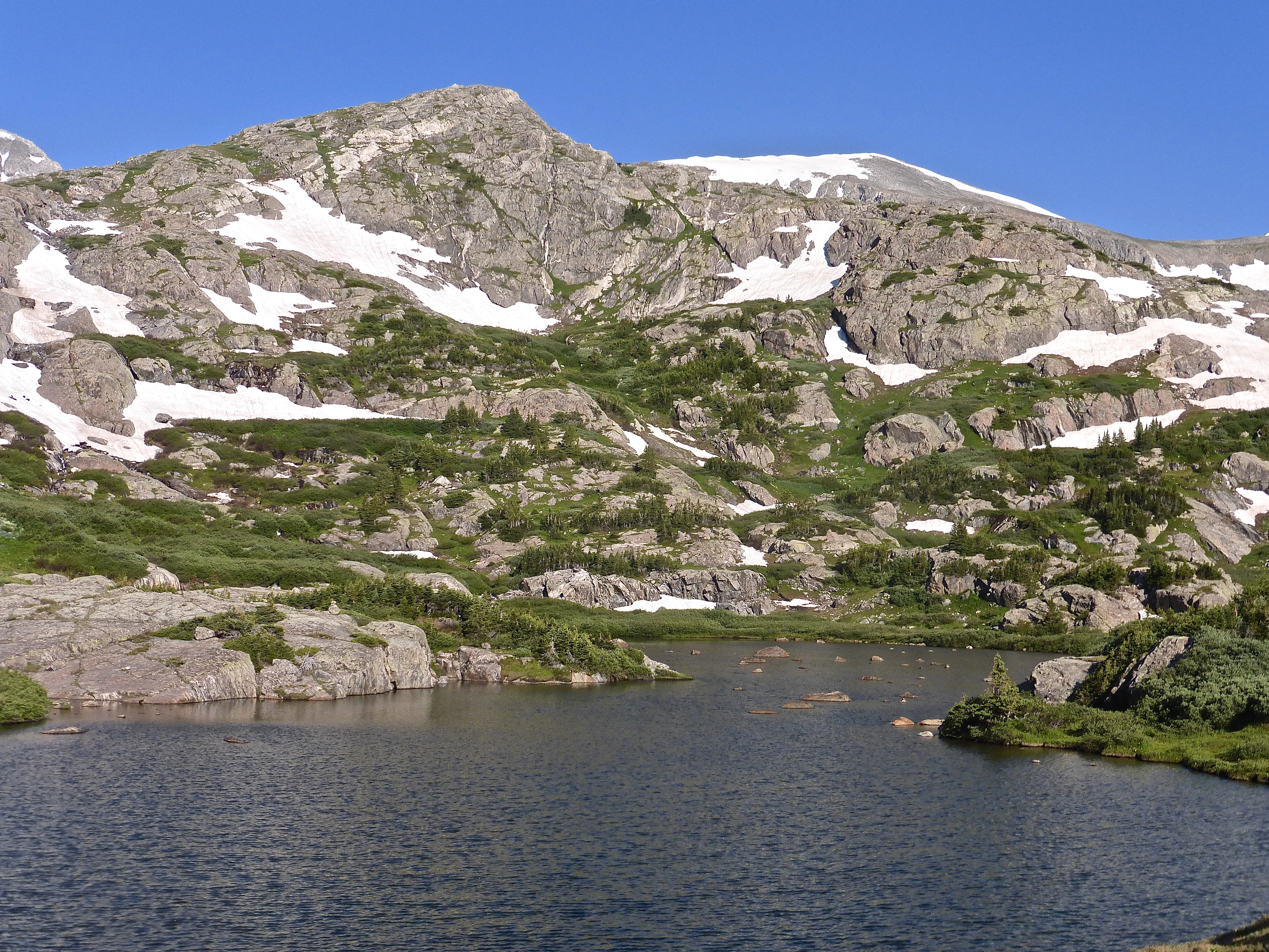
A scenic lake beneath the slabs leading up to the ridge separating this basin from Mayflower Gulch to the west.
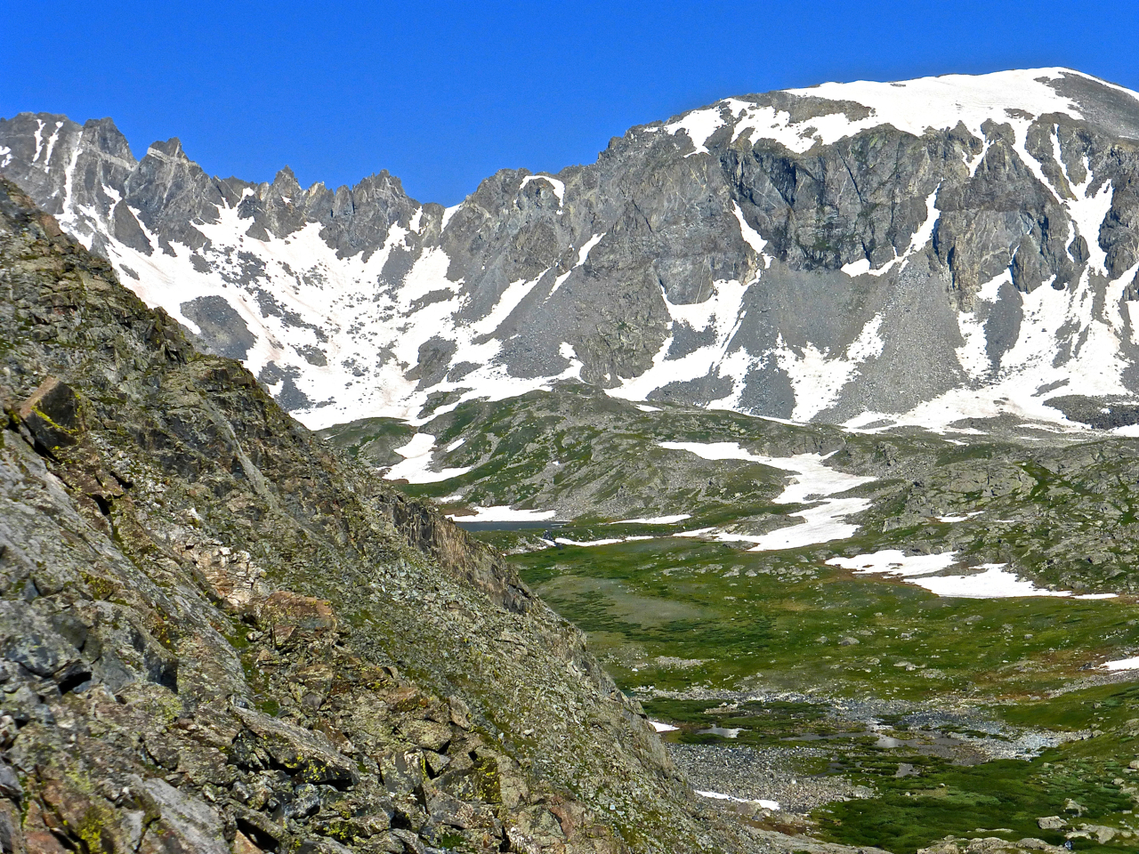
Shortly before getting to the lake, a spur trail to the left takes you to the fun of Quandary’s Inwood Arete. I snapped this photo below, then walked up the main trail to the lake just to verify that this trail wasn’t a Red Herring. It wasn’t. But it’s a small distance from the lake, so if you’re into mountain lakes, then the side trip is worth it.
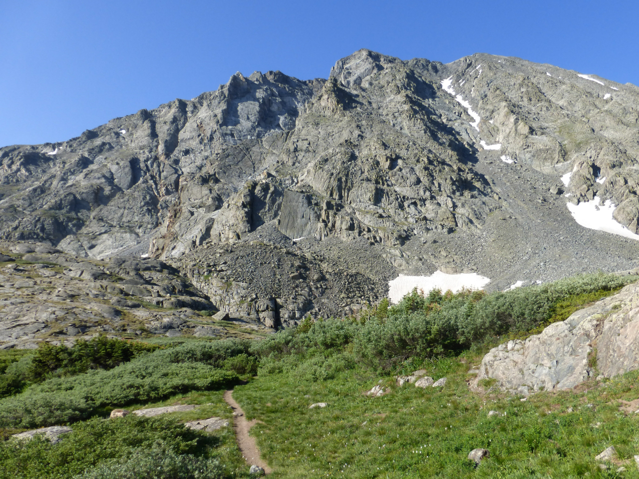
The Inwood Arete is the craggy face from right of center.
In his report on 14ers.com from 2012, Brian C begins on the ridge that angles to the right from left-of-center to the prominent high point. I hadn’t found his report beforehand, and my eye was drawn to the features below, which are a close-up of the triangular section just right of a vertical line from the path in the preceding photo:
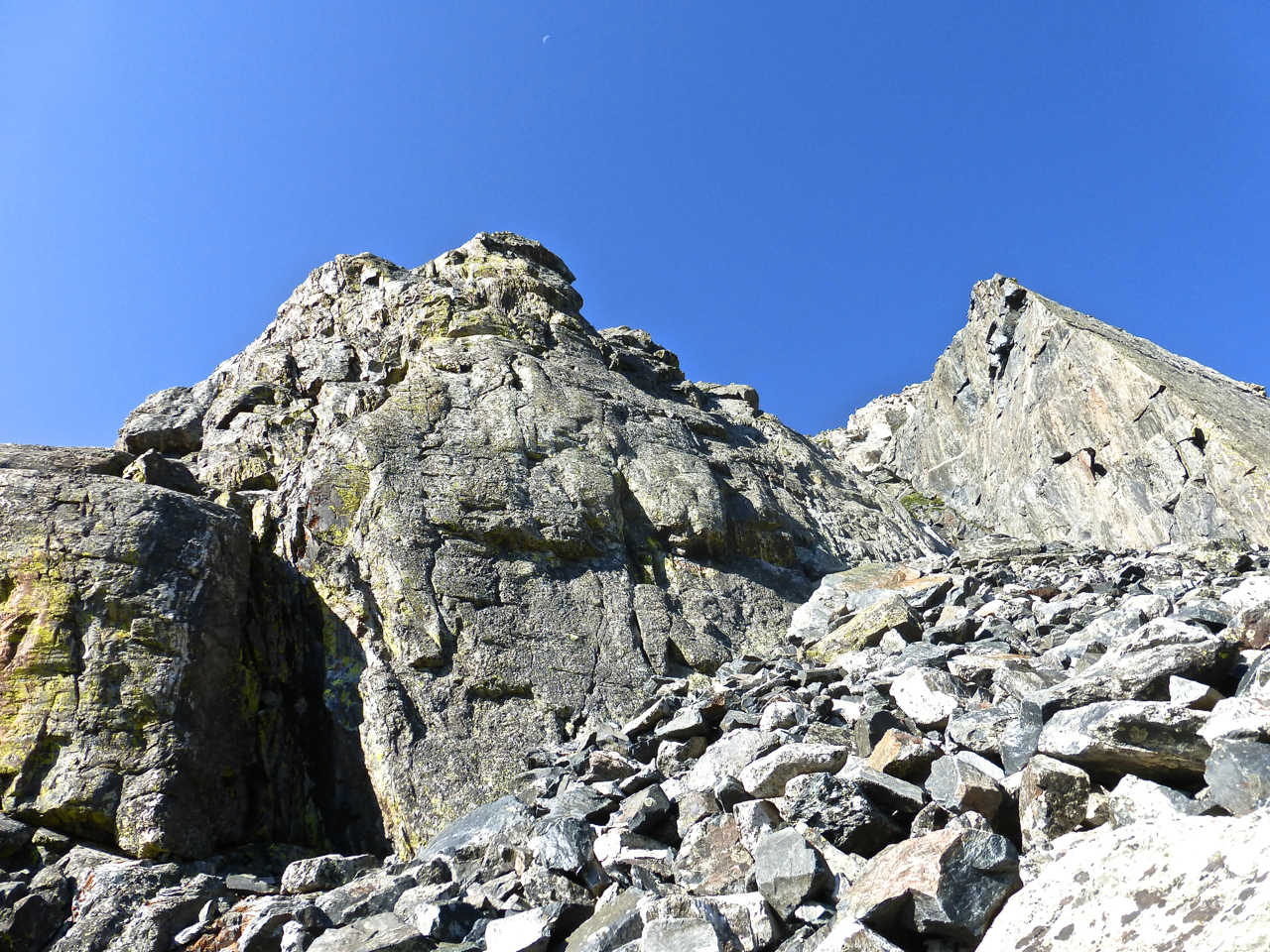
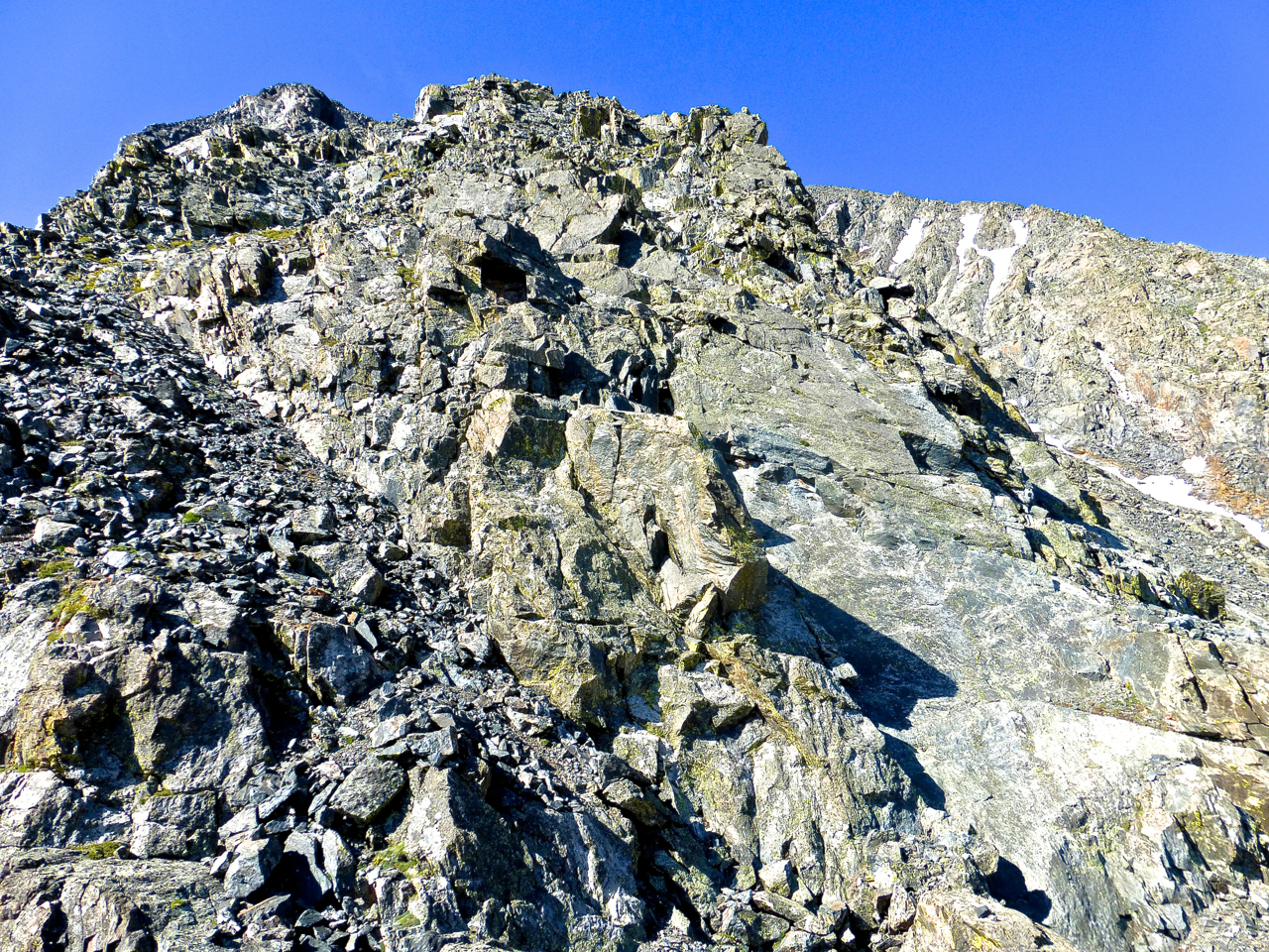
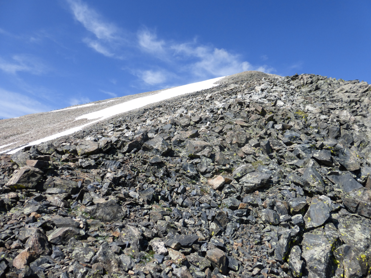
From here, to use one of the most prevalent (and still one of my favorite) Roachisms, the introduction is over. Originally, I thought this face in front of me might hold some class 4 terrain; upon a closer look, it was all 5 and not the easy 5 I’m used to scrambling up carefree. So I trudged over the fallen blocks and trended rightward around the face. This is what I found:
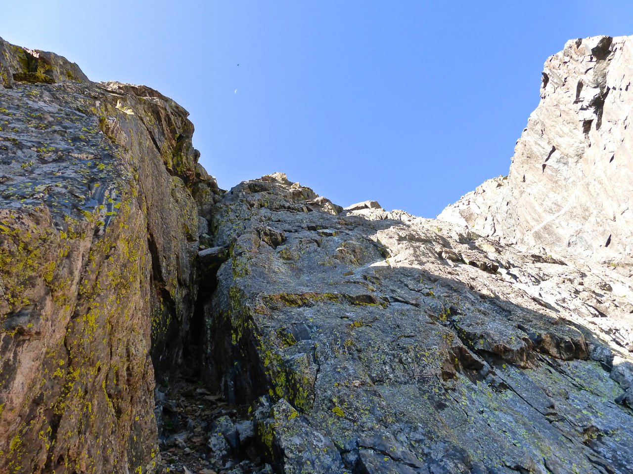
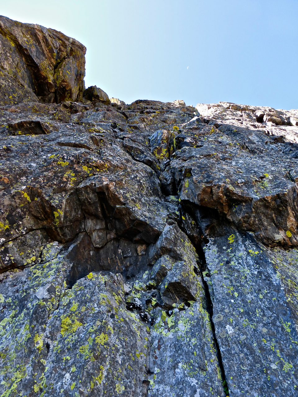
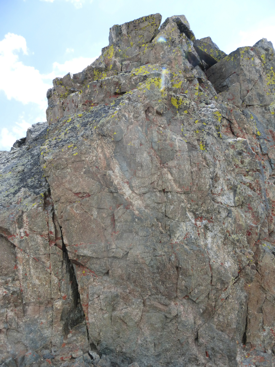
There seemed to be an upward way (left of the steep face at left) that began at class 4, but it quickly steepened. I found myself looking up at this, and yes, I think there was an easier way further onto the right around this face but it probably involved a loose gully of crabble (crappy rubble) and I was here to climb, not trudge. So I scanned around for a likely start and made what was the crux move of the climb, some sort of counter-force with my feet to allow a lie back with my fingers of my left hand in this crack, to then connect a right handhold farther up, and shuffle up with feet to quickly easier ground. I’ve done plenty of scrambles but am poorly versed in technical climbing, I’d say the move went at 5.6 or 5.7 and stretched the limits of my approach shoes.
After this quick bit of hard scrambling, the difficulty quickly eased into a choose-your-own adventure of anything from class 2 to class 5, with plenty of solid 3 and easy 4 in the mix. Whereas Brian C’s report shows a line trending from a start at far left to angle right, my path angled left to ascend the slabs making up the arete’s eastern edge.
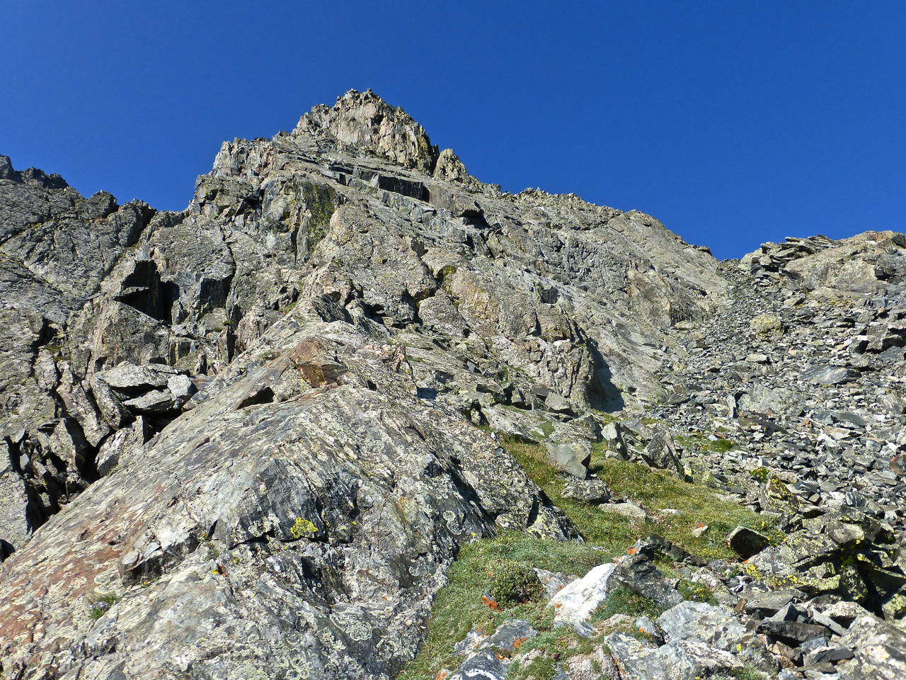
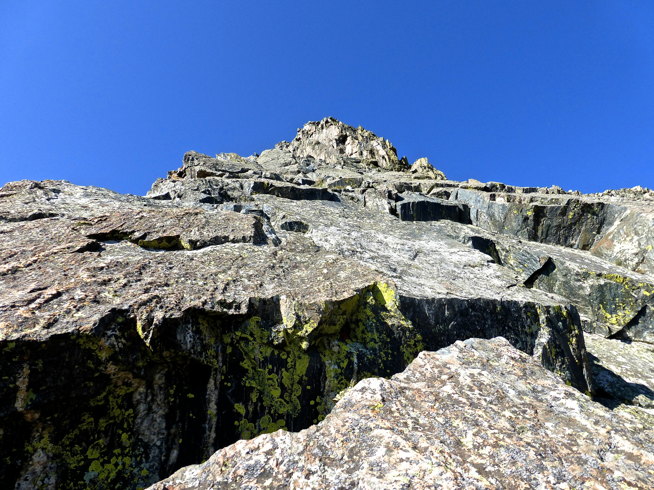
Quick progress took me to the following delightful fractured slabs that can be glimpsed below the pyramid from the prior shot:
This was some big juggy stuff; looks imposing in my photo but seemed trivial at the time to climb – just steep class 3. It was from somewhere just after this section that I glanced westward and saw this stunning view of Mayflower Gulch.
Above the fractured slabs, still hugging the eastern edge of the arete where it juts out from the mountain, I came upon the second hardest move of the day. I’d rate this one only 5.3 or 5.4; it was just the exposure that made it harder. I took no photo because I looked at it in upper perplexion, wondering how such a simple thing could stymie me. The face was granitic but fairly smooth at my chest level, with a flat ledge above that was devoid of cracks or holds. The rock was rougher and better on it’s left, which is also the sheer side overhanging a fifty or sixty foot drop into a choss-choked gully. I fretted and felt about, considered a traverse right across the face before finally planting a toe hold on the left with an under-cling from my right hand to boost up over the ledge and onto abruptly easier rock.
From there, it’s really a broad face with plenty of routes to choose and several spans of easy two terrain up grass or talus to connect scramble sections. I eschewed any of the loose rock, only using one section of grassy ledges, but otherwise keeping my route to a solid rock scramble,which was mostly class 3.
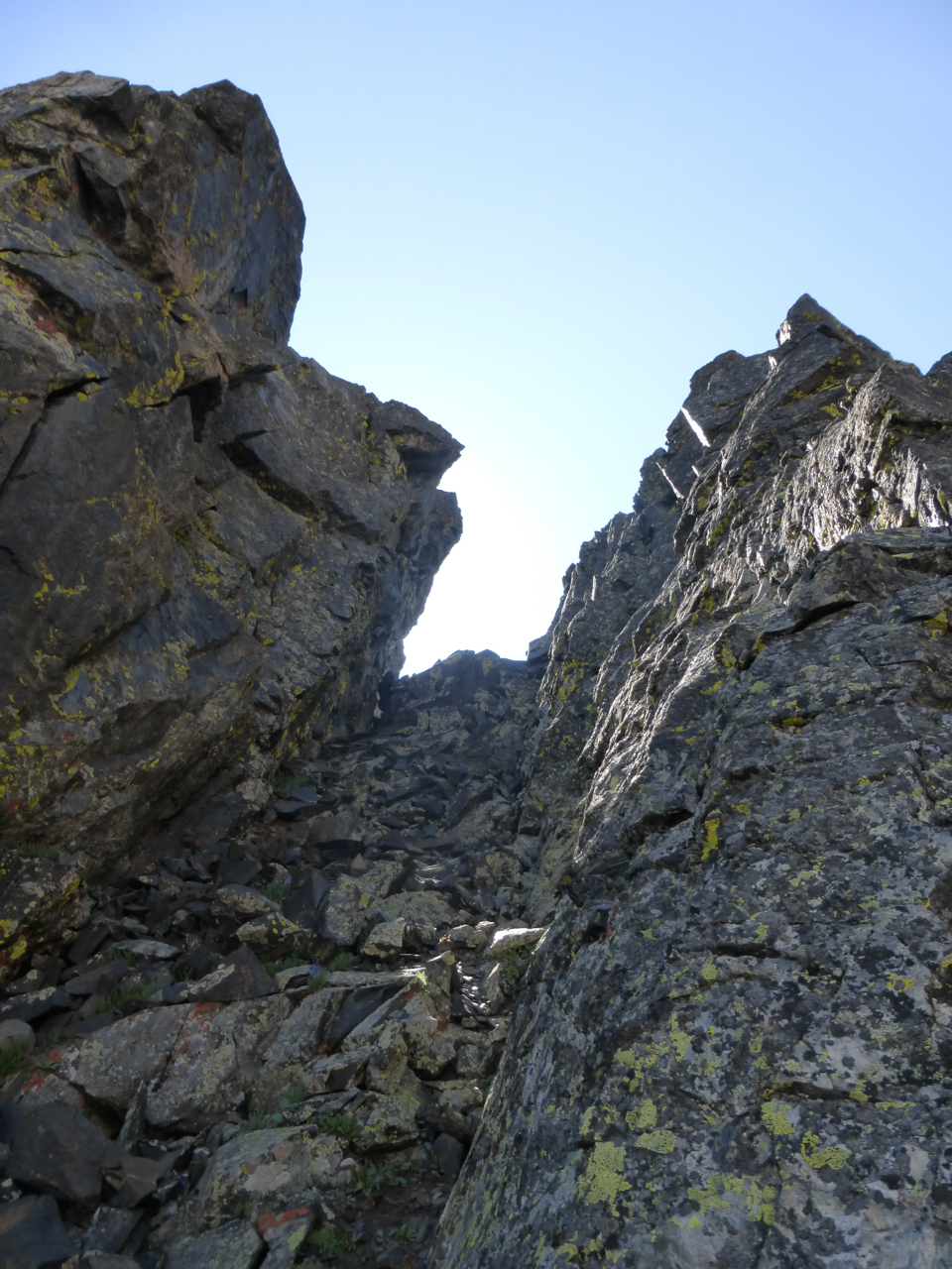
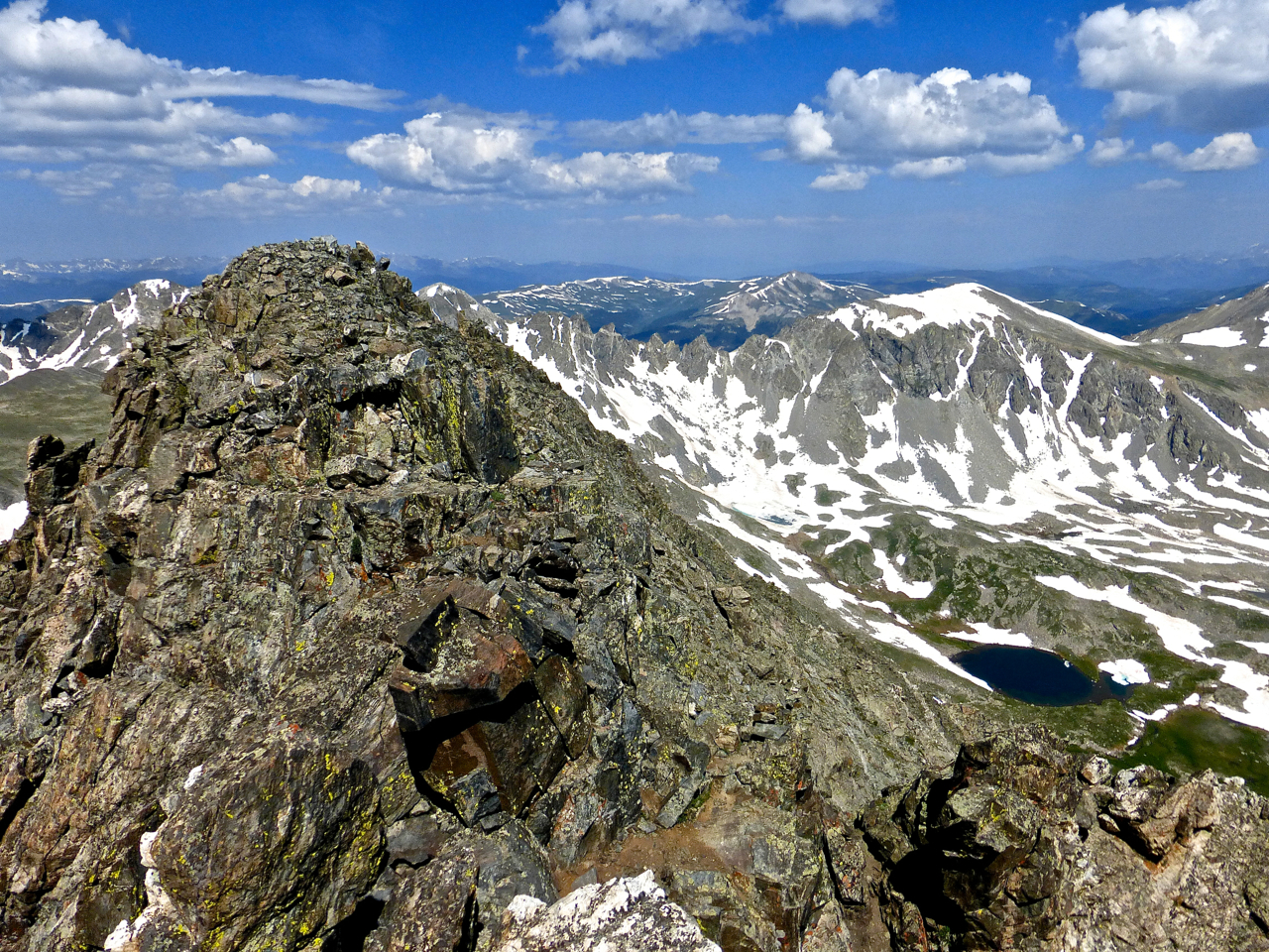
From this shot below of the upper route, you can also glimpse a couloir angling in at the right, below the rest of the Quandary’s north face. In general, the ground was much easier here than on the lower two-thirds. Still, between here and the top, I had two towers to confront.
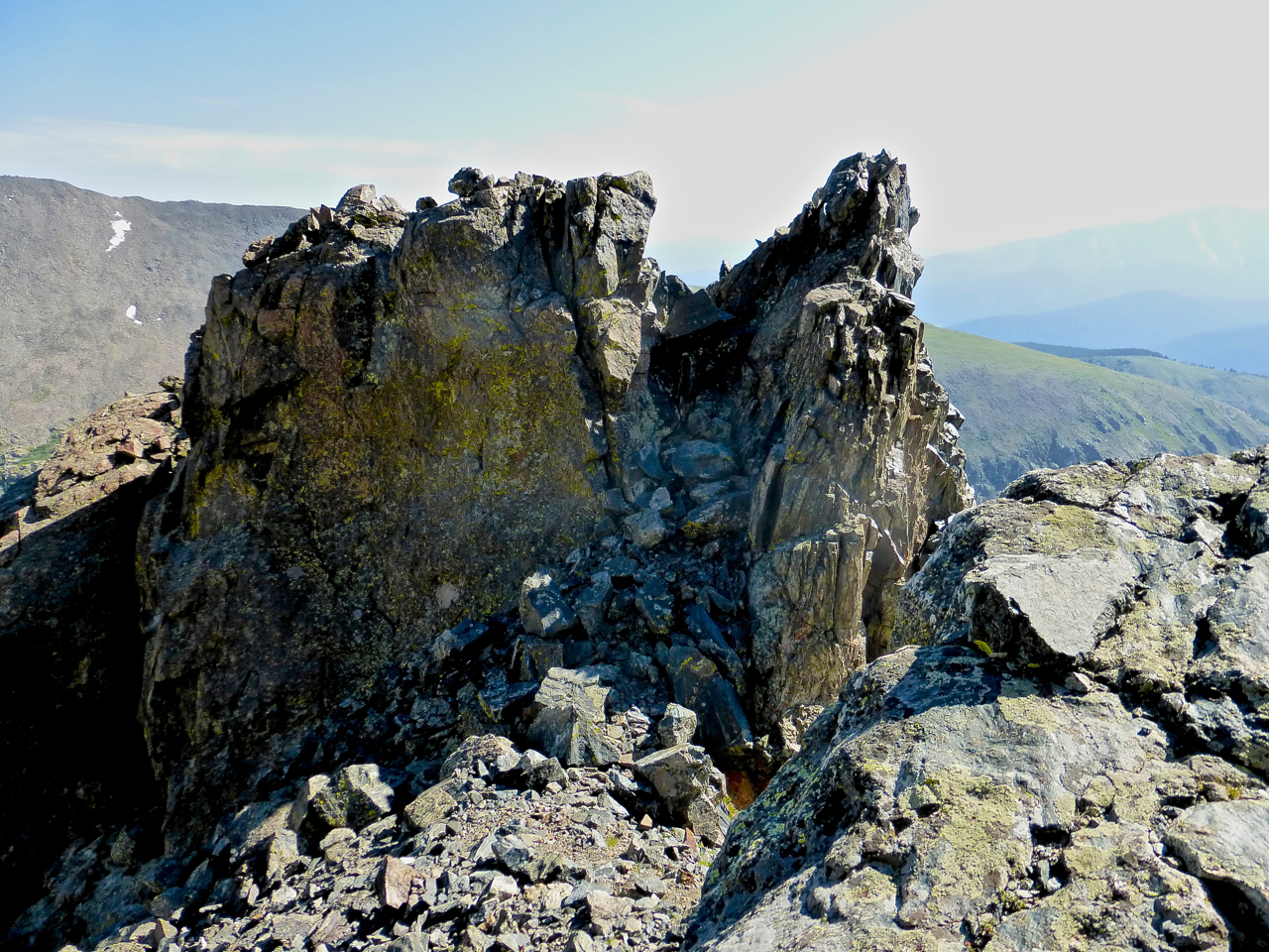
And the second one, which proved easily climbed from below but from which I had to backtrack a bit to downclimb on the right. This is the tower that Cooper in his Scrambles book advises a downclimb rather than a jump across the gap. I knew I wasn’t ballsy enough to jump.
All of a sudden, I found myself on Quandary’s east ridge, not too far from the summit. It had been just about exactly two hours from when I began climbing the arete.
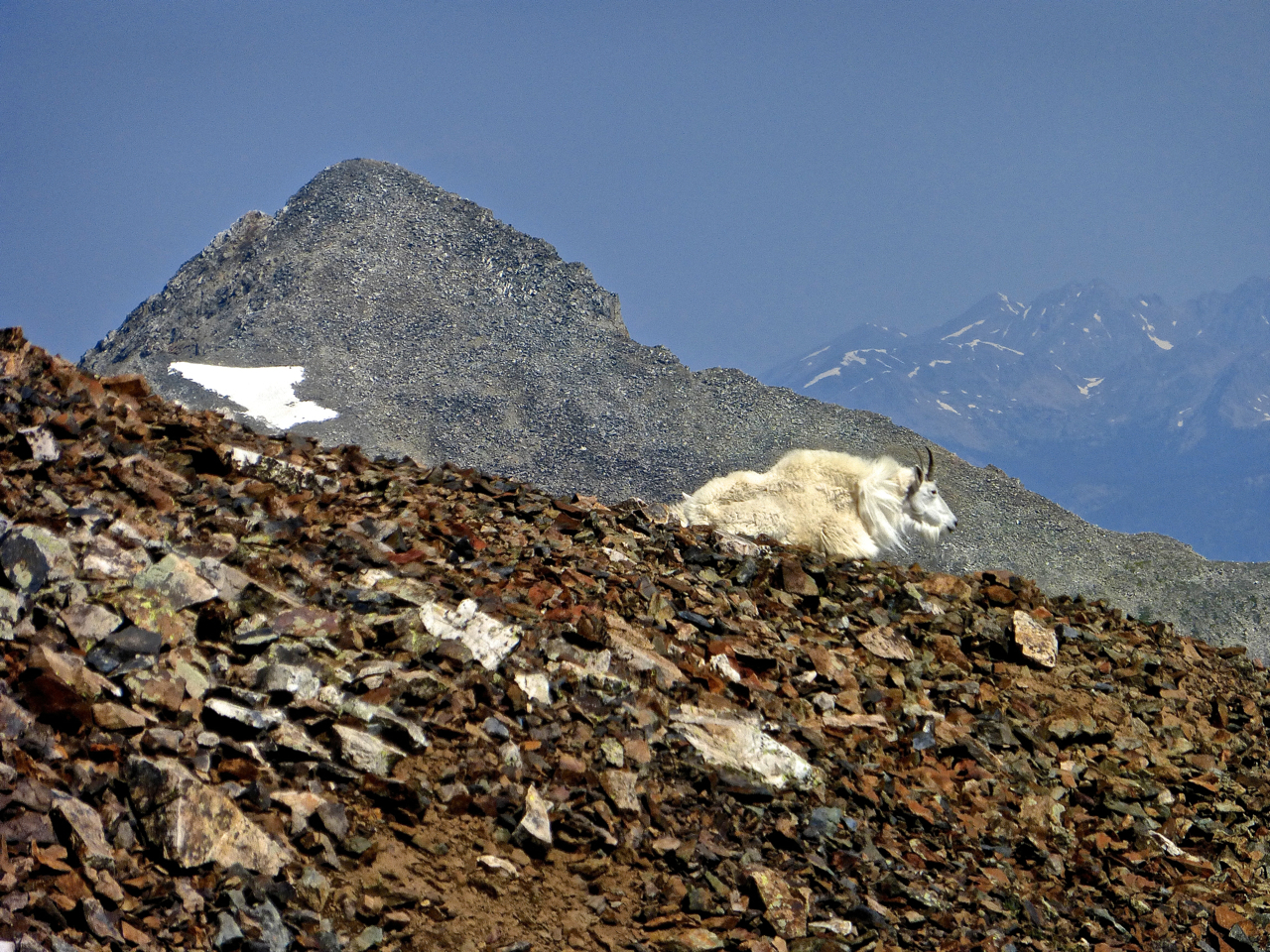
I was happy to find a fellow mountain lover up here. I believe it’s Crystal Peak and not Pacific Peak in the background, but not certain.
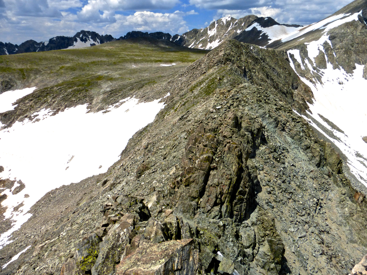
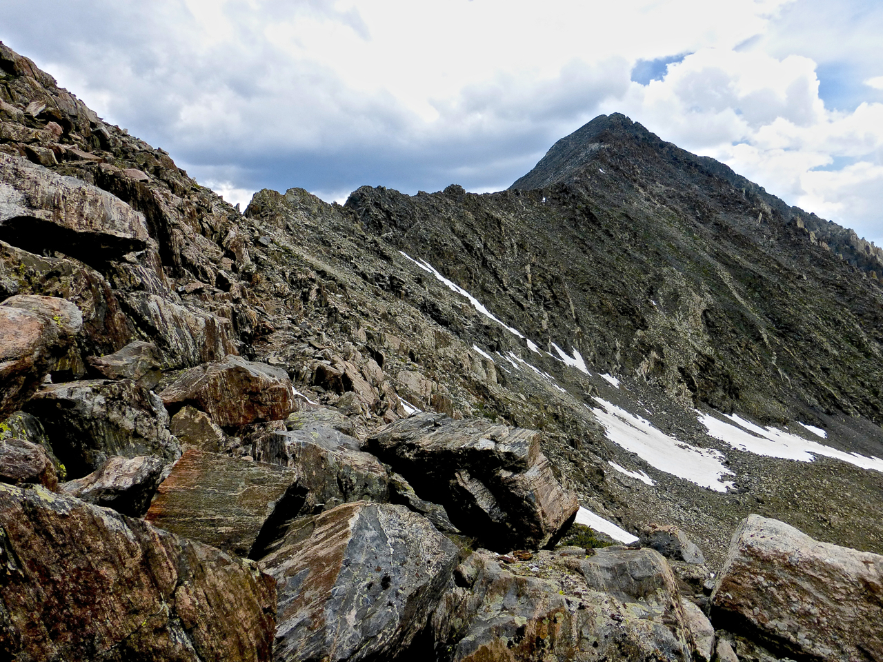
So fast forward, I scurry up the scree, soon merging into the sea of humanity pilgrimaging to Quandary’s summit, and proceed onward to the west ridge, where terrain once again gets interesting. The ridge drops, and then a first tower is easily scaled and down climbed, then three more towers appear in quick succession. For the experienced scrambler, these towers offer no real challenges: the route-finding is readily apparent. I found bypasses on the right (north side) from the top of the middle two towers. Coming from the west, these towers would have been directly climbable.
The ridge drops pretty low on its way to Fletcher. The peakbagger looking for efficacy of movement above all else might ditch the ridge to drop an extra hundred feet or so and progress on easy class 2 terrain. I didn’t consider that, and was surprised to find myself cliffed out.
I backed up and found a sensible descent southward and progressed just to the south of the ridge from then until the turn of the ridge and begin of the climb to Fletcher.
And from this same spot, the way ahead to Fletcher looked steep but went surprisingly fast (21 minutes from the snapping of this next one to the one after, which is only a minute or two from the summit).
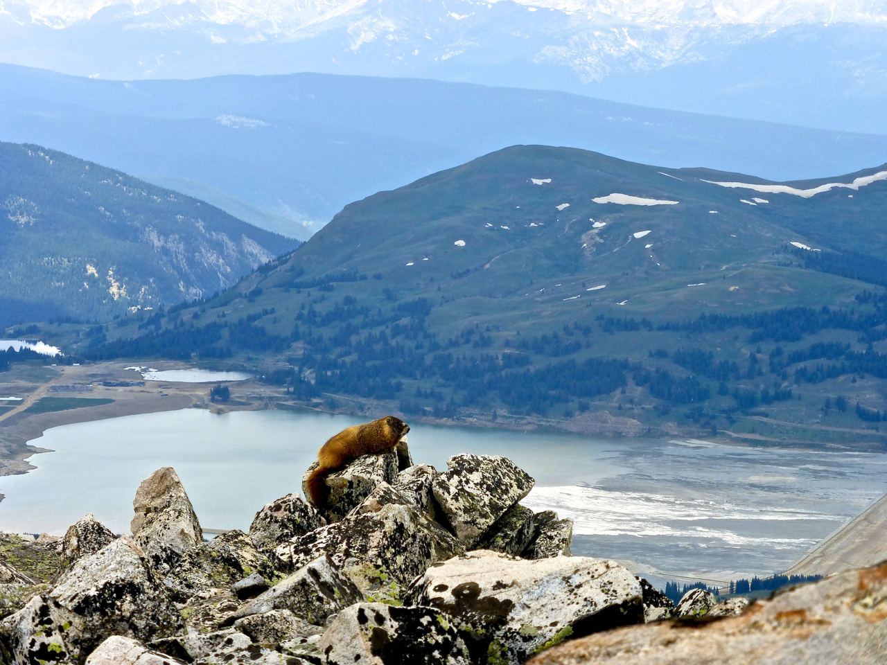
Just past the true summit of Fletcher, this lazy guy was longing for the far-off beach below.
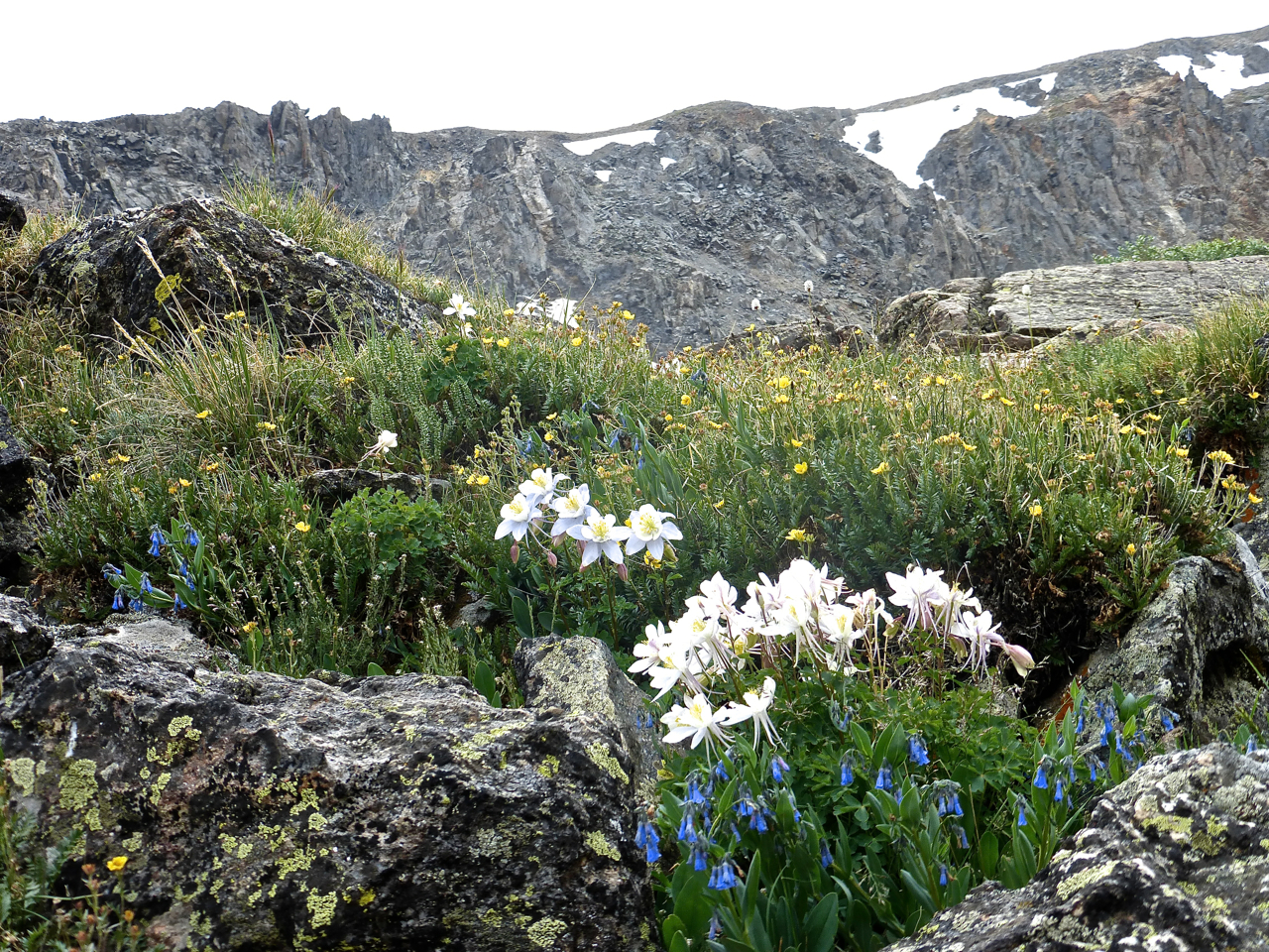
So now what? On the summit, I checked the time and, while it had taken two hours and ten minutes to negotiate the ridge from Quandary to Fletcher, this summit seemed small and insignificant, a mere bump on the ridge from a higher neighbor, and not a true mountain to itself. Funny how small it seemed from this side, than from the Mayflower Gulch side. Looking southwest, Drift appeared just as high or higher – and far more rugged. So what the heck, I headed that way, doggedly pursuing the ridge until I found myself cliffed out magnificently. That involved a circuitous downclimb, as I had to avoid a steep snowfield, having neither ax nor spikes/crampons. But I then found myself in a gorgeous basin of wildflowers that is separated from the basin below Fletcher and Quandary by a rounded ridge. There were also some mining relics here – old timbers and a rusted out sink.
I made my way across this grassy basin, side-hilling gentle slopes and attracting the attention of cautious deer, before descending a headwall riddled with easy class 2+/3 weaknesses to rejoin the trail from Blue Lake.
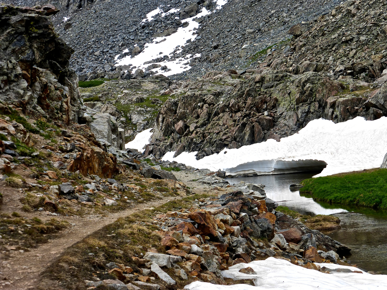
On the trail, the creek had undercut this snowfield, creating a neat looking creek-cornice.
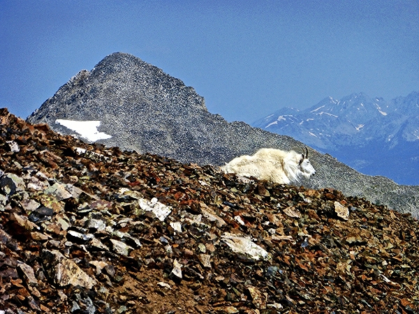
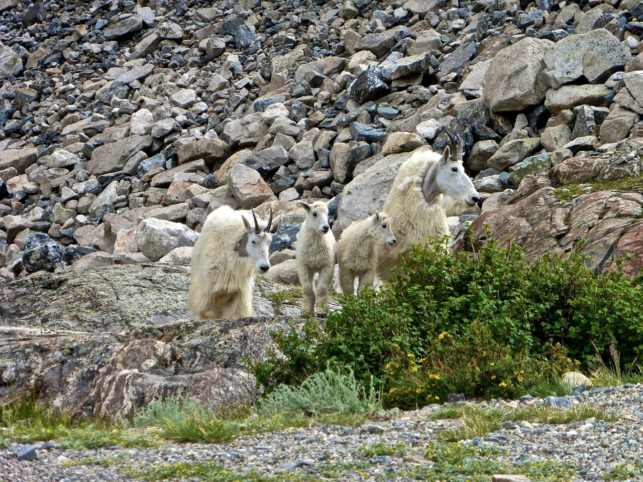
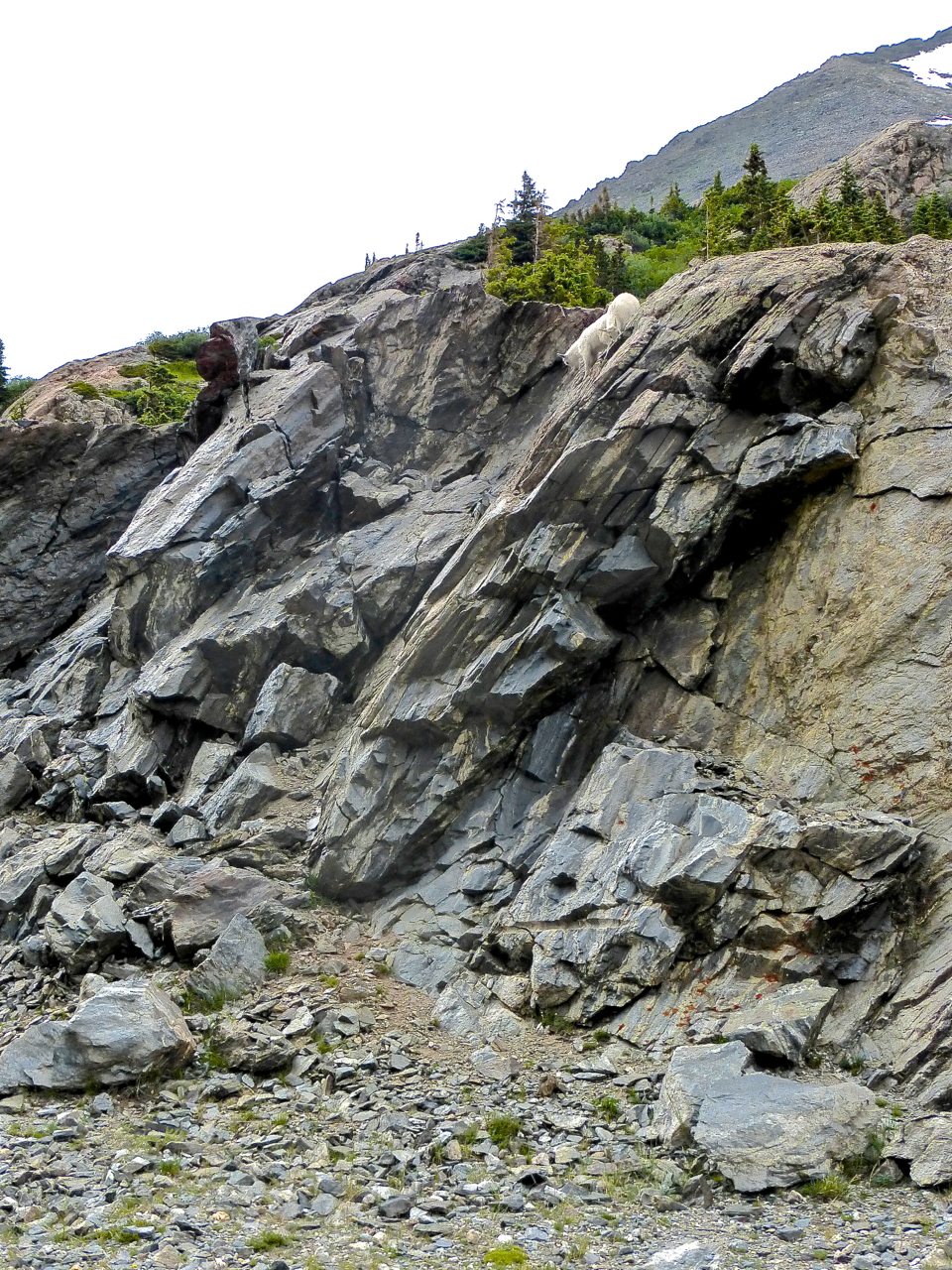
At the Blue Lake trailhead, I found tourists all about, gaping at the families of mountain goats idling about, and I gaped with them.
My sister was waiting for me back at the vehicle, so I didn’t tarry long but began the jog down the road. About three quarters of the way, a nice guy in an ATV offered me a ride to the Quandary trailhead. I then trudged up the road to meet my sister, and to conclude a truly memorable tour of Quandary.



Sweet stuff sir! I climbed this route with Zambo a few years ago and we too found that first pitch to be the most fun section of the entire route. I remember trying to lead it and not being able to get a good gear placement anywhere due to wet rock, so at some point I just said “screw it” and soloed on up. Not something I’d necessarily like to repeat on a daily basis, but it thankfully worked out. Nice job adding Fletcher as well. I like the marmot, goat, and flower shots too.
P.s. Check your email!
Stevo! Nice report boss. I didn’t realize Gendarme Steve could get cliffed out! 🙂 I was up in that area on Atlantic & Pacific from Mayflower the week before you and considered descending Pacific into McCullough and adding Fletcher, but then I saw how much snow was still in that basin! Nice job man. This looks like a great route and traverse. Good job with all the details too. Very informative. PS – Enjoy your Wemi trip coming up, be safe down there and take Benny off your spam list. 🙂
Thanks, Ben and Dillon. It was a really great day out-reminded me how great this state is. I mean, the Sangres, the Gores, the San Juans get the lion’s share of our mountaineering attention (for good reason), so it was fun to get in a super solid scramble and some solitude on one of the most traveled fourteeners.
The perfect route for “Mr. Path of Most Resistance”! Not that I’d expect you to gape your way up the East Ridge… : ) Looks like a fun outing. Good evidence that there are cool routes to be had all over the place.
Ditto what Benny said. After the first pitch (which was actually a pretty cool crack), we basically kept looking for the next place to rope up and never really found it. I just remember walking on slabs and finally we said “screw it”, put on approach shoes, and just scrambled the rest of the way up. It’s a obscure little line for sure.
Regardless, it’s still pretty cool to see that side of the mountain – a much more wild side of Quandary. I’m glad you got out on a good day and had some sweet pics as well. Thanks for sharing!