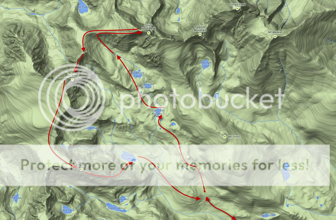
Peaks: Chiefs Head Peak (13,579′), Mt. Alice (13,310′), Tanima Peak (12,420′)
Date: 7/26/14
Distance: 18.25 Miles
Elevation Gain: 6,600 Feet
Climbers: Zambo (Solo)
Running Wild Basin: Chiefs Head to Tanima
If there is one thing I think I am good at, it is endurance sports. It has been that way for pretty much my entire life. Growing up, I was always athletic and did well at all kinds of sports,* but regardless of what it was, I was almost never the fastest guy, or the quickest, or the strongest. In most of those things, I have always been content to be well rounded as opposed to really excelling in one area. The one exception to this has always been my stamina.
(*Except for basketball – I am absolutely terrible, despite the fact that I am really tall. When most people see me dribble, their reactions reflect what I like to call, ‘The Stanley Hudson Effect’.)
For as long as I can remember, almost regardless of the activity, I have been able to be the last guy standing. It is just something that has always suited my determination and body type well. Plus, I have found that exerting yourself for a long period of time can actually be a lot of fun (strange for most people, perhaps, but most likely not to those on this website).
It is no coincidence then, that I have enjoyed being a runner since I was young. I have logged countless miles over the years and I have also found running to be the absolute best thing in the world to think, to reflect, and to just decompress. Endurance sports do that like nothing else can. I have run in the odd race here or there as well, and even done a few marathons, but for me, running has always been about getting in touch with the introvert within. It is a mostly solitary pursuit.
With all that said, I sometimes wonder why it took me as long as it did to get into trail running in the mountains. Maybe it was the altitude, or the steeps, or the challenge…or maybe I just needed to hike a ton of peaks before I felt like I knew enough to try to jog up one. Whatever the case, I have been making an earnest effort this summer to combine my love for running and the high places of Colorado. In short, it has been awesome. Like a rock climber or a skier, trail running brings with it a whole new set of eyes with which to evaluate possible routes and peaks.
All this led me to Wild Basin and the peaks settled deep within. After a fantastic outing last Fall up Isolation, I was itching to get back and hit the other high peaks in the Basin: Alice and Chiefs Head. After doing the requisite homework online, I realized that these peaks were well suited for a trail run. The excellent trails of The Park and the gentle angle make for good opportunities. This would be important too, since their summits are nestled nearly 9 miles away from the trailhead – a lot of ground to cover. This trip was a good one to solo as well, as most of my usual partners have either climbed these already or were preoccupied with their own pursuits this weekend.
The familiar drive to Rocky Mountain National Park led me to the Wild Basin trailhead at 5:15, just as the morning light was starting to creep up in earnest. My primary goal was to hit both Alice and Chiefs Head. I decided I would make the call on Tanima later depending on how I was feeling and the weather. Either way, I knew I would need to be quick throughout the day in order to be down ahead of the afternoon monsoon. The early morning jog up to Lion Lakes #1 went as well as I could have hoped for. The trail is very, very gradual to the first turn off approximately 1.5 miles in. From there, it steepens a bit as it winds its way past the four primary campsites of Wild Basin. Further along still, it passes the Thunder Lake junction and begins to climb a bit more aggressively beyond the Lion Lakes turn off, nearly four miles up the valley. I wound up reaching the first lake approximately 1:45 after starting out, having enjoyed every bit of the first 6+ miles of the day.
Wanting to travel light, I had only packed in a liter of water for the first stretch. So, I used this spot to refill of my camelback and take a quick break. The Lion Lakes area would be a pretty awesome spot for a campsite, if it was not quite so far up the valley (or not allowed). Regardless, it is an awesome place to enjoy the views of Alice, as well as the basin beyond. Lingering clouds remained from the night before, providing a much appreciated shield from the July sun. The bugs were down, the temperatures were perfect, I was feeling good, and I had not seen a soul since departing. Things were shaping up to be a great day.

The trail runs along the western shore of the lake before running out at its northern edge. At this point I crossed a small stream and made my way back west, picking my way through scattered willows, trees, and some very easy cliff bands. There were dispersed cairns along the way which gave confirmation of my path.

Climbing higher still, looking back above the first lake with all of the Wild Basin approach stretched out below.
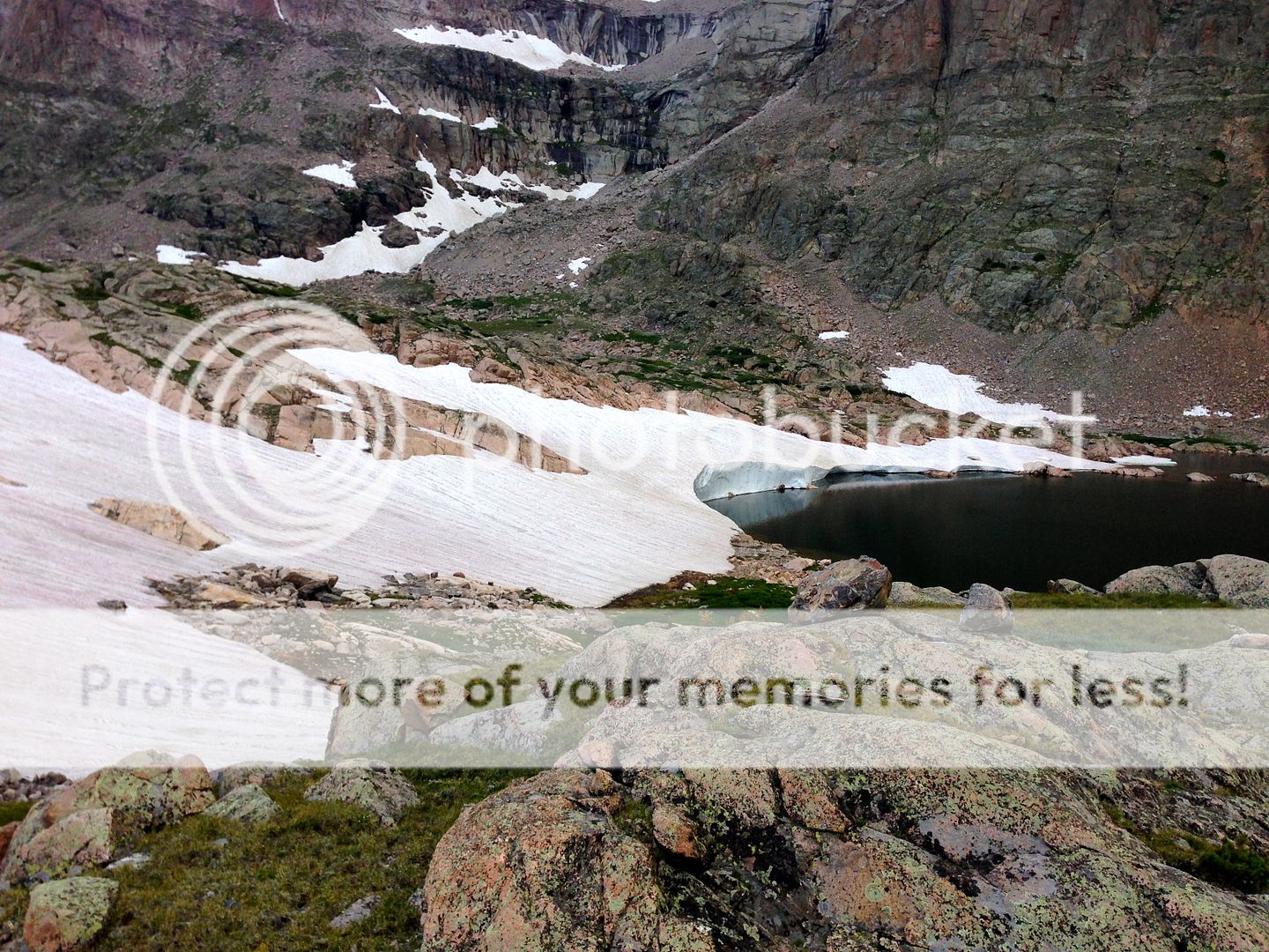
Making quick work of the hike to the aptyl named Snowbank Lake, the uppermost pool in the valley. The 10-15 foot headwall of remaining snow gave testament to the big winter that RMNP saw last year.
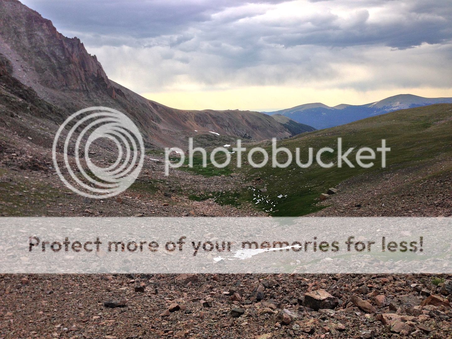
Looking back down on the upper basin beyond the lakes. Beyond the water, it is mostly boulder hopping and talus negotiating to the Chiefs Head-Alice saddle. As the terrain steepened and became rockier, I was more than content to give up on the running and simply enjoy hiking to the heights above.

Looking ahead to the saddle. I was able to save some distance by contouring a bit to the right as opposed to going straight up the middle.

Keeping a watchful eye; Alice would occasionally poke her head up from beyond the ridge as I made my way up the gorge.
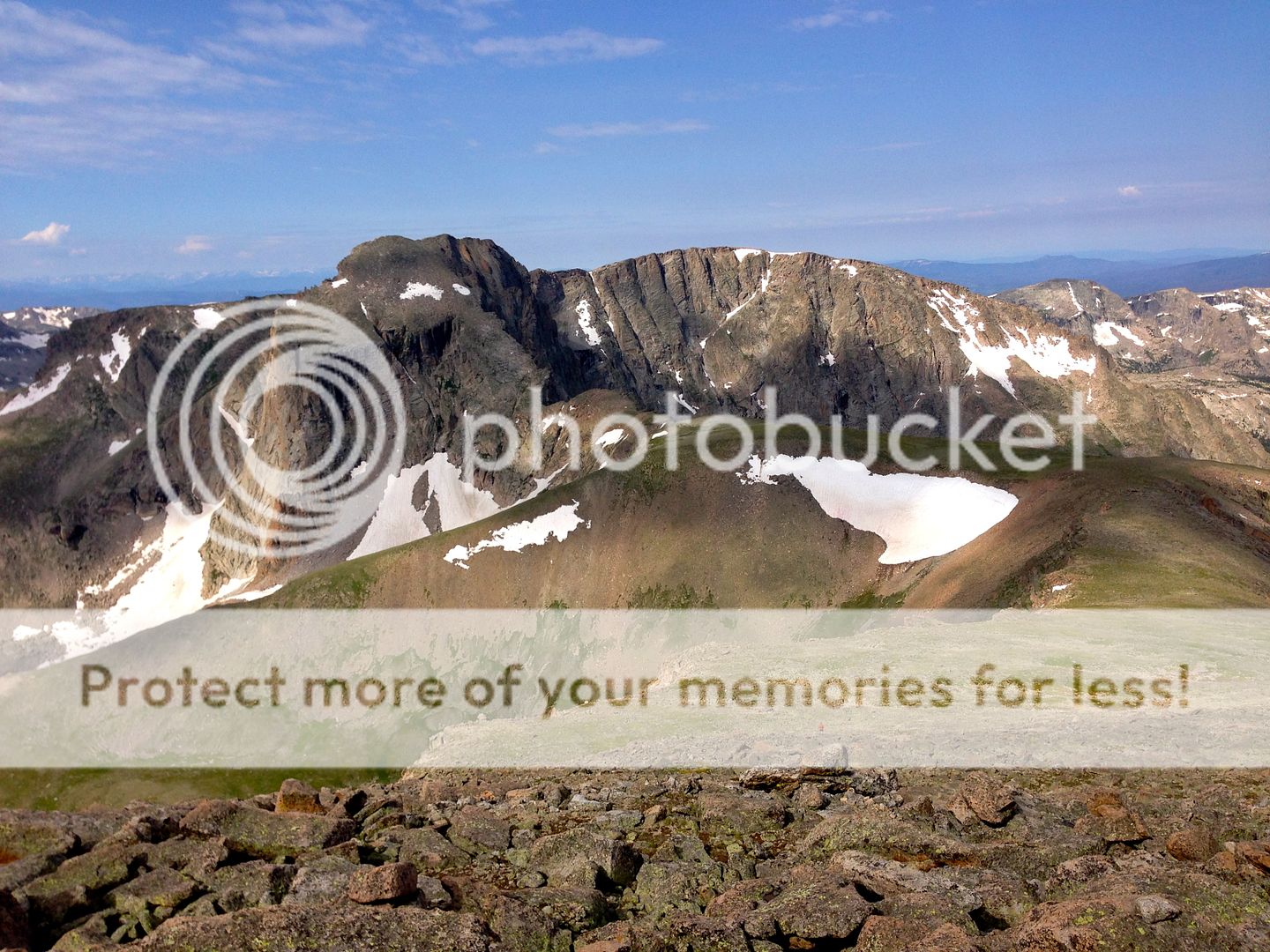
The saddle between these two 13ers is right at 12,500′. It is roughly another 1,000 feet up to Chiefs Head and 800 over to Alice from there. The terrain up to Chiefs Head is mostly gentle upslope, starting with some mixed grass and moss before transitioning over to large boulder hopping nearer to the summit. The ridge has a few surprises as well, as it chokes to a pretty narrow point just before the top. The relief off of both the north and south sides of this ridge is spectacular, with a few semi-exposed moves near the end just to keep it interesting. I topped out 3 1/2 hours after getting started. The sun broke through the clouds for the first time all day just as I rested and took in the wonderful views.
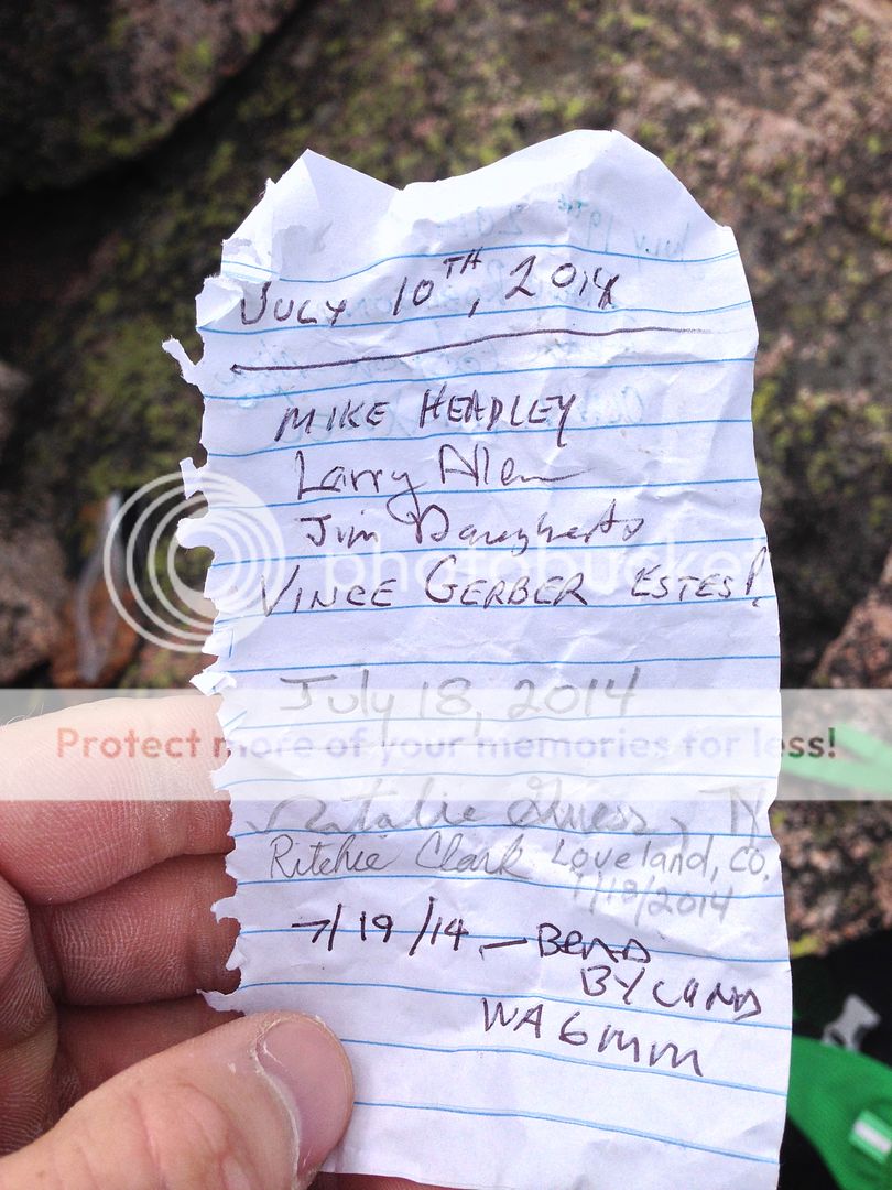
All that is left of the summit ‘register’. I often find myself a bit disappointed that it seems like registers have fallen out of favor the past few years. It seems like most of them are either whored out on 14ers, removed from prominent 13ers, or simply left in tatters like this one. It is a very cool tradition, IMHO – I just wish I found more intact than missing or destroyed.
Probably 5-10 minutes from the first summit, I turned around and saw, much to my surprise, another trail runner hastily picking his way up the rocks a few hundred feet below me. I was shocked that someone else was out here, doing essentially the same thing as me. I waited for a few minutes on the top and he arrived shortly after I did. I did not catch his name, but had run up my same route, starting a half hour or so after I had in the morning. I chuckled to myself as I was humbled by his speed – remember I never said I was the fastest guy in the world? Putting aside any notions of pride, it was actually really comforting to see and talk to another human way out here. He also gave me some great beta on the route to come, for which I was very appreciative. It is always awesome to meet other like-minded folks in the remote corners of our state.
Leaving the summit at the same time, I watched as he effortlessly hopped down the boulders ahead of me. Short guys, man…..they kill me on the downhills. 😉
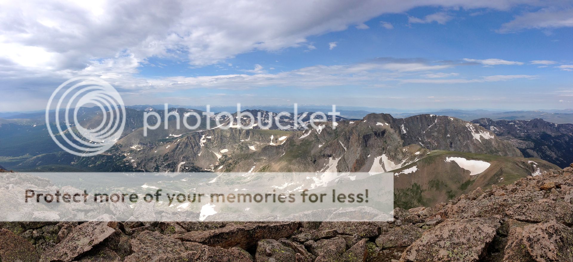
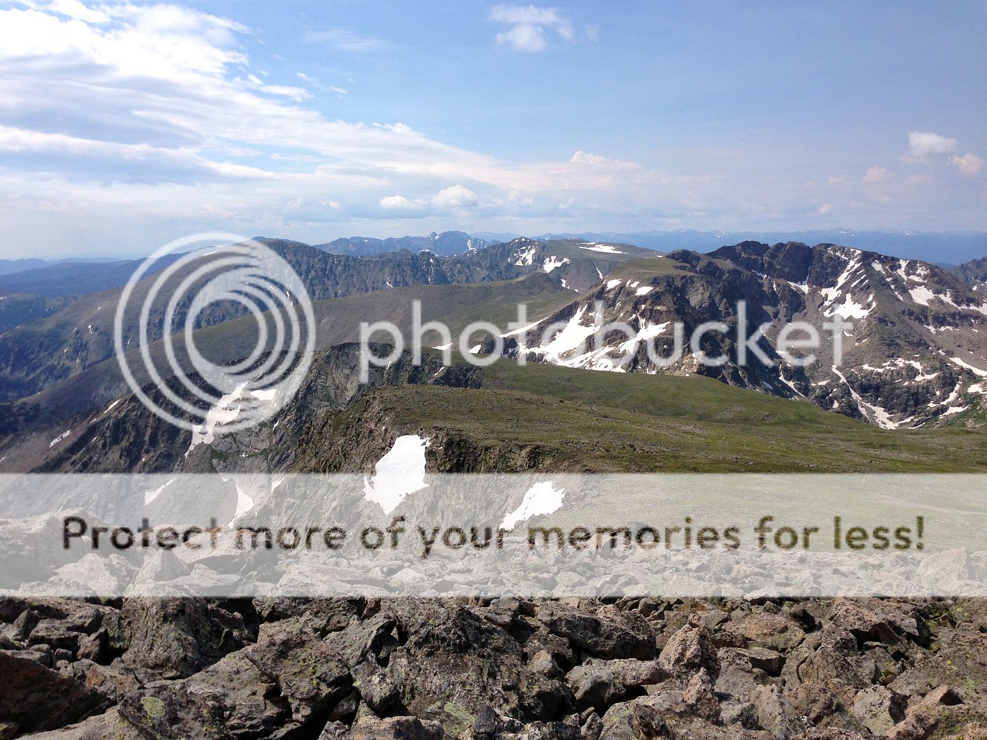
Anyways, I was able to jog again for the first time in a while, which was a real treat on a ridge like this. From this lofty place, pretty much the entire park was stretched out before me. As my new friend dropped back into the valley, I waived goodbye and smiled silently to myself. Sun, altitude, rolling green tundra, an epic ridge, solitude….this was livin.

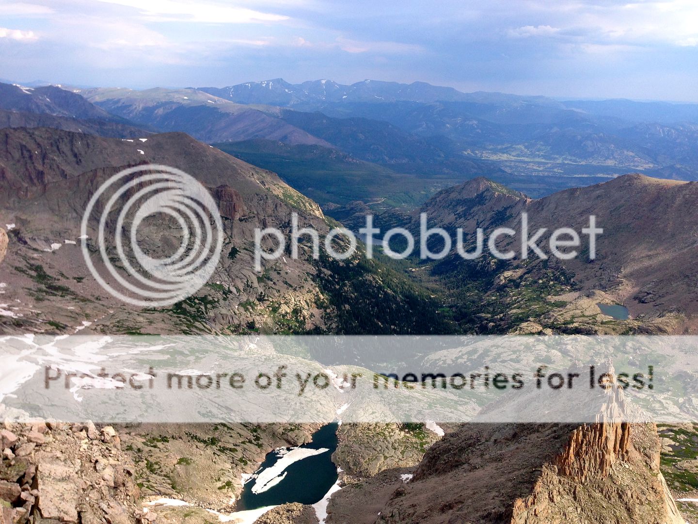
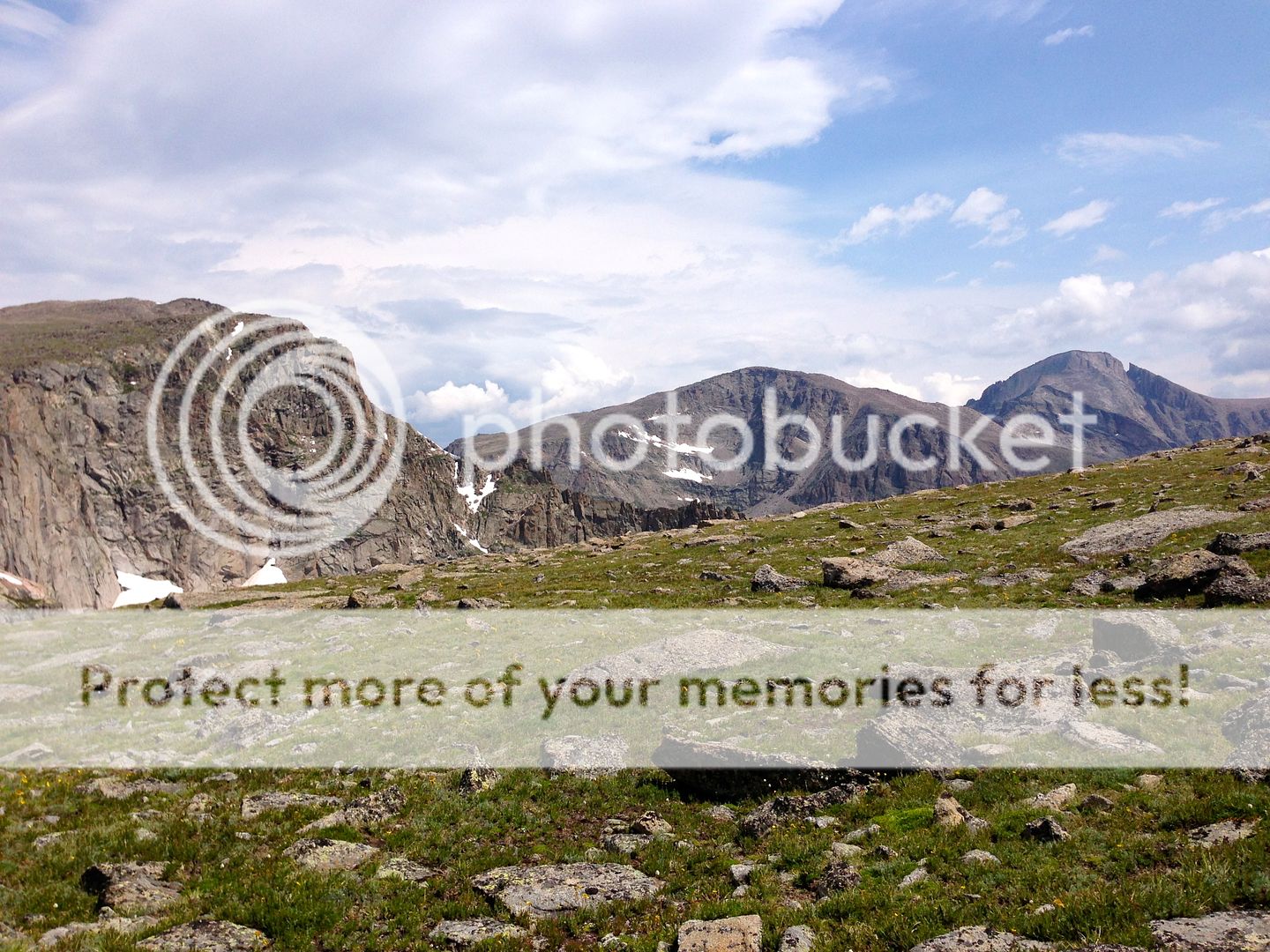
Taylor, Powell, and McHenrys. That traverse is definitely on the 2014 summer bucket-list. Dillon, you down?
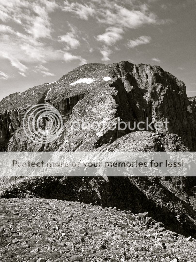
The next obstacle was to ascend the 800 foot Hourglass Couloir up Alice to reach her summit. As I traversed closer and closer, I was only slightly apprehensive about the scramble to come. While it certainly cliffs out on either side, the couloir is quite wide with almost no mandatory exposure. I simply stayed climber’s left and found I was able to walk on grassy benches for almost the entire time. More complex scrambling could certainly be found if you choose, but I saw no reason to push it by myself. The angle gradually relents 2/3 of the way up the face as the Hourglass runs out, leaving 200 feet of remaining talus hopping on relatively solid rock. I reached my second summit a bit over an hour after departing Chiefs Head.
I really could not have asked for a better day. The clouds finally broke while climbing up Alice and I knew I had a long weather window to play with. With that in mind, I decided to hang out, relax, and just soak in the views from the top. The park really is something special.
I also contimplated my next move. I did not really want to back-track the 9-10 miles from Alice’s summit all the way home. Instead, the slopes off her west face were just as advertised: gentle, green, and beautiful. It was a no-brainer to jog down these towards Boulder-Grand Pass.
Speaking of, I also had to decide if I wanted to tack on the somewhat obscure 12er, Tanima Peak, which is just beyond the pass. I am not really much of peak bagger (in fact, I kinda hate that term), so I was not really all that interested in just tagging the summit solely for the sake of the summit. However, the scree off of Boulder-Grand looked pretty miserable. Plus I was feeling great and and the slopes up Tanima were just too inviting to miss. So, I girded my loins one last time and hit the final feet of gain for the day, reaching my third and final summit some 40 minutes after departing Alice.
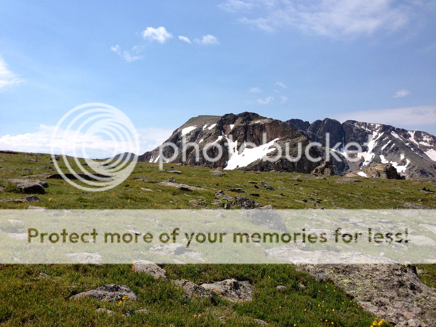
I did not regret the extra trip up Tanima. The summit is gorgeous and offers stunning views of all of Wild Basin. Perhaps more so than any other peak, Tanima is situated most ‘in the middle’ of Wild Basin. This alone probably makes it worth the visit.
My final decision of the day was whether to back track to Boulder-Grand for my descent, or roll over Tanima’s east ridge and the descend down to Thunder Lake. Remembering a great old TR by Steve Knapp (thanks Steve!) I knew it was possible. The final 800ish feet of scree once off the ridge, looked terrible, but I sort of just put on a ‘screw-it’ mentality and decided to go for it.
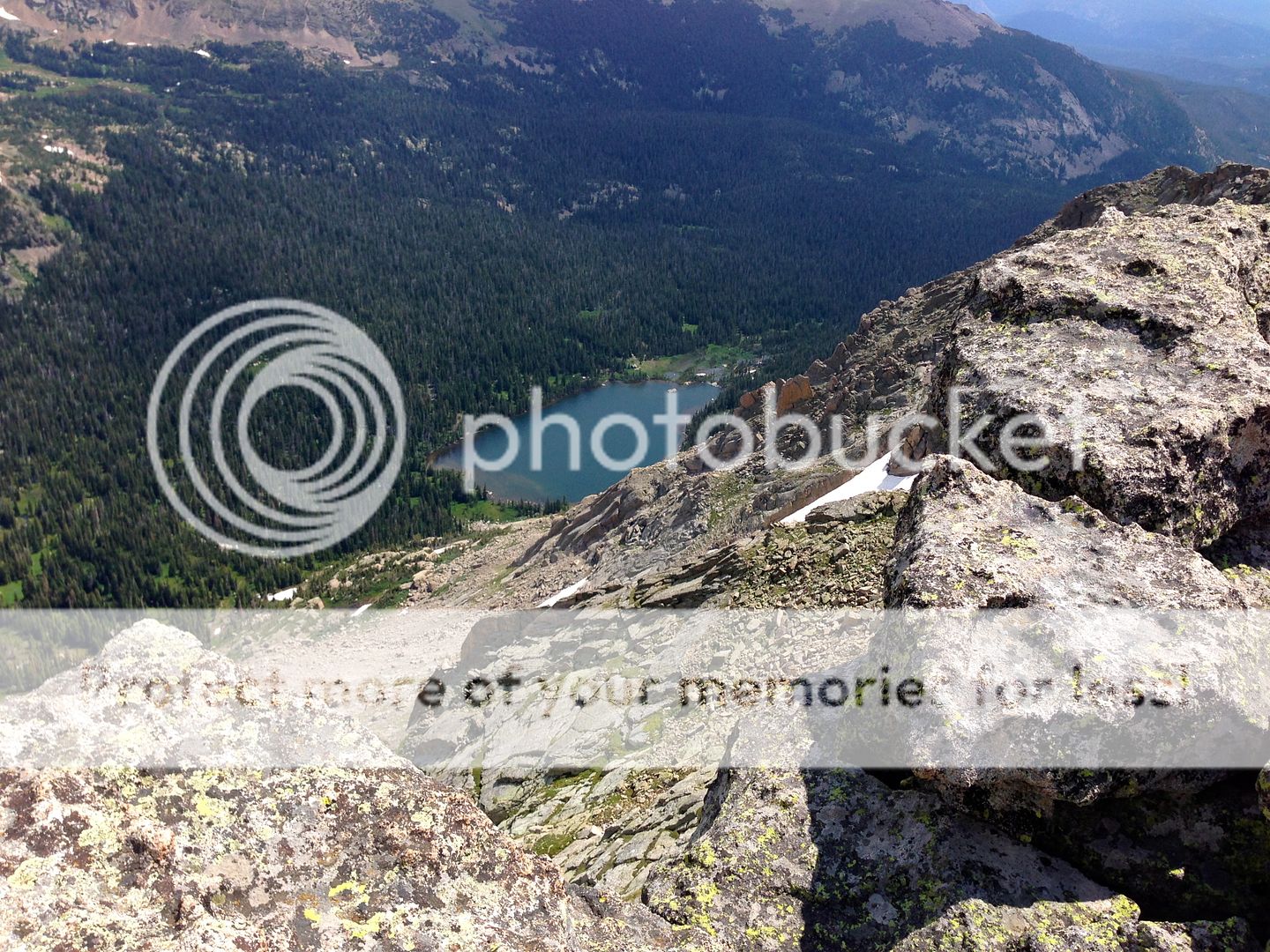
Views down to Thunder Lake from Tanima. Cliff bands force you to take the east ridge scramble for a ways before you can safely descend to the lake.

Sample of the rock on Tanima’s East Ridge. It was mostly easy class 3 with plenty of class 2 mixed in between. I was able to drop slightly below the ridge to the south to mitigate most of the trickier obstacles, as well as move a bit quicker.
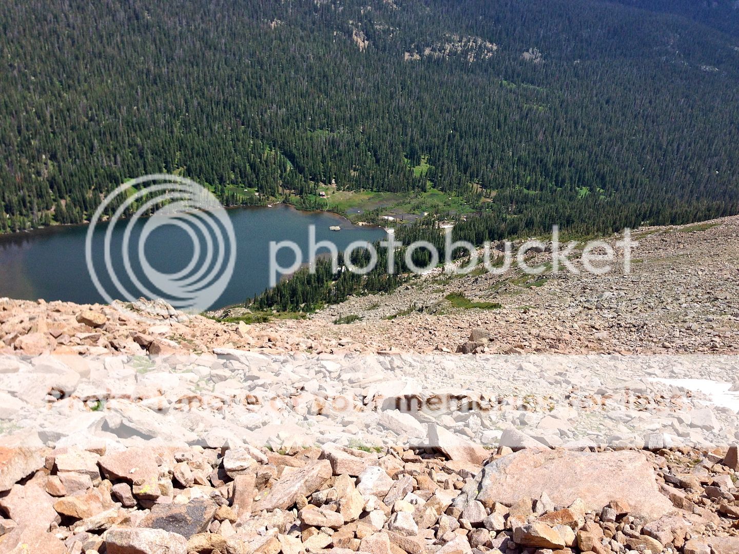
Beyond the cliff bands turning north, the final 800-1,000 feet of suck before reaching Thunder Lake. It was every bit as miserable as it looks. Slow going on this steep, loose scree pile.

But the views of the lake certainly make it worth it. A perfect spot to refill the Camelback one last time and enjoy the water.
It is approximately 6 miles from Thunder Lake to the TH. I was a bit dehydrated at this point as my iodine worked on the recently re-filled camelback. Forced to just be thirsty for a while, I saddled up one last time for the final push out. All in all it was not so bad. It was nice to be on trials again and I always take comfort in knowing that there is no more uphill on the day. As expected, the crowds grew and grew as I neared the parking lots, which I reached a little over an hour after leaving the lake.
As storm clouds finally began to roll in back at the car, I was very tired, but felt very accomplished. I love it when a plan works out in the hills and this one had done so almost perfectly. I said a silent prayer of thanks for the excellent day and then proceeded to down two full gatorades & a solid pound of Starburst jelly beans. Another incredible day in the park and an absolute blessing!
Thanks for reading if you did – happy climbing!
Time Splits (for anyone interested)*
- Wild Basin TH to Ouzel Falls Junction: 44:00 (44:30)
- Ouzel Falls Junction to Lion Lakes #1: 1:03 (1:48)
- Lion Lakes #1 to Saddle: 1:10 (2:58)
- Saddle to Chief’s Head: 35:00 (3:34)
- Chief’s Head to Alice: 1:13 (4:47)
- Alice to Tanima: 41:00 (5:28)
- Tanima to Thunder Lake: 1:05 (6:34)
- Thunder Lake to Ouzel Falls Junction: 39:00 (7:14)
- Ouzel Falls Junction to Wild Basin TH: 33:00 (7:47)
*Plus about an hour for stops along the way (ie: Three summits & two water refills)










Yeah! Get it, Zambo! Nice work, man. Heck of a day. That’s a solid trail run outing by yourself. Its great getting all of these RMNP TRs by you, Dillon, etc as I don’t head that way all that much (really never at all). I should, though. Its gorgeous.
Hey thanks Brandon. We gotta get you out there some day soon man. I vote you have to drive down to Denver one Sunday afternoon to do it, just to feel our commute pain. 🙂
Looking forward to hanging with you in a few weeks up in the Gores, my man.
Nice report Zambarino! I need to get back to my roots and head back in there soon! Thanks for reminding me. Wild Basin makes for a perfect solo outing. I love that shot of Alice. All those shots are sweet man. Oh and you’re a beast!
Hey thanks D.
Dude I’m tellin’ ya, that Glacier Gorge Traverse would be somethin else…
Excellent read and nice day effort. Mike and I tried this with McHenrys a couple of Octobers ago. We got stormed off of Alice unfortunately and came down the way you went up. The miles for Cheifs Head can be shortened a little by going straight for the “North Ridge” coming off of the south of the mountain from Lion Lakes.
Looks like a heck of a day spent with your inner introvert. Thanks for the report and heads up about coming off of Tanima. That picture brought back nightmares of Peak ‘O’ in the Gores.
Thanks Floyd! Ya, there did seem to be a few different option up CH as I was looking at it. Some appeared to be more miserable than others. And yes, that slope off of Tanima was just, ugh. Probably worse than any option I saw off of CH.
That’s a large day and a sweet couple of peaks you hit, great job man! I agree, Wild Basin is almost perfectly suited for trail runs. I can’t wait to get in there again myself for Isolation (finally). Thanks for the great write up and photos!
Thanks man! Just be sure to do Isolation before the Summer TH closes. Otherwise you’d be a complete group of idiots for adding an extra 2 miles to an already massive day. Who would ever do such a thing…..???
David – Nice tour. Its good to see you highlighting and realizing the incredible-ness of that area. McHenry’s/Powell/Taylor/Otis/Flattop makes for a classic RMNP outing, with a rap to boot and can be done as loop from same exact TH (Glacier Gorge). That saddle between CH and Alice is one of the most scenic places in the state with the prominent “Notch” of Mchenry’s, “The Stone Man”, alice’s Hourglass Ridge and a bunch of resident bighorns. Gatorade slugging contests at the car are always a nice way to end the day as well.
Re: “Last Man Standing”. We should hold an awkward, white guy 1-1 basketball outing and see who the last man standing is.
Ya man, that saddle really is something special. The whole view of Longs is sweet a well – the Palisades are incredible from there.
And yes, I am more than in for the BB outing. We should each drink 3 or 6 beers beforehand tho, and then let everyone else watch us horribly bounce the ball and chuck endless baskets that all inevitably miss the mark badly. Could be a good next BBQ activity….
Excellent report, David!! I’m seriously thinking of attempting this loop this summer if conditions turn ripe, so thanks for the beta. Gorgeous pictures!!