Dillon and I loaded into his Jeep and made our way south after work on Thursday evening, intent on hiking Gladstone Peak on Friday followed by Rio Grande Pyramid on Saturday (both Centennial 13ers). Anyone who knows the San Juans decently well will probably quickly realize that these two peaks aren’t exactly close to each other; not in a straight line but especially not with regard to drive time between trailheads. Well we knew that, but we suspected we might be able to link up a few mountain passes in Dillon’s Rubicon to make the commute between peaks a tad more interesting.
Sitting smack in the middle of three highly popular and somewhat notorious 14ers, Gladstone Peak has to be one of the more overlooked 13ers in the entire state. With the Mt. Wilson/El Diente massif dominating the skyline on the south side of Navajo Basin, and Wilson Peak towering over the ranch lands outside of Telluride, Gladstone does a good job of hiding from most people’s gaze. Yet this peak is far from boring, as it features nearly every characteristic of a classic San Juan rock pinnacle. Steep and pyramidal in shape, Gladstone appears to be un-climbable when viewed from the south. It’s broad East Face would make for an excellent extreme ski descent from Cross Mountain, and it’s North Ridge, the easiest way to climb the peak, isn’t a route to take lightly.
I’ve had my eyes on Gladstone for a long time, and after always finding an excuse not to climb it on my several previous visits to the Wilsons (usually because I chose to repeat 14ers with friends instead), I figured it was finally time to make this peak a priority. Bilk Basin seemed like a good approach option as it is relatively untraveled compared to Rock of Ages and Navajo, and the hike to the peak’s North Ridge is arguably more scenic from the east than it is from the west.
Around midnight we turned off CO 145 and drove south along the San Miguel River towards the Bilk Basin trailhead. The graded switchbacks went quickly and easily and soon thereafter we were laying our heads down for a little shuteye prior to a 3:30am start.

Sunrise over Lizard Head Peak in upper-Bilk Basin. It was nice to get back into this area after a couple year hiatus.
From the Sunshine Mesa Trailhead we worked our way southwest along the old mining access road before crossing to the west side of Bilk Creek, then ascended a steep set of switchbacks up past the falls and into the basin proper. With good views of Lizard Head and Sunshine Mountain to our east, we worked our way higher into the cirque between Wilson Peak and Gladstone. This entailed some snow hopping and minor rock scrambling on the south side of the drainage.
With nothing between us and the Wilson/Gladstone connecting ridge, we threw on our crampons and engaged the short snow climb leading up to the ridge crest. All in all the snow we encountered was a non-factor and I’m guessing it will be gone in a week or two.
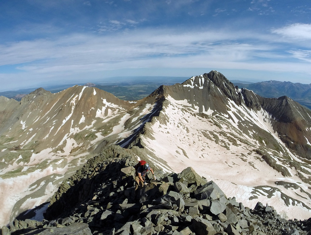
A short snow climb led us to the ridge, where we were able to make quick time of the dry class 3 terrain to Gladstone’s summit.
Gladstone’s North Ridge, while certainly loose, didn’t seem as unstable as several other peaks Dillon and I have been on in the past and certainly not as dramatic as some guidebooks indicate. Everything stayed in place for us and after an hour and a half of fun scrambling, we stepped onto the summit of Gladstone Peak. Our friend Jim (Yikes on 14ers.com) was out for a solo day and wound up sharing the summit with us.
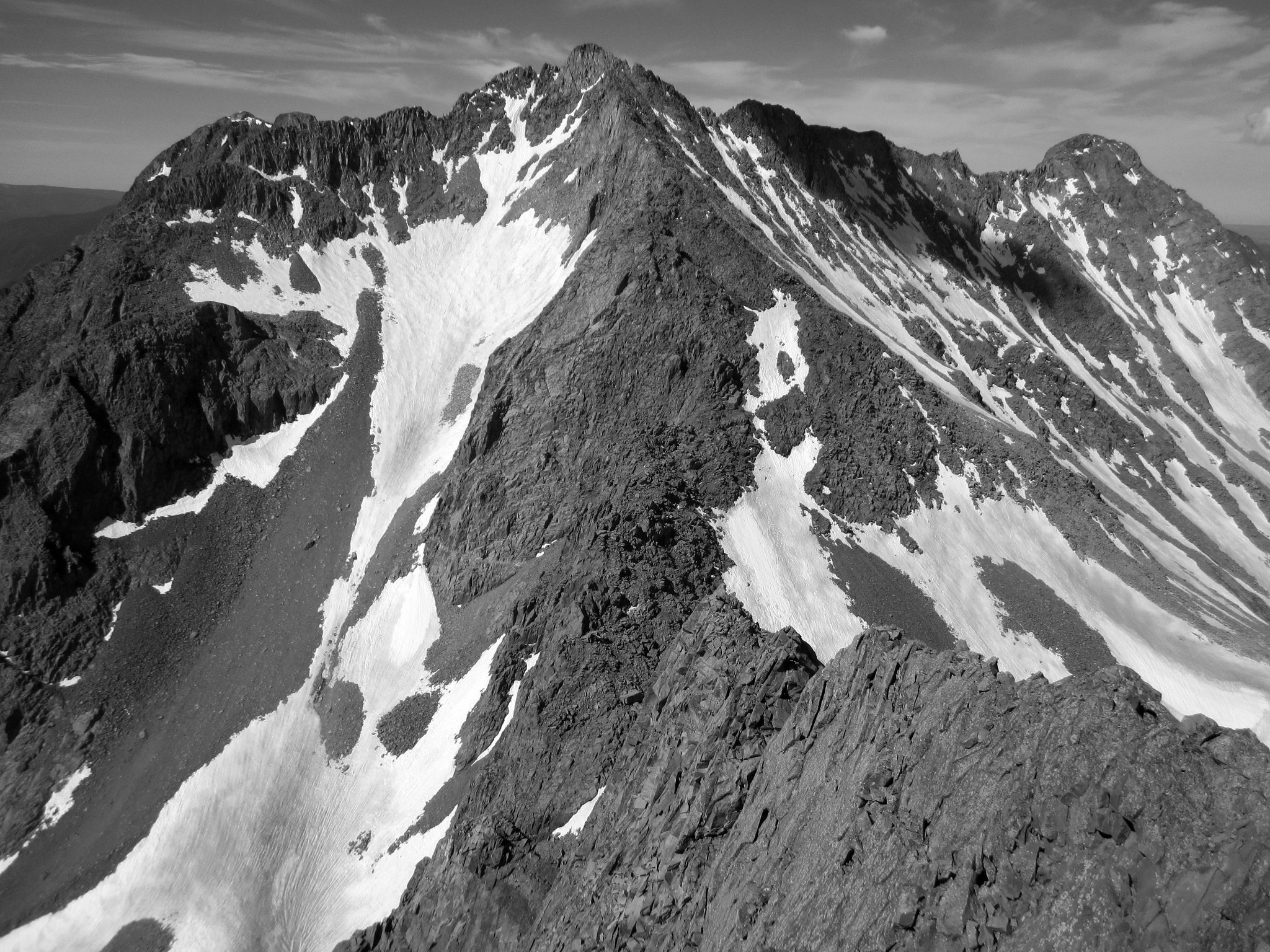
Mt. Wilson’s Slate Creek Cirque and El Diente’s North Face from Gladstone’s summit.
After looking around for awhile and taking a few photos we made quick work of the ridge back down to the snow, and then back down to the trail from there. Descending Bilk Basin went smoothly with the exception of the creek crossing, and around 2pm we found ourselves enjoying a beer and sandals back at the trailhead (well actually a little lower down the road as the mosquitoes were quite unbearable at the trailhead).
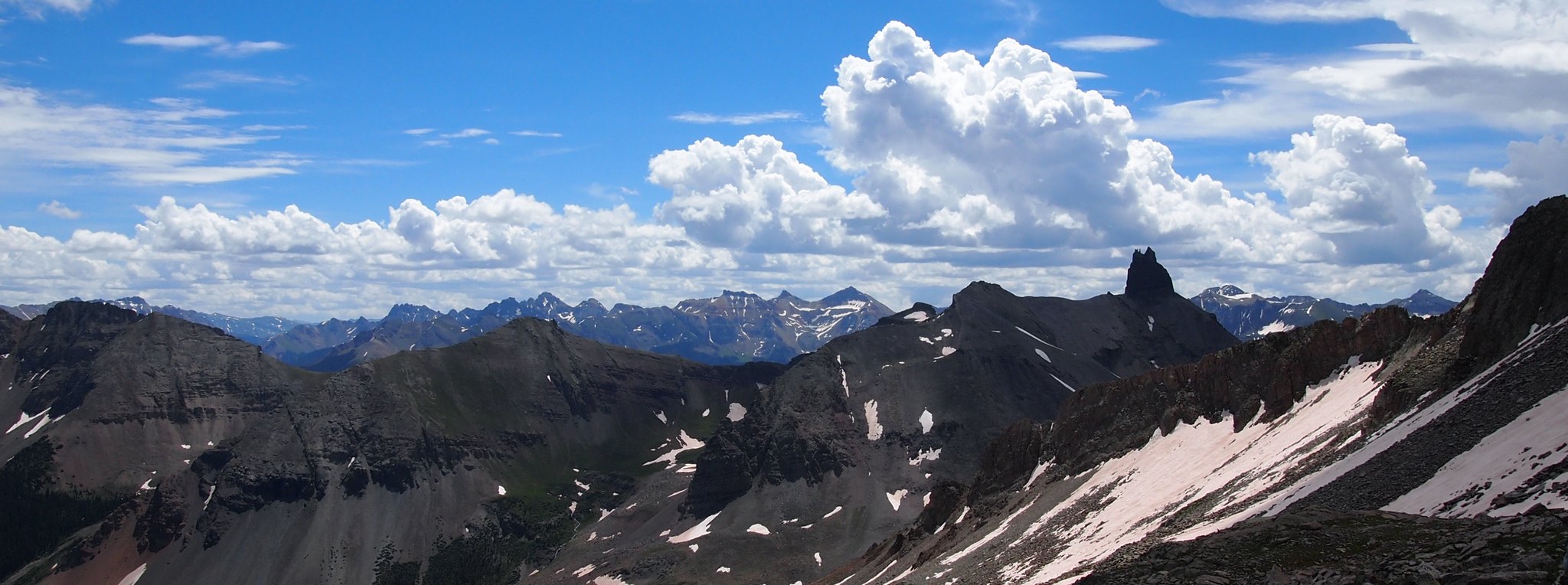
Another shot from lower down, looking east towards Lizard Head and the Ice Lakes group behind it. Photo by Dillon.
The only blemish in our 56 hour marathon of sleepless pain was an ill-fated attempt to sit down for a meal in Telluride. Fresh off Gladstone we drove into town intent on ordering a pie from the Brown Dog, only to find the wait was 2+ hours and the restaurant itself couldn’t have even been described as “standing room only”. There was quite simply no room at all.
With our plan A dashed, we continued to fight our way through and around an immense number of people in the streets, finding that every restaurant in town was either closed or packed to the brim (note that I refrained from using the “G” word). After stopping at a street vendor for a $9 gyro, only to find out she didn’t take credit cards, we decided to cut our losses and make our way towards Ophir Pass empty handed (or more accurately, empty stomached).
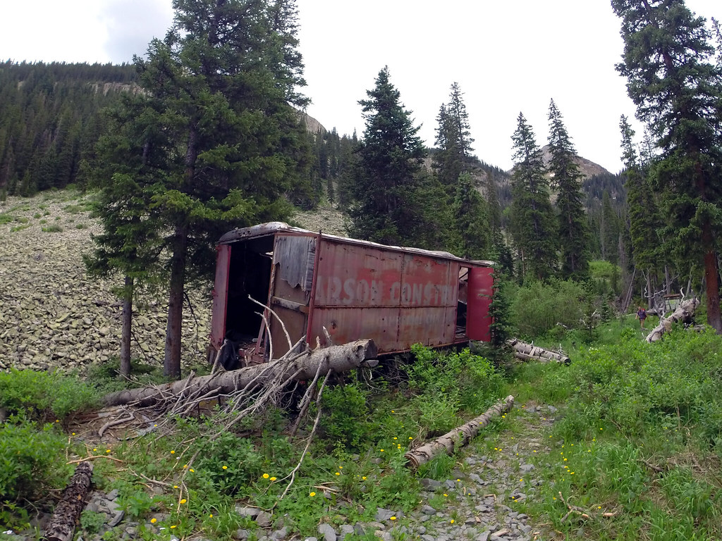
Bilk Creek mining ruins add some flavor to this basin. Like it needs any more.
One of the most unique aspects of this trip if I’m being honest was the fact that we decided to drive over Ophir and Cinnamon Passes en route to Rio Grande Reservoir. I had long wanted to check out both of these passes, but because I’ve never owned a 4WD vehicle, I’ve never really had the opportunity. Well thanks to Dillon, that all changed on Friday as we got a hefty dose of classic San Juan four-wheeling under our belts, and cut off a good amount of driving distance at the same time.
We drove over Ophir Pass in a rainstorm but by the time we made our way through Silverton (after a quick pit stop at Avalanche Brewing of course) and up towards Cinnamon Pass, we had nothing but blue sky and endless San Juan topography to enjoy.
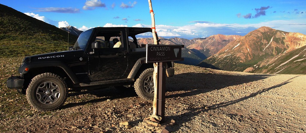
Cinnamon Pass summit – the second mountain pass we traversed en route to Lake City. Photo by Dillon.
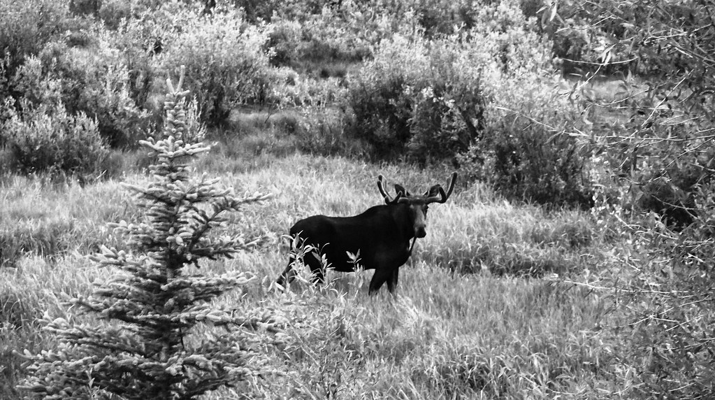
Moose sightings in American Basin. Photo by Dillon.
After taking some time to reminisce of past journeys through American, Grizzly, and Silver Creek Basins, we eventually arrived at our destination for the evening – Thirty Mile Campground on the southern edge of Rio Grande Reservoir. I’ll be the first to admit we were pretty tired at this stage, and the weather forecast wasn’t looking excellent for the following day, but we knew if we could get some food and fluids in us as well as a few hours of sleep, we’d be good to go in the morning. That’s exactly what we did, and in what seemed more like the next phase of a continuous mountain marathon than a new day, we found ourselves trudging up the Weminuche Trail along the southern edge of the reservoir at 3:30am.
We hiked through the dark for what seemed like endless hours until morning’s light eventually stretched out across the landscape and we were able to switch off our headlamps. Soon after we stumbled onto Weminuche Pass, and upon pulling out our map, we were greeted by another set of familiar names/faces. Darin Baker (d_baker on 14ers.com) and Terri Horvath had camped just shy of the pass and were getting started on an attempt at “Window Peak” and UN 13,017 to the south of RGP. They graciously pointed us in the direction of the Skyline Trail, which was good because we were about ready to head up the Rincon La Vaca trail instead (this trail would have worked out but the Skyline takes a shorter, more direct approach to RGP).
After losing the trail a few times on the south side of the Continental Divide (which isn’t that uncommon from what I’ve heard), we eventually worked our way up through the basin to the foot of Rio Grande Pyramid.
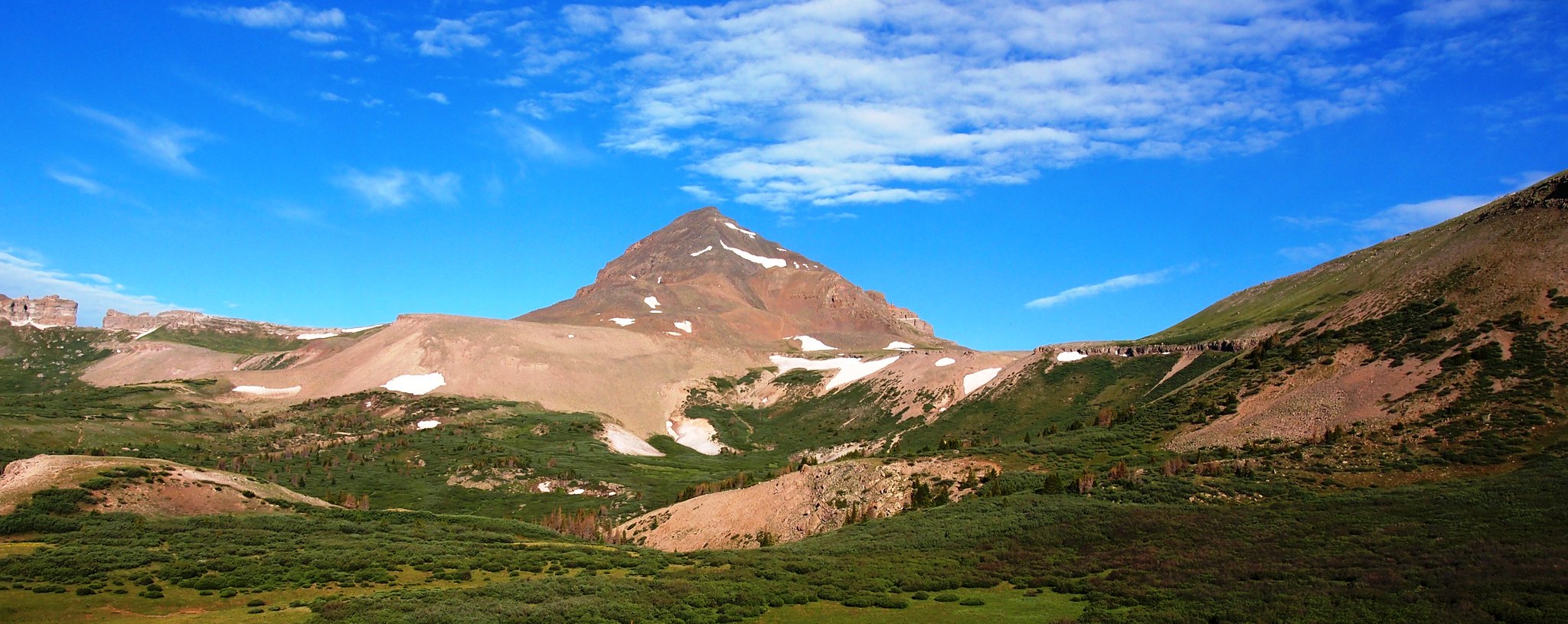
First climbed around 1875 by the Wheeler Survey, Rio Grande Pyramid sits on a high plateau well east of the bulk of the Needles, Grenadiers, and other central-San Juan peaks. Its relative isolation combined with its distinct pyramidal shape gives it a prominent profile that can be seen from other high summits throughout most of the San Juans. The area surrounding the Pyramid is relatively flat and sprawling, which makes for a unique approach up a long, lush valley before reaching the alpine. I was thrilled to finally be doing this peak, as it’s another I’ve been looking forward to for years.
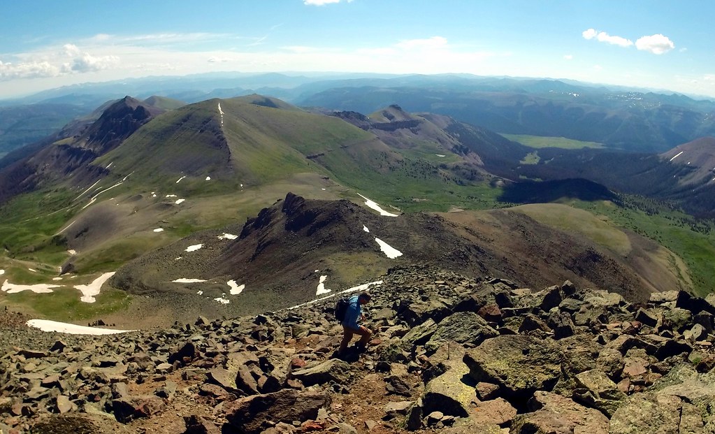
Dillon hiking through talus and medium-sized blocks near the top of Rio Grande Pyramid.
From the base of the peak we followed the well-worn climber’s trail straight up the gut of the East Face, continued over a flat area, and then up the final 700 feet to the summit. From there we had a field day pointing out most of the major peaks of the Weminuche, as well as the Handies Group to the north and La Garitas to the northeast while we ate the remaining food in our packs.
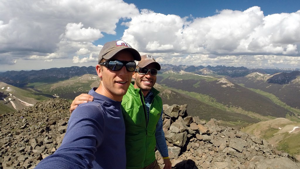
Our summit mugs, tired but happy to be here.

Views into the northern Weminuche – Hunchback Pass, the Grenadiers, and No Name/Ruby Basin peaks can be seen from right to left. Photo by Dillon.
We spent the better part of an hour enjoying the summit before a set of thunderheads started building in the distance. We decided to get out of there, making quick work of the descent back to the peak’s base. Rather than risk losing the Skyline Trail again on the way out we decided to take the Rincon La Vaca instead, which did add around a mile or maybe slightly more to our day.

We made our way back down the Weminuche Creek Valley as afternoon storms started to roll in. Follow this drainage far enough south and it eventually ends at the Vallecito Reservoir northeast of Durango.
Tired and ready for a nap, we plodded into Thirty Mile Camground and capped off our 32 mile, 8,200 foot effort for the weekend. Camp chairs went down, followed promptly by a bomber of Decadent from Ska, followed by burgers on Dillon’s new grill.
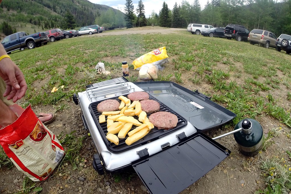
Are those french fries?
All in all this was definitely a hasty journey compared to what it could have been, but at the same time there was a satisfaction in pulling it off and in the time Dillon and I got to spend together on the road and on the trail. Another realization I had is that setting up camp high in the Rincon La Vaca and picking off the other 13ers in the area would make for a great 3 day weekend from Denver. I’ll definitely be back (and I think Dillon will too).

And lastly, a map of our 4WD traverse through the San Juans. If anyone ever needs to drive from Telluride to Rio Grande Reservoir, this is one option (okay, I used the “G” word).
Dillon, thanks for a great couple days down there. Cheers, and thanks for reading!


The broville grill is back in action. We just need some DC, Grenade and Never Summer stickers and a .22 caliber rifle. I like how this one has a separate burner on the side, very industrious for a broville grill.
All those areas look sick. Would an Outback fare well on any of those San Juan passes?
Agreed. Problem is it’s a lot harder to take a shotgun to a grill that costs over a hundred bucks. Dillon would have to do the shooting as I refuse to be liable. As for the passes, I’d say Ophir is doable in your Outback but probably a no go on Cinnamon. There was one spot on the American Basin side that made us think a little in the Rubicon.
Phenomenal trip, fellers! Love the baggin’ of centennials interspersed with some rockin’ & rollin’ 4wd action across the San Juans! Heck of a weekend…well done. Dillon’s grill looks like a winner there. Hate I missed ya as Mrs Chalk, the pups, and I were in Telluride for the weekend. But, I don’t blame you leaving Telluride so quickly – sure was a madhouse down there. But, did get out away from the crowds and nab Dallas on Saturday, which was a lot of fun. Cheers!
Thanks Brandon! So it sounds like you ran into Jim as well, as he was heading to do Dallas too if I remember correctly? I didn’t mean to dog on Tride too much, Lord knows I’ve spend a few 4ths down there. Besides it would have been smart of us to make a reservation at Brown Dog from the summit of Gladstone. That’s on us! 🙂 Glad you guys had fun down there! Hopefully you didn’t hit Dallas from Blue Lakes, that’s all I’m gonna say about that.
Hey, I think we have that same grill! Pretty solid piece of equipment for car camping I must say. This looks like a really fun trip you guys. That’s cool that you ran into Terri and Darin. Sounds like T-ride was just as much of a cluster as Silverton. Gotta love holiday weekends. Ben, you seem to be making quite a dent in the Centennials… must be getting close.
PS: Did those fries really work on the grill??
Thanks for the comment Sarah! I’m hoping to get out with you guys at some point this summer or fall. We should do a Cottonwood-esque Sangre ridge run in October if I don’t see you sooner. Tride was worse than Silverton. In Silverton we were at least able to eat. As for Cents, I believe that makes 94 with nothing but San Juans remaining. Definitely trying to finish em up this year but we’ll see. Look for an email :).
Awesome stuff. Psyched about this blog you guys got going on, I will stay tuned!
Great thanks for stopping by Rich! Feel free to crash Dillon’s house parties anytime.
Haha! Eliot street can get pretty wild! Thanks for coming by the site Rich!
Excellent trip you guys. I think “Nerd Rage” would have been in full effect if I was with you in T-ride. Those are some great peaks and hopefully their neighbors offer excursions equally as fun in the near future. The real question is, can you guys drop the elevation requirements and join us this weekend?
Thanks Scot! Dillon got mad before I did, which is a major curve ball from the way it normally works. This weekend I’m camping in the Front Range and hiking up to a waterfall below tree line, so you guys will officially be higher than me :). Wish I could join, maybe for Slate. Have fun and don’t pop any of the bubbles. I hear Lord Gore frowns upon that.
Goater! Thanks for a great trip buddy. It’s too bad the silverback gorillas at our fries! Between all the shenanigans, the peaks, the weather, the COLD beers, the timing and how it all came together, I don’t think I’d change any of it (even if we did only get 4.75 hours of sleep and went 32 miles on gummi bears)! This is one I’ll look back on for a long time with a smile. Top notch report Billy! Until next time my friend…
Thanks buddy! Looking back on it I wouldn’t change anything either man. It’s trips like these that we’ll remember, even if we’re delirious throughout the entire trip. Thanks again for everything, Dillards.
Fun looking trips brosephs. That does not look like a bad way to spend the weekend of the 4th!!
Ben – has any of the off roading begun to tempt you into buying a 4-wheeling vehicle yet?