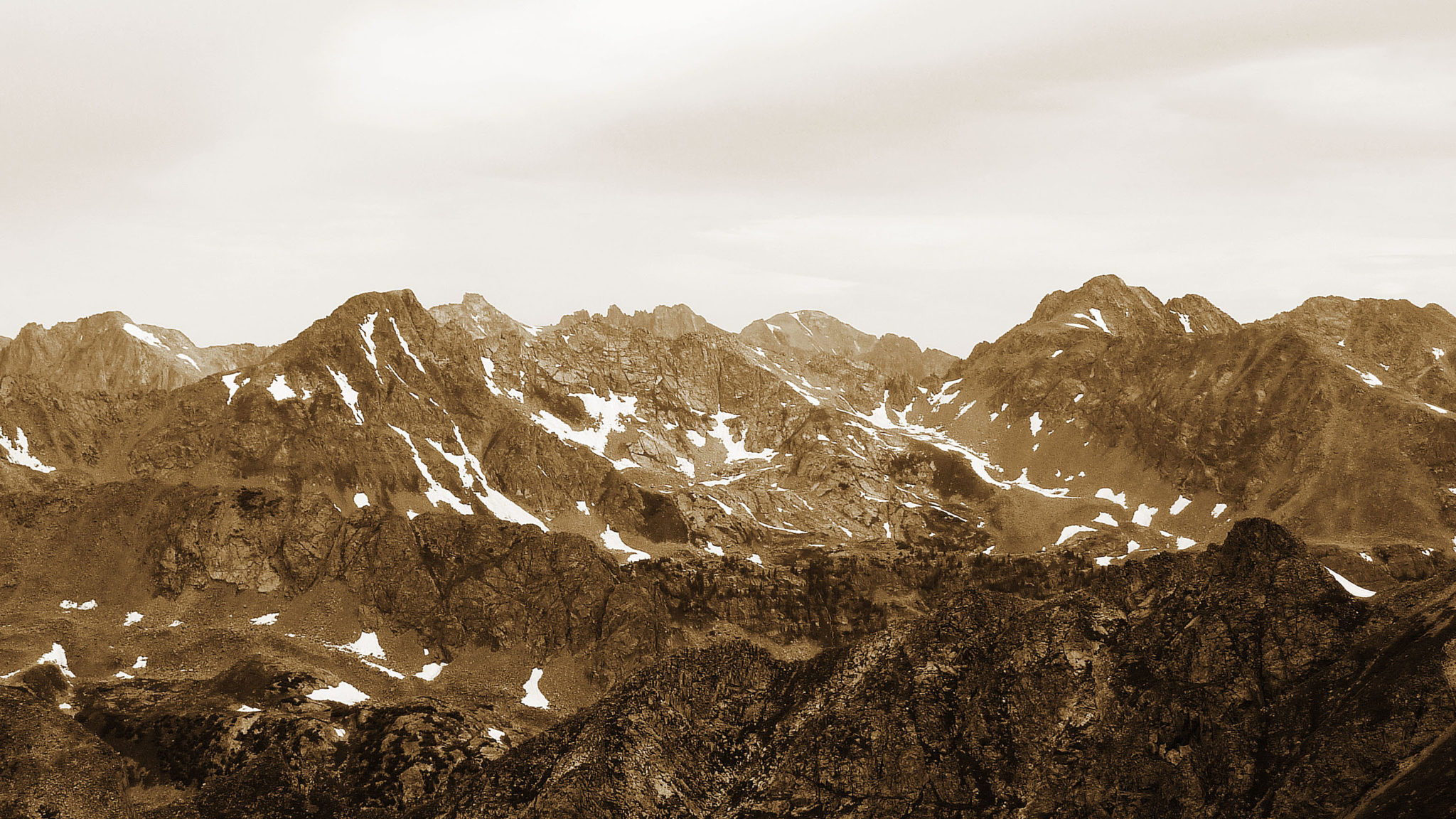
“Peak X” and “Peak Z” (left and right) seen from the summit of “North Traverse Peak”. Photo taken August, 2011.
Peaks
“Peak X” (Ranked, 13,085′)
“Peak Z” (Ranked, 13,245′)
“Z Prime” (Unranked, 12,980′)
“Vista Point” (Unranked, 13,075′)
“Mt. Solitude” (Ranked, 13,090′)
“Climber’s Point” (Unranked, 13,005′)
Stats
15.5 miles
7,450′ gained
10 hours
Though they may not be particularly grand in stature, the Gores are a special set of peaks. The more I venture into the range, the more I look forward to heading back. With the entire day free and a good weather forecast this past Saturday, I decided to try my hand at Peaks X and Z which reside at the head of Boulder Lakes basin.
There are two good ways to get to X and Z: via the Boulder Creek drainage (which typically requires a multi-day backpack) or else via a long day up the Pitkin Creek drainage and over Usable Pass. The few trip reports I had read highlight the Pitkin approach, and looking at a map it seemed like a reasonable way to attack this duo. It also looked like including Vista, Solitude, and Climber’s Point from Usable Pass was a possibility. I wasn’t able to find much info on the traverse from Usable to Vista, but every true adventure starts with a question mark right?
I pulled into the trailhead at 5:45 and made the mistake of tilting the seat back for a “short” nap. It took every ounce of my mental strength to peel myself out of the seat and lace up my shoes almost an hour later. I didn’t get going until 7:00, much later than I was hoping for. In an effort to make up for lost time, I double timed it up the trail through patches of pine forest and open meadows to the prominent grassy flat area due west of “Vista Point” around 10,900′ (due north of this grassy area is a large ridge feature that drops south off of East Partner Peak. It is easily visible on a map. Heading to the left of it leads to Pitkin Lake, going right leads to Usable Pass). Not knowing the exact route from this grassy meadow to Usable Pass but having a general sense of things, I left the trail and bushwhacked northeast up through a large expanse of dense foliage. I broke out a tad high on the south side of the tributary drainage leading up towards the pass, but I was able to contour over and save most of the elevation. Just after 9:00 I crested Usable and got my first dose of sunshine.
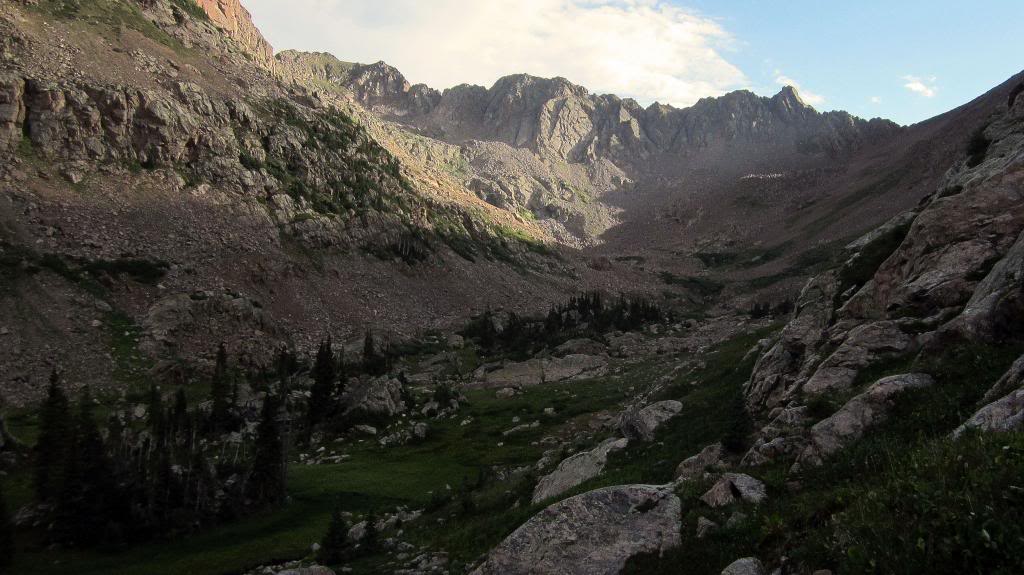
Looking up the mini-drainage that leads to Usable Pass. The pass is looker’s right of the prominent rock spire.
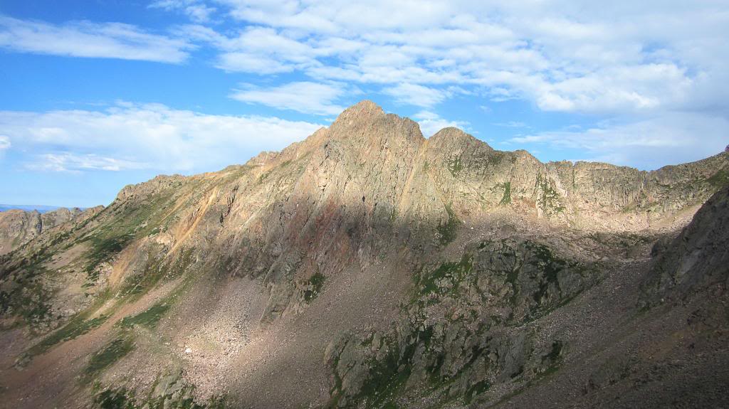
Morning light on East Partner’s dramatic east face, taken from Usable Pass.
I took a 15 minute break and surveyed the ridge to “Peak X”. I had good beta from Brian and others that the ridge direct to X can be kept at class 3, and that wound up being the case for me. Though the ridge looked intimidating from the pass, a viable route quickly fell into place for me as soon as I started scrambling. Starting off on the ridge’s north side, then hopping across to its south side after a few hundred vertical worked out nicely. Just below the summit I dropped southeast off the ridge crest once or twice when I came to a section I was apprehensive about trying solo, but besides that I found staying on the ridge proper to be solid and fun. A short class 4 chimney climb led me to the true summit of X.
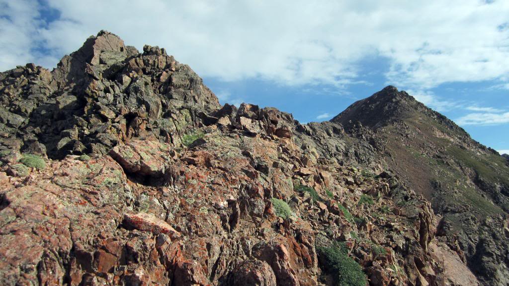
“Peak X” from just above Usable Pass.
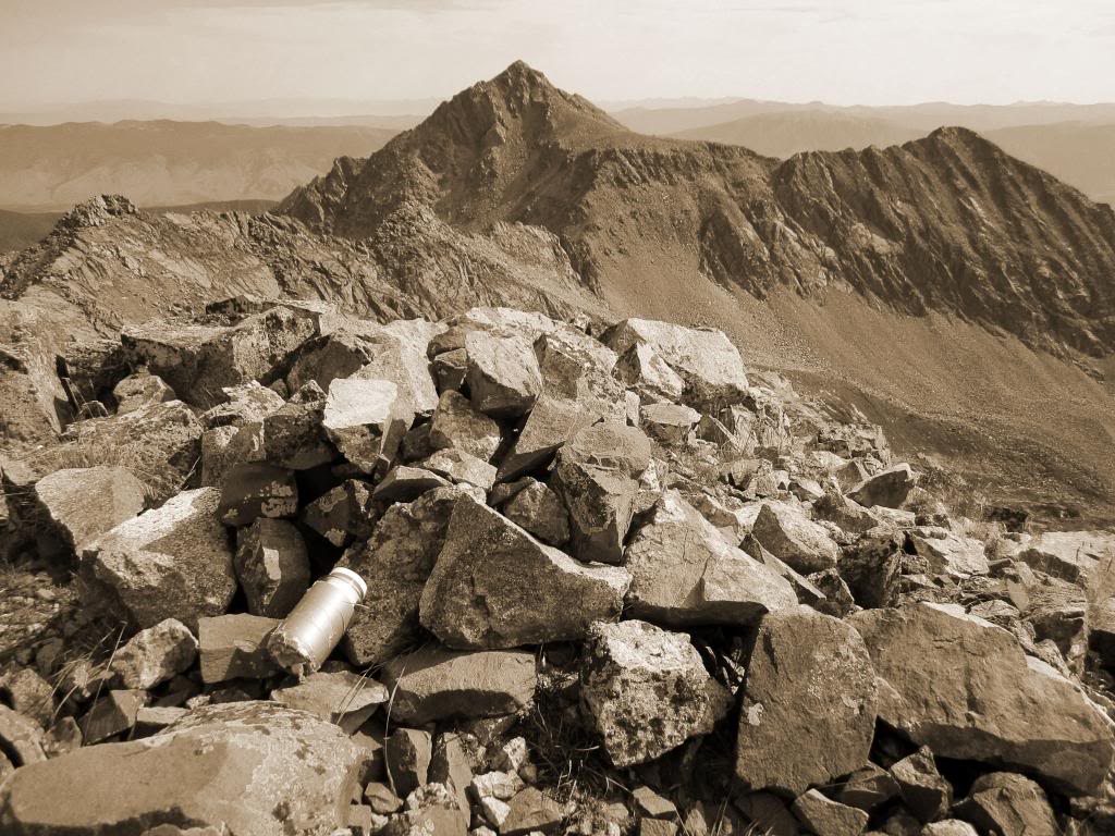
On the summit of X, looking across the way to “Peak Z” and “Z Prime”.
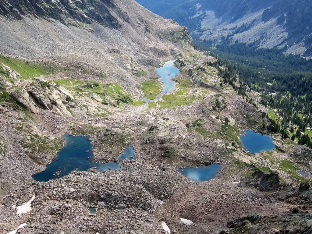
Sun glistening off the water in the upper-Boulder Lakes drainage. This would be an awesome place to set up camp someday.
Another short break on the summit and I contemplated my next move. I had read that parties in search of a mellower route to Z have the option of dropping off the traverse into the Boulder Lakes area and contouring underneath. Being alone and so far in there I didn’t feel like pushing things, so I looked for a viable option to drop down. Descending west off the summit of X, I rounded the corner and came upon a fairly short, albeit loose class 4 chimney that looked to fit the bill. Though the moves at the top were a tad interesting, I was able to complete the down climb and found myself on flat ground soon thereafter. Looking back on it I’m not sure this decision actually made my day more mellow, but from what I’ve heard the XYZ traverse gets tricky in spots. Maybe it was worth it, maybe not.
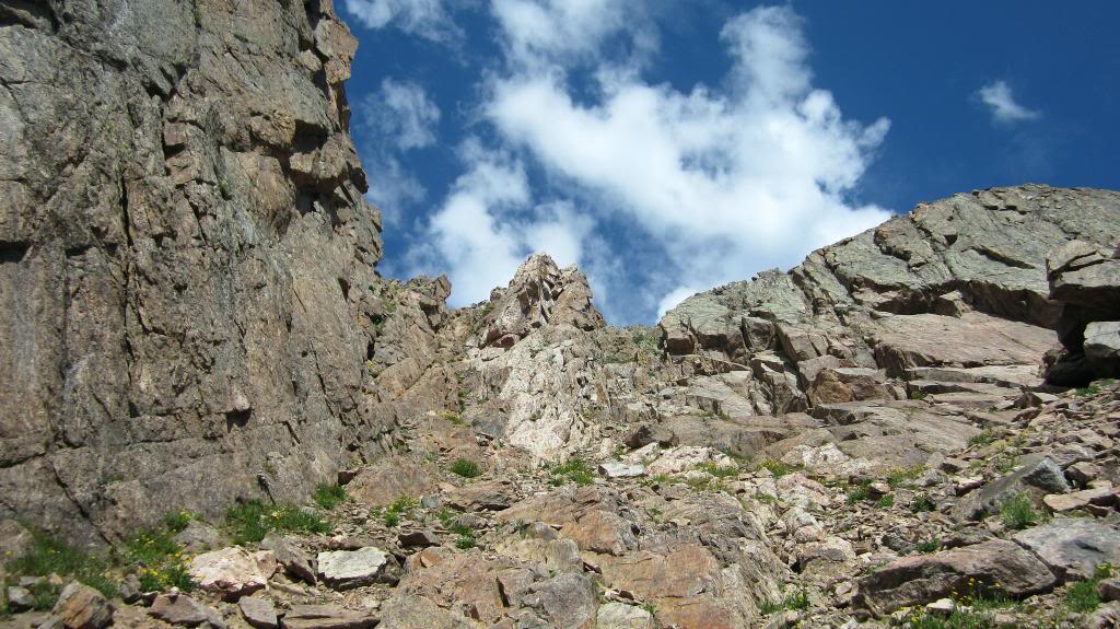
A look at the gully I used to get off the XYZ traverse and into upper-Boulder Lakes.
Even though I had to drop down to around 12,100′ in the basin before I could effectively skirt around the cliffs, I was able to make good time across to the base of “Peak Z”. After skipping and hopping across a field of car-sized boulders, I was on my way up Z’s loose choss fields. After several hundred feet I came to the grass saddle that separates Z from “Z Prime”, and continued on up class 2+ talus to the summit. I took a long break on top, admiring the rugged beauty of the central-Gore. Mini-Weminuche, I think that’s an apt description…
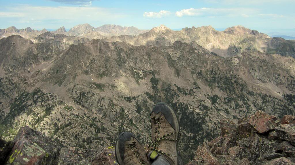
Summit of “Peak Z” looking northeast towards “Peak L”, “Gore Thumb”, Eagles Nest, and Powell.
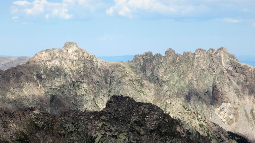
A closeup of “Peak L” (aka “Necklace Peak”).
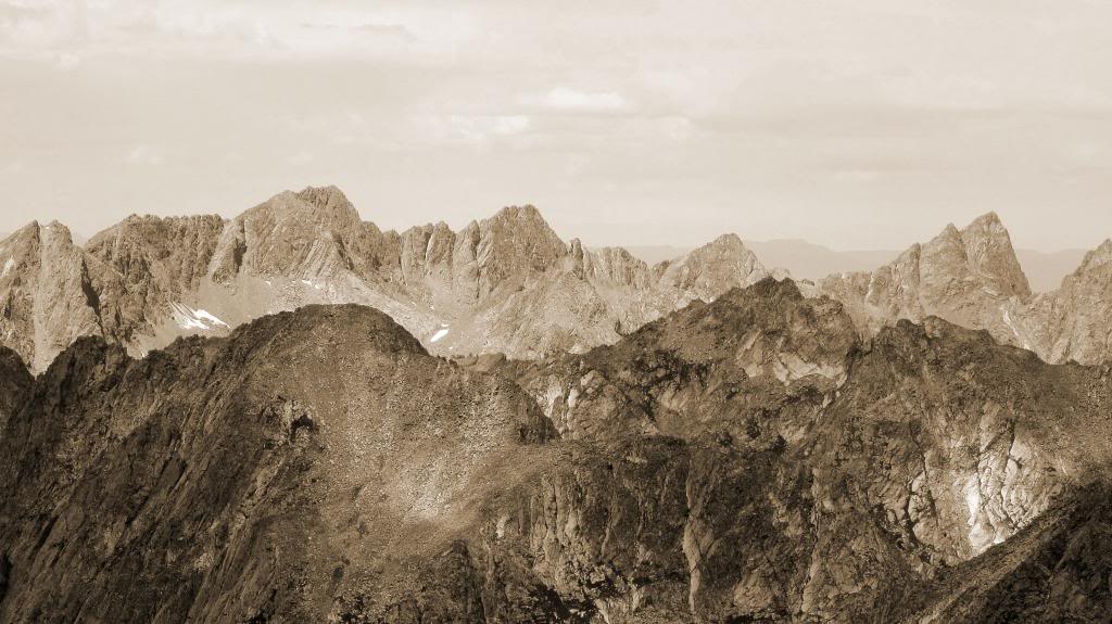
“Peak C” and the Ripsaw Ridge to the east.
After a good bout of R&R I loaded everything back into my daypack and descended to the grass saddle. Assuming the weather was still good after Z I had always planned to scrambe out to “Z Prime”, which can be described as a twelve thousand foot barnacle attached to Z’s backside. Helmet’s crew took the liberty of nicknaming this peak “Z Prime Time” or simply, “Deion Sanders Peak”. In an effort to keep this classic name alive, despite the fact that Deion would probably sh*t his pants at the prospect of scrambling across to his namesake peak, I’ve decided to include it in this TR.
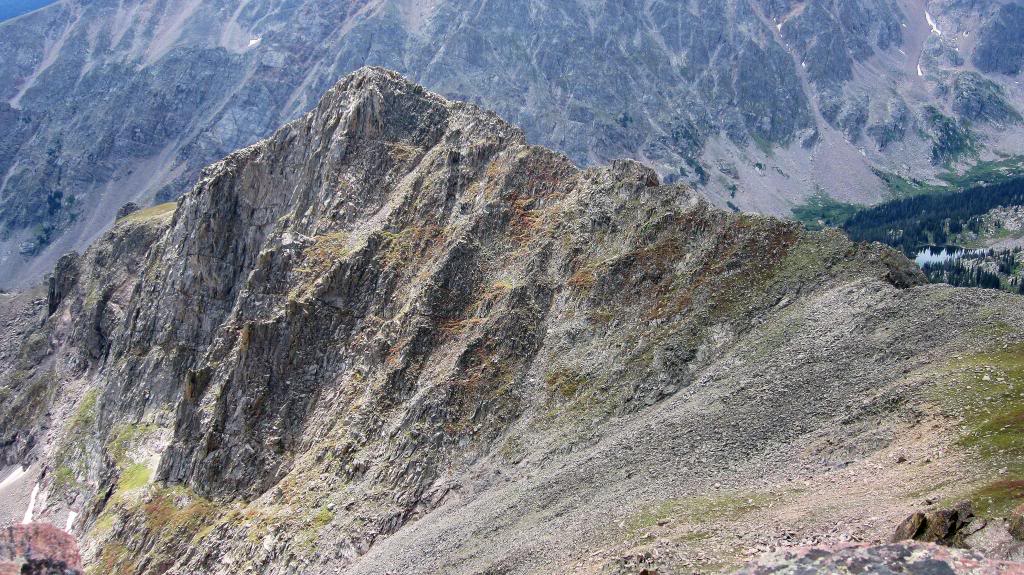
“The Peak Formerly Knows as Z Prime”. Every movement starts with a good idea.
The ridge out to “Z Prime” is a ton of fun. Though somewhat exposed, the scrambling is solid and like many Gore ridge runs, a more inviting route can be found by simply dropping down a tad or switching over to the other side of the ridge crest. I’d call the ridge mostly class 3 with a few class 4 moves thrown in here and there. The views from the top were awesome.
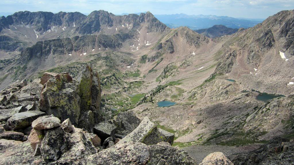
Summit of “Z Prime’ looking across Boulder Lakes towards Usable Pass, “Vista Point”, “Mt. Solitude”, and “Climber’s Point”.
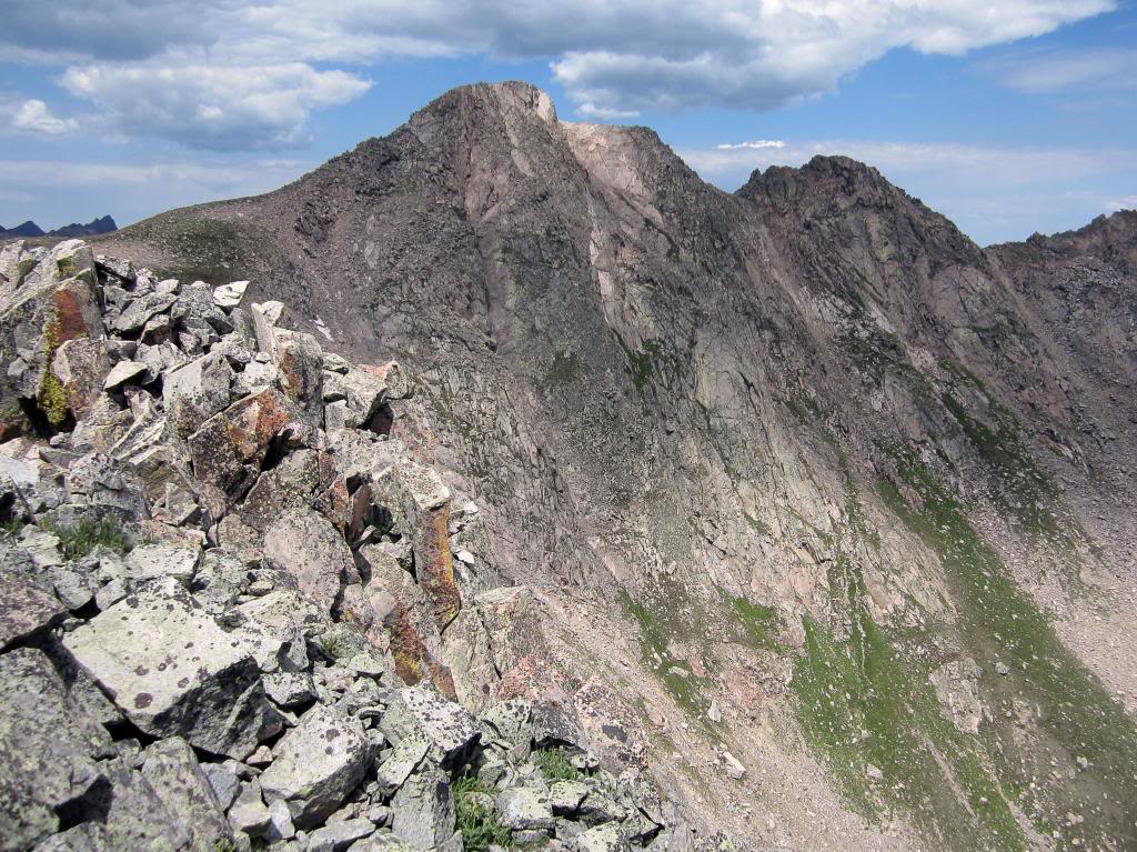
The rugged and vertical east face of “Peak Z” (aka “Gorgeous Peak”).
I made my way back across the ridge and reversed my ascent route back into the basin. From here I knew I had a long hike back to Usable Pass, but I managed a good, consistent pace through the upper-basin and arrived back at the pass at 1:30. Along the way I made sure to stop and admire the various lakes and streams I came across. Peaks Z and Z Prime, along with Boulder Lakes, provide a powerful sense of solitude and secluded wilderness feel. “Peak Z” is pretty far out there.
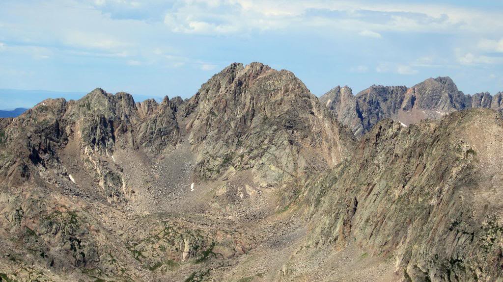
“Peak Q”, the beating heart of the Gore, as seen on the descent of “Z Prime”.
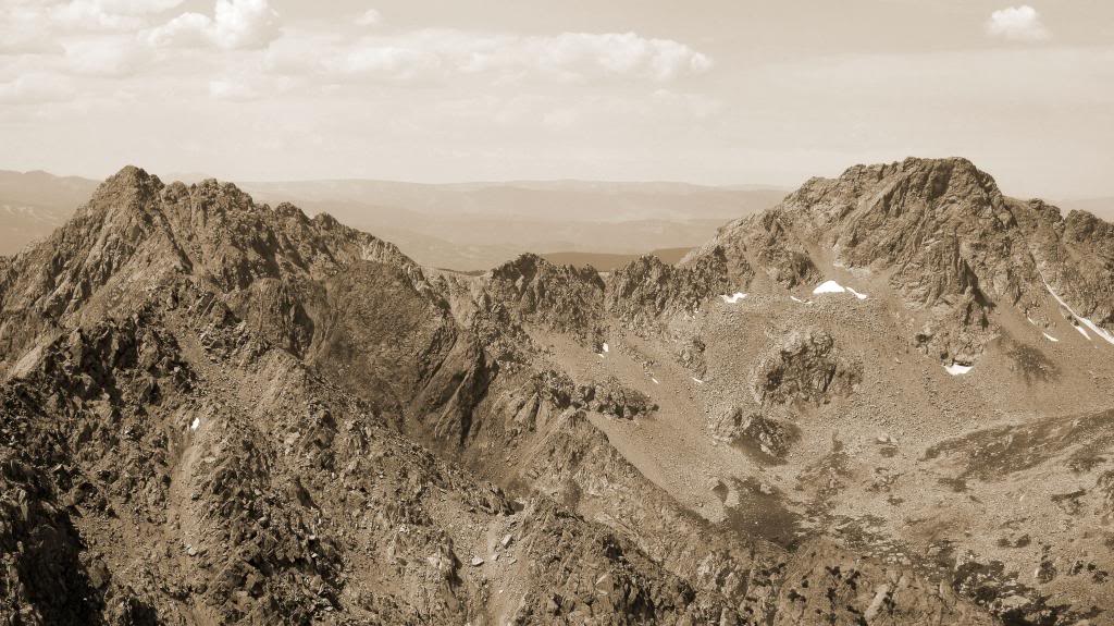
An interesting backside perspective on the Partners Traverse.
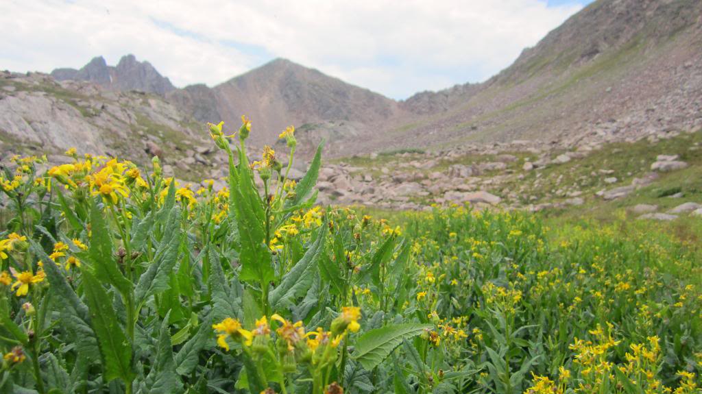
Looking up at Usable Pass from Boulder Lakes.
At the pass I slugged a Red Bull, took a look at the clouds overhead, and made the decision to give “Vista Point” a shot. As I mentioned earlier, the traverse between Usable Pass and Vista was one of the unknowns for me heading into the day. I since have read Gore Galore’s (on 14ers.com) account of climbing Vista via the pass (thanks for all the great beta, sir!) but as I stood there in the moment I was a tad apprehensive. I started towards the peak, reasoning that if the climb to the summit looked too involved I could always reverse the class 2 route back to the pass. I worked my way along a climbing traverse towards Vista, and as I got closer the scramble to the summit looked less and less intimidating. It turned out to be relatively straightforward; only a small section of class 3 to get past the main difficulties. I found myself on top of “Vista Point” at 2:15.
With the weather holding and the Red Bull kicked in, I was feeling great about my progress and continued across the gentle ridge to “Mt. Solitude”.
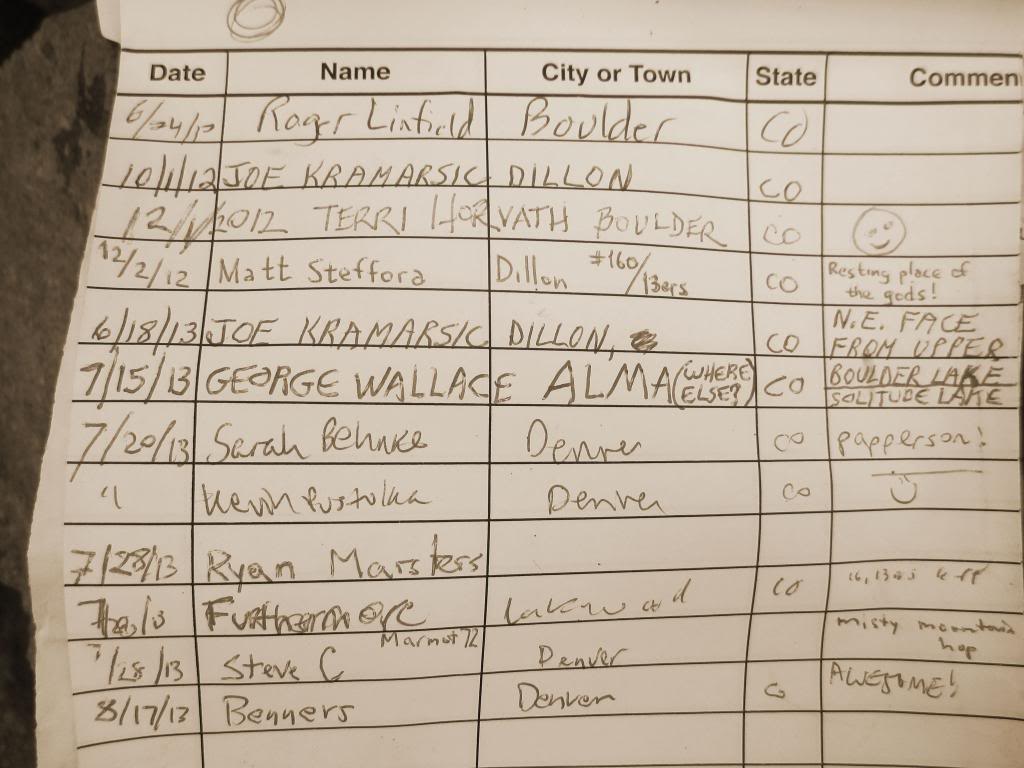
Familiar characters in the summit register.
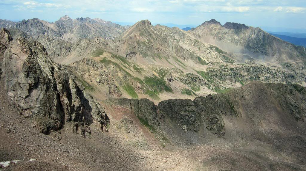
A look at the day’s work; X, Z, and Z Prime from the Solitude/Climber’s connecting ridge.
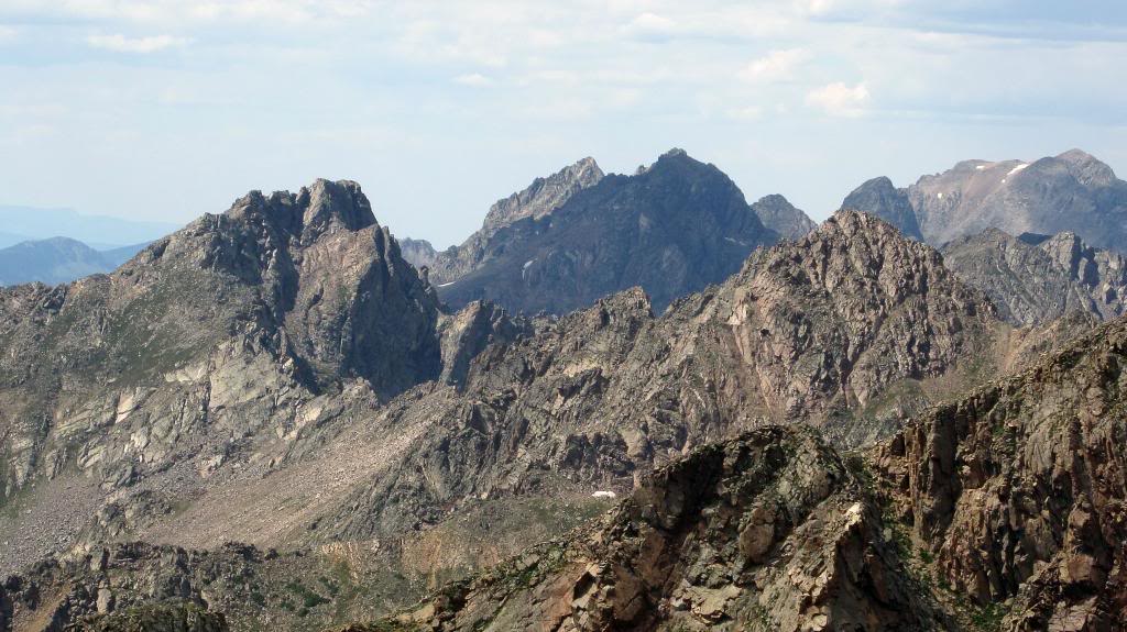
Another good shot of the rugged and wild Partners Traverse.
A few more minutes had me to Climber’s Point where I finished off the day’s vertical gain and was happy to have gravity on my side for the rest of the day.
One aspect of the Gores I always fail to consider is that it tends to throw curve balls at you when you think you’re out of the woods. The descent off Climber’s consists of a few thousand foot grass/scree slope to the valley below, so I didn’t think I had much else to be concerned about. Just when my mind started to wander towards the beer I had stashed in the creek I came across a formidable cliff and class 4 down climb. I should have known! A few more minutes of concentration and a few frazzled nerves had me to the bottom, where it was mostly smooth sailing back to the Pitkin Lake trail. The bushwhack to get down the final few hundred feet was noteworthy, but nothing too serious. Once on the trail I cruised back to the car, arriving at 5:00.
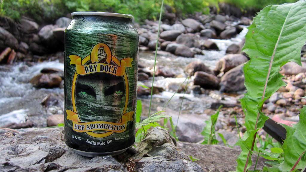
All in all another great day in an underrated range. I hope Lord Gore doesn’t castrate me for writing this.
Thanks for reading!
