Date: June 4, 2009
Skiers: Matt Kamper, Ben Conners
Route: Start Pikes Peak Highway at 12,800‘, ascent to summit via Northwest Slopes route, summit ski descent of Y Couloir to 12,400‘, climb back to summit, ski descent back to car.
Stats: 3,000‘ climbed, 3,000‘ skied, ~3 Miles, 4.5 Hours
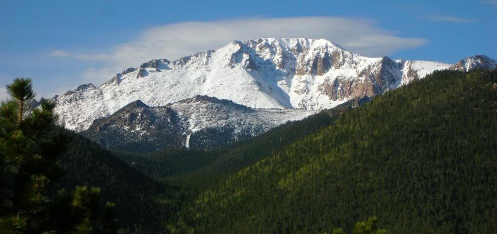
Pikes‘ North Face, June 4, 2009. Photo by Matt.
The Front Range got absolutely hammered this spring by several large storms in late April and early May. A month ago Longs Peak held so much snow we were able to skin straight across the boulder field, and Keplinger‘s Couloir had better coverage than in any trip report I‘d ever seen. Grays and Torreys had so much snow we were able to ski to within 300 feet of the car on May 29. Evans yielded a summit ski descent, as did Bierstadt. This really has been the year for the Front Range, and I decided it just wouldn‘t be complete without going for the Y on Pikes.
Matt and I met at the bottom of the toll road and loaded up into one vehicle. The fee was $10 per person, and the ranger told us we would likely only be able to get within 1000‘ of the summit as they were still plowing…plowing eh? Sounded good to us! The day was immaculate; sunny, blue bird, with a slight breeze. We parked a bit below 13,000‘ and began skinning up hard, crisp spring snow beside the road. Matt and I could feel it was gonna be a good day.
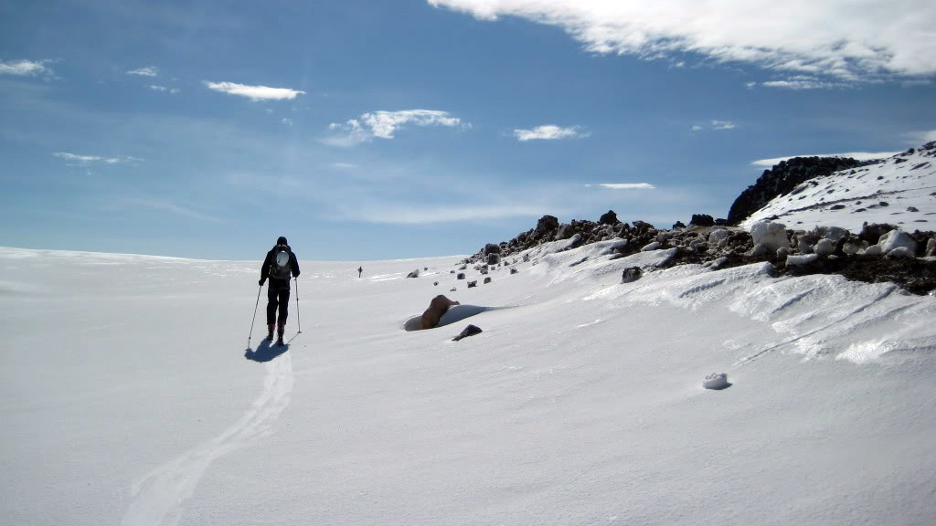
Skinning near the road.
We made quick time up the final leg of the Northwest Slopes route, skinning over to the edge of the Bottomless Pit precipice yielded some outstanding views of the North Face.
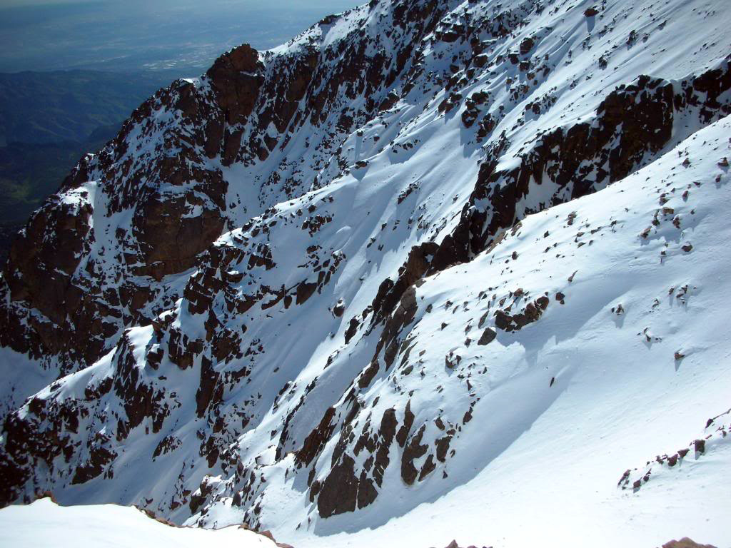
Views across Pikes’ magnificent North Face.
We summited at 9:35am, then skinned across the summit and scoped out our options. Ultimately we decided on the skier‘s right branch of the Y as, again thanks to doumall from 14ers.com and his excellent TR‘s, we knew exactly what to expect for the ski descent.
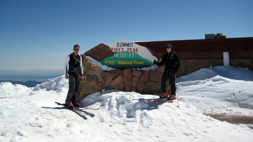
Gapers on the summit.
After a few handfuls of m&m‘s, Matt and I dropped in on an incredibly unforgiving hard pack. The skiing was tough as the proper softening had yet to occur up high, although lower in the couloir the snow softened to the point that, upon reaching our low, we were faced with a slushfest. I think too hard up top and too soft down below is just a characteristic inherent to skiing the Y. Regardless it was an amazing ski in an amazing setting.
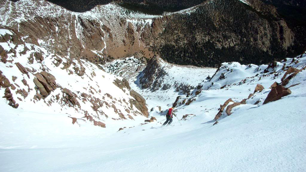
Matt right off the top.
From the first safety zone the couloir turns a corner into the unknown…
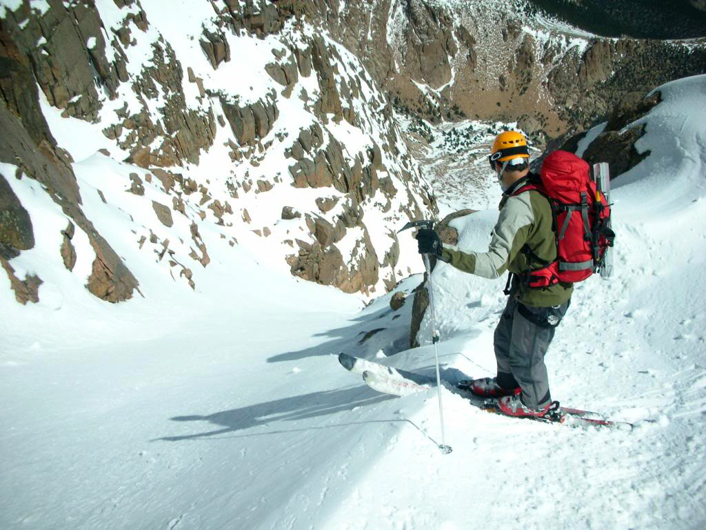
Around the corner we were presented an obstacle; a 20 foot cliff with no easy passage. There are several ways through which include the famous “duck walk” or a huge huck onto steep, icy terrain. Fortunately this snow season lent us yet another favor; a small, narrow chute to skier‘s right that allowed us to bypass the cliff. The angle through the chute was nearing 50 degrees and, given the snow conditions and the fact the chute is about as wide as our skis are long, we decided side stepping was the best way through.
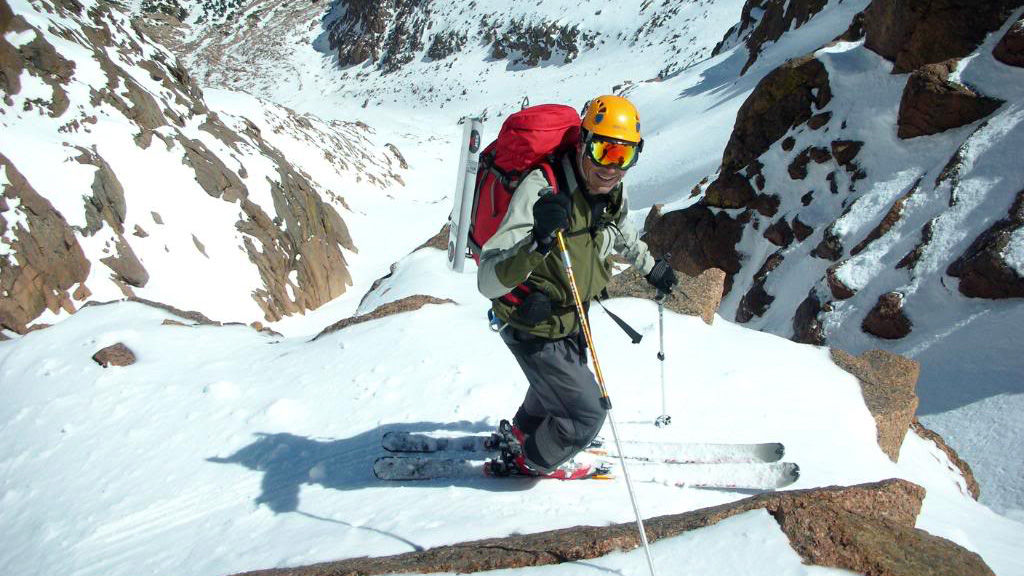
Here we came to an apparent impasse. A short traverse to skier’s right however led us to an exit chute.
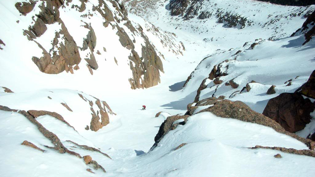
Matt through.
I found a good tactic was to bury my whippet into the ice with my right hand and systematically stomp down the chute, I was making turns after about twenty feet.
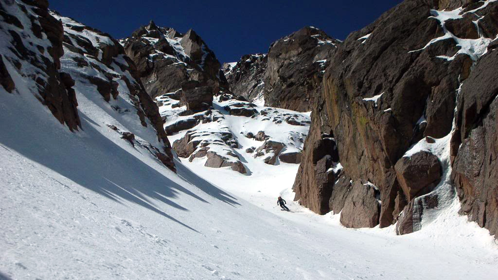
Lower down.
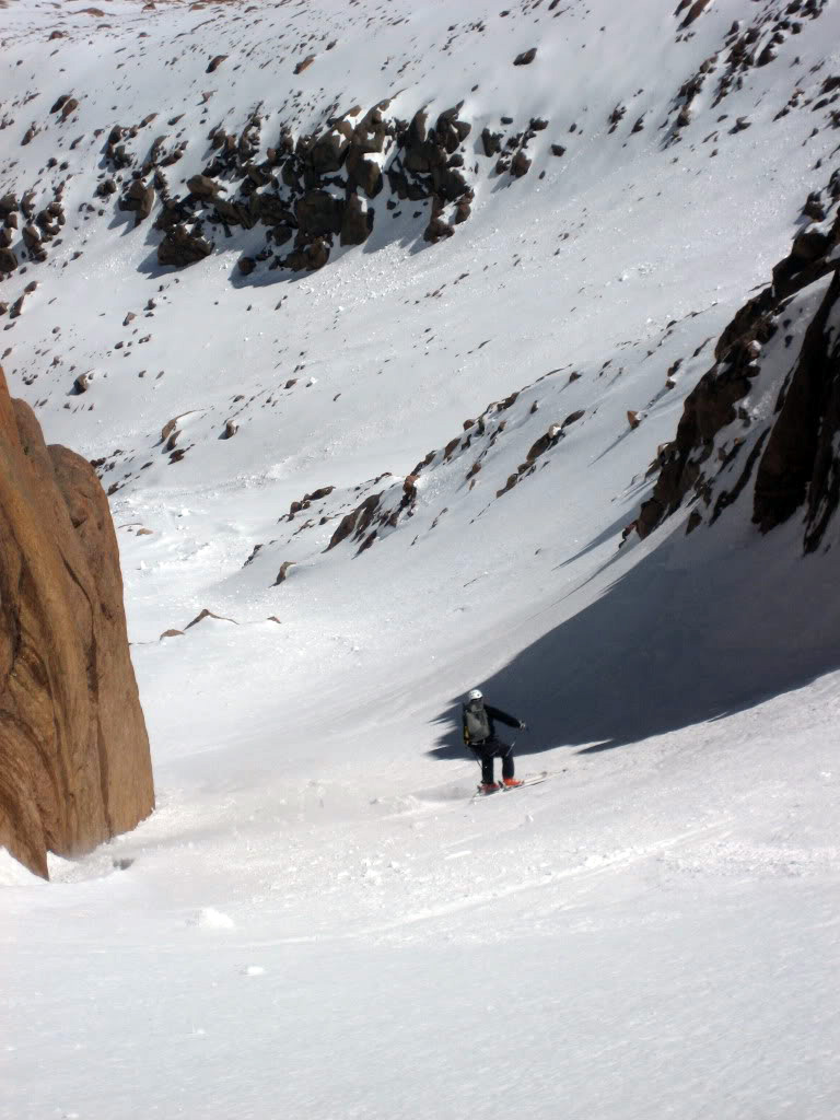
Photo by Matt.
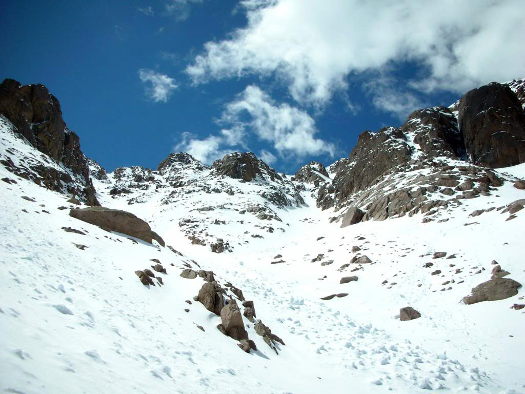
Looking back up the ski route (right) and the Railroad Couloir (left).
We skied to around 12,400‘, took a snack break, and threw the skis on our backs for the climb out. The snow was beginning to really soften quickly at this lower elevation which made the first few hundred feet difficult. Once a little higher we were able to set a better boot pack and our pace quickened. I would agree with those who would claim climbing the Y is about as fun as skiing it.
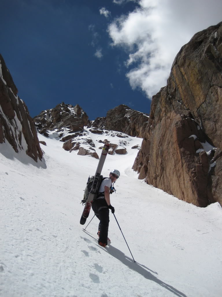
On the climb out. Photo by Matt.
It took us an hour and forty minutes to climb back to the summit. At this point the weather was beginning to turn so we didn‘t linger for long. A brief ski of a thousand vertical landed us back at the car four and a half hours after we set out.
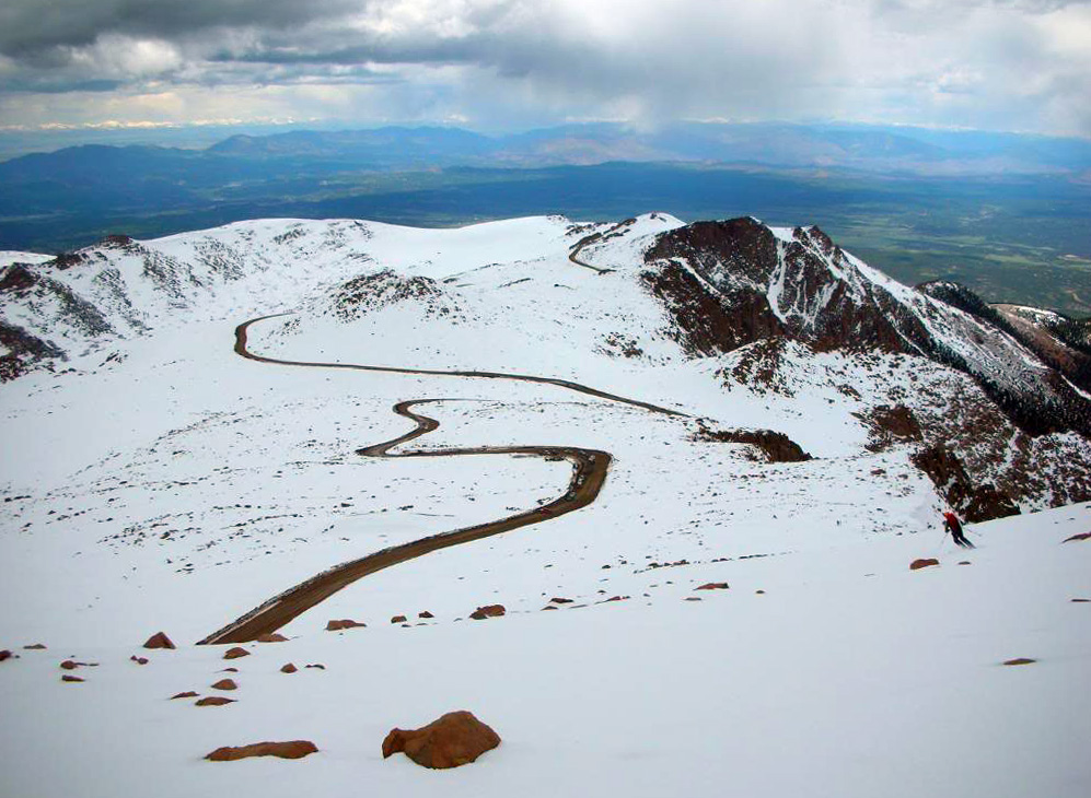
The final few turns of the day in an interesting setting.
Overall this was a marvelous day and an incredibly fun climb and ski, in my opinion Dawson is justified in how highly he speaks of this tour. Get out there and get it! Thanks for reading.
