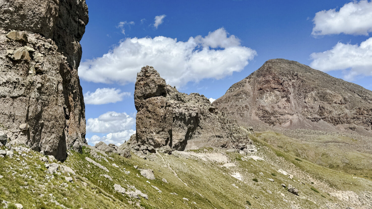
A few weeks back I drove down to the Creede area for two days of solo peakbagging. The objective this time around was to nab the rest of the 13ers neighboring Rio Grande Pyramid as well as Chief Mountain to the east, all of which are accessible from the same trailhead on the east end of Rio Grande Reservoir. The pair of days went swimmingly, and I was happy to finally revisit this beautiful and remote corner of the Weminuche. Keep reading…
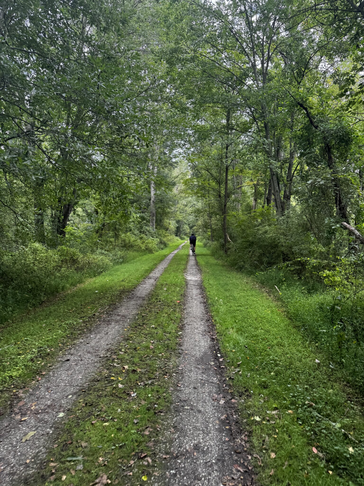
Hugh and I realized we hadn’t been back to our hometown in almost 10 years and decided what better excuse than to head back with our bikes. We grew up in a town called Monkton, MD roughly 30 miles north of Baltimore. We had the privilege of living near the NCR Trail (full name the Torrey C. Brown Northern Central Railway Rail Trail) – the crown jewel of Northern Baltimore County. It stretches 40 miles from Cockeysville, MD to York, PA with plenty of history in between.
It’s a cyclists dream – 80 roundtrip miles of crushed, smooth gravel that has replaced what was once railroad tracks, and since it follows a rail line, it’s basically completely flat. Much has been built up around the trail through the years – restaurants, breweries, parks, etc and it has really become a way of life for the people that live in the area. I’m not going to geek out too bad on the history of this rail line. It obviously has a lot of sentimental value to me and my brother, but there are some cool nuggets of history that can be relevant to the masses. Built in the 1830’s, the NCR served as a line for farmer’s to move their crops between Baltimore and Philadelphia. Keep Reading….
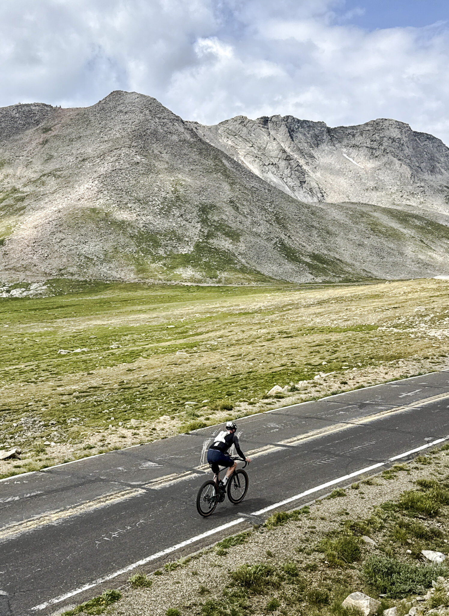
When it comes to classic Colorado road cycling routes, the ride up and down fourteener Mt. Blue Sky (fka Mt. Evans) from Idaho Springs is about as famous as they come. Though admittedly not much of a pure road biker myself, this one had long been on the list in the must-do-at-least-once category. So when Brian shot me an invite to join he and his cousin Kevin on a ride up the highest paved road in North America earlier this summer I immediately signed up.
In terms of route description there’s really not much to say. Start in Idaho Springs (in our case from the Westbound and Down Brewing parking lot) and ride up the Mt. Blue Sky Scenic Byway (aka CO Road 103) to Echo Lake. Nail the single right turn up the Mt. Blue Sky Road (aka CO Road 5) and follow it all the way up the summit at 14,268 feet. Then reverse it all the way back down and drink beer. The only question mark for the day was the weather, as we were looking at 60-70% chance of rain and thunderstorms in the afternoon with clouds building and rolling through the area all day. Keep Reading….
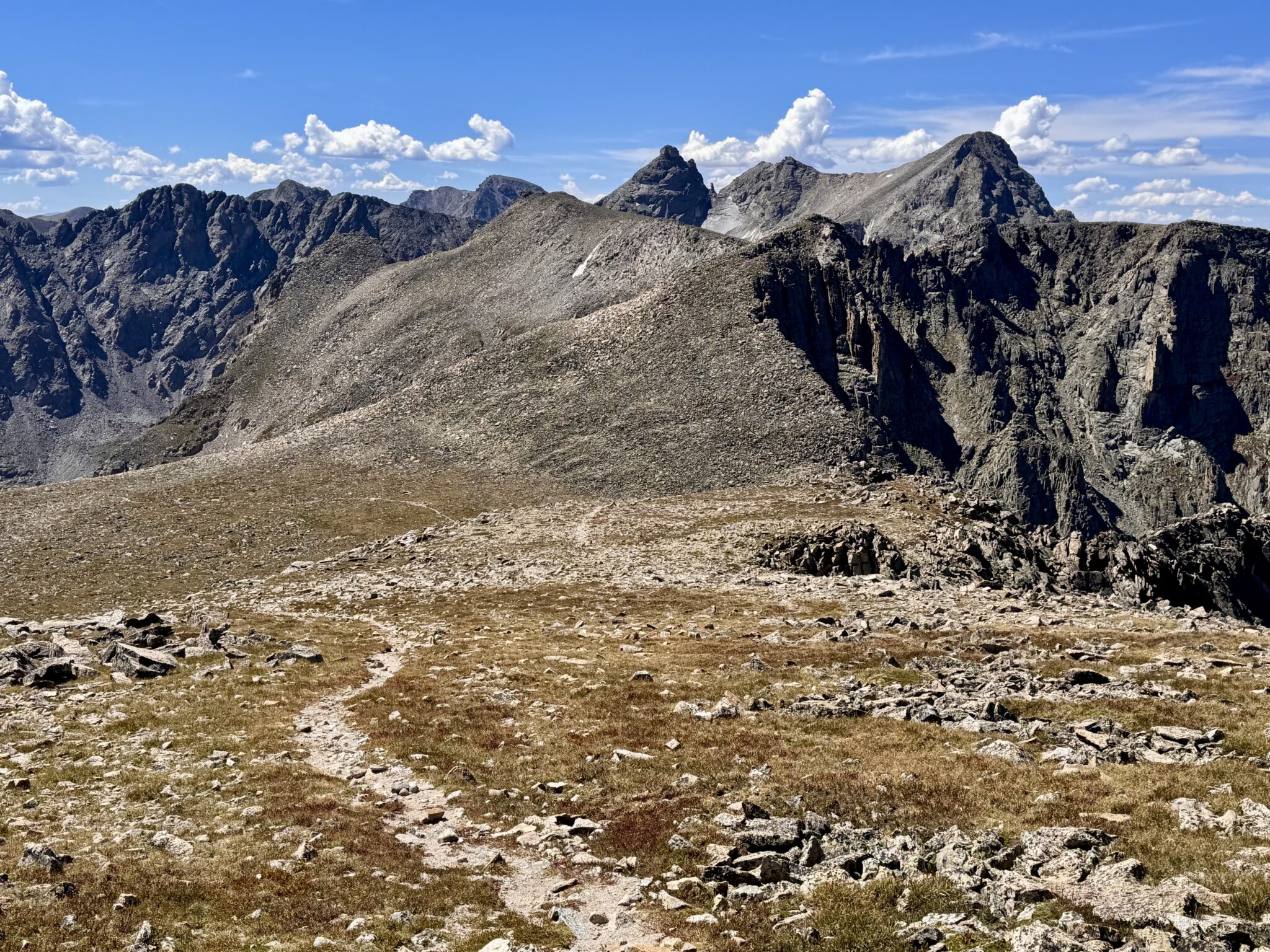
The Indian Peaks Wilderness is an area that I (surprisingly) just haven’t spent much time in during my mountaineering wanderings. This is in spite of the fact that I, A) Went to CU, a mere stone’s throw away, and B) Lived in Westminster for years. I guess I always had other objectives in mind during both other phases of life. Go figure. Keep Reading…